Aberedw
Settlement in Radnorshire
Wales
Aberedw

Aberedw is a small village located in the county of Radnorshire, Wales. Situated on the banks of the River Edw, it is surrounded by picturesque countryside and offers a tranquil setting for residents and visitors alike. The village is positioned approximately 6 miles southeast of Builth Wells and 14 miles northeast of Brecon.
Aberedw is known for its rich history, with evidence of human habitation dating back to prehistoric times. The area is home to a number of historical landmarks, including the ruins of Aberedw Castle, which was built in the 12th century and played a role in several conflicts throughout its existence.
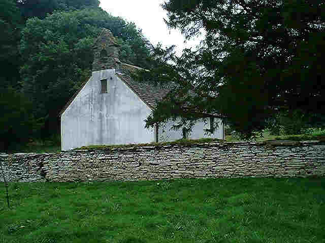
The village itself features a charming collection of traditional stone houses, giving it a quaint and timeless atmosphere. There is a small community church, St Cewydd's, which dates back to the 13th century and provides a focal point for religious activities in the area.
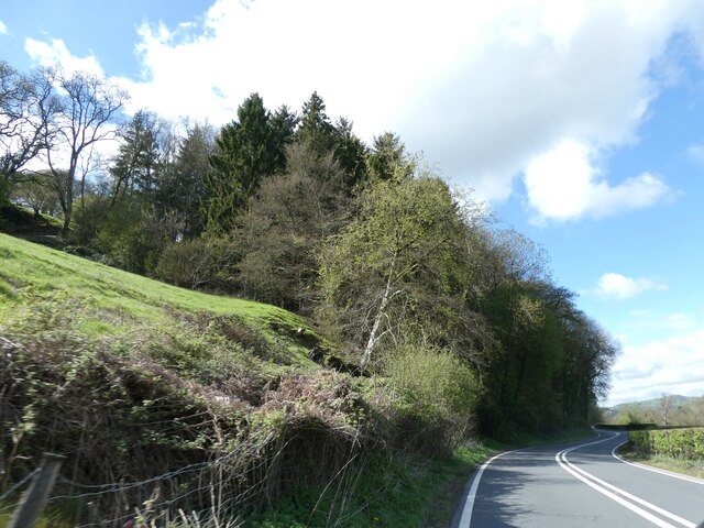
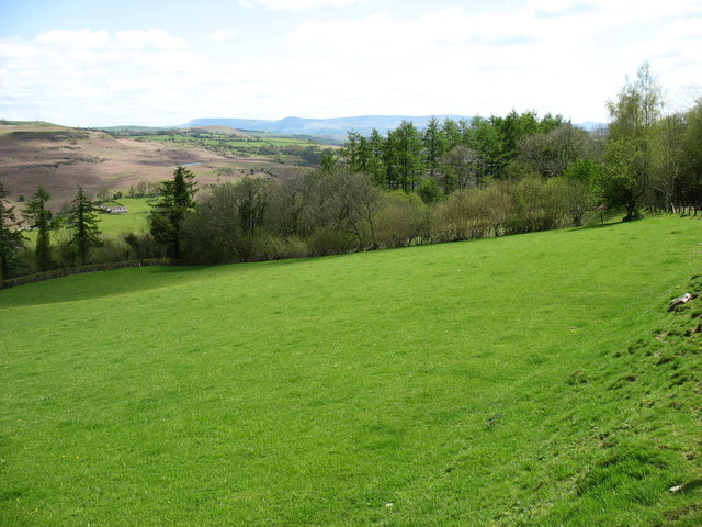
Nature enthusiasts will find plenty to explore in the surrounding countryside. The River Edw offers opportunities for fishing and wildlife spotting, while the nearby hills and valleys provide excellent hiking trails with stunning views. The area is also known for its diverse bird population, making it a popular destination for birdwatchers.
Although relatively secluded, Aberedw is within easy reach of amenities. Nearby towns provide access to shops, healthcare facilities, and schools, ensuring that residents have access to essential services. Whether seeking tranquility, historical exploration, or outdoor adventures, Aberedw offers a peaceful and idyllic setting for residents and visitors to enjoy.
If you have any feedback on the listing, please let us know in the comments section below.
Aberedw Images
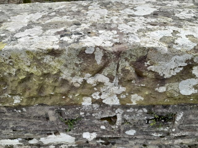
Images are sourced within 2km of 52.117127/-3.346961 or Grid Reference SO0747. Thanks to Geograph Open Source API. All images are credited.


Aberedw is located at Grid Ref: SO0747 (Lat: 52.117127, Lng: -3.346961)
Unitary Authority: Powys
Police Authority: Dyfed Powys
What 3 Words
///possible.baker.evolution. Near Builth Wells, Powys
Nearby Locations
Related Wikis
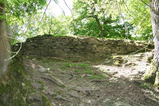
Aberedw Castle
The remains of Aberedw Castle, also known as 'Castle in Elfael Uwch Mynydd', are located at the small village of Aberedw in the county of Powys, Mid-Wales...

Aberedw
Aberedw is a village and community in Radnorshire, Powys, Wales. The community covers an area of 3,055 hectares (11.80 sq mi). Its population was 229,...

Aberedw railway station
Aberedw railway station served the village of Aberedw in Powys, Wales. Aberedw Castle was demolished to build the station and some of the stone from the...

Alltmawr
Alltmawr is a village in the community of Erwood, Powys, Wales, which is 44 miles (71 km) from Cardiff and 144 miles (232 km) from London. St Mauritius...

District of Radnorshire
The District of Radnorshire (Welsh: Maesyfed) was one of three local government districts of the county of Powys, Wales, from 1974 until 1996. The district...
Llanbadarn y Garreg
Llanbadarn-y-Garreg is a village in the community of Aberedw, Powys, Wales. It is 45.1 miles (72.6 km) from Cardiff and 141.9 miles (228.4 km) from London...
Llanfaredd Halt railway station
Llanfaredd Halt railway station was an unstaffed railway station opened by the Great Western Railway on 7 May 1934 on the old Mid-Wales line between Builth...

Brecon and Radnorshire (UK Parliament constituency)
Brecon and Radnorshire (Welsh: Brycheiniog a Sir Faesyfed) is a county constituency in Wales of the House of Commons of the Parliament of the United Kingdom...
Nearby Amenities
Located within 500m of 52.117127,-3.346961Have you been to Aberedw?
Leave your review of Aberedw below (or comments, questions and feedback).