Banbury Road Belt
Wood, Forest in Oxfordshire West Oxfordshire
England
Banbury Road Belt
Banbury Road Belt, located in Oxfordshire, England, is a picturesque woodland area known for its natural beauty and diverse ecosystem. Covering a vast expanse, the belt stretches along the Banbury Road, a major thoroughfare in the region. It is a popular destination for nature lovers, walkers, and wildlife enthusiasts.
The woodland is primarily composed of deciduous trees, including oak, beech, and birch, which create a dense and lush environment. This rich vegetation provides a habitat for a variety of fauna, making it a haven for wildlife. Visitors often spot squirrels, deer, and a wide range of bird species, including owls, woodpeckers, and thrushes.
The Banbury Road Belt is crisscrossed by numerous footpaths and trails, allowing visitors to explore its natural wonders. These paths wind through the woods, leading to tranquil clearings, babbling brooks, and hidden ponds. The peaceful ambiance and serene surroundings make it an ideal spot for relaxation and contemplation.
The woodland is also of historical significance, with some sections dating back several centuries. The trees have witnessed the evolution of the surrounding landscape and have stood as silent witnesses to the passing of time.
Thanks to its proximity to Oxford, the Banbury Road Belt is easily accessible to both locals and tourists. Its natural beauty and diverse wildlife make it a must-visit destination for those seeking a respite from the urban hustle and bustle. Whether for a leisurely stroll, a picnic, or wildlife observation, the Banbury Road Belt offers a tranquil escape into the heart of nature.
If you have any feedback on the listing, please let us know in the comments section below.
Banbury Road Belt Images
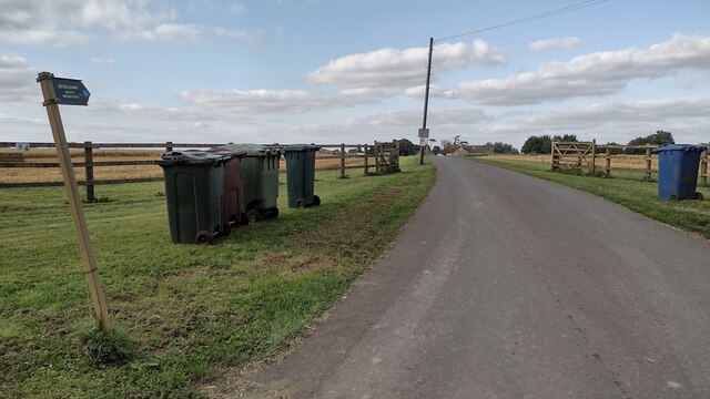
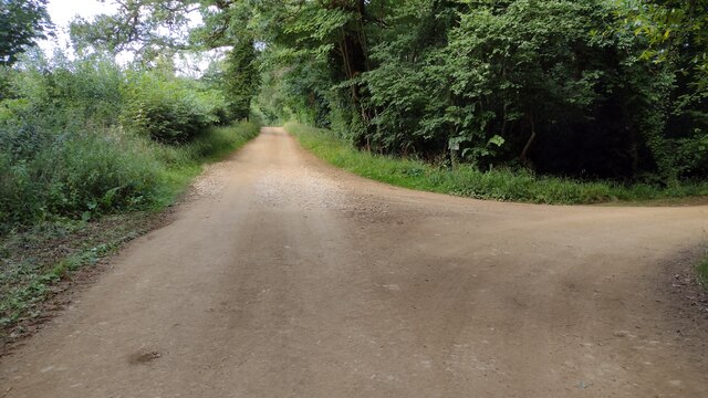
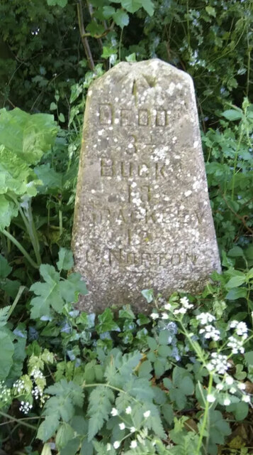
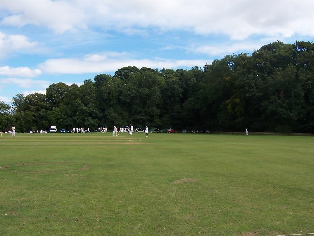
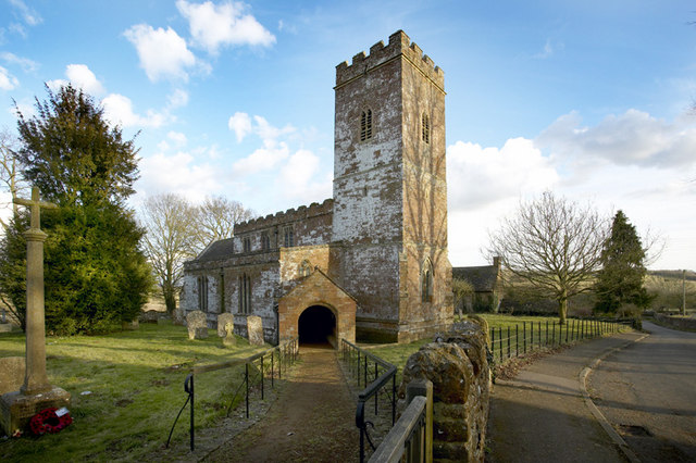
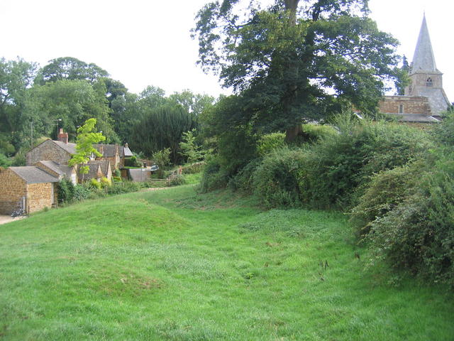
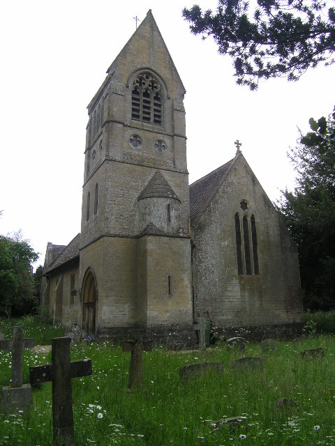
Images are sourced within 2km of 51.979498/-1.4344771 or Grid Reference SP3831. Thanks to Geograph Open Source API. All images are credited.


Banbury Road Belt is located at Grid Ref: SP3831 (Lat: 51.979498, Lng: -1.4344771)
Administrative County: Oxfordshire
District: West Oxfordshire
Police Authority: Thames Valley
What 3 Words
///hitters.giants.signified. Near Hook Norton, Oxfordshire
Nearby Locations
Related Wikis

Swerford
Swerford is a village and civil parish on the River Swere in the Cotswold Hills in Oxfordshire, England. It is about 4 miles (6.4 km) northeast of Chipping...
Swerford Castle
Swerford Castle was a medieval castle in the village of Swerford, Oxfordshire, England. == History == Swerford Castle was built in a motte and bailey design...

Great Tew
Great Tew is an English village and civil parish in Oxfordshire, about 5 miles (8 km) north-east of Chipping Norton and 8 miles (13 km) south-west of Banbury...

Wigginton, Oxfordshire
Wigginton is a village and civil parish about 6 miles (10 km) southwest of Banbury in Oxfordshire. The village is beside the River Swere, which forms the...
Little Tew
Little Tew is an English village and civil parish about 4+1⁄2 miles (7 km) northeast of Chipping Norton and 8+1⁄2 miles (14 km) southwest of Banbury in...

South Newington
South Newington is a village and civil parish on the south bank of the River Swere in the Cotswold Hills in Oxfordshire, England, about 5 miles (8 km)...

Hook Norton Cutting and Banks
Hook Norton Cutting and Banks is a 6.7-hectare (17-acre) biological and geological Site of Special Scientific Interest south of Hook Norton in Oxfordshire...

Hook Norton ironstone quarries (Brymbo)
The Hook Norton ironstone quarries (Brymbo) were ironstone quarries near Hook Norton in Oxfordshire, England. The quarries were in operation from 1899...
Have you been to Banbury Road Belt?
Leave your review of Banbury Road Belt below (or comments, questions and feedback).