Butler's Belt
Wood, Forest in Oxfordshire West Oxfordshire
England
Butler's Belt
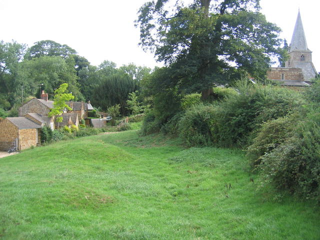
Butler's Belt is a beautiful woodland area located in Oxfordshire, England. Situated near the village of Wood, this forested region is a haven for nature lovers and outdoor enthusiasts. Covering a vast expanse of land, Butler's Belt is known for its diverse range of flora and fauna, making it a popular destination for wildlife enthusiasts and bird watchers.
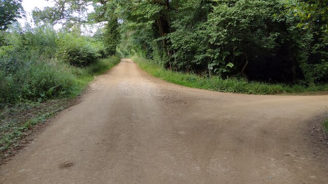
The forest itself is characterized by its dense canopy of trees, including beech, oak, and birch. The woodland floor is adorned with a variety of wildflowers and ferns, creating a picturesque and tranquil atmosphere. There are numerous walking trails and pathways that wind their way through the forest, allowing visitors to explore its natural beauty at their own pace.
One of the highlights of Butler's Belt is its rich bird population. The forest serves as a nesting ground for a variety of bird species, including woodpeckers, owls, and warblers. Birdwatchers can often spot these feathered inhabitants perched on tree branches or flying through the forest canopy.
Butler's Belt is also home to a diverse range of wildlife, including deer, foxes, and squirrels. Nature enthusiasts can catch glimpses of these animals as they roam freely through the forest, adding to the area's natural charm.
Overall, Butler's Belt in Oxfordshire is a serene and enchanting woodland area, offering visitors a chance to connect with nature and enjoy the beauty of the English countryside.
If you have any feedback on the listing, please let us know in the comments section below.
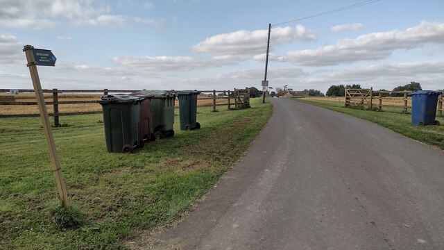
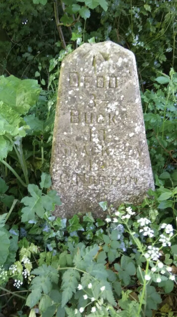
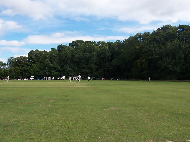
Butler's Belt Images
Images are sourced within 2km of 51.976333/-1.4382585 or Grid Reference SP3831. Thanks to Geograph Open Source API. All images are credited.


Butler's Belt is located at Grid Ref: SP3831 (Lat: 51.976333, Lng: -1.4382585)
Administrative County: Oxfordshire
District: West Oxfordshire
Police Authority: Thames Valley
What 3 Words
///bits.circle.wand. Near Hook Norton, Oxfordshire
Nearby Locations
Related Wikis
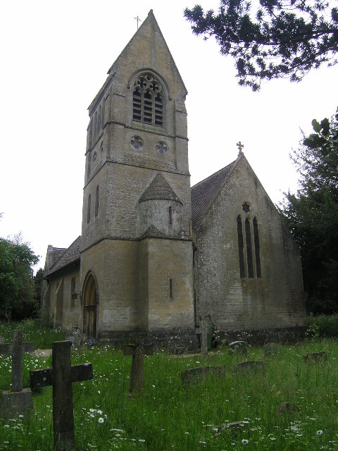
Swerford Castle
Swerford Castle was a medieval castle in the village of Swerford, Oxfordshire, England. == History == Swerford Castle was built in a motte and bailey design...

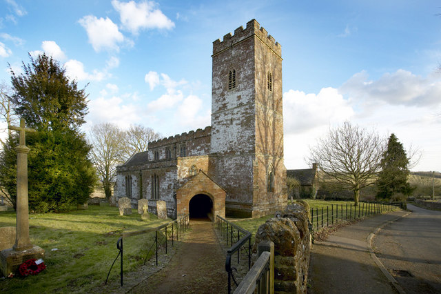
Great Tew
Great Tew is an English village and civil parish in Oxfordshire, about 5 miles (8 km) north-east of Chipping Norton and 8 miles (13 km) south-west of Banbury...

Swerford
Swerford is a village and civil parish on the River Swere in the Cotswold Hills in Oxfordshire, England. It is about 4 miles (6.4 km) northeast of Chipping...
Little Tew
Little Tew is an English village and civil parish about 4+1⁄2 miles (7 km) northeast of Chipping Norton and 8+1⁄2 miles (14 km) southwest of Banbury in...
Wigginton, Oxfordshire
Wigginton is a village and civil parish about 6 miles (10 km) southwest of Banbury in Oxfordshire. The village is beside the River Swere, which forms the...

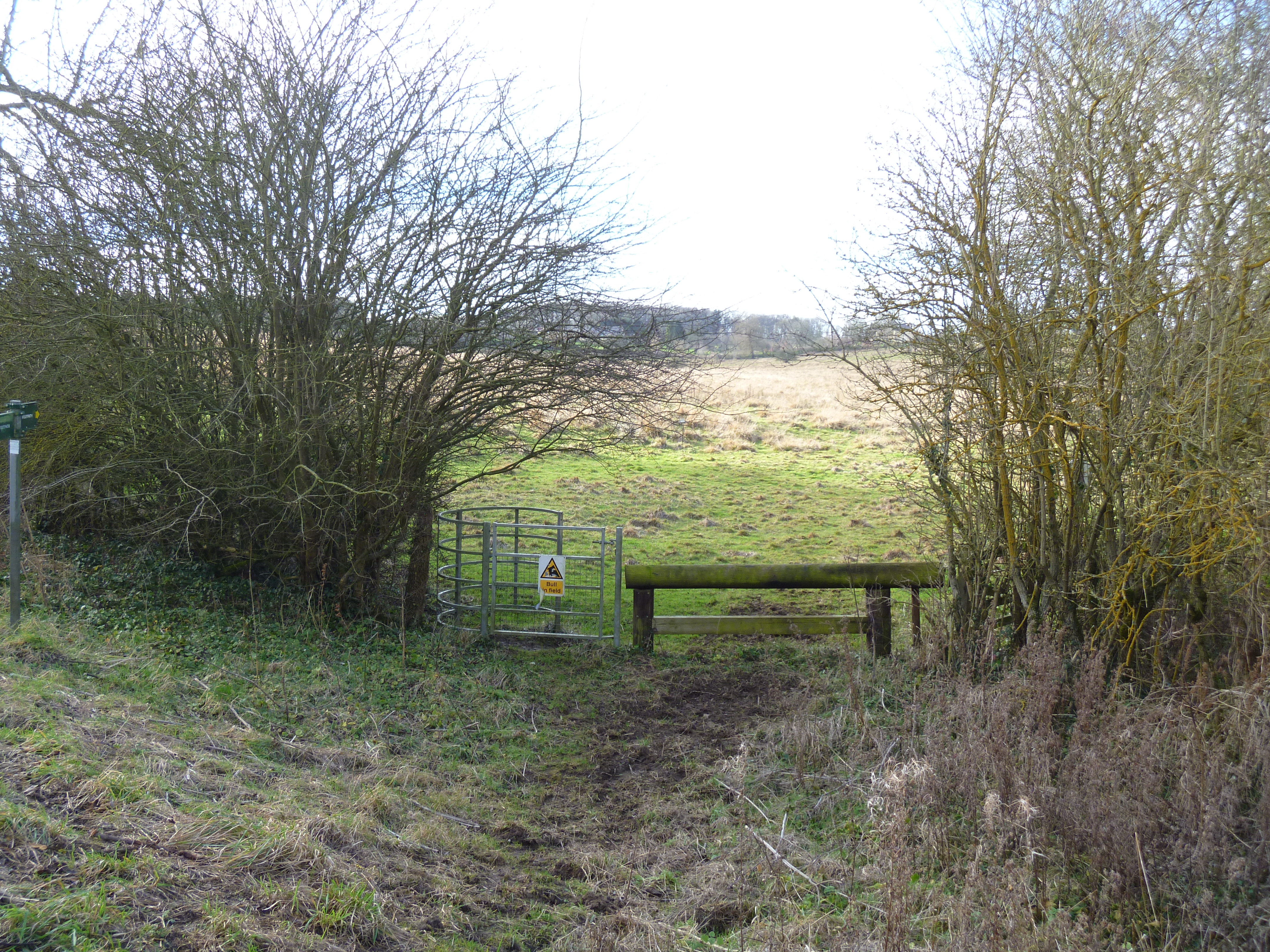
Hook Norton Cutting and Banks
Hook Norton Cutting and Banks is a 6.7-hectare (17-acre) biological and geological Site of Special Scientific Interest south of Hook Norton in Oxfordshire...
Little Tew Meadows
Little Tew Meadows is a 40-hectare (99-acre) biological Site of Special Scientific Interest east of Chipping Norton in Oxfordshire.This site is composed...

South Newington
South Newington is a village and civil parish on the south bank of the River Swere in the Cotswold Hills in Oxfordshire, England, about 5 miles (8 km)...
Related Videos

Oxfordshire 3.8 mile circular walk: Great Tew & Little Tew
Great Tew - Little Tew - 3.8 mile circular walk Guided Walk: ...
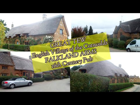
Walking around an English Village of GREAT TEW, UK/ FALKLAND ARMS 16th Century Pub/THATCHED COTTAGES
Great Tew is an English village and civil parish in Oxfordshire, 5 miles of Chipping Norton and 8 miles south west of Banbury.

I TOOK MY MUM GLAMPING
Day trip and over night stay to the beautiful area of Swerford, just outside Banbury and Oxford. Found this lovely location/stay on ...

Cornbury Festival 2018 Highlights!
Cornbury Festival 2018 highlights. Three epic days at Cornbury Music Festival crammed into a three minute video! This was our ...
Nearby Amenities
Located within 500m of 51.976333,-1.4382585Have you been to Butler's Belt?
Leave your review of Butler's Belt below (or comments, questions and feedback).