Brook Plantation
Wood, Forest in Derbyshire
England
Brook Plantation
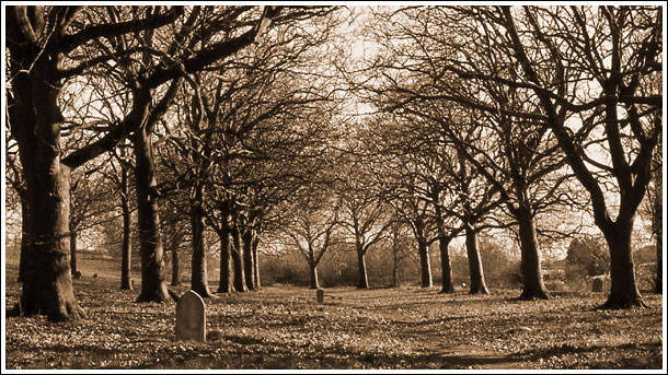
Brook Plantation is a picturesque woodland area located in Derbyshire, England. Situated in the heart of the county, this enchanting forest covers an expansive area that spans over hectares. It offers visitors a serene and tranquil escape from the bustling city life.
The plantation is characterized by its dense and ancient woodlands, which are predominantly composed of native broadleaf trees such as oak, beech, and ash. These magnificent trees create a lush canopy that filters sunlight, casting a dappled glow on the forest floor below. The woodland is also home to a variety of wildlife, including deer, squirrels, and a plethora of bird species.
A network of well-maintained trails weaves through the plantation, allowing visitors to explore its natural beauty at their own pace. The pathways wind alongside babbling brooks, adding to the idyllic ambiance of the area. There are several picnic spots scattered throughout the plantation, providing the perfect opportunity for visitors to relax and immerse themselves in the tranquility of the surroundings.
Brook Plantation is not only a haven for nature enthusiasts but also a site of historical significance. It is believed that the plantation has existed for centuries, with evidence of human activity dating back to the Roman era. The area was once used for timber production, and remnants of old sawmills can still be found within the woodland.
Overall, Brook Plantation in Derbyshire is a captivating destination for those seeking solace in nature. Its ancient woodlands, diverse wildlife, and rich history make it a truly remarkable place to visit and appreciate the beauty of the natural world.
If you have any feedback on the listing, please let us know in the comments section below.
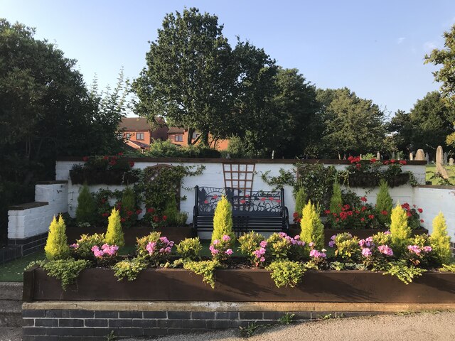
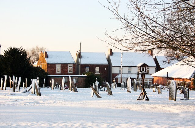
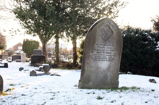
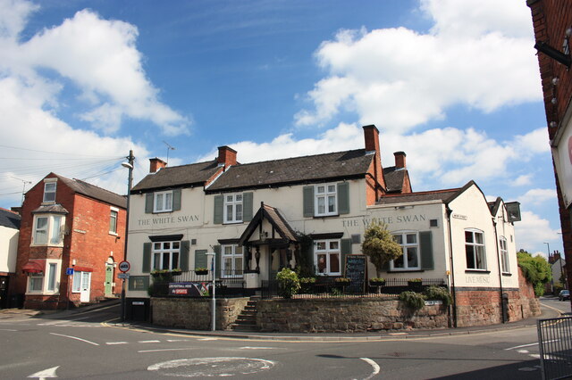
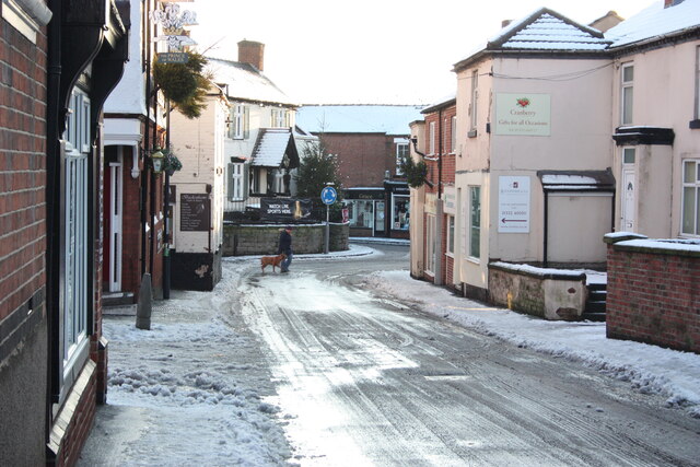
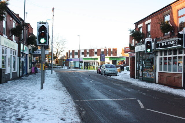
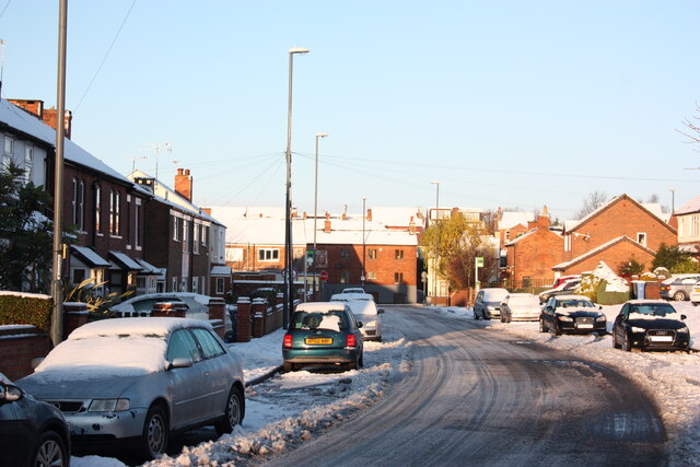
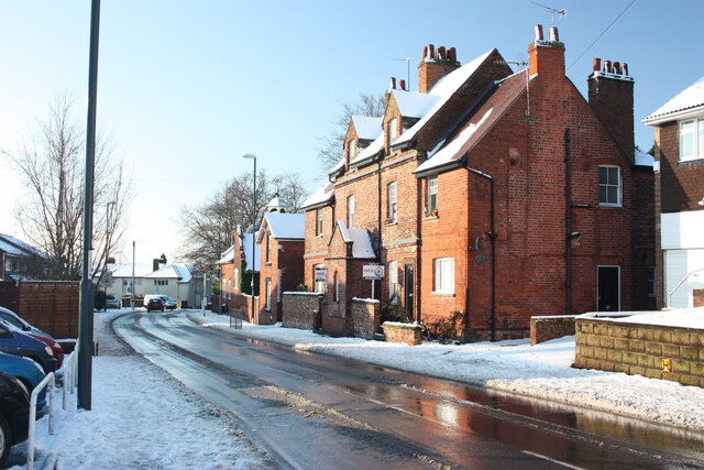
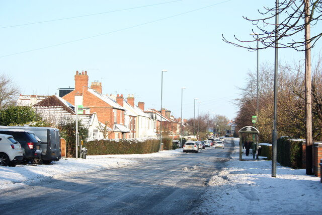
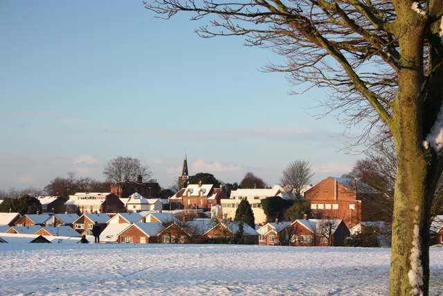
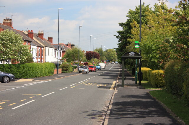
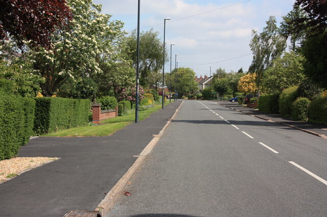
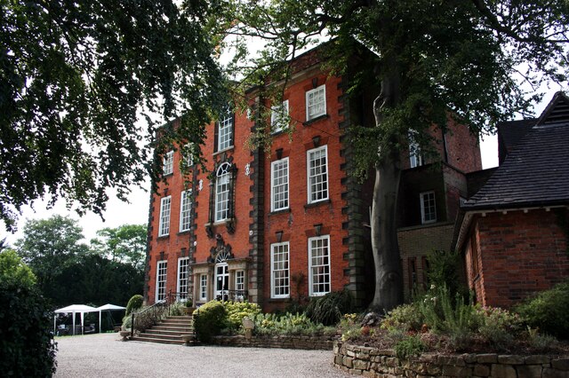
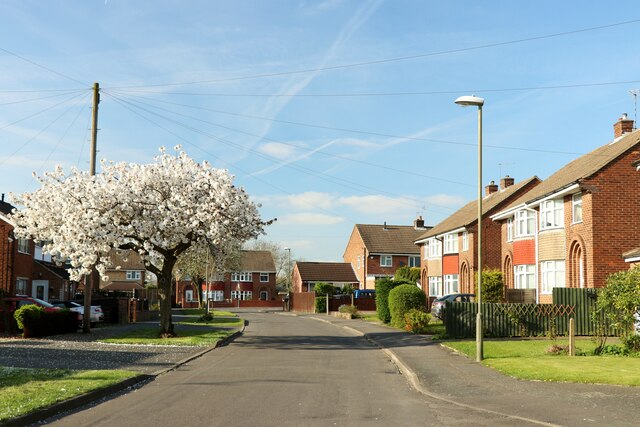
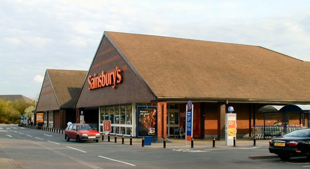
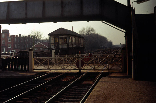
Brook Plantation Images
Images are sourced within 2km of 52.931653/-1.4221666 or Grid Reference SK3837. Thanks to Geograph Open Source API. All images are credited.

Brook Plantation is located at Grid Ref: SK3837 (Lat: 52.931653, Lng: -1.4221666)
Unitary Authority: Derby
Police Authority: Derbyshire
What 3 Words
///than.yappy.page. Near Derby, Derbyshire
Nearby Locations
Related Wikis

Lees Brook Community School
Lees Brook Community School (previously Lees Brook Sports College) is a co-educational secondary school and sixth form located in the Chaddesden area of...

St Mary's Church, Chaddesden
St Mary's Church is a Church of England parish church in Chaddesden, a suburb of Derby, England. One of the oldest churches in the city, it is a Grade...

Chaddesden
Chaddesden, also known locally as Chadd, is a large residential suburb of Derby, United Kingdom. Historically a separate village centred on Chaddesden...
West Park School
West Park School is a mixed secondary school located in the Spondon area of Derby in the English county of Derbyshire.Previously a foundation school administered...
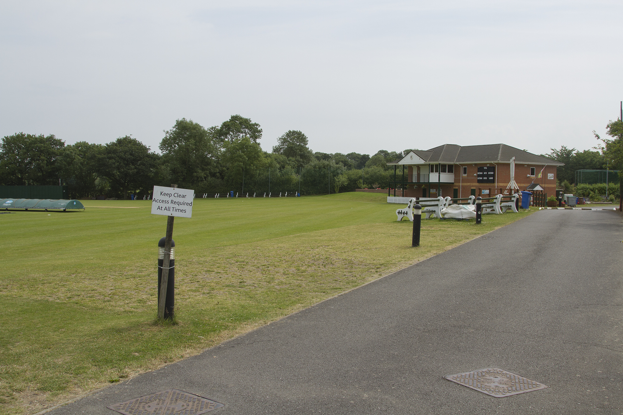
Spondon Cricket Club
Spondon Cricket Club is an amateur cricket club based in Spondon, Derbyshire, England. The club has a history dating back to the late 19th century. �...
Oakwood, Derby
Oakwood is a modern housing estate in Derby, Derbyshire, England that was built mainly in the 1980s and 1990s. At the time of construction, it was one...

Malt Shovel, Spondon
The Malt Shovel is a Grade II listed public house at Potter Street, Spondon, Derby. The pub is known for its unmodernised period interiors and internal...

St Werburgh's Church, Spondon
St. Werburgh's Church, Spondon, is a parish church in the Inclusive Anglo-Catholic tradition of the Church of England located in Spondon, Derbyshire....
Nearby Amenities
Located within 500m of 52.931653,-1.4221666Have you been to Brook Plantation?
Leave your review of Brook Plantation below (or comments, questions and feedback).