Beck Woods
Wood, Forest in Yorkshire
England
Beck Woods
The requested URL returned error: 429 Too Many Requests
If you have any feedback on the listing, please let us know in the comments section below.
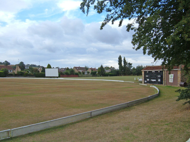
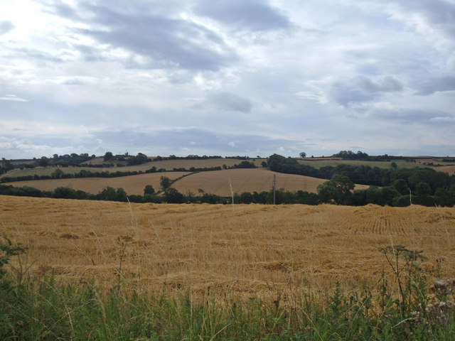
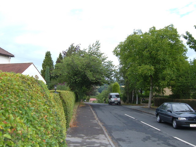
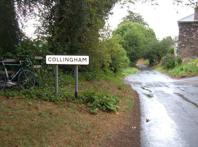
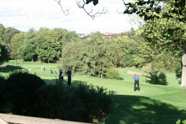
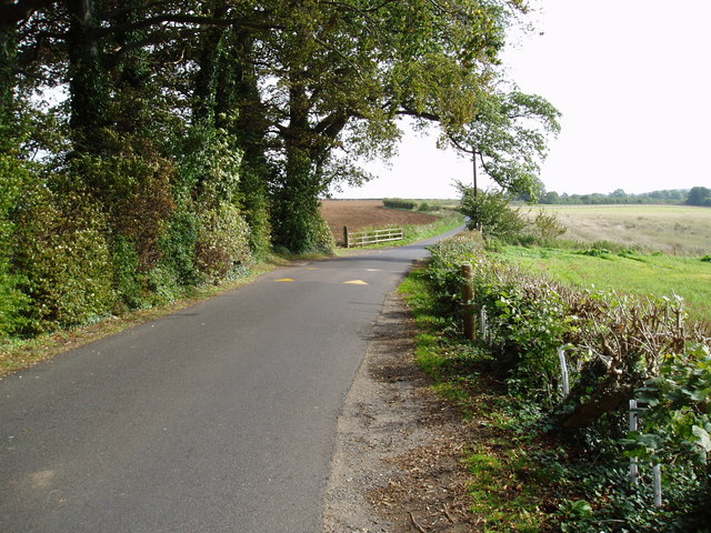
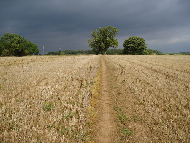
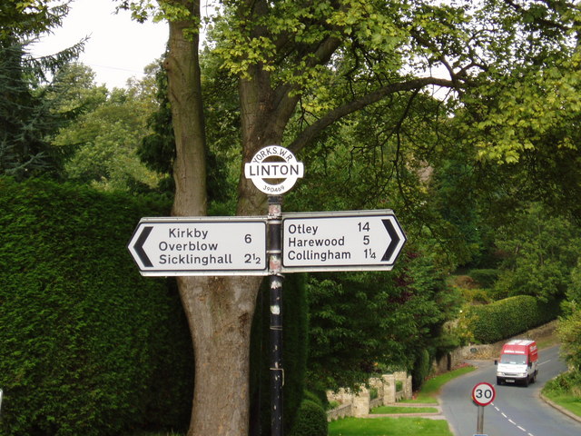
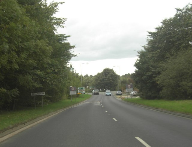
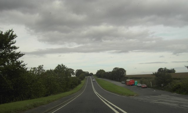
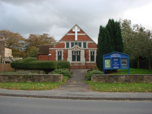
Beck Woods Images
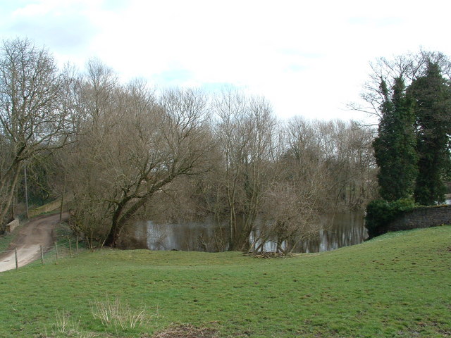
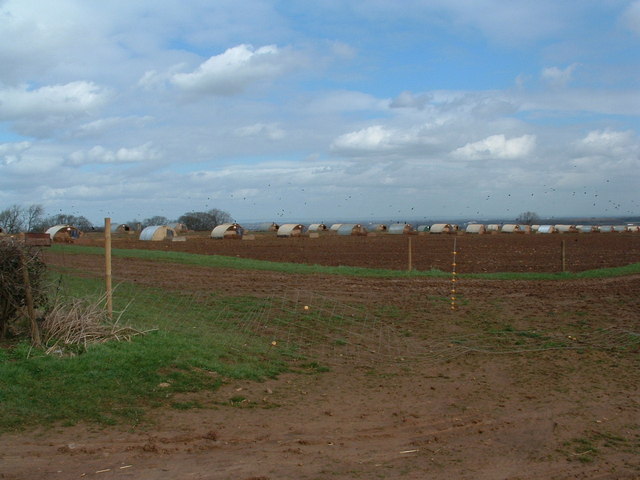
Images are sourced within 2km of 53.91143/-1.4100431 or Grid Reference SE3846. Thanks to Geograph Open Source API. All images are credited.


Beck Woods is located at Grid Ref: SE3846 (Lat: 53.91143, Lng: -1.4100431)
Division: West Riding
Unitary Authority: Leeds
Police Authority: West Yorkshire
What 3 Words
///defensive.louder.finds. Near Collingham, West Yorkshire
Nearby Locations
Related Wikis

Collingham Bridge railway station
Collingham Bridge railway station was a railway station serving the villages of Collingham and Linton in West Yorkshire, England. The station opened on...
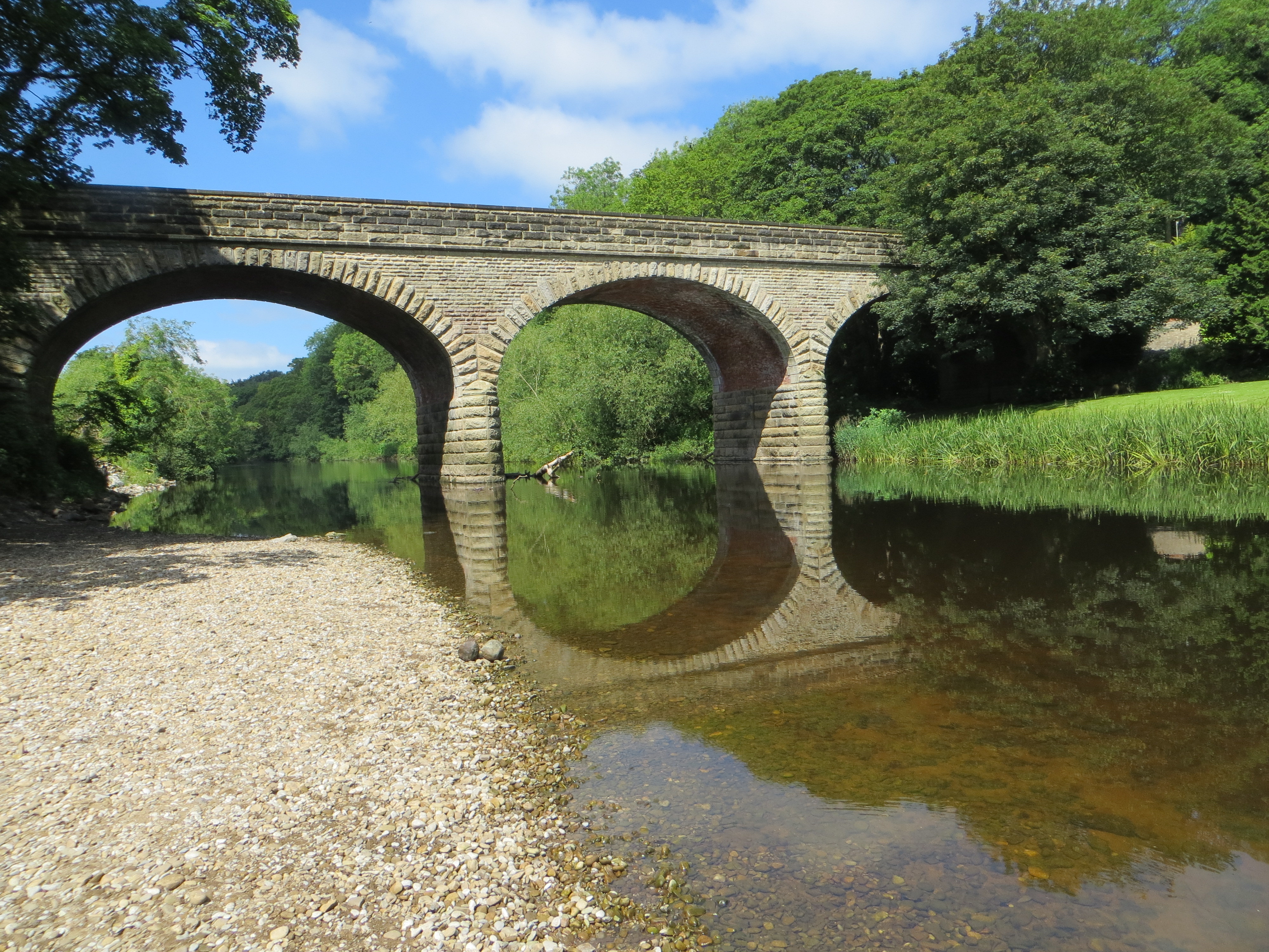
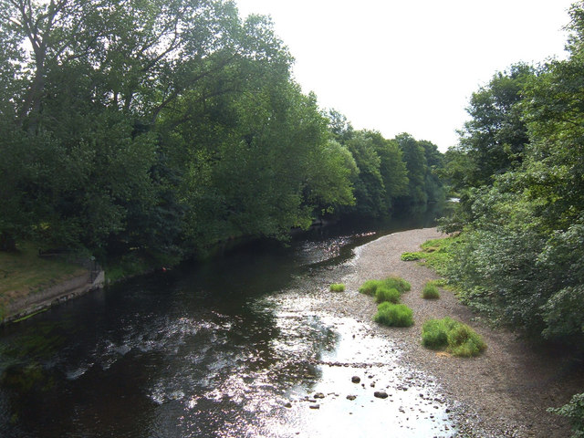
Linton Bridge
Linton Bridge carries the minor road that links Collingham and Linton over the River Wharfe near Wetherby in West Yorkshire, England. The Grade II listed...
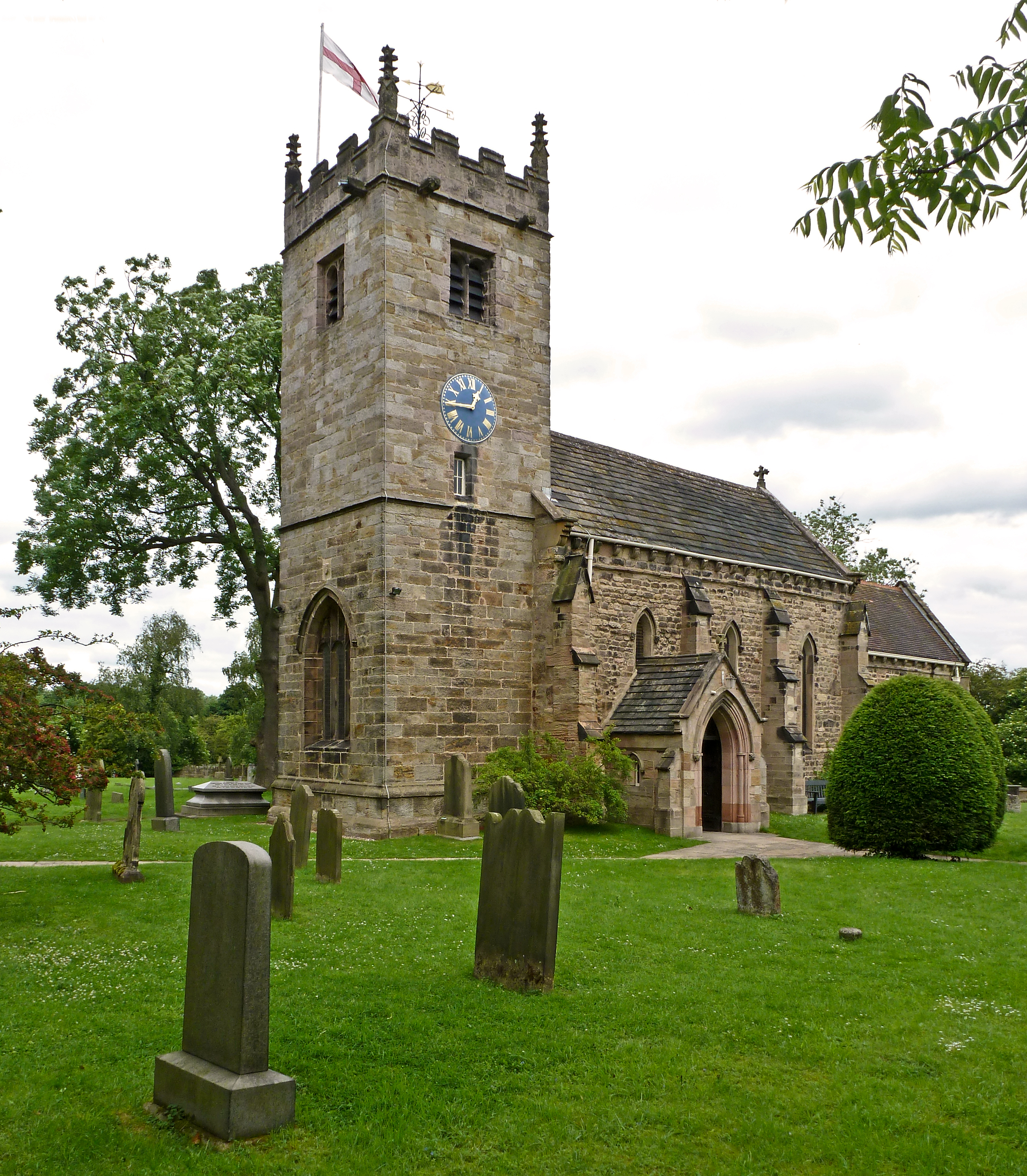
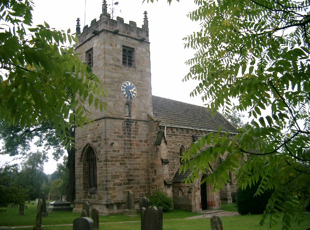
St Oswald's Church, Collingham
St Oswald's Church is an active Anglican church in Collingham, West Yorkshire, England. It is in the Harrogate deanery and Diocese of Leeds. The church...
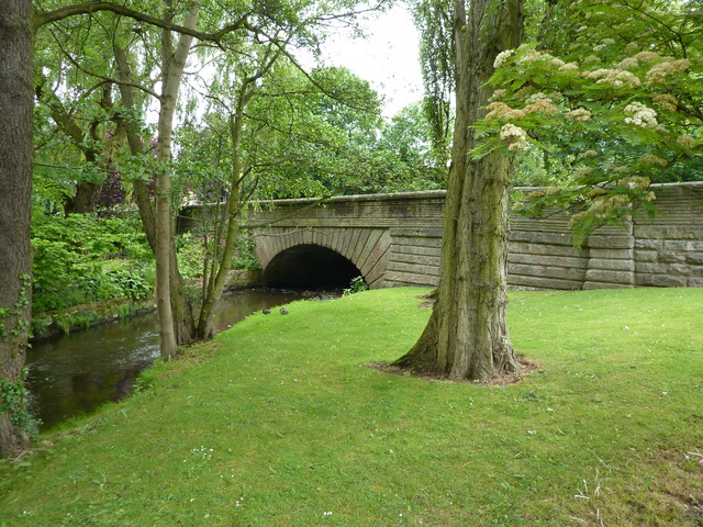
Collingham Bridge
Collingham Bridge is a road bridge that spans the Collingham Beck, a tributary of the River Wharfe on Harewood Road in Collingham, West Yorkshire, England...
Nearby Amenities
Located within 500m of 53.91143,-1.4100431Have you been to Beck Woods?
Leave your review of Beck Woods below (or comments, questions and feedback).