Dog Kennel Wood
Wood, Forest in Oxfordshire West Oxfordshire
England
Dog Kennel Wood
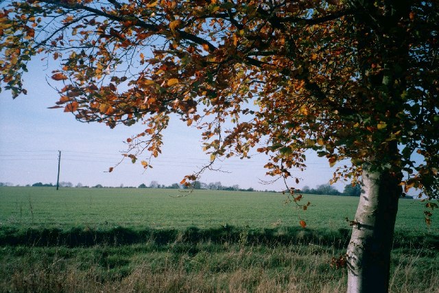
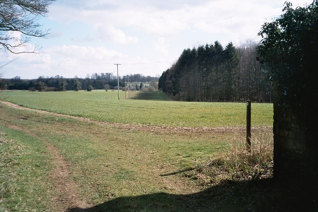
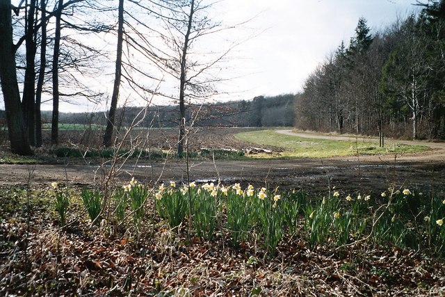
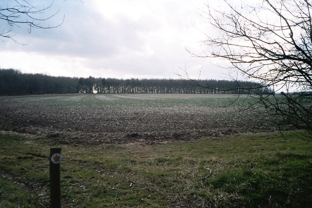
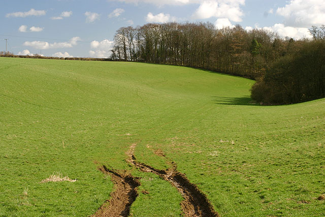
Dog Kennel Wood is a charming woodland located in the county of Oxfordshire, England. Situated near the village of Wood, this forested area covers an area of approximately 50 acres, making it an ideal retreat for dog owners and nature enthusiasts alike.
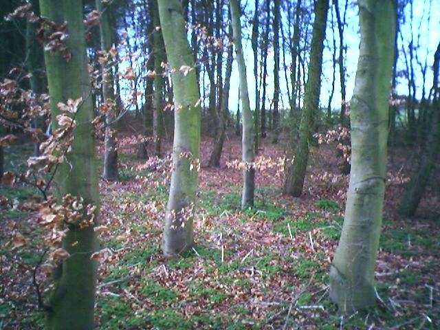
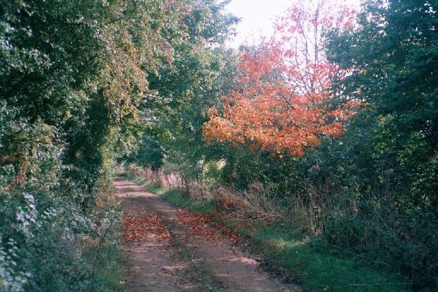
The wood is aptly named after the historic dog kennels that were once located here, serving the local hunting community in the past. Today, it offers a serene and peaceful environment for walking, hiking, and exploring with your furry companions. The dense canopy of trees provides ample shade during summer months and adds to the overall beauty of the wood.
Visitors to Dog Kennel Wood can expect to find a diverse range of tree species, including oak, beech, and birch, which provide a habitat for numerous wildlife species. Birdwatchers may spot various woodland birds, such as woodpeckers and thrushes, as well as occasional sightings of deer and foxes.
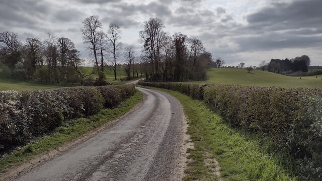
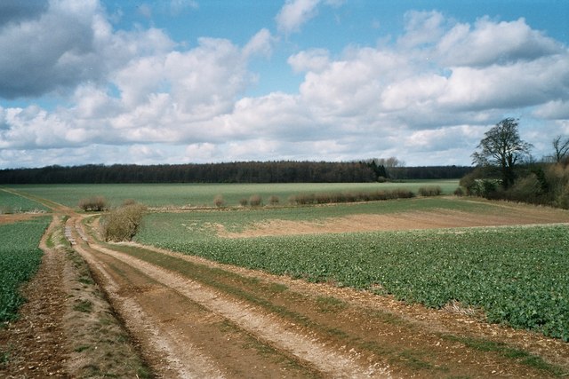
The wood features well-maintained footpaths that meander through the forest, allowing visitors to explore its natural wonders. These paths are suitable for all levels of fitness and offer a delightful opportunity to immerse oneself in the sights and sounds of nature.
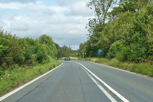
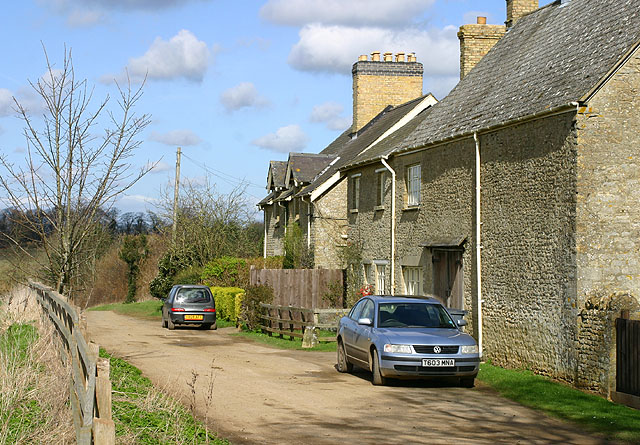
Dog Kennel Wood is easily accessible by road, with ample parking available nearby. It is a popular destination for local dog walkers, who appreciate the wood's tranquil atmosphere and the chance to let their pets roam freely.
Overall, Dog Kennel Wood in Oxfordshire offers a delightful escape from the hustle and bustle of everyday life, providing a peaceful haven for dog owners and nature enthusiasts to enjoy the beauty of the natural world.
If you have any feedback on the listing, please let us know in the comments section below.
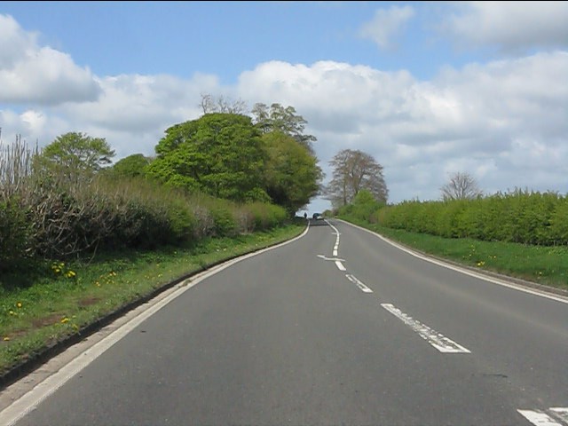
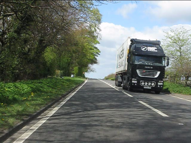
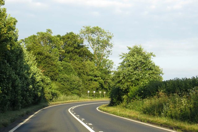
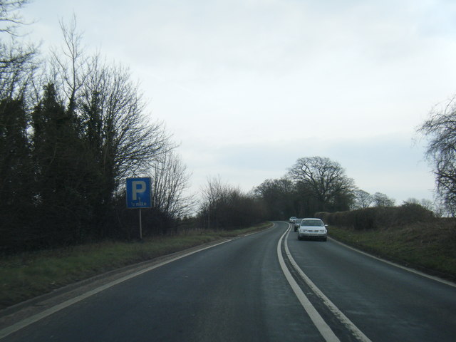
Dog Kennel Wood Images
Images are sourced within 2km of 51.894294/-1.4368257 or Grid Reference SP3821. Thanks to Geograph Open Source API. All images are credited.
Dog Kennel Wood is located at Grid Ref: SP3821 (Lat: 51.894294, Lng: -1.4368257)
Administrative County: Oxfordshire
District: West Oxfordshire
Police Authority: Thames Valley
What 3 Words
///deliver.escape.blacken. Near Charlbury, Oxfordshire
Nearby Locations
Related Wikis

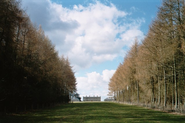
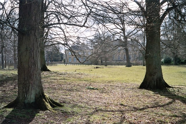
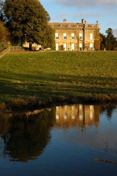
Ditchley Park
Ditchley Park is a country house near Charlbury in Oxfordshire, England. The estate was once the site of a Roman villa. Later it became a royal hunting...

Asterleigh
Asterleigh, sometimes in the past called Esterley, is a farm and deserted medieval village about 3 miles (4.8 km) northeast of Charlbury in Oxfordshire...

Fulwell, Oxfordshire
Fulwell is a hamlet in the civil parish of Enstone in Oxfordshire, England. It lies about 4.5 miles (7 km) southeast of Chipping Norton. Fulwell's toponym...
Pheleley Priory
Pheleley Priory was a small 12th-century Benedictine monastic community located in a detached part of Bloxham, near Charlbury, in the English county of...

Over Kiddington
Over Kiddington is a hamlet in the civil parish of Kiddington with Asterleigh in Oxfordshire, England, about 7 miles (11 km) southeast of Chipping Norton...

Out Wood
Out Wood is a 19.2-hectare (47-acre) biological Site of Special Scientific Interest east of Charlbury in Oxfordshire.This semi-natural wood is a surviving...

Salt Way, Ditchley
Salt Way, Ditchley is a 2-hectare (4.9-acre) biological Site of Special Scientific Interest (SSSI) east of Charlbury in Oxfordshire. It is also a Local...
Kiddington Hall
Kiddington Hall is a large Grade II listed manor house located in Kiddington, near Woodstock, Oxfordshire, England. == History == Kiddington Hall was built...
Nearby Amenities
Located within 500m of 51.894294,-1.4368257Have you been to Dog Kennel Wood?
Leave your review of Dog Kennel Wood below (or comments, questions and feedback).