Pleasure Grounds

Wood, Forest in Oxfordshire West Oxfordshire

England

Pleasure Grounds

Bridleway junction This is a bridleway crossroads.  We are looking towards Ditchley Park, the leg used by Shakespeare's Way, having come in from the left.
Bridleway junction Credit: Graham Horn

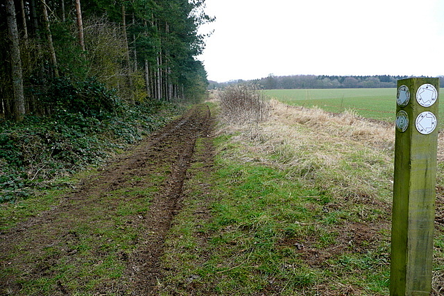
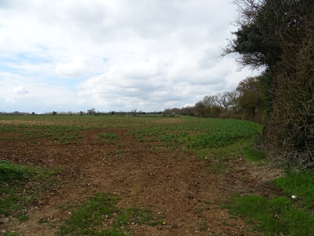
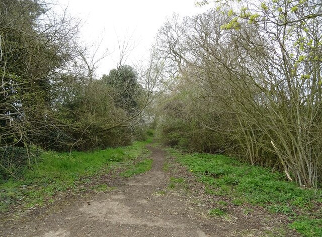
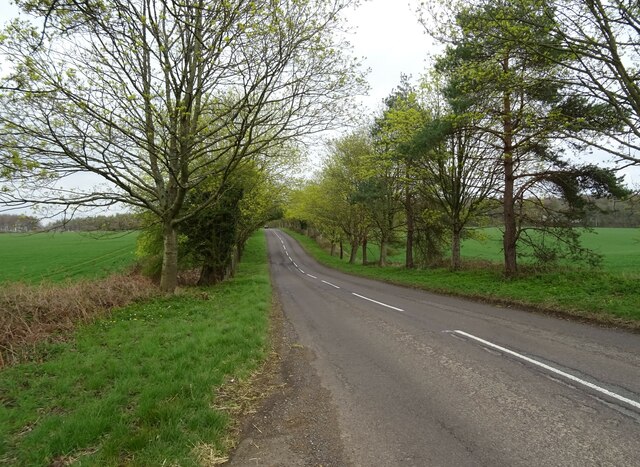
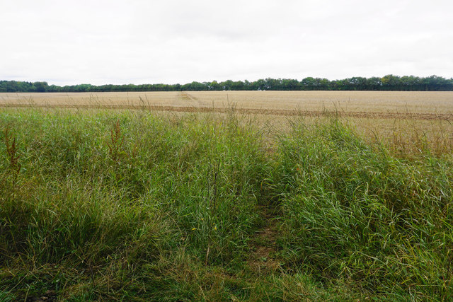
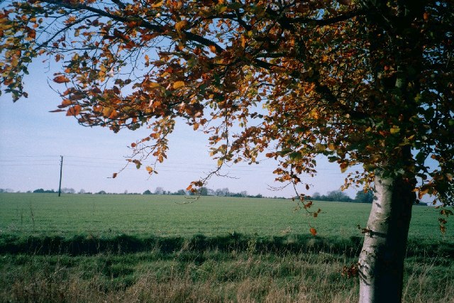
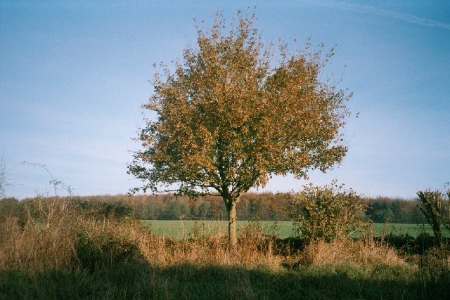
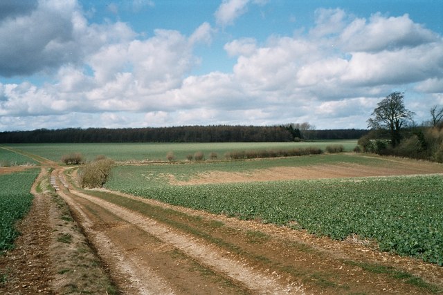
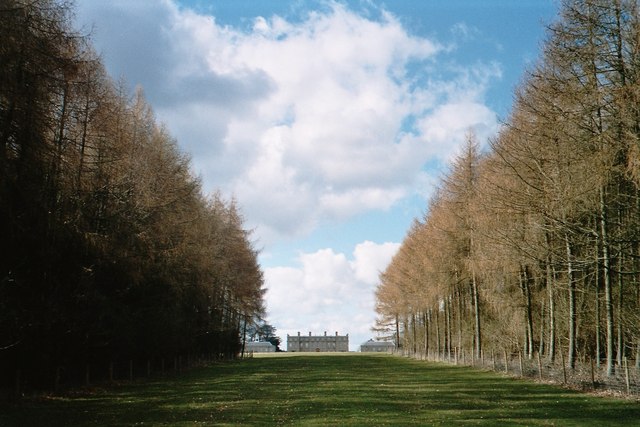
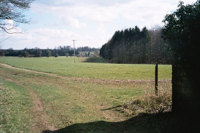
Pleasure Grounds, located in Oxfordshire, England, is a picturesque woodland area renowned for its natural beauty and tranquility. Spanning over a vast expanse, it offers visitors an escape from the hustle and bustle of city life.

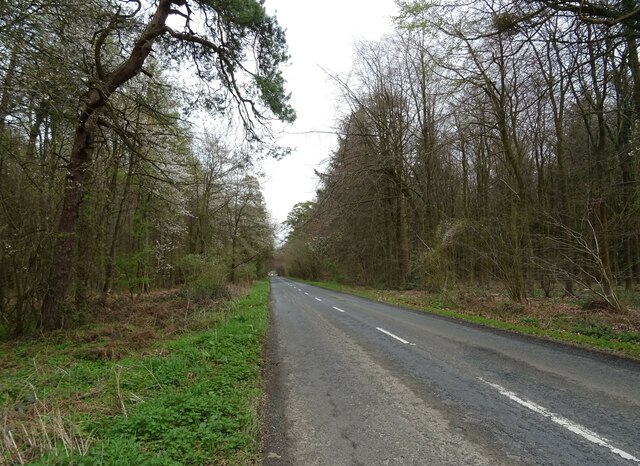
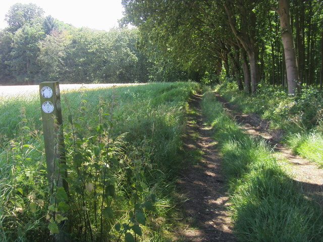
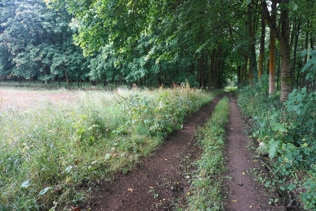
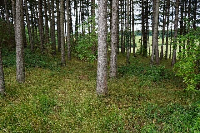
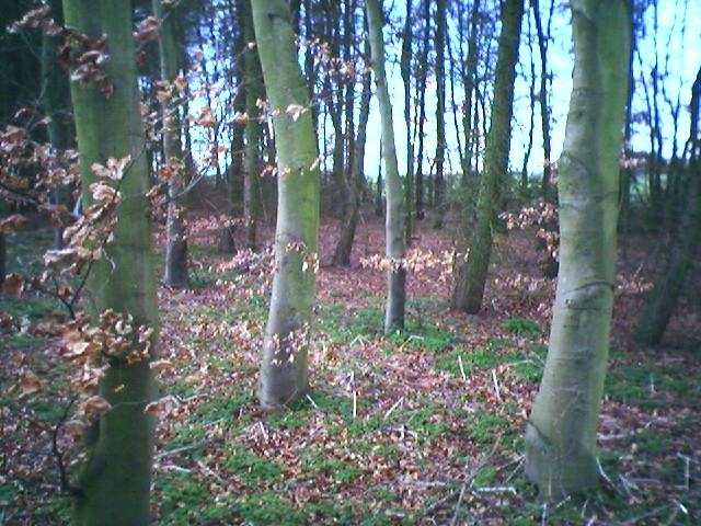
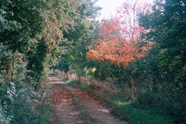
The grounds are characterized by dense forests, with towering trees providing a canopy of shade and shelter. The woodland floor is adorned with a rich tapestry of moss, ferns, and wildflowers, creating a vibrant and enchanting atmosphere. Numerous walking trails wind their way through the woods, allowing visitors to explore the area at their own pace and immerse themselves in the peaceful surroundings.

Wildlife thrives in Pleasure Grounds, with many species calling this woodland their home. Birdsong echoes through the trees, while squirrels playfully dart among the branches, adding to the charm and serenity of the location.

In addition to its natural beauty, Pleasure Grounds offers several recreational activities for visitors to enjoy. Picnic areas are scattered throughout the woods, providing the perfect spot to relax and savor the tranquility. The grounds also feature designated areas for camping and barbecuing, allowing families and friends to spend quality time together in the great outdoors.

Pleasure Grounds is a popular destination for nature enthusiasts, hikers, and families seeking a peaceful retreat. Its idyllic setting, diverse wildlife, and range of recreational activities make it a must-visit location for those seeking solace in the beauty of nature.

If you have any feedback on the listing, please let us know in the comments section below.

Pleasure Grounds Images

Images are sourced within 2km of 51.887751/-1.4393049 or Grid Reference SP3821. Thanks to Geograph Open Source API. All images are credited.

Bridleway junction This is a bridleway crossroads.  We are looking towards Ditchley Park, the leg used by Shakespeare's Way, having come in from the left.
Bridleway junction
This is a bridleway crossroads. We are looking towards Ditchley Park, the leg used by Shakespeare's Way, having come in from the left.
Crop field off the B4437
The Wychwood Way footpath
B4437 heading east
B4437 heading east
Woodland beside the B4437
B4437 beside Sheer's Copse woodland
Shakespeare's Way Shakespeare's Way cuts off to the right to Kingswood Bottom
Shakespeare's Way
Shakespeare's Way cuts off to the right to Kingswood Bottom
Track by a woodland corner The track heads on into the woods in Kingswood Bottom.
Track by a woodland corner
The track heads on into the woods in Kingswood Bottom.
Path across a harvested field Heading towards Over Kiddington, and its line has been preserved quite clearly over the field.
Path across a harvested field
Heading towards Over Kiddington, and its line has been preserved quite clearly over the field.
Band of woodland above Kingswood Bottom The woodland lines the south side of Shakespeare's Way.
Band of woodland above Kingswood Bottom
The woodland lines the south side of Shakespeare's Way.
Pintle Stripe near Charlbury Pintle Stripe is a thin lengthy copse on the Hundley Way track near Charlbury in Oxfordshire.
Pintle Stripe near Charlbury
Pintle Stripe is a thin lengthy copse on the Hundley Way track near Charlbury in Oxfordshire.
Track near Norman's Grove This wide track leads east to a junction with the B4022 <a href="https://www.geograph.org.uk/photo/85424">SP3621 : Unsuitable for motors</a> and south-east towards Stonesfield: <a href="https://www.geograph.org.uk/photo/85434">SP3820 : Tree, track and field</a> is taken about a mile in this direction.
Track near Norman's Grove
This wide track leads east to a junction with the B4022 SP3621 : Unsuitable for motors and south-east towards Stonesfield: SP3820 : Tree, track and field is taken about a mile in this direction.
Tree, track and field This image is taken facing west from the side of a track that runs from the B4022 <a href="https://www.geograph.org.uk/photo/85424">SP3621 : Unsuitable for motors</a>, south-east to <a href="https://www.geograph.org.uk/photo/85427">SP3721 : Track near Norman's Grove</a>, then past an entrance to Ditchley Park, which is a few hundred yards north of this point. It then continues towards Stonesfield. The next image, just south of Dustfield Farm, is <a href="https://www.geograph.org.uk/photo/85436">SP3819 : Tree and Ash Copse</a>.
Tree, track and field
This image is taken facing west from the side of a track that runs from the B4022 SP3621 : Unsuitable for motors, south-east to SP3721 : Track near Norman's Grove, then past an entrance to Ditchley Park, which is a few hundred yards north of this point. It then continues towards Stonesfield. The next image, just south of Dustfield Farm, is SP3819 : Tree and Ash Copse.
Tree and Ash Copse This image is taken facing north-east from a track that runs south-east from the B4022 <a href="https://www.geograph.org.uk/photo/85424">SP3621 : Unsuitable for motors</a> to near Stonesfield: an image a few hundred yards north of this one is at <a href="https://www.geograph.org.uk/photo/85434">SP3820 : Tree, track and field</a>. At this stage, the track runs through large open fields, but is lined with hedgerow and trees such as this one. Ash Copse, which is also within this grid-square, is visible in the background.
Tree and Ash Copse
This image is taken facing north-east from a track that runs south-east from the B4022 SP3621 : Unsuitable for motors to near Stonesfield: an image a few hundred yards north of this one is at SP3820 : Tree, track and field. At this stage, the track runs through large open fields, but is lined with hedgerow and trees such as this one. Ash Copse, which is also within this grid-square, is visible in the background.
Track in Ditchley Park On the horizon is Shilcott Wood. These fields are almost entirely enclosed by woodland on the Ditchley Park estate. The main buildings of Ditchley <a href="https://www.geograph.org.uk/photo/151540">SP3921 : Ditchley</a> are just a few hundred yards east, but hidden by woods and the lie of the land.
Track in Ditchley Park
On the horizon is Shilcott Wood. These fields are almost entirely enclosed by woodland on the Ditchley Park estate. The main buildings of Ditchley SP3921 : Ditchley are just a few hundred yards east, but hidden by woods and the lie of the land.
Avenue of trees leading to Ditchley This half-mile avenue of trees points towards Ditchley <a href="https://www.geograph.org.uk/photo/151540">SP3921 : Ditchley</a>, which is visible on the horizon. The path is part of Shakespeare's Way, officially opened on 19 April 2006, which goes from the Globe theatre in London to the Royal Shakespeare Theatre in Stratford-upon-Avon. More information from its official web-site <span class="nowrap"><a title="http://www.shakespearesway.org/" rel="nofollow ugc noopener" href="http://www.shakespearesway.org/">Link</a><img style="margin-left:2px;" alt="External link" title="External link - shift click to open in new window" src="https://s1.geograph.org.uk/img/external.png" width="10" height="10"/></span> or from this Telegraph article: <span class="nowrap"><a title="http://www.telegraph.co.uk/news/main.jhtml?xml=/news/2006/04/19/nwalk19.xml&sSheet=/news/2006/04/19/ixhome.html" rel="nofollow ugc noopener" href="http://www.telegraph.co.uk/news/main.jhtml?xml=/news/2006/04/19/nwalk19.xml&sSheet=/news/2006/04/19/ixhome.html">Link</a><img style="margin-left:2px;" alt="External link" title="External link - shift click to open in new window" src="https://s1.geograph.org.uk/img/external.png" width="10" height="10"/></span>
Avenue of trees leading to Ditchley
This half-mile avenue of trees points towards Ditchley SP3921 : Ditchley, which is visible on the horizon. The path is part of Shakespeare's Way, officially opened on 19 April 2006, which goes from the Globe theatre in London to the Royal Shakespeare Theatre in Stratford-upon-Avon. More information from its official web-site LinkExternal link or from this Telegraph article: LinkExternal link
Ditchley Work on Ditchley started around 1720, replacing a timber house which had once hosted an entertainment for Queen Elizabeth I in 1592. The current mansion was designed by James Gibb in the Palladian style, and takes up three pages of the Pevsner guide to Oxfordshire. It is home to the Ditchley Foundations <span class="nowrap"><a title="http://www.ditchley.co.uk/" rel="nofollow ugc noopener" href="http://www.ditchley.co.uk/">Link</a><img style="margin-left:2px;" alt="External link" title="External link - shift click to open in new window" src="https://s1.geograph.org.uk/img/external.png" width="10" height="10"/></span> and hosts high-powered conferences on international affairs. At other times, the house is open to bookings for groups of visitors. Rights of way go near, but not right up, to the house. Its grounds, Ditchley Park, are mostly woodland and fields rather than formal gardens, but one exception is the avenue of trees to the south-east: <a href="https://www.geograph.org.uk/photo/151536">SP3920 : Avenue of trees leading to Ditchley</a>
Ditchley
Work on Ditchley started around 1720, replacing a timber house which had once hosted an entertainment for Queen Elizabeth I in 1592. The current mansion was designed by James Gibb in the Palladian style, and takes up three pages of the Pevsner guide to Oxfordshire. It is home to the Ditchley Foundations LinkExternal link and hosts high-powered conferences on international affairs. At other times, the house is open to bookings for groups of visitors. Rights of way go near, but not right up, to the house. Its grounds, Ditchley Park, are mostly woodland and fields rather than formal gardens, but one exception is the avenue of trees to the south-east: SP3920 : Avenue of trees leading to Ditchley
Eastern edge of Deadman's Riding Wood This is taken from a collection of buildings on a path leading eventually to Cleveley. Deadman's Riding Wood is within Ditchley Park.
Eastern edge of Deadman's Riding Wood
This is taken from a collection of buildings on a path leading eventually to Cleveley. Deadman's Riding Wood is within Ditchley Park.
Show me another place!

Pleasure Grounds is located at Grid Ref: SP3821 (Lat: 51.887751, Lng: -1.4393049)

Administrative County: Oxfordshire

District: West Oxfordshire

Police Authority: Thames Valley

What 3 Words

///somebody.park.blackouts. Near Charlbury, Oxfordshire

Related Wikis

Ditchley Park

Ditchley Park is a country house near Charlbury in Oxfordshire, England. The estate was once the site of a Roman villa. Later it became a royal hunting...

Pheleley Priory

Pheleley Priory was a small 12th-century Benedictine monastic community located in a detached part of Bloxham, near Charlbury, in the English county of...

Salt Way, Ditchley

Salt Way, Ditchley is a 2-hectare (4.9-acre) biological Site of Special Scientific Interest (SSSI) east of Charlbury in Oxfordshire. It is also a Local...

Asterleigh

Asterleigh, sometimes in the past called Esterley, is a farm and deserted medieval village about 3 miles (4.8 km) northeast of Charlbury in Oxfordshire...

Out Wood

Out Wood is a 19.2-hectare (47-acre) biological Site of Special Scientific Interest east of Charlbury in Oxfordshire.This semi-natural wood is a surviving...

Fulwell, Oxfordshire

Fulwell is a hamlet in the civil parish of Enstone in Oxfordshire, England. It lies about 4.5 miles (7 km) southeast of Chipping Norton. Fulwell's toponym...

Over Kiddington

Over Kiddington is a hamlet in the civil parish of Kiddington with Asterleigh in Oxfordshire, England, about 7 miles (11 km) southeast of Chipping Norton...

Blenheim Farm

Blenheim Farm is a 1-hectare (2.5-acre) nature reserve near Charlbury in Oxfordshire. It is owned and managed by the Berkshire, Buckinghamshire and Oxfordshire...

Nearby Amenities

Located within 500m of 51.887751,-1.4393049
Barrier: stile
Lat/Long: 51.8856543/-1.4344239
Barrier: stile
Lat/Long: 51.8855748/-1.4341063
Barrier: cattle_grid
Lat/Long: 51.8904209/-1.4339811
Barrier: cattle_grid
Lat/Long: 51.8895043/-1.4332538
The data included in this document is from www.openstreetmap.org. The data is made available under ODbL.

Have you been to Pleasure Grounds?

Leave your review of Pleasure Grounds below (or comments, questions and feedback).