Stretton Plantation

Wood, Forest in Derbyshire North East Derbyshire

England

Stretton Plantation

Cattle on the side of South Hill Looking up to the southern end of the South Hill ridge.
Cattle on the side of South Hill Credit: Bill Boaden

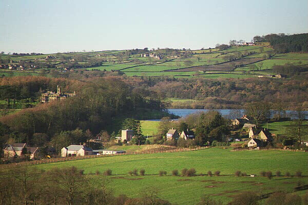
Stretton Plantation is a picturesque woodland located in Derbyshire, England. Nestled in the heart of the county, the plantation covers a vast area of approximately 500 acres. It is renowned for its natural beauty, dense tree cover, and diverse wildlife.

The woodland consists primarily of deciduous trees, including oak, ash, beech, and birch, which create a stunning canopy that changes with the seasons. During spring, the plantation is awash with a vibrant display of bluebells and other wildflowers, making it a popular spot for nature enthusiasts and photographers.

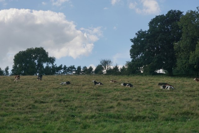
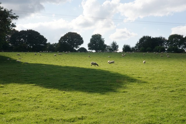
Stretton Plantation is a haven for wildlife, providing a sanctuary for numerous species. It is home to a variety of birds, such as woodpeckers, owls, and thrushes, which fill the air with their melodic songs. Additionally, deer, foxes, and rabbits can often be spotted roaming the woodland, adding to its charm.

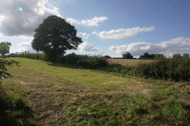
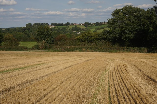
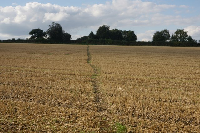
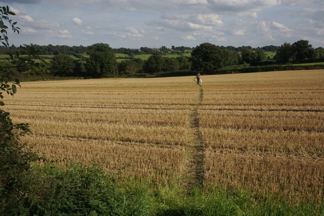
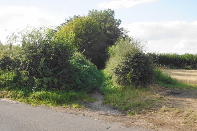
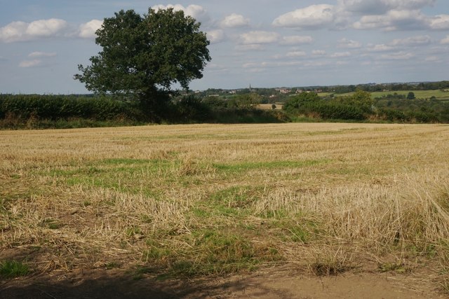
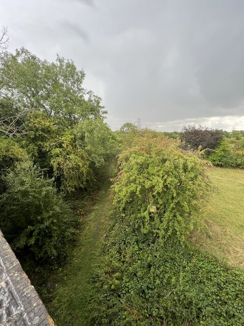
The plantation offers a network of well-maintained trails, making it an ideal destination for walkers and hikers. These paths wind through the woodland, allowing visitors to explore its hidden nooks and crannies. Along the way, benches and picnic areas provide opportunities for rest and relaxation, while also offering breathtaking views of the surrounding countryside.

Stretton Plantation is a popular destination for both locals and tourists alike, who flock to the woodland to immerse themselves in its tranquil atmosphere and natural splendor. Whether it be for a leisurely stroll, birdwatching, or simply enjoying a peaceful retreat in nature, this enchanting woodland offers something for everyone.

If you have any feedback on the listing, please let us know in the comments section below.

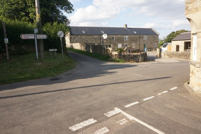
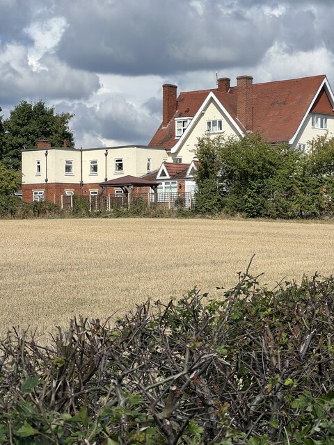
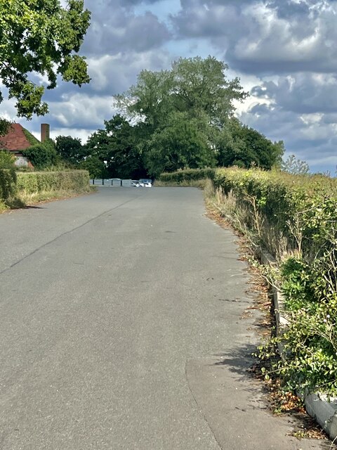
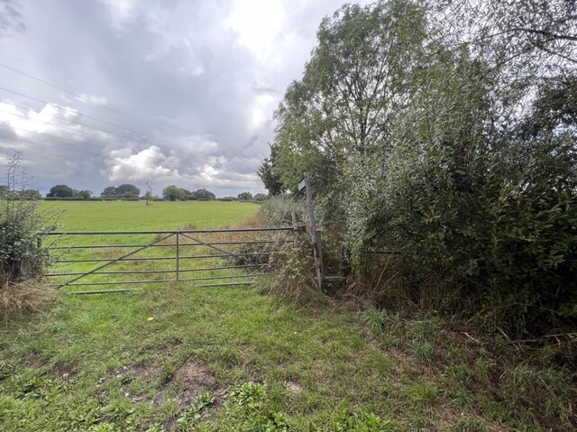
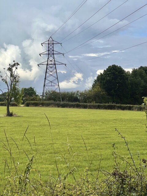
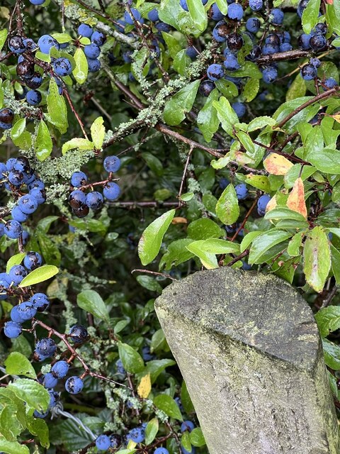
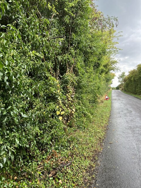
Stretton Plantation Images

Images are sourced within 2km of 53.140127/-1.4230815 or Grid Reference SK3860. Thanks to Geograph Open Source API. All images are credited.

Cattle on the side of South Hill Looking up to the southern end of the South Hill ridge.
Cattle on the side of South Hill
Looking up to the southern end of the South Hill ridge.
Footpath to Mickley Estate Houses lining the A61 can be seen on the far hill. In between is the valley of Smithy Brook.
Footpath to Mickley Estate
Houses lining the A61 can be seen on the far hill. In between is the valley of Smithy Brook.
Field of sheep on South Hill The eastern side of the South Hill ridge.
Field of sheep on South Hill
The eastern side of the South Hill ridge.
Footpath on South Hill The footpath originally cut off this corner of the field and is still marked as such on the OS map. However that part of the path no longer exists and you have to use the field entrance where I am standing.
Footpath on South Hill
The footpath originally cut off this corner of the field and is still marked as such on the OS map. However that part of the path no longer exists and you have to use the field entrance where I am standing.
Harvested field on South Hill Stretton is seen on the far hill, on the other side of the valley of Smithy Brook.
Harvested field on South Hill
Stretton is seen on the far hill, on the other side of the valley of Smithy Brook.
Footpath towards Handley Crossing a harvested field at the northern end of South Hill.
Footpath towards Handley
Crossing a harvested field at the northern end of South Hill.
Footpath on South Hill The South Hill ridge continues further up to the right. On the far hill are some houses at Mickley on the A61.
Footpath on South Hill
The South Hill ridge continues further up to the right. On the far hill are some houses at Mickley on the A61.
Bridleway to Handley This route appears on older OS maps as a yellow road. It has clearly fallen into disrepair and is not maintained.
Bridleway to Handley
This route appears on older OS maps as a yellow road. It has clearly fallen into disrepair and is not maintained.
Harvested field on Smithy Moor In the far centre is the spire of St Bartholomew's Church in Clay Cross.
Harvested field on Smithy Moor
In the far centre is the spire of St Bartholomew's Church in Clay Cross.
Crossroads at Handley Handley is a very small hamlet on a ridge between Clay Cross and Ashover.
Crossroads at Handley
Handley is a very small hamlet on a ridge between Clay Cross and Ashover.
Morton Grange A former local hospital. Now a nursing home.
Morton Grange
A former local hospital. Now a nursing home.
Averhill lane One of two lanes up to Averhill Farm.
Averhill lane
One of two lanes up to Averhill Farm.
Village information board There are several notices, seats and bus stop just here.
Village information board
There are several notices, seats and bus stop just here.
Footpath and gateway Public footpath towards Mickley.
Footpath and gateway
Public footpath towards Mickley.
Power line The main electric power line heading towards Chesterfield.
Power line
The main electric power line heading towards Chesterfield.
Hedgerow Berries Purple Sloe berries in the hedge row.
Hedgerow Berries
Purple Sloe berries in the hedge row.
Overgrown hedge A variety of different bushes in the hedge approaching the old railway bridge.
Overgrown hedge
A variety of different bushes in the hedge approaching the old railway bridge.
Old trackbed Looking north west onto the old trackbed.
Old trackbed
Looking north west onto the old trackbed.
Show me another place!

Stretton Plantation is located at Grid Ref: SK3860 (Lat: 53.140127, Lng: -1.4230815)

Administrative County: Derbyshire

District: North East Derbyshire

Police Authority: Derbyshire

What 3 Words

///punters.domain.requests. Near Shirland, Derbyshire

Nearby Locations

Stretton Plantation

Related Wikis

Stretton railway station

Stretton railway station was a railway station at Stretton, Derbyshire, England built by the North Midland Railway. == History == Stretton station was...

Stretton, Derbyshire

Stretton is a small village and civil parish in Derbyshire, England. The population of the civil parish as at the 2011 Census was 525. It is located near...

Ogston Reservoir

Ogston Reservoir is a reservoir operated by Severn Trent Water in Derbyshire. It is near the villages of Brackenfield and Ashover and the town of Clay...

Hurst Lane railway station

Hurst Lane railway station served the hamlet of Ogston, North East Derbyshire, England, from 1925 to 1936 on the Ashover Light Railway. == History == The...

Ogston Hall

Ogston Hall is a privately owned 18th-century country house situated at Brackenfield, near Alfreton, Derbyshire. It is a Grade II* listed building. A building...

Higham, Derbyshire

Higham is a small village in Derbyshire, England. It is on the B6013 and A61 roads. Nearby settlements include Shirland, Stretton, Alfreton and Clay Cross...

Woolley railway station

Woolley railway station was a small station on the Ashover Light Railway and it served the small village of Woolley Moor in North East Derbyshire, England...

Ashover Light Railway

The Ashover Light Railway was a 1 ft 11+1⁄2 in (597 mm) narrow gauge railway in Derbyshire, England that connected Clay Cross and Ashover. It was built...

Nearby Amenities

Located within 500m of 53.140127,-1.4230815
Barrier: stile
Lat/Long: 53.1394152/-1.4179747
Barrier: stile
Lat/Long: 53.1394718/-1.4218457
Barrier: stile
Lat/Long: 53.1394537/-1.4232509
Barrier: stile
Lat/Long: 53.1380924/-1.4251155
Barrier: stile
Lat/Long: 53.1402511/-1.426755
Barrier: stile
Lat/Long: 53.1402511/-1.4288493
Ele: 144
Lat/Long: 53.1386268/-1.4161173
Bus Stop
Hawthorne Avenue
Bench: no
Bus: yes
Public Transport: platform
Shelter: yes
Lat/Long: 53.1364903/-1.4188375
Ele: 153
Lat/Long: 53.1392287/-1.4176887
Ele: 155.1372070
Lat/Long: 53.1392271/-1.4175706
Stretton Hillside
Place: locality
Lat/Long: 53.1390605/-1.4195323
Shop: eggs
Lat/Long: 53.1379346/-1.418537
Power: pole
Lat/Long: 53.1414838/-1.417695
Power: pole
Lat/Long: 53.1415305/-1.4177781
Power: pole
Lat/Long: 53.1410671/-1.418497
Power: pole
Lat/Long: 53.140652/-1.4192721
Power: pole
Lat/Long: 53.1402594/-1.4199668
Power: pole
Lat/Long: 53.1398459/-1.420691
Power: pole
Lat/Long: 53.13922/-1.4212972
Power: pole
Lat/Long: 53.1386311/-1.4218336
Power: pole
Lat/Long: 53.1379328/-1.4224774
Power: pole
Lat/Long: 53.1372538/-1.4230809
Power: pole
Lat/Long: 53.1364654/-1.4238212
Power: pole
Lat/Long: 53.135862/-1.4243656
Bus Stop
Mickley Lane
Bus: yes
Naptan AtcoCode: 1000DMMR2890
Naptan NaptanCode: dbsatwtg
Public Transport: platform
Lat/Long: 53.1390849/-1.4177493
Bus Stop
Mickley Lane
Bus: yes
Public Transport: platform
Lat/Long: 53.1395817/-1.4177969
The data included in this document is from www.openstreetmap.org. The data is made available under ODbL.

Have you been to Stretton Plantation?

Leave your review of Stretton Plantation below (or comments, questions and feedback).