Ash Copse
Wood, Forest in Oxfordshire West Oxfordshire
England
Ash Copse
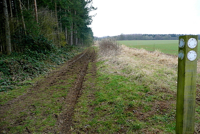
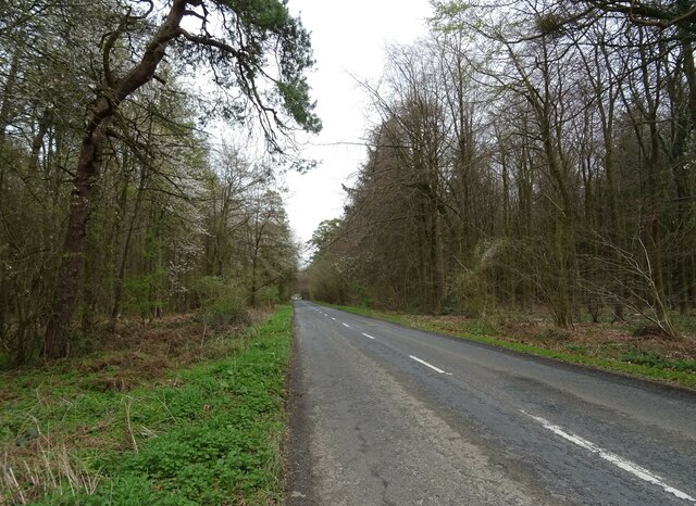
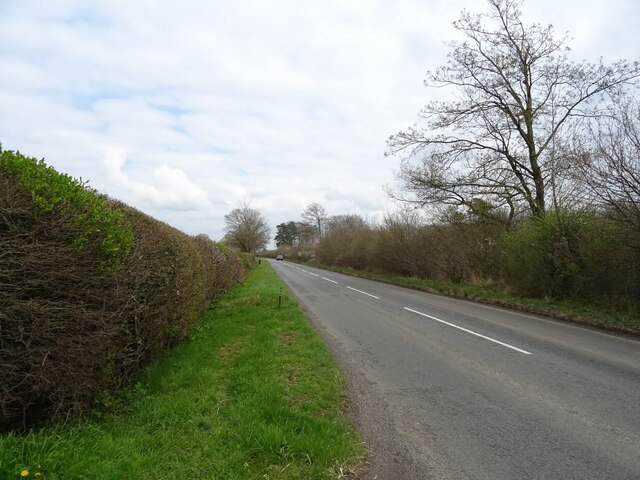
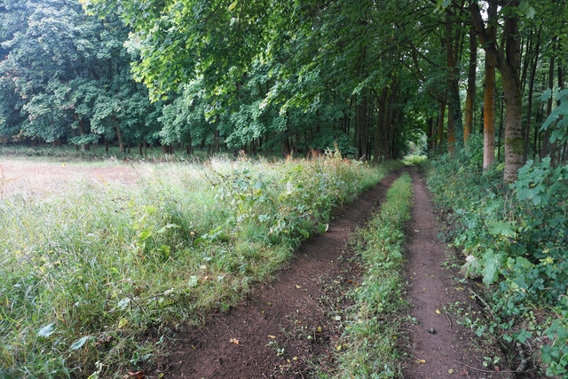
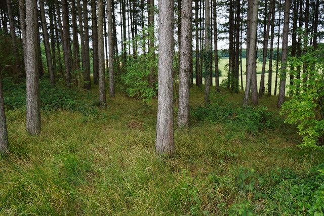
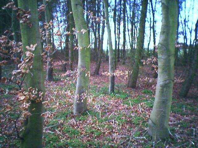
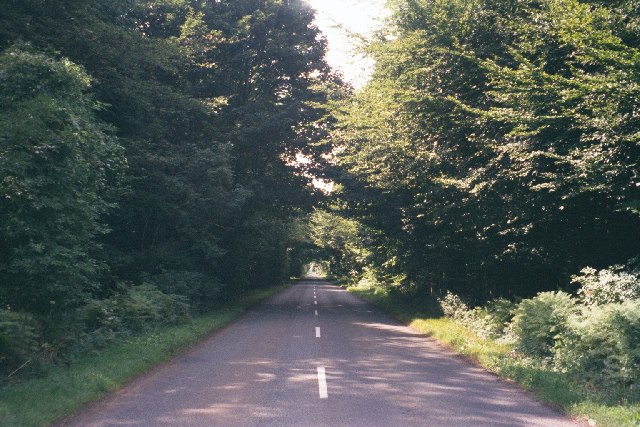
Ash Copse is a small woodland located in the county of Oxfordshire, England. Situated near the village of Ashbury, it covers an area of approximately 20 hectares. The woodland is primarily composed of ash trees, giving it its name, although there are also other tree species such as oak and beech present.
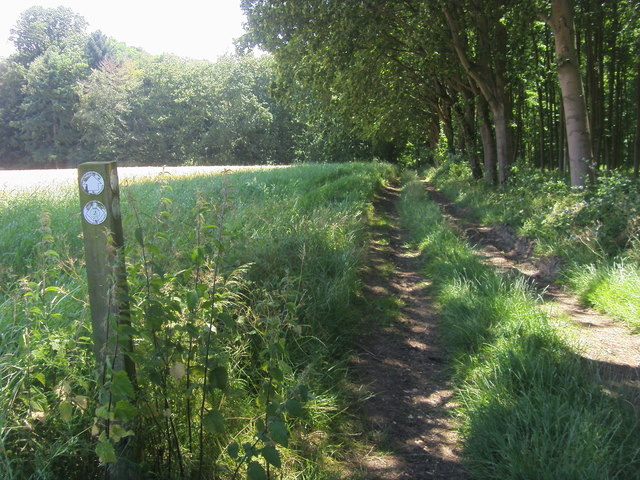
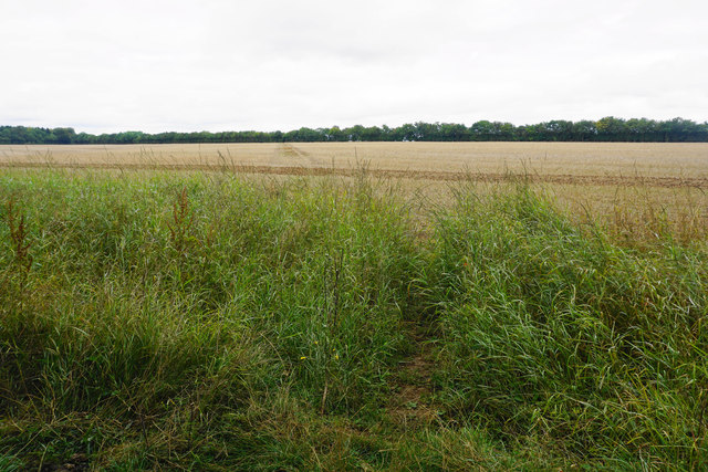
Ash Copse is known for its dense vegetation and rich biodiversity. The woodland floor is covered in a thick layer of leaf litter, providing a habitat for a variety of plants and fungi. Bluebells, wood anemones, and wild garlic are just a few examples of the flora that can be found in the copse during springtime.
The woodland is home to a diverse range of wildlife, including many species of birds such as woodpeckers, owls, and various songbirds. Mammals such as foxes, badgers, and bats can also be spotted within the copse. Additionally, the presence of a small stream running through Ash Copse adds to its ecological value, supporting a range of aquatic species.
Ash Copse is a popular destination for nature enthusiasts and walkers, offering a tranquil and picturesque setting. There are several footpaths and trails that wind through the woodland, allowing visitors to explore its beauty and observe the wildlife. The copse is also an important site for conservation, with efforts made to maintain its natural integrity and protect its habitats and species.
If you have any feedback on the listing, please let us know in the comments section below.
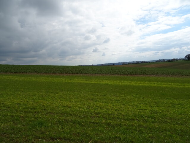
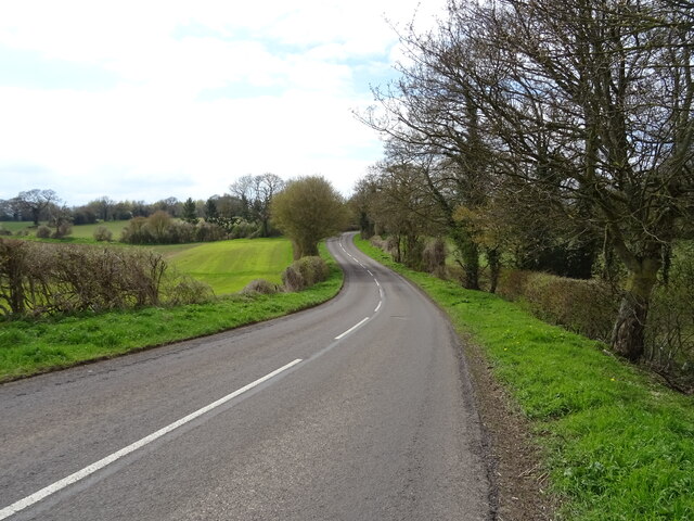
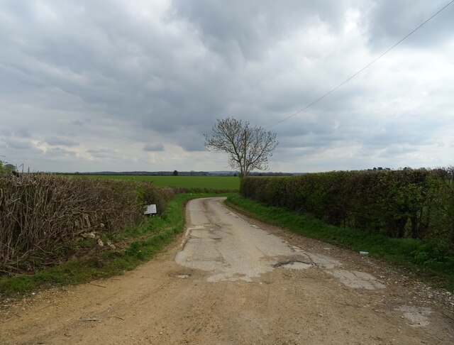
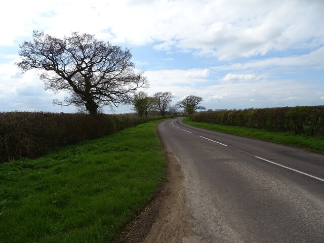
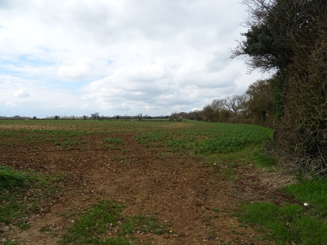
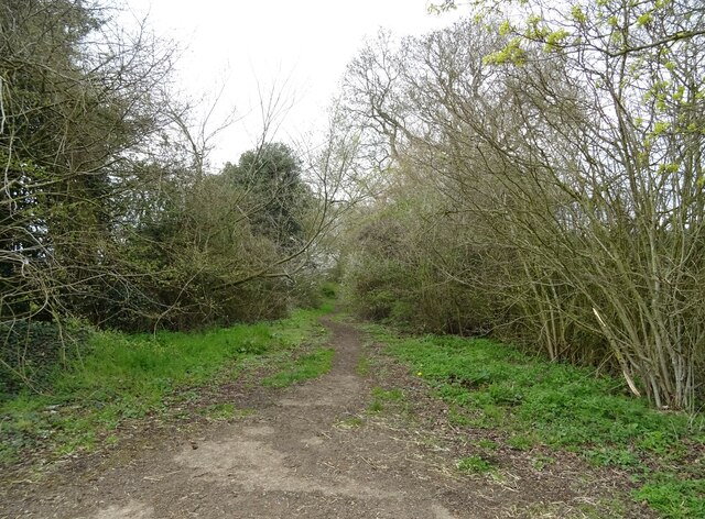
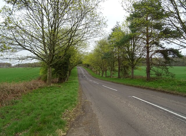
Ash Copse Images
Images are sourced within 2km of 51.87531/-1.4379198 or Grid Reference SP3819. Thanks to Geograph Open Source API. All images are credited.

Ash Copse is located at Grid Ref: SP3819 (Lat: 51.87531, Lng: -1.4379198)
Administrative County: Oxfordshire
District: West Oxfordshire
Police Authority: Thames Valley
What 3 Words
///haven.variously.motive. Near Stonesfield, Oxfordshire
Nearby Locations
Related Wikis

Salt Way, Ditchley
Salt Way, Ditchley is a 2-hectare (4.9-acre) biological Site of Special Scientific Interest (SSSI) east of Charlbury in Oxfordshire. It is also a Local...

Pheleley Priory
Pheleley Priory was a small 12th-century Benedictine monastic community located in a detached part of Bloxham, near Charlbury, in the English county of...

Ditchley Park
Ditchley Park is a country house near Charlbury in Oxfordshire, England. The estate was once the site of a Roman villa. Later it became a royal hunting...

Out Wood
Out Wood is a 19.2-hectare (47-acre) biological Site of Special Scientific Interest east of Charlbury in Oxfordshire.This semi-natural wood is a surviving...
Cornbury and Wychwood
Cornbury and Wychwood is a civil parish in West Oxfordshire. It includes the country estate of Cornbury Park (Ordnance Survey grid reference SP350181)...

Blenheim Farm
Blenheim Farm is a 1-hectare (2.5-acre) nature reserve near Charlbury in Oxfordshire. It is owned and managed by the Berkshire, Buckinghamshire and Oxfordshire...

Stonesfield
Stonesfield is a village and civil parish about 5 miles (8 km) north of Witney in Oxfordshire, and about 10 miles (17 km) north-west of Oxford. The village...
Asterleigh
Asterleigh, sometimes in the past called Esterley, is a farm and deserted medieval village about 3 miles (4.8 km) northeast of Charlbury in Oxfordshire...
Nearby Amenities
Located within 500m of 51.87531,-1.4379198Have you been to Ash Copse?
Leave your review of Ash Copse below (or comments, questions and feedback).