Bottom Wood
Wood, Forest in Oxfordshire West Oxfordshire
England
Bottom Wood
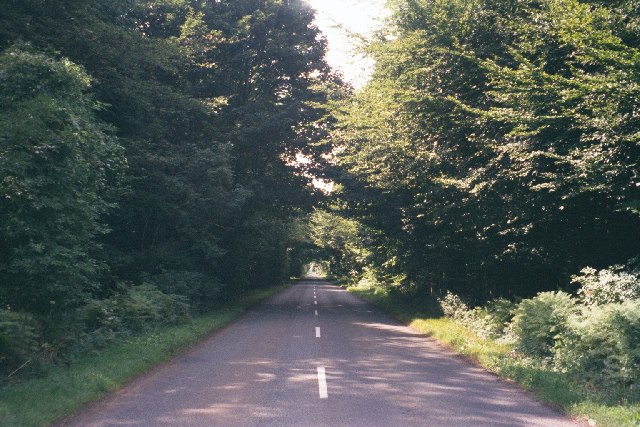
Bottom Wood is a picturesque forest located in Oxfordshire, England. Spanning over a vast area, it is renowned for its natural beauty and diverse ecosystem. The wood is situated near the village of Wood, providing a tranquil escape from the bustling city life.
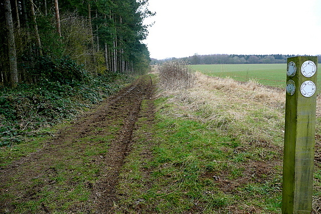
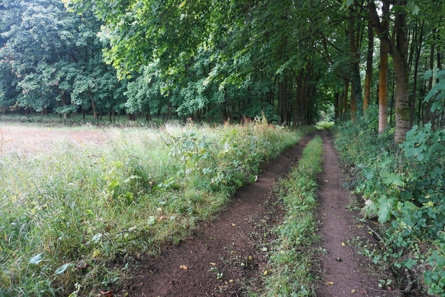
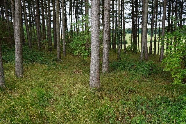
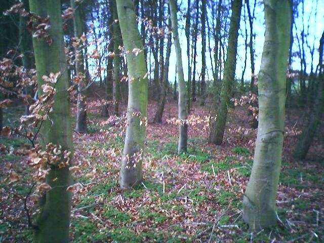
The dense woodland is primarily composed of broad-leaved trees, including oak, beech, and ash, which create a lush canopy above. These trees provide a haven for numerous species of wildlife, such as deer, foxes, squirrels, and a wide variety of birds. Bottom Wood is particularly famous for its vibrant bird population, attracting birdwatchers throughout the year.
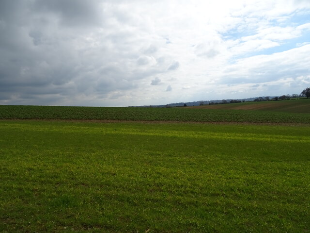
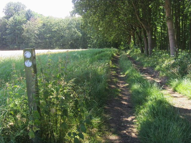
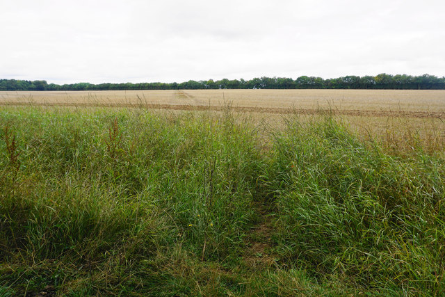
The forest floor is adorned with a rich carpet of wildflowers, ferns, and mosses, adding to the enchanting atmosphere. Meandering pathways wind through the wood, allowing visitors to explore and immerse themselves in the serene surroundings.
Bottom Wood also offers recreational activities for nature enthusiasts. The forest features several well-maintained trails, perfect for walking, jogging, or cycling. It also boasts picnic areas, providing the ideal spot for families and friends to relax and enjoy a meal amidst nature's tranquility.
The wood is a popular destination for both locals and tourists, drawing visitors who seek solace in its peaceful ambiance. Its accessibility and proximity to Wood village contribute to its popularity, making it an integral part of the local community.
In conclusion, Bottom Wood in Oxfordshire is a stunning forest that showcases the beauty of nature. With its diverse flora and fauna, well-maintained trails, and serene atmosphere, it offers a peaceful retreat for anyone seeking a break from city life.
If you have any feedback on the listing, please let us know in the comments section below.
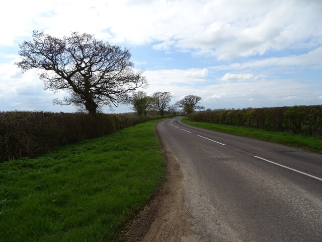
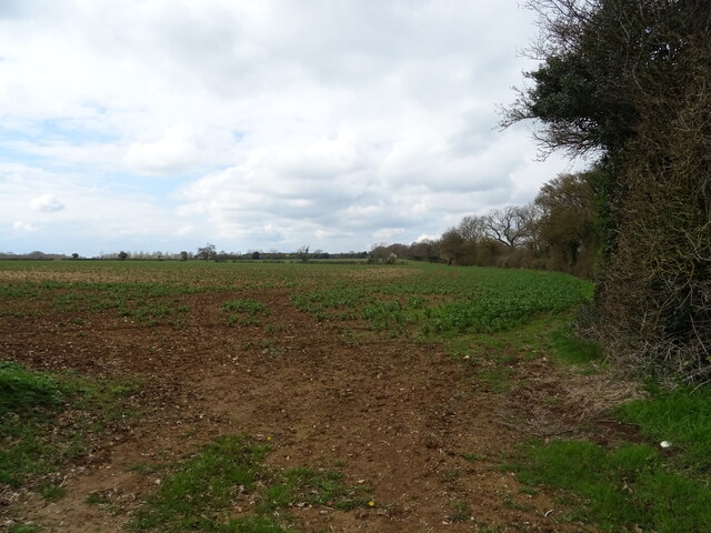
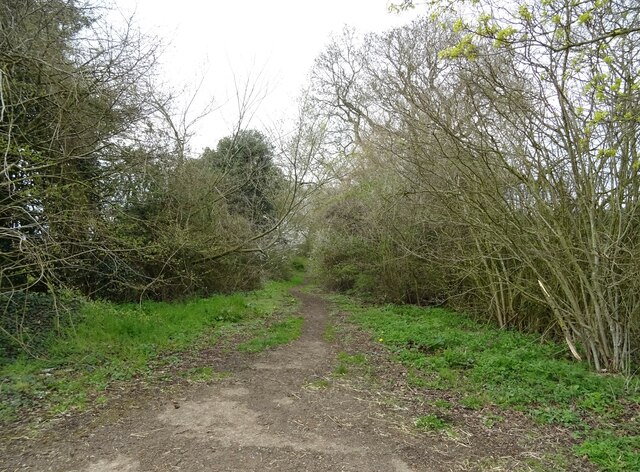
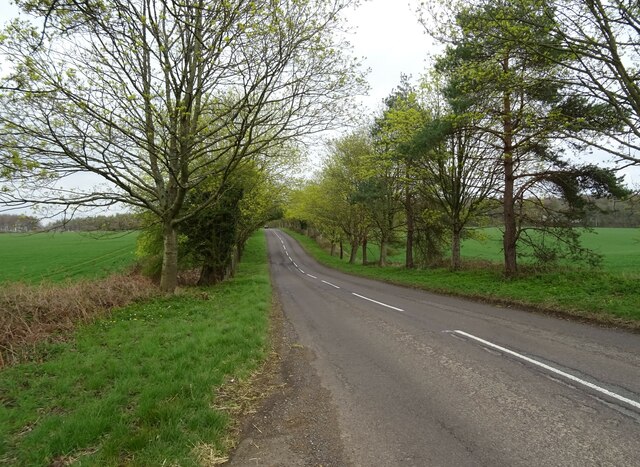
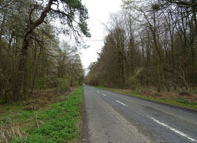
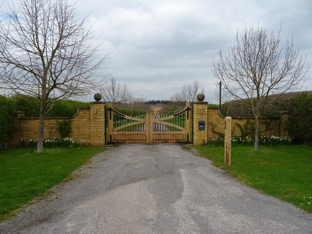
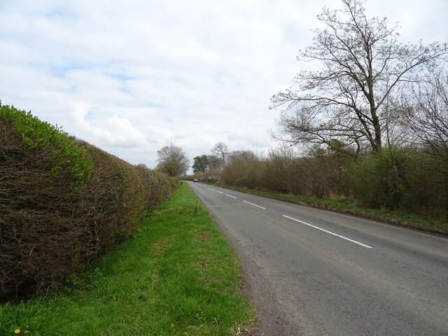
Bottom Wood Images
Images are sourced within 2km of 51.879194/-1.437944 or Grid Reference SP3820. Thanks to Geograph Open Source API. All images are credited.

Bottom Wood is located at Grid Ref: SP3820 (Lat: 51.879194, Lng: -1.437944)
Administrative County: Oxfordshire
District: West Oxfordshire
Police Authority: Thames Valley
What 3 Words
///suiting.custard.films. Near Charlbury, Oxfordshire
Nearby Locations
Related Wikis

Pheleley Priory
Pheleley Priory was a small 12th-century Benedictine monastic community located in a detached part of Bloxham, near Charlbury, in the English county of...

Salt Way, Ditchley
Salt Way, Ditchley is a 2-hectare (4.9-acre) biological Site of Special Scientific Interest (SSSI) east of Charlbury in Oxfordshire. It is also a Local...

Ditchley Park
Ditchley Park is a country house near Charlbury in Oxfordshire, England. The estate was once the site of a Roman villa. Later it became a royal hunting...

Out Wood
Out Wood is a 19.2-hectare (47-acre) biological Site of Special Scientific Interest east of Charlbury in Oxfordshire.This semi-natural wood is a surviving...
Asterleigh
Asterleigh, sometimes in the past called Esterley, is a farm and deserted medieval village about 3 miles (4.8 km) northeast of Charlbury in Oxfordshire...

Blenheim Farm
Blenheim Farm is a 1-hectare (2.5-acre) nature reserve near Charlbury in Oxfordshire. It is owned and managed by the Berkshire, Buckinghamshire and Oxfordshire...
Cornbury and Wychwood
Cornbury and Wychwood is a civil parish in West Oxfordshire. It includes the country estate of Cornbury Park (Ordnance Survey grid reference SP350181)...

Fulwell, Oxfordshire
Fulwell is a hamlet in the civil parish of Enstone in Oxfordshire, England. It lies about 4.5 miles (7 km) southeast of Chipping Norton. Fulwell's toponym...
Have you been to Bottom Wood?
Leave your review of Bottom Wood below (or comments, questions and feedback).