Little Park Plantation

Wood, Forest in Oxfordshire West Oxfordshire

England

Little Park Plantation

Bridleway junction This is a bridleway crossroads.  We are looking towards Ditchley Park, the leg used by Shakespeare's Way, having come in from the left.
Bridleway junction Credit: Graham Horn

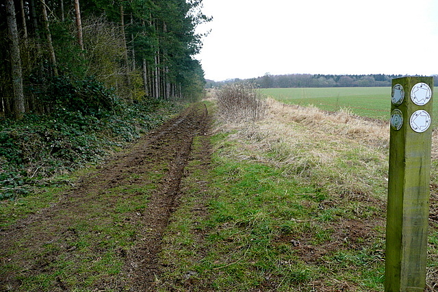
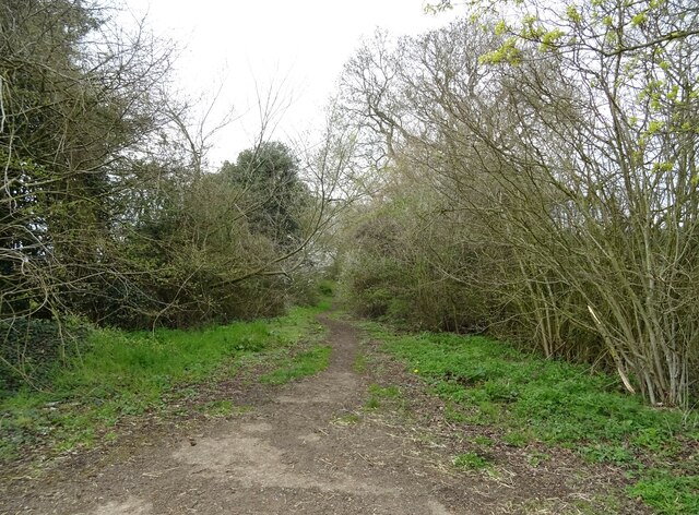
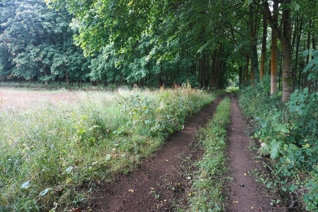
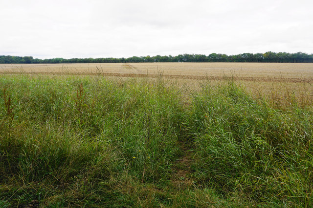
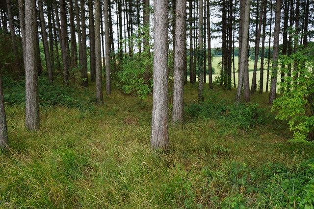
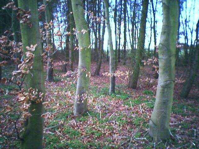
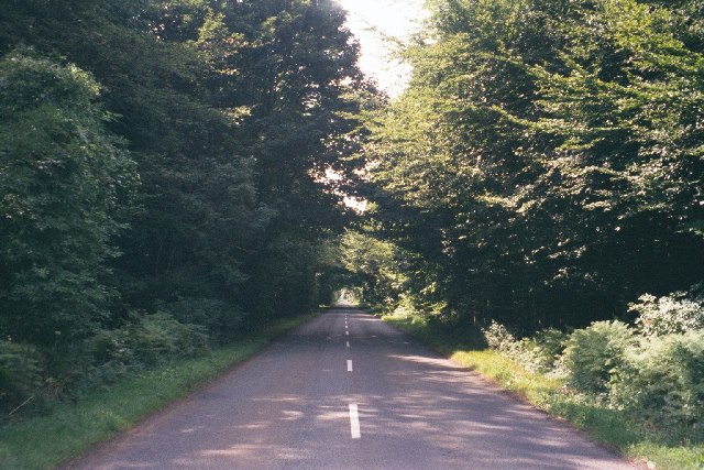
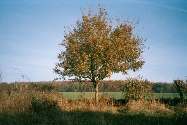
Little Park Plantation is a charming woodland area located in Oxfordshire, England. Situated in the heart of the county, this enchanting forest is a haven for nature enthusiasts and those seeking tranquility amidst lush greenery. Spanning across a sprawling area, the plantation is predominantly covered with a variety of magnificent trees, including oak, beech, and pine.

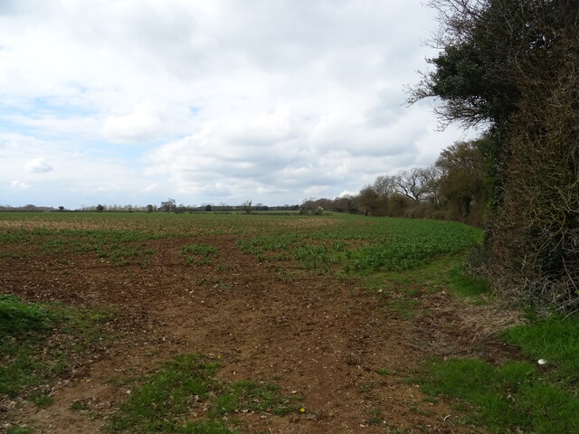
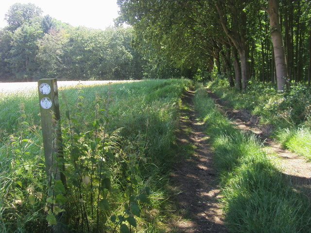
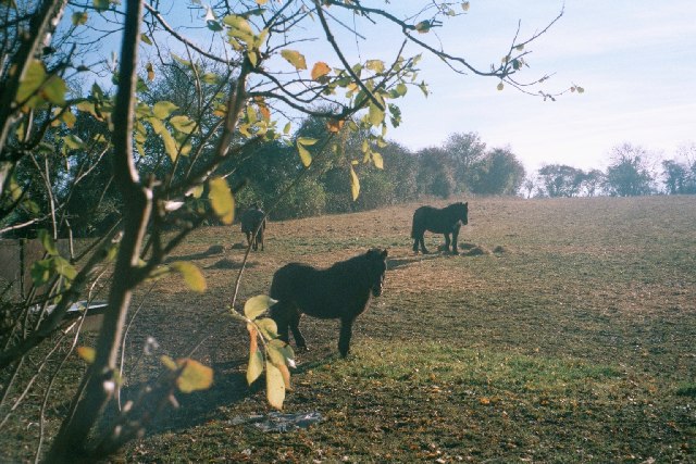
The plantation is home to a diverse range of flora and fauna, providing a habitat for numerous species of birds, insects, and small mammals. The dense foliage and towering trees create a serene and secluded atmosphere, making it an ideal spot for hiking, birdwatching, and nature photography.

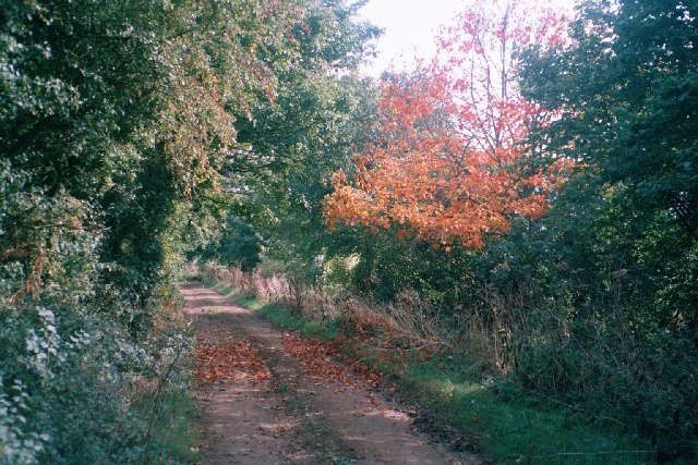
Visitors to Little Park Plantation can explore the well-maintained trails that wind through the forest, offering glimpses of hidden ponds, babbling brooks, and beautiful wildflowers. The plantation also features picnic areas and benches, allowing visitors to take a break and immerse themselves in the peaceful surroundings.

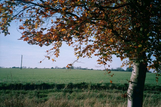
Throughout the year, the forest showcases the changing seasons, with vibrant autumnal colors, a carpet of bluebells in spring, and a canopy of lush green leaves in the summer. The plantation's beauty is further accentuated during the winter months, when a light dusting of snow transforms the forest into a picturesque winter wonderland.

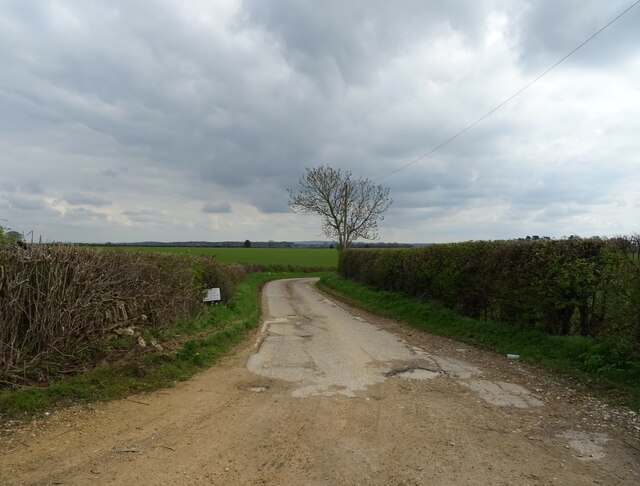
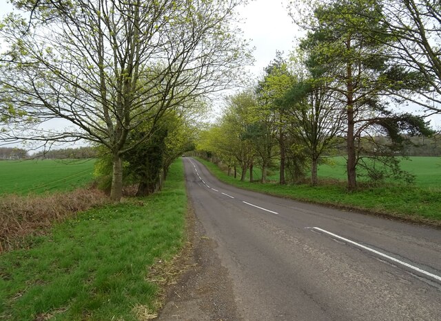
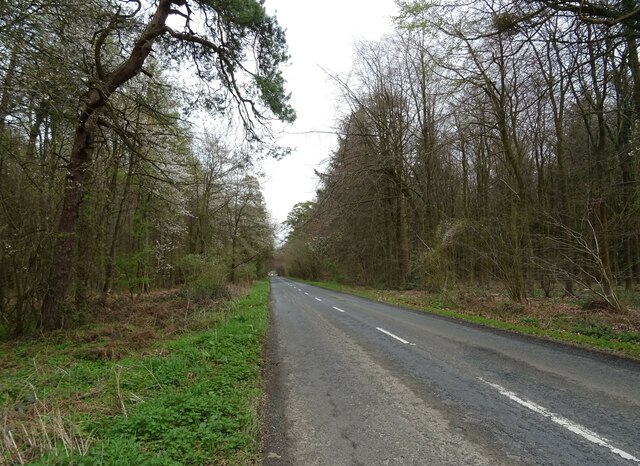
Little Park Plantation is easily accessible, with ample parking facilities and well-marked entrances. It attracts visitors of all ages, from families seeking a day out in nature to avid hikers and photographers. With its diverse range of flora and fauna, tranquil ambiance, and picturesque landscapes, Little Park Plantation offers a memorable experience for anyone seeking solace in the embrace of nature.

If you have any feedback on the listing, please let us know in the comments section below.

Little Park Plantation Images

Images are sourced within 2km of 51.884613/-1.4411019 or Grid Reference SP3820. Thanks to Geograph Open Source API. All images are credited.

Bridleway junction This is a bridleway crossroads.  We are looking towards Ditchley Park, the leg used by Shakespeare's Way, having come in from the left.
Bridleway junction
This is a bridleway crossroads. We are looking towards Ditchley Park, the leg used by Shakespeare's Way, having come in from the left.
Track (footpath) to Hill Barn Farm
B4437 towards Charlbury
Crop field off the B4437
The Wychwood Way footpath
B4437 heading east
B4437 heading east
Woodland beside the B4437
B4437 beside Sheer's Copse woodland
Shakespeare's Way Shakespeare's Way cuts off to the right to Kingswood Bottom
Shakespeare's Way
Shakespeare's Way cuts off to the right to Kingswood Bottom
Track by a woodland corner The track heads on into the woods in Kingswood Bottom.
Track by a woodland corner
The track heads on into the woods in Kingswood Bottom.
Path across a harvested field Heading towards Over Kiddington, and its line has been preserved quite clearly over the field.
Path across a harvested field
Heading towards Over Kiddington, and its line has been preserved quite clearly over the field.
Band of woodland above Kingswood Bottom The woodland lines the south side of Shakespeare's Way.
Band of woodland above Kingswood Bottom
The woodland lines the south side of Shakespeare's Way.
Pintle Stripe near Charlbury Pintle Stripe is a thin lengthy copse on the Hundley Way track near Charlbury in Oxfordshire.
Pintle Stripe near Charlbury
Pintle Stripe is a thin lengthy copse on the Hundley Way track near Charlbury in Oxfordshire.
B4437 through Sheer's Copse A rare straight stretch on this road, through a thick patch of woodland. <a href="https://www.geograph.org.uk/photo/43800">SP3118 : B4437 near Ascott-under-Wychwood</a> is the same road, five miles to the west.
B4437 through Sheer's Copse
A rare straight stretch on this road, through a thick patch of woodland. SP3118 : B4437 near Ascott-under-Wychwood is the same road, five miles to the west.
Paddock near Charlbury This small paddock is surrounded by much larger open fields. It is on a path from Charlbury to Dustfield Farm.
Paddock near Charlbury
This small paddock is surrounded by much larger open fields. It is on a path from Charlbury to Dustfield Farm.
Track near Norman's Grove This wide track leads east to a junction with the B4022 <a href="https://www.geograph.org.uk/photo/85424">SP3621 : Unsuitable for motors</a> and south-east towards Stonesfield: <a href="https://www.geograph.org.uk/photo/85434">SP3820 : Tree, track and field</a> is taken about a mile in this direction.
Track near Norman's Grove
This wide track leads east to a junction with the B4022 SP3621 : Unsuitable for motors and south-east towards Stonesfield: SP3820 : Tree, track and field is taken about a mile in this direction.
Tree, track and field This image is taken facing west from the side of a track that runs from the B4022 <a href="https://www.geograph.org.uk/photo/85424">SP3621 : Unsuitable for motors</a>, south-east to <a href="https://www.geograph.org.uk/photo/85427">SP3721 : Track near Norman's Grove</a>, then past an entrance to Ditchley Park, which is a few hundred yards north of this point. It then continues towards Stonesfield. The next image, just south of Dustfield Farm, is <a href="https://www.geograph.org.uk/photo/85436">SP3819 : Tree and Ash Copse</a>.
Tree, track and field
This image is taken facing west from the side of a track that runs from the B4022 SP3621 : Unsuitable for motors, south-east to SP3721 : Track near Norman's Grove, then past an entrance to Ditchley Park, which is a few hundred yards north of this point. It then continues towards Stonesfield. The next image, just south of Dustfield Farm, is SP3819 : Tree and Ash Copse.
Tree and Ash Copse This image is taken facing north-east from a track that runs south-east from the B4022 <a href="https://www.geograph.org.uk/photo/85424">SP3621 : Unsuitable for motors</a> to near Stonesfield: an image a few hundred yards north of this one is at <a href="https://www.geograph.org.uk/photo/85434">SP3820 : Tree, track and field</a>. At this stage, the track runs through large open fields, but is lined with hedgerow and trees such as this one. Ash Copse, which is also within this grid-square, is visible in the background.
Tree and Ash Copse
This image is taken facing north-east from a track that runs south-east from the B4022 SP3621 : Unsuitable for motors to near Stonesfield: an image a few hundred yards north of this one is at SP3820 : Tree, track and field. At this stage, the track runs through large open fields, but is lined with hedgerow and trees such as this one. Ash Copse, which is also within this grid-square, is visible in the background.
Show me another place!

Little Park Plantation is located at Grid Ref: SP3820 (Lat: 51.884613, Lng: -1.4411019)

Administrative County: Oxfordshire

District: West Oxfordshire

Police Authority: Thames Valley

What 3 Words

///goats.horseshoe.downfield. Near Charlbury, Oxfordshire

Related Wikis

Ditchley Park

Ditchley Park is a country house near Charlbury in Oxfordshire, England. The estate was once the site of a Roman villa. Later it became a royal hunting...

Pheleley Priory

Pheleley Priory was a small 12th-century Benedictine monastic community located in a detached part of Bloxham, near Charlbury, in the English county of...

Salt Way, Ditchley

Salt Way, Ditchley is a 2-hectare (4.9-acre) biological Site of Special Scientific Interest (SSSI) east of Charlbury in Oxfordshire. It is also a Local...

Out Wood

Out Wood is a 19.2-hectare (47-acre) biological Site of Special Scientific Interest east of Charlbury in Oxfordshire.This semi-natural wood is a surviving...

Asterleigh

Asterleigh, sometimes in the past called Esterley, is a farm and deserted medieval village about 3 miles (4.8 km) northeast of Charlbury in Oxfordshire...

Fulwell, Oxfordshire

Fulwell is a hamlet in the civil parish of Enstone in Oxfordshire, England. It lies about 4.5 miles (7 km) southeast of Chipping Norton. Fulwell's toponym...

Blenheim Farm

Blenheim Farm is a 1-hectare (2.5-acre) nature reserve near Charlbury in Oxfordshire. It is owned and managed by the Berkshire, Buckinghamshire and Oxfordshire...

Over Kiddington

Over Kiddington is a hamlet in the civil parish of Kiddington with Asterleigh in Oxfordshire, England, about 7 miles (11 km) southeast of Chipping Norton...

Nearby Amenities

Located within 500m of 51.884613,-1.4411019
Barrier: stile
Lat/Long: 51.8856543/-1.4344239
Barrier: stile
Lat/Long: 51.8855748/-1.4341063
The data included in this document is from www.openstreetmap.org. The data is made available under ODbL.

Have you been to Little Park Plantation?

Leave your review of Little Park Plantation below (or comments, questions and feedback).