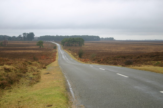
Aldermoor Copse
Wood, Forest in Hampshire New Forest
England
Aldermoor Copse
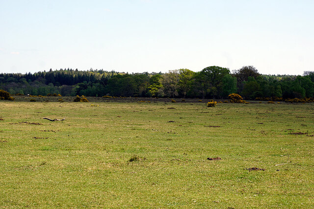
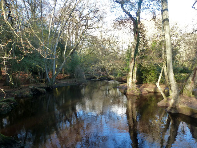
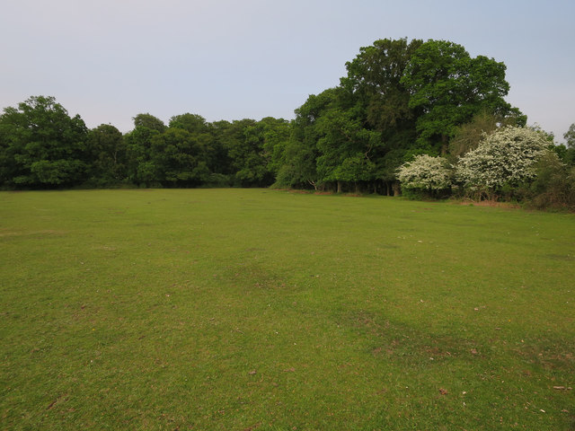
Aldermoor Copse is a charming woodland located in Hampshire, England. Covering an area of approximately 20 hectares, this copse is a haven for nature enthusiasts and wildlife lovers. It is situated near the village of Aldermoor, surrounded by picturesque countryside.
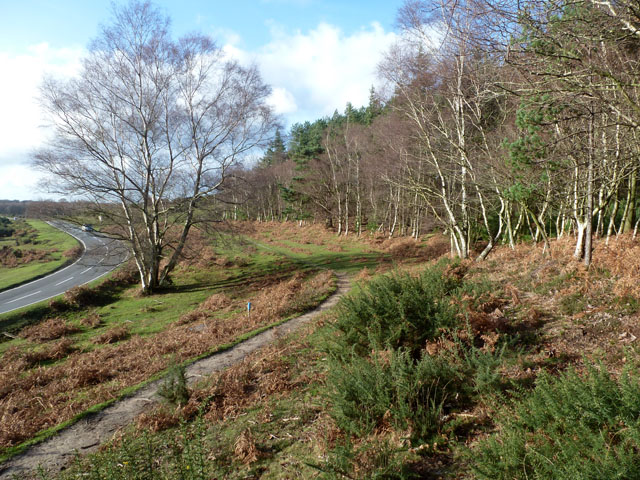
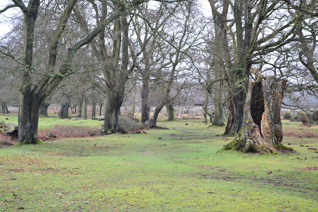
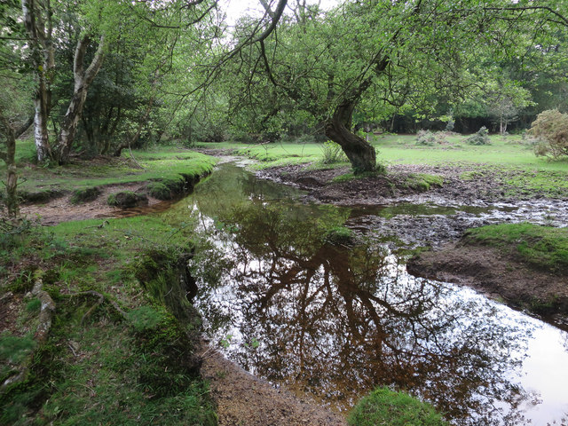
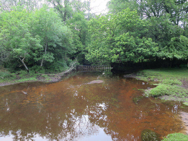
The copse is primarily composed of deciduous trees, predominantly oak and beech, creating a dense and rich canopy. The tall, mature trees provide ample shade, creating a cool and tranquil atmosphere throughout the copse. Underneath the canopy, the forest floor is covered with a thick layer of fallen leaves, offering a soft and natural carpet for visitors to tread upon.
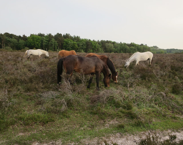
Aldermoor Copse is home to a diverse range of wildlife, including various species of birds, mammals, and insects. Birdwatchers can often spot woodpeckers, nuthatches, and jays flying amongst the trees, while squirrels and badgers are commonly seen scurrying through the undergrowth. The copse also supports a variety of insects, such as butterflies and beetles, which thrive in the lush vegetation.
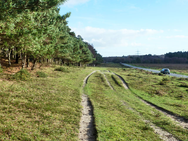
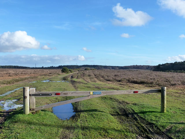
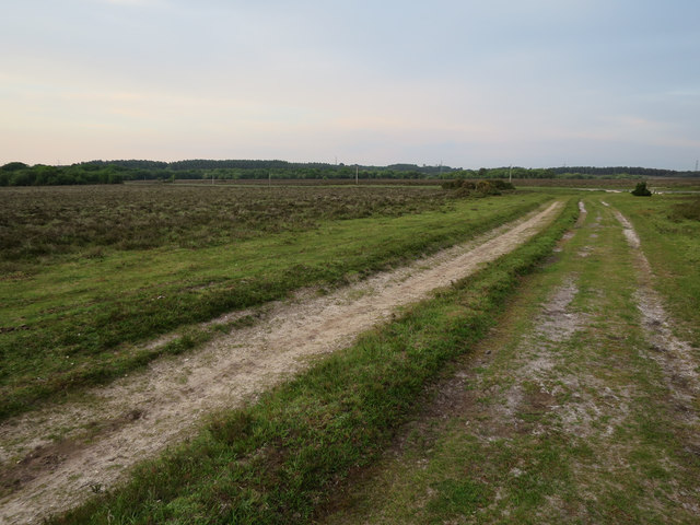
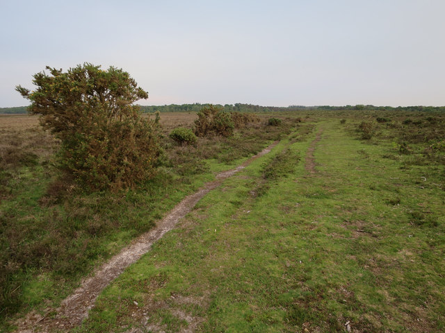
For visitors looking to explore the copse, there are several well-maintained walking trails that wind through the woodland. These trails offer a chance to experience the tranquility of the copse and observe the wildlife up close. The copse is also a popular spot for picnics and family outings, with designated areas for relaxation and recreation.
In summary, Aldermoor Copse is a beautiful woodland in Hampshire, providing a peaceful retreat for nature lovers. With its diverse wildlife and well-marked trails, it offers an opportunity to immerse oneself in the natural beauty of the English countryside.
If you have any feedback on the listing, please let us know in the comments section below.
Aldermoor Copse Images
Images are sourced within 2km of 50.860546/-1.4630608 or Grid Reference SU3706. Thanks to Geograph Open Source API. All images are credited.


Aldermoor Copse is located at Grid Ref: SU3706 (Lat: 50.860546, Lng: -1.4630608)
Administrative County: Hampshire
District: New Forest
Police Authority: Hampshire
What 3 Words
///grapes.talked.void. Near Marchwood, Hampshire
Nearby Locations
Related Wikis

Applemore College
Applemore College is a secondary school in Hampshire, England, situated in the village of Dibden Purlieu on the edge of the New Forest. It offers education...
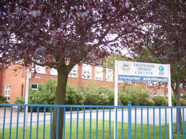
Testwood School
Testwood School (formerly Testwood Sports College) is a secondary school with academy status located in the town of Totton and Eling, England. The school...
Denny Lodge
Denny Lodge is a large civil parish in the New Forest in Hampshire, England. It covers a large area of heathland and woodland encompassing much of the...

Beaulieu Road railway station
Beaulieu Road railway station is located at the point where the South West Main Line from London Waterloo to Weymouth crosses the B3056 road from Beaulieu...
Southampton F.C. Under-21s and Academy
Southampton F.C. Under-21s and Academy or Saints U21s and Academy is the youth organisation run by Southampton F.C. to encourage and develop young footballers...
Staplewood Campus
Staplewood Campus in Marchwood, Hampshire is the training ground of Southampton Football Club. It was the home ground of Road-Sea Southampton until 1987...
Hythe & Dibden F.C.
Hythe & Dibden Football Club is a football club based in Hythe, near Southampton in Hampshire. They are currently members of the Wessex League Premier...

Dibden
Dibden is a small village in Hampshire, England, which dates from the Middle Ages. It is dominated by the nearby settlements of Hythe and Dibden Purlieu...
Nearby Amenities
Located within 500m of 50.860546,-1.4630608Have you been to Aldermoor Copse?
Leave your review of Aldermoor Copse below (or comments, questions and feedback).