Almhouses Wood
Wood, Forest in Yorkshire
England
Almhouses Wood

Almhouses Wood, located in Yorkshire, England, is a picturesque forest area known for its natural beauty and tranquil surroundings. Covering a sprawling area, it is a haven for nature enthusiasts and those seeking a peaceful retreat from the hustle and bustle of city life.
The forest is characterized by its dense foliage, comprising a variety of tree species such as oak, beech, and birch, which provide a rich habitat for a diverse range of flora and fauna. The wood is also home to numerous animal species, including deer, squirrels, and a wide array of birdlife. This makes it an ideal setting for wildlife enthusiasts and birdwatchers, who can observe and appreciate the natural wonders of the area.
Almhouses Wood offers visitors an opportunity to explore its scenic trails and pathways, which meander through the forest, allowing for leisurely walks and hikes. The forest is well-maintained, with clear signposts and seating areas along the way, making it accessible for people of all ages and abilities.
The wood also holds historical significance, with remnants of an ancient settlement dating back to the medieval period. These remnants provide an insight into the rich cultural heritage of the area and offer an opportunity for visitors to delve into its history.
Overall, Almhouses Wood is a serene and captivating destination, inviting visitors to immerse themselves in nature, appreciate its biodiversity, and experience a sense of tranquility amidst its scenic beauty.
If you have any feedback on the listing, please let us know in the comments section below.
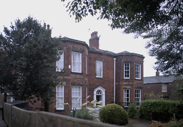
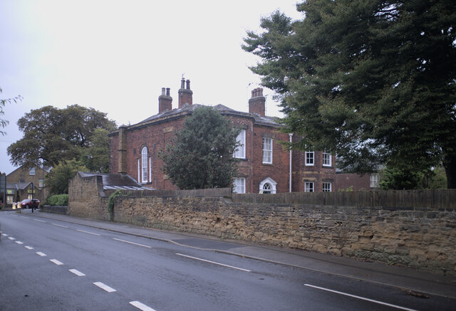
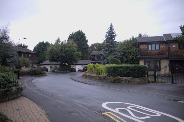
Almhouses Wood Images
Images are sourced within 2km of 53.73905/-1.4271041 or Grid Reference SE3727. Thanks to Geograph Open Source API. All images are credited.


Almhouses Wood is located at Grid Ref: SE3727 (Lat: 53.73905, Lng: -1.4271041)
Division: West Riding
Unitary Authority: Leeds
Police Authority: West Yorkshire
What 3 Words
///canine.rises.staining. Near Methley, West Yorkshire
Nearby Locations
Related Wikis
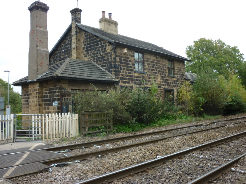
Methley railway station
Methley railway station was opened in 1841 by the North Midland Railway on its line from Derby to Leeds. At one time, there were three railway stations...

West Riding County Football Association
The West Riding County Football Association is the governing body of football in northern parts of the West Riding of Yorkshire, England. Its headquarters...

St Aidan's
St Aidan's is a 355 hectare (877 acres) nature park located between Leeds and Castleford in West Yorkshire, England. The land was formerly an opencast...
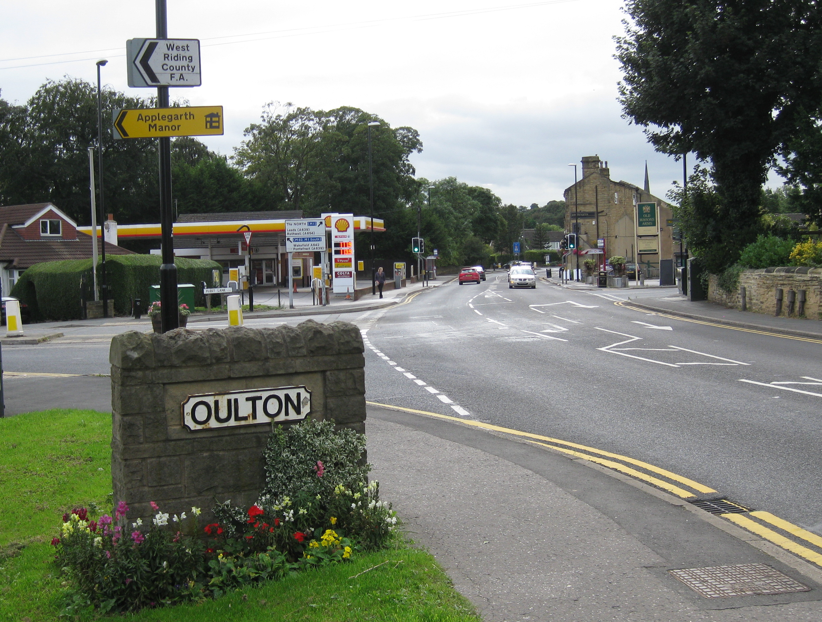
Oulton, West Yorkshire
Oulton is a village in the City of Leeds metropolitan borough, West Yorkshire, England, between Leeds and Wakefield. It is at the junction of the A639...
Nearby Amenities
Located within 500m of 53.73905,-1.4271041Have you been to Almhouses Wood?
Leave your review of Almhouses Wood below (or comments, questions and feedback).