Newlands Copse

Wood, Forest in Hampshire New Forest

England

Newlands Copse

Sowley Lane Country lane from Pylewell to St Leonards Road.
Sowley Lane Credit: Mike Faherty

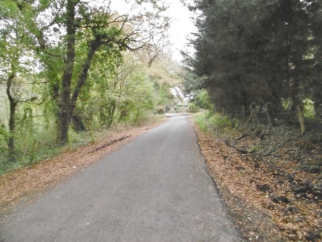
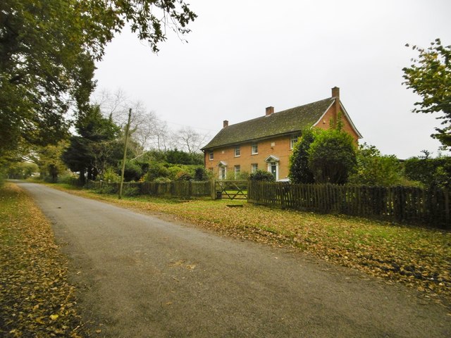
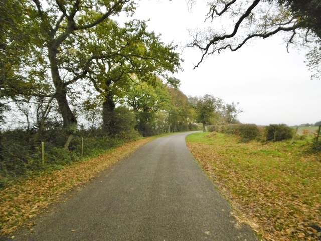
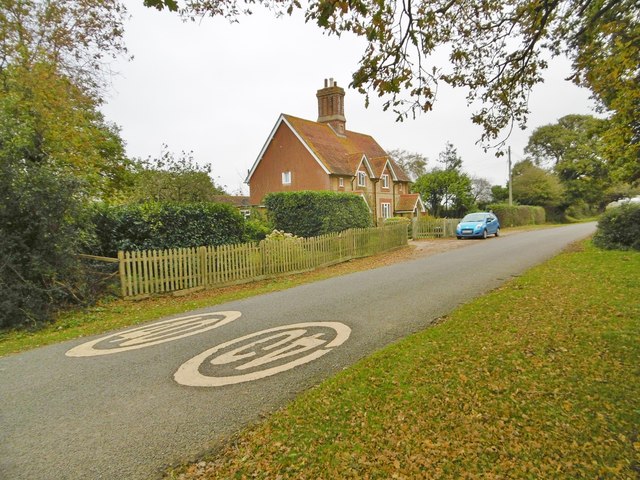
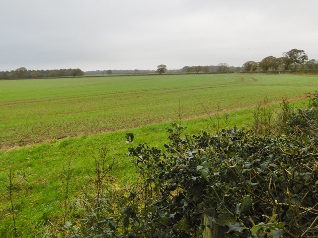
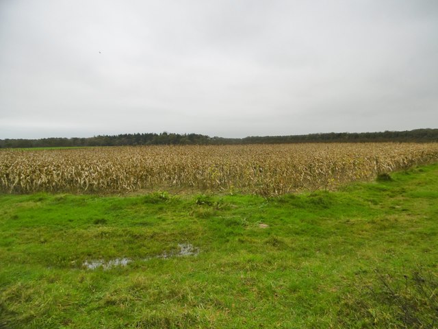
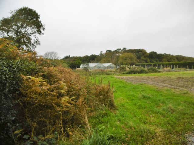
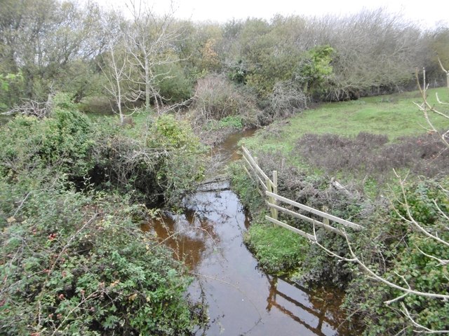
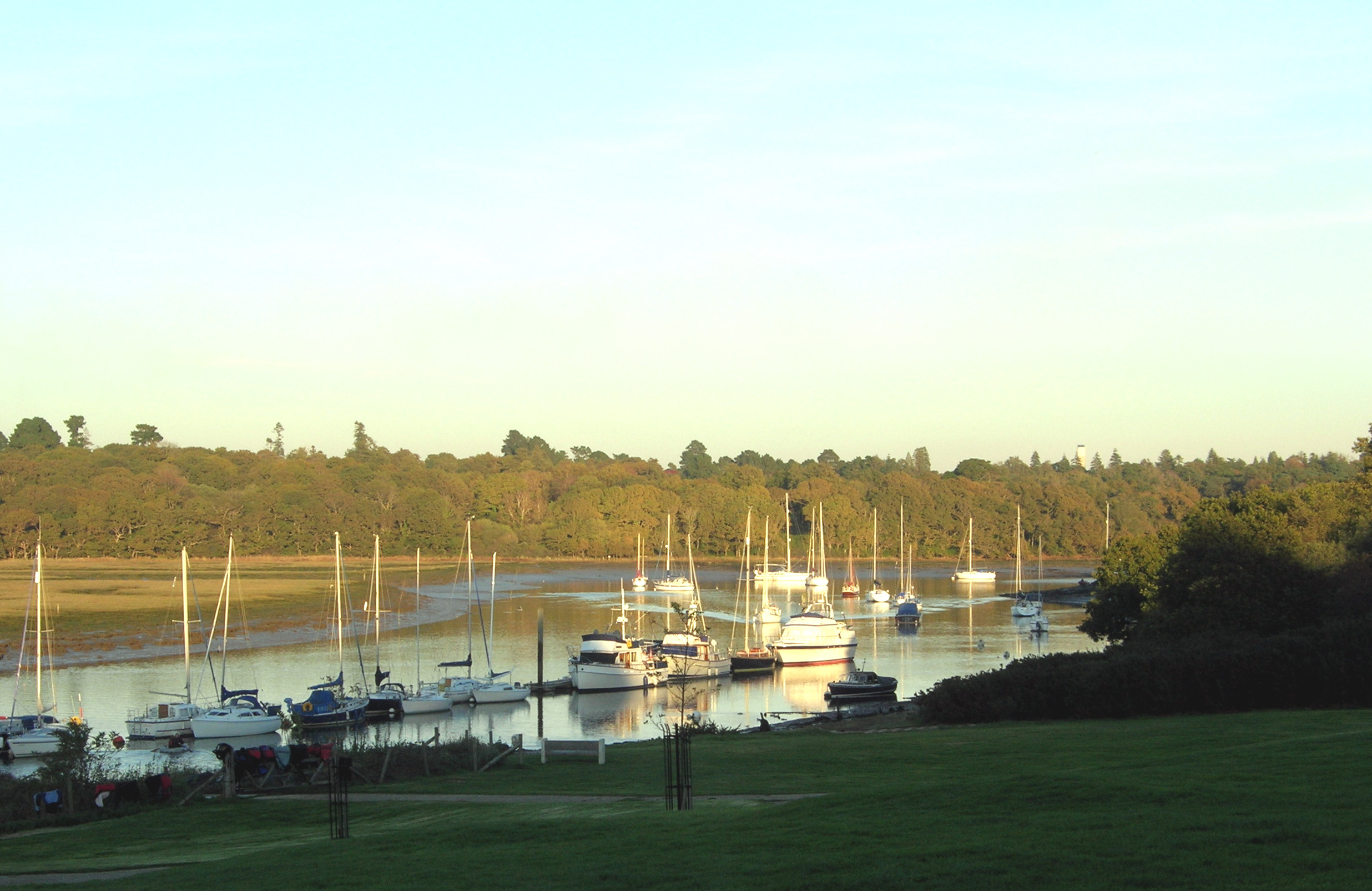
Newlands Copse is a picturesque woodland located in Hampshire, England. Covering an area of approximately 100 acres, it is a popular destination for nature enthusiasts and outdoor lovers. The copse is situated near the village of Boldre, within the New Forest National Park.

The woodland is characterized by its diverse range of tree species, including oak, beech, and holly. These majestic trees form a dense canopy, providing shelter and shade for a variety of wildlife. Visitors can often spot woodland birds such as woodpeckers, nuthatches, and tawny owls, as well as small mammals like squirrels and foxes.

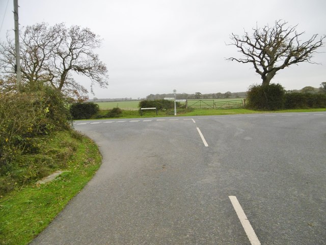
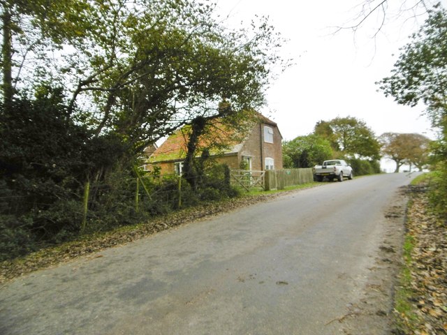
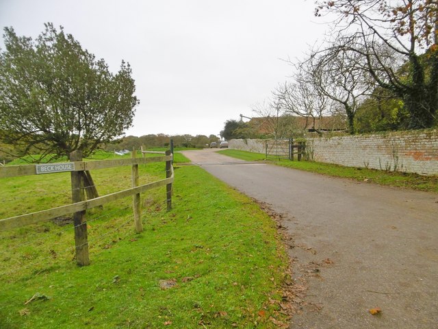
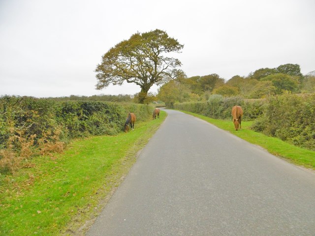
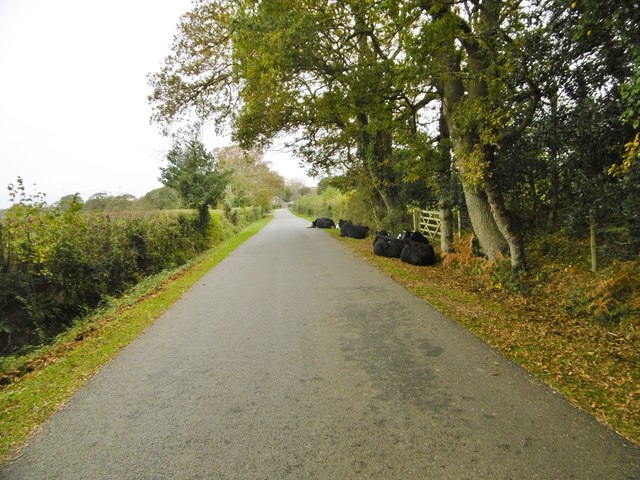
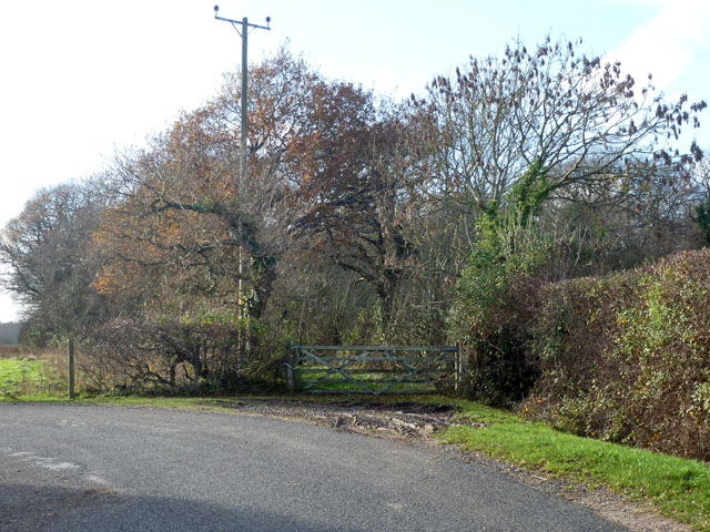
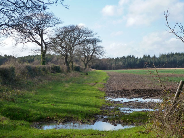
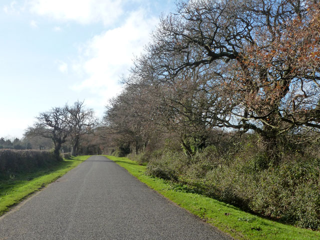
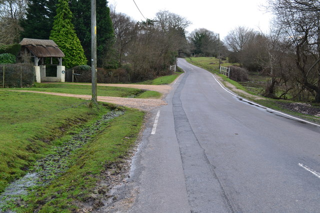
Newlands Copse boasts an extensive network of footpaths and trails, allowing visitors to explore the forest at their own pace. The trails wind through the woodland, offering breathtaking views of the surrounding landscape and providing opportunities for peaceful walks and bike rides.

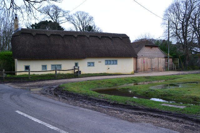
In addition to its natural beauty, Newlands Copse also holds historical significance. The woodland is believed to have been used as a common grazing area for livestock during medieval times. Today, remnants of old field boundaries and ancient oaks can still be seen, serving as a reminder of the area's rich heritage.

Newlands Copse is a haven for nature lovers and offers a peaceful escape from the hustle and bustle of everyday life. Whether it is a leisurely stroll, birdwatching, or simply enjoying the tranquility of the forest, this beautiful woodland is a must-visit destination in Hampshire.

If you have any feedback on the listing, please let us know in the comments section below.

Newlands Copse Images

Images are sourced within 2km of 50.78708/-1.4676617 or Grid Reference SZ3798. Thanks to Geograph Open Source API. All images are credited.

Sowley Lane Country lane from Pylewell to St Leonards Road.
Sowley Lane
Country lane from Pylewell to St Leonards Road.
Sowley, Whitehouse Cottages Estate cottages on Sowley Lane.
Sowley, Whitehouse Cottages
Estate cottages on Sowley Lane.
Sowley Lane Country lane from Pylewell to St Leonards Road.
Sowley Lane
Country lane from Pylewell to St Leonards Road.
Sowley, Thorns Cottages Estate cottages on Sowley Lane.
Sowley, Thorns Cottages
Estate cottages on Sowley Lane.
Sowley, cropland Winter cereals, next to Sowley Lane.
Sowley, cropland
Winter cereals, next to Sowley Lane.
Sowley, road junction At the end of Sowley Lane, approaching St Leonards Road; the Solent Way continues to the right. <span class="nowrap"><a title="http://www3.hants.gov.uk/longdistance/walking-solentway.htm" rel="nofollow ugc noopener" href="http://www3.hants.gov.uk/longdistance/walking-solentway.htm">Link</a><img style="margin-left:2px;" alt="External link" title="External link - shift click to open in new window" src="https://s1.geograph.org.uk/img/external.png" width="10" height="10"/></span>
Sowley, road junction
At the end of Sowley Lane, approaching St Leonards Road; the Solent Way continues to the right. LinkExternal link
Sowley, Beck Farm Cottage Estate cottage on St Leonards Road.
Sowley, Beck Farm Cottage
Estate cottage on St Leonards Road.
Sowley, entrance To Beck House; the entrance to the farm is to the West.
Sowley, entrance
To Beck House; the entrance to the farm is to the West.
East End, maize field This field does not seem to have been harvested; perhaps it has been maintained as a pheasant covert - birds are visible in the area.
East End, maize field
This field does not seem to have been harvested; perhaps it has been maintained as a pheasant covert - birds are visible in the area.
East End, ponies New Forest ponies grazing on the verges of St Leonards Road, exercising their owners' Common of Pasture. <span class="nowrap"><a title="http://www.newforest.hampshire.org.uk/today1.html" rel="nofollow ugc noopener" href="http://www.newforest.hampshire.org.uk/today1.html">Link</a><img style="margin-left:2px;" alt="External link" title="External link - shift click to open in new window" src="https://s1.geograph.org.uk/img/external.png" width="10" height="10"/></span>
East End, ponies
New Forest ponies grazing on the verges of St Leonards Road, exercising their owners' Common of Pasture. LinkExternal link
East End, glasshouses At Beckheath Nurseries, on St Leonards Road.
East End, glasshouses
At Beckheath Nurseries, on St Leonards Road.
East End, cattle On St Leonards Road; perhaps, not so much jay-walking as jay-resting. Whatever, exercising their owner's Common of Pasture. <span class="nowrap"><a title="http://www.newforest.hampshire.org.uk/today1.html" rel="nofollow ugc noopener" href="http://www.newforest.hampshire.org.uk/today1.html">Link</a><img style="margin-left:2px;" alt="External link" title="External link - shift click to open in new window" src="https://s1.geograph.org.uk/img/external.png" width="10" height="10"/></span>
East End, cattle
On St Leonards Road; perhaps, not so much jay-walking as jay-resting. Whatever, exercising their owner's Common of Pasture. LinkExternal link
East End, Crockford Stream Looking upstream from East End Bridge.
East End, Crockford Stream
Looking upstream from East End Bridge.
Gate on the corner This gives access to woodland, but seems disused.
Gate on the corner
This gives access to woodland, but seems disused.
Field west of Lodge Lane Horsemoor Copse is in the distance.
Field west of Lodge Lane
Horsemoor Copse is in the distance.
Sowley Lane The oaks in this area seem particularly twisted, and not very large - perhaps the effects of wind off the sea.
Sowley Lane
The oaks in this area seem particularly twisted, and not very large - perhaps the effects of wind off the sea.
Bridge over stream in Cripplegate Lane
Thatched cottage between East Boldre and East End
Show me another place!

Newlands Copse is located at Grid Ref: SZ3798 (Lat: 50.78708, Lng: -1.4676617)

Administrative County: Hampshire

District: New Forest

Police Authority: Hampshire

What 3 Words

///mushroom.pronouns.paper. Near Lymington, Hampshire

Related Wikis

East Boldre

East Boldre is a linear village and civil parish situated near Lymington, Hampshire, England. East Boldre is surrounded by the New Forest and forms part...

Norley Copse and Meadow

Norley Copse and Meadow is a 7.5-hectare (19-acre) biological Site of Special Scientific Interest east of Lymington in Hampshire. It is part of New Forest...

East End, Hampshire

East End is a hamlet in the civil parish of East Boldre in the New Forest National Park of Hampshire, England. Its nearest town is Lymington, which lies...

Sowley Pond

Sowley Pond is a 49.3-hectare (122-acre) biological Site of Special Scientific Interest east of Lymington in Hampshire. It is part of Solent and Southampton...

South Hampshire Coast

The South Hampshire Coast was an Area of Outstanding Natural Beauty (AONB) in Hampshire, England, UK that was subsumed into the New Forest National Park...

Norley Wood

Norley Wood (or Norleywood) is a hamlet in the New Forest National Park of Hampshire, England. It is in the civil parish of Boldre. Its nearest town...

RAF Needs Oar Point

Royal Air Force Needs Oar Point or more simply RAF Needs Oar Point is a former Royal Air Force advanced landing ground located near Lymington in Hampshire...

South Baddesley

South Baddesley is a small village in the civil parish of Boldre in the New Forest National Park of Hampshire, England. It lies 2.3 miles (3.7 km) north...

Nearby Amenities

Located within 500m of 50.78708,-1.4676617
Newlands
Place: locality
Lat/Long: 50.7879956/-1.462447
The data included in this document is from www.openstreetmap.org. The data is made available under ODbL.

Have you been to Newlands Copse?

Leave your review of Newlands Copse below (or comments, questions and feedback).