Upper Beckheath Plantation

Wood, Forest in Hampshire New Forest

England

Upper Beckheath Plantation

Sowley, clamp In a field next to Sowley Brooms.
Sowley, clamp Credit: Mike Faherty

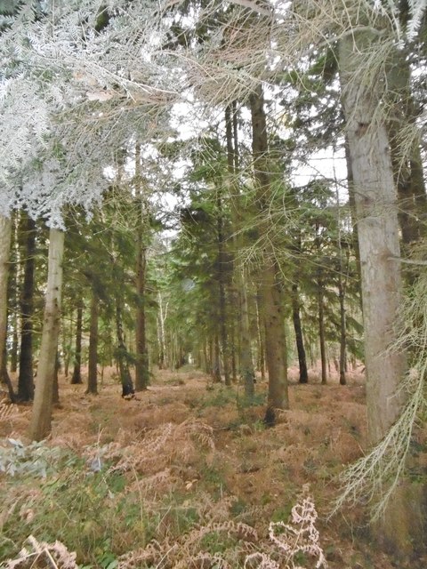
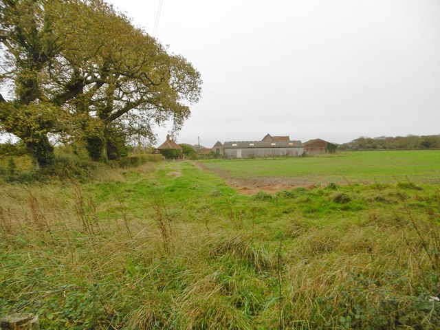
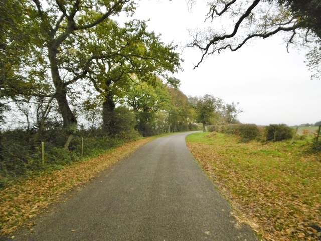
Upper Beckheath Plantation is a picturesque woodland located in Hampshire, England. Covering an area of approximately 100 hectares, it is a prominent feature of the New Forest National Park. The plantation boasts a diverse range of tree species, including oak, beech, and birch, creating a rich and vibrant ecosystem.

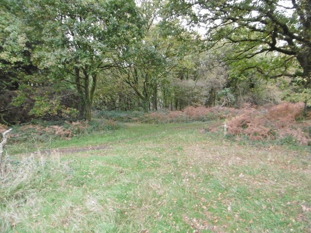
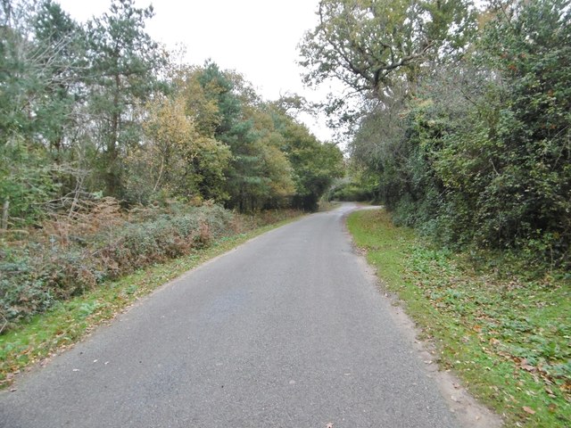
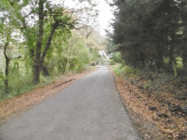
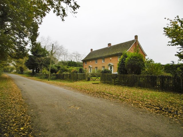
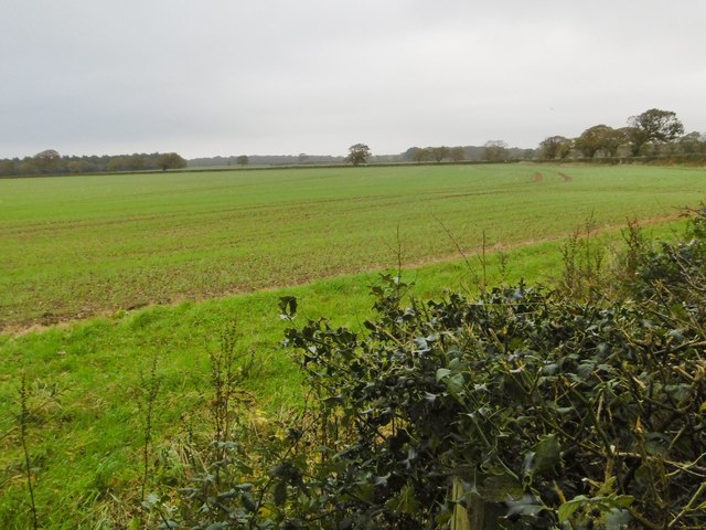
The woodland is known for its tranquil and serene atmosphere, attracting nature enthusiasts and visitors seeking a peaceful retreat. The dense canopy provides ample shade in the summer months, making it an ideal spot for leisurely walks and picnics. The forest floor is adorned with a variety of wildflowers, adding bursts of color to the landscape.

Upper Beckheath Plantation is home to a wide array of wildlife. The resident population includes deer, badgers, foxes, and a variety of bird species, making it a haven for birdwatchers. The woodland also supports a diverse range of insect life, including butterflies and beetles, adding to its ecological significance.

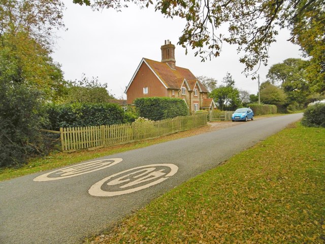
The plantation is meticulously managed by forest rangers, ensuring the preservation of its natural beauty and biodiversity. This includes the implementation of sustainable forestry practices and the creation of designated trails for visitors to explore. Interpretive signage and information boards are strategically placed throughout the woodland, providing educational insights into the local flora and fauna.

Overall, Upper Beckheath Plantation offers a remarkable opportunity to connect with nature and experience the beauty of Hampshire's woodlands. Its stunning scenery, diverse wildlife, and well-maintained trails make it a must-visit destination for nature lovers and outdoor enthusiasts alike.

If you have any feedback on the listing, please let us know in the comments section below.

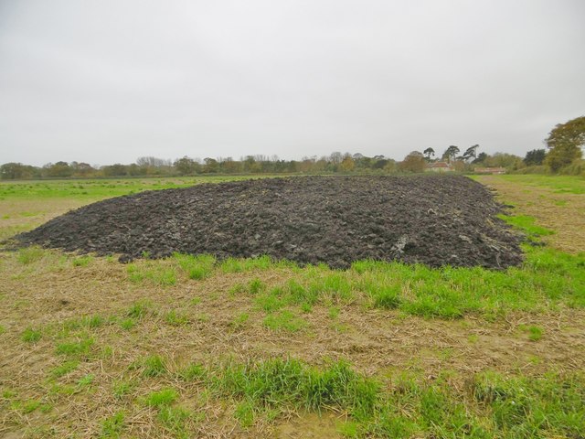
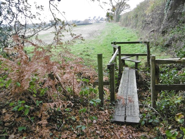
Upper Beckheath Plantation Images

Images are sourced within 2km of 50.781279/-1.4736282 or Grid Reference SZ3798. Thanks to Geograph Open Source API. All images are credited.

Sowley, clamp In a field next to Sowley Brooms.
Sowley, clamp
In a field next to Sowley Brooms.
Sowley, footbridge & stile Leaving Sowley Brooms to cross farmland to Pylewell, on the Solent Way: <span class="nowrap"><a title="http://www3.hants.gov.uk/longdistance/walking-solentway.htm" rel="nofollow ugc noopener" href="http://www3.hants.gov.uk/longdistance/walking-solentway.htm">Link</a><img style="margin-left:2px;" alt="External link" title="External link - shift click to open in new window" src="https://s1.geograph.org.uk/img/external.png" width="10" height="10"/></span>
Sowley, footbridge & stile
Leaving Sowley Brooms to cross farmland to Pylewell, on the Solent Way: LinkExternal link
Sowley Brooms A mixed woodland plantation; in this section, conifers.
Sowley Brooms
A mixed woodland plantation; in this section, conifers.
Sowley Brooms, footpath junction Take the second path for Pylewell, on the Solent Way. <span class="nowrap"><a title="http://www3.hants.gov.uk/longdistance/walking-solentway.htm" rel="nofollow ugc noopener" href="http://www3.hants.gov.uk/longdistance/walking-solentway.htm">Link</a><img style="margin-left:2px;" alt="External link" title="External link - shift click to open in new window" src="https://s1.geograph.org.uk/img/external.png" width="10" height="10"/></span>
Sowley Brooms, footpath junction
Take the second path for Pylewell, on the Solent Way. LinkExternal link
Sowley, farm track Between Sowley Brooms (left) and open farmland; on the Solent Way. <span class="nowrap"><a title="http://www3.hants.gov.uk/longdistance/walking-solentway.htm" rel="nofollow ugc noopener" href="http://www3.hants.gov.uk/longdistance/walking-solentway.htm">Link</a><img style="margin-left:2px;" alt="External link" title="External link - shift click to open in new window" src="https://s1.geograph.org.uk/img/external.png" width="10" height="10"/></span>
Sowley, farm track
Between Sowley Brooms (left) and open farmland; on the Solent Way. LinkExternal link
Sowley, Solent Way Part of the long-distance path from Milford to Emsworth; this section skirts farmland to Sowley Lane. <span class="nowrap"><a title="http://www3.hants.gov.uk/longdistance/walking-solentway.htm" rel="nofollow ugc noopener" href="http://www3.hants.gov.uk/longdistance/walking-solentway.htm">Link</a><img style="margin-left:2px;" alt="External link" title="External link - shift click to open in new window" src="https://s1.geograph.org.uk/img/external.png" width="10" height="10"/></span>
Sowley, Solent Way
Part of the long-distance path from Milford to Emsworth; this section skirts farmland to Sowley Lane. LinkExternal link
Sowley, cropland A field of young cereals.
Sowley, cropland
A field of young cereals.
Sowley, kissing gate Leaving Sowley Lane, to walk next to farmland towards Pylewell, on the Solent Way: <span class="nowrap"><a title="http://www3.hants.gov.uk/longdistance/walking-solentway.htm" rel="nofollow ugc noopener" href="http://www3.hants.gov.uk/longdistance/walking-solentway.htm">Link</a><img style="margin-left:2px;" alt="External link" title="External link - shift click to open in new window" src="https://s1.geograph.org.uk/img/external.png" width="10" height="10"/></span>
Sowley, kissing gate
Leaving Sowley Lane, to walk next to farmland towards Pylewell, on the Solent Way: LinkExternal link
Sowley, Browns Lane One of several lanes from Sowley Lane to the coastline; all are private, and give no access to the coast. This lane leads to Sowley Gate House.
Sowley, Browns Lane
One of several lanes from Sowley Lane to the coastline; all are private, and give no access to the coast. This lane leads to Sowley Gate House.
Sowley Farm Looking at surrounding fields, the farm is given over to cereal production.
Sowley Farm
Looking at surrounding fields, the farm is given over to cereal production.
Sowley Pond In scale, more of a lake than a pond; fed by Crockford Stream, and flowing into the Solent at Sowley Marsh. <span class="nowrap"><a title="https://en.wikipedia.org/wiki/Sowley_Pond" rel="nofollow ugc noopener" href="https://en.wikipedia.org/wiki/Sowley_Pond">Link</a><img style="margin-left:2px;" alt="External link" title="External link - shift click to open in new window" src="https://s1.geograph.org.uk/img/external.png" width="10" height="10"/></span>
Sowley Pond
In scale, more of a lake than a pond; fed by Crockford Stream, and flowing into the Solent at Sowley Marsh. LinkExternal link
Sowley, drive Entrance to Sowley House (in the distance), centrepiece of the Sowley Estate.
Sowley, drive
Entrance to Sowley House (in the distance), centrepiece of the Sowley Estate.
Sowley Lane Country lane from Pylewell to St Leonards Road.
Sowley Lane
Country lane from Pylewell to St Leonards Road.
Sowley Lane Country lane from Pylewell to St Leonards Road.
Sowley Lane
Country lane from Pylewell to St Leonards Road.
Sowley, Whitehouse Cottages Estate cottages on Sowley Lane.
Sowley, Whitehouse Cottages
Estate cottages on Sowley Lane.
Sowley Lane Country lane from Pylewell to St Leonards Road.
Sowley Lane
Country lane from Pylewell to St Leonards Road.
Sowley, Thorns Cottages Estate cottages on Sowley Lane.
Sowley, Thorns Cottages
Estate cottages on Sowley Lane.
Sowley, cropland Winter cereals, next to Sowley Lane.
Sowley, cropland
Winter cereals, next to Sowley Lane.
Show me another place!

Upper Beckheath Plantation is located at Grid Ref: SZ3798 (Lat: 50.781279, Lng: -1.4736282)

Administrative County: Hampshire

District: New Forest

Police Authority: Hampshire

What 3 Words

///group.acre.spearing. Near Lymington, Hampshire

Related Wikis

East End, Hampshire

East End is a hamlet in the civil parish of East Boldre in the New Forest National Park of Hampshire, England. Its nearest town is Lymington, which lies...

Norley Copse and Meadow

Norley Copse and Meadow is a 7.5-hectare (19-acre) biological Site of Special Scientific Interest east of Lymington in Hampshire. It is part of New Forest...

Sowley Pond

Sowley Pond is a 49.3-hectare (122-acre) biological Site of Special Scientific Interest east of Lymington in Hampshire. It is part of Solent and Southampton...

Norley Wood

Norley Wood (or Norleywood) is a hamlet in the New Forest National Park of Hampshire, England. It is in the civil parish of Boldre. Its nearest town...

South Hampshire Coast

The South Hampshire Coast was an Area of Outstanding Natural Beauty (AONB) in Hampshire, England, UK that was subsumed into the New Forest National Park...

East Boldre

East Boldre is a linear village and civil parish situated near Lymington, Hampshire, England. East Boldre is surrounded by the New Forest and forms part...

South Baddesley

South Baddesley is a small village in the civil parish of Boldre in the New Forest National Park of Hampshire, England. It lies 2.3 miles (3.7 km) north...

Pylewell Park

Pylewell Park is a country house and park near Lymington in Hampshire. It is listed as grade II*. == History == A settlement on the site of Baddesley Manor...

Nearby Amenities

Located within 500m of 50.781279,-1.4736282
Bus Stop
Beckheath Cottages
Bus: yes
Naptan AtcoCode: 1900HA080608
Naptan Bearing: S
Naptan CommonName: Beckheath Cottages
Naptan NaptanCode: hamapjwg
Naptan Street: Main Road
Naptan Verified: no
Public Transport: platform
Source: naptan_import
Lat/Long: 50.7800975/-1.4793524
Bus Stop
Beckheath Cottages
Bus: yes
Naptan AtcoCode: 1900HA080609
Naptan Bearing: N
Naptan CommonName: Beckheath Cottages
Naptan NaptanCode: hamapjwd
Naptan Street: Main Road
Naptan Verified: no
Public Transport: platform
Source: naptan_import
Lat/Long: 50.78008/-1.4794802
Bus Stop
Broomhill Farm
Bus: yes
Naptan AtcoCode: 1900HA080610
Naptan Bearing: S
Naptan CommonName: Broomhill Farm
Naptan NaptanCode: hamapjwa
Naptan Street: Main Road
Naptan Verified: no
Public Transport: platform
Source: naptan_import
Lat/Long: 50.7827604/-1.4795782
Bus Stop
Broomhill Farm
Bus: yes
Naptan AtcoCode: 1900HA080611
Naptan Bearing: N
Naptan CommonName: Broomhill Farm
Naptan NaptanCode: hamapjtp
Naptan Street: Main Road
Naptan Verified: no
Public Transport: platform
Source: naptan_import
Lat/Long: 50.7827697/-1.479649
The data included in this document is from www.openstreetmap.org. The data is made available under ODbL.

Have you been to Upper Beckheath Plantation?

Leave your review of Upper Beckheath Plantation below (or comments, questions and feedback).