Berryham Plantation

Wood, Forest in Oxfordshire West Oxfordshire

England

Berryham Plantation

A415 near Cokethorpe School
A415 near Cokethorpe School Credit: Colin Pyle

Berryham Plantation is a picturesque woodland area located in Oxfordshire, England. Situated in the heart of the county, this enchanting forest spans over several acres and offers a tranquil retreat for nature lovers and outdoor enthusiasts alike.

The plantation is characterized by its dense woodland, which is predominantly composed of various species of trees such as oak, beech, and birch. These towering trees create a rich canopy that provides shade and shelter to an array of wildlife that calls this place home. The forest floor is adorned with a carpet of vibrant flora, including bluebells, primroses, and ferns, adding to the natural beauty of the area.

Visitors to Berryham Plantation can enjoy a network of well-maintained walking trails that wind their way through the forest, offering breathtaking views and opportunities to spot wildlife. There are also designated picnic areas and benches dotted along the trails, providing a perfect setting for a leisurely lunch or a moment of quiet contemplation.

The plantation is a haven for birdwatching enthusiasts, as it attracts a diverse range of avian species. From woodpeckers and owls to thrushes and warblers, birdwatchers can indulge in their passion while surrounded by the peaceful sounds of nature.

Overall, Berryham Plantation is a hidden gem in Oxfordshire, offering visitors a chance to escape the hustle and bustle of daily life and immerse themselves in the serene beauty of a woodland paradise.

If you have any feedback on the listing, please let us know in the comments section below.

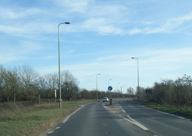
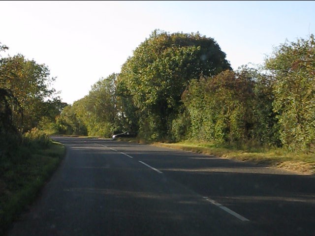
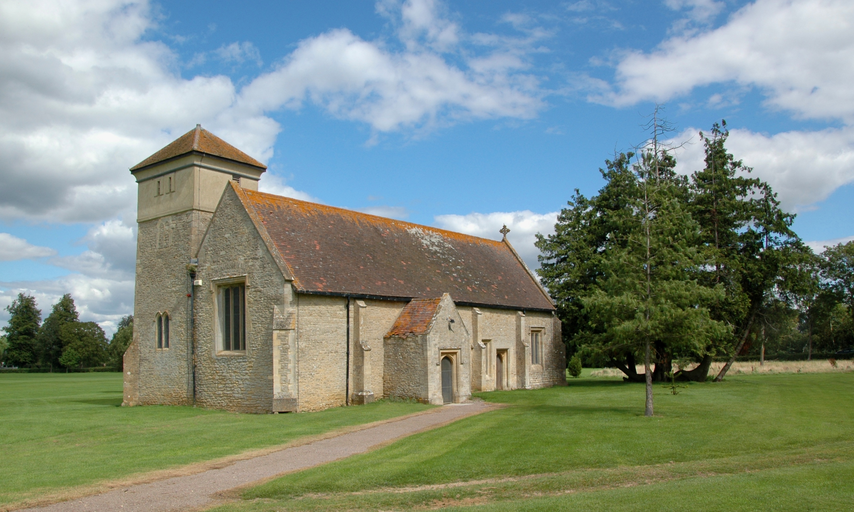
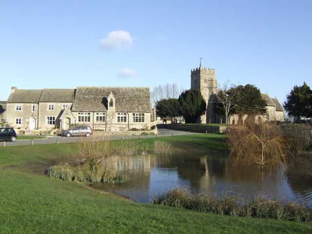
Berryham Plantation Images

Images are sourced within 2km of 51.75471/-1.456469 or Grid Reference SP3706. Thanks to Geograph Open Source API. All images are credited.

A415 near Cokethorpe School
A415 at Hardwick turn
A415 nears Downs Road junction
Lane to Stanton Harcourt at Cogges Bridge Cottage
Power lines cross the lane to Stanton Harcourt
Entrance to Gill Mill
Long straight by the sand pits
Tar Farm Cottage
Tar Farm Cottage
Lane to Stanton Harcourt
B4449 crosses Medley Brook
B4449 at the gravel pits
B4449 approaching the junction for Hardwick
A415 north of Hardwick traffic lights
A415 skirting Cokethorpe School's grounds
A415 at the entrance to Cokethorpe School
A415 at the entrance to Cokethorpe Park
A415 at the junction for Ducklington
The Snakes Head Fritillary Fritillaria melagris, the county flower of Oxfordshire. <span class="nowrap"><a title="http://en.wikipedia.org/wiki/Fritillaria_meleagris" rel="nofollow ugc noopener" href="http://en.wikipedia.org/wiki/Fritillaria_meleagris">Link</a><img style="margin-left:2px;" alt="External link" title="External link - shift click to open in new window" src="https://s1.geograph.org.uk/img/external.png" width="10" height="10"/></span>
This beautiful plant only grows in a few special locations where meadowland hasn't been disturbed.
This picture was taken on Ducklington's Fritillary Sunday.
<span class="nowrap"><a title="http://www.ducklingtonchurch.org.uk/events/fritillary/" rel="nofollow ugc noopener" href="http://www.ducklingtonchurch.org.uk/events/fritillary/">Link</a><img style="margin-left:2px;" alt="External link" title="External link - shift click to open in new window" src="https://s1.geograph.org.uk/img/external.png" width="10" height="10"/></span>
The Snakes Head Fritillary
Fritillaria melagris, the county flower of Oxfordshire. LinkExternal link This beautiful plant only grows in a few special locations where meadowland hasn't been disturbed. This picture was taken on Ducklington's Fritillary Sunday. LinkExternal link
Show me another place!

Berryham Plantation is located at Grid Ref: SP3706 (Lat: 51.75471, Lng: -1.456469)

Administrative County: Oxfordshire

District: West Oxfordshire

Police Authority: Thames Valley

What 3 Words

///elevates.suspend.stress. Near Ducklington, Oxfordshire

Related Wikis

Cokethorpe School

Cokethorpe School is an independent day school in Hardwick, West Oxfordshire. Founded in 1957 by Francis Brown, it is a member of HMC, IAPS, and The Society...

Hardwick, West Oxfordshire

Hardwick is a village and former civil parish, now in the parish of Hardwick-with-Yelford, in the West Oxfordshire district, in the county of Oxfordshire...

Hardwick-with-Yelford

Hardwick-with-Yelford is a civil parish in West Oxfordshire, in the county of Oxfordshire, England. The parish includes the villages of Hardwick and Yelford...

Ducklington Mead

Ducklington Mead is a 4.6-hectare (11-acre) biological Site of Special Scientific Interest east of Ducklington in Oxfordshire.This traditionally managed...

Ducklington

Ducklington is a village and civil parish on the River Windrush 1 mile (1.6 km) south of Witney in West Oxfordshire. The 2011 Census recorded the parish...

Yelford

Yelford is a village and former civil parish, now in the parish of Hardwick-with-Yelford, in the West Oxfordshire district, in the county of Oxfordshire...

Brighthampton

Brighthampton is a hamlet about 4 miles (6.4 km) south of Witney in West Oxfordshire and contiguous with the village of Standlake. == Archaeology == A...

South Leigh railway station

South Leigh railway station was a single-platform station that served the Oxfordshire village of South Leigh on the Oxford, Witney and Fairford Railway...

Nearby Amenities

Located within 500m of 51.75471,-1.456469
Hardwick
Is In: Oxfordshire, England, UK
Place: hamlet
Wikidata: Q5656457
Wikipedia: en:Hardwick, West Oxfordshire
Lat/Long: 51.7517955/-1.4517373
Barrier: kissing_gate
Bicycle: no
Foot: yes
Lat/Long: 51.7540226/-1.4505908
Barrier: kissing_gate
Bicycle: no
Foot: yes
Lat/Long: 51.7560526/-1.453788
Windrush Path
Board Type: nature
Information: board
Tourism: information
Lat/Long: 51.7530427/-1.4524808
Post Box
Brand: Royal Mail
Brand Wikidata: Q638098
Collection Times: Mo-Fr 16:45; Sa 08:00
Operator: Royal Mail
Operator Wikidata: Q638098
Post Box Type: wall
Lat/Long: 51.7518246/-1.4521184
Barrier: kissing_gate
Bicycle: no
Foot: yes
Lat/Long: 51.7530457/-1.4524585
Power: pole
Source: Bing
Lat/Long: 51.7579285/-1.4609963
Power: pole
Source: Bing
Lat/Long: 51.7537204/-1.4528428
Power: pole
Source: Bing
Lat/Long: 51.752892/-1.4510806
Power: pole
Source: Bing
Lat/Long: 51.7563536/-1.4573928
Power: pole
Source: Bing
Lat/Long: 51.7571223/-1.4592046
Power: pole
Source: Bing
Lat/Long: 51.7547763/-1.4536904
Power: pole
Source: Bing
Lat/Long: 51.7555667/-1.4555796
Power: pole
Source: Bing
Lat/Long: 51.7567322/-1.45829
Power: pole
Source: Bing
Lat/Long: 51.754245/-1.4532532
Power: pole
Source: Bing
Lat/Long: 51.7559626/-1.4564876
Power: pole
Source: Bing
Lat/Long: 51.7551706/-1.4546384
Power: pole
Lat/Long: 51.7567719/-1.4561556
Power: pole
Lat/Long: 51.7574724/-1.4558318
Power: pole
Lat/Long: 51.7580382/-1.4553338
Power: pole
Lat/Long: 51.7586159/-1.4538208
The data included in this document is from www.openstreetmap.org. The data is made available under ODbL.

Have you been to Berryham Plantation?

Leave your review of Berryham Plantation below (or comments, questions and feedback).