Bathing Well Wood

Wood, Forest in Yorkshire Harrogate

England

Bathing Well Wood

Northwest of Wetherby Looking Northwest. The trees in the photo are those at SE392496, Photo taken from footpath near the old railway line.
Northwest of Wetherby Credit: Paul Allison

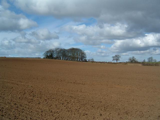
Bathing Well Wood is a picturesque woodland located in the county of Yorkshire, England. Spread over an area of approximately 500 acres, it is known for its natural beauty, diverse flora and fauna, and historical significance. The wood is situated near the town of Holmfirth, nestled in the picturesque Holme Valley.

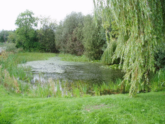
The woodland is named after the nearby Bathing Well, which was used for therapeutic purposes in the 19th century due to its supposedly healing properties. Today, the well is no longer in use, but its historical significance adds to the charm of the wood.

Bathing Well Wood is a mix of deciduous and coniferous trees, creating a stunning landscape throughout the year. It is home to a variety of plant species, including oak, beech, birch, and pine trees. The forest floor is covered with a rich carpet of wildflowers during the spring and summer months.

The wood is also a haven for wildlife, providing a habitat for numerous species. Visitors may spot red deer, roe deer, and a variety of bird species, including woodpeckers, owls, and buzzards. The wood is a popular destination for nature enthusiasts and bird watchers.

The wood offers a network of well-maintained footpaths, allowing visitors to explore its beauty and tranquility. There are also picnic areas and benches where visitors can relax and enjoy the peaceful surroundings. Bathing Well Wood truly offers a unique opportunity to immerse oneself in the beauty of nature and experience the rich history of Yorkshire.

If you have any feedback on the listing, please let us know in the comments section below.

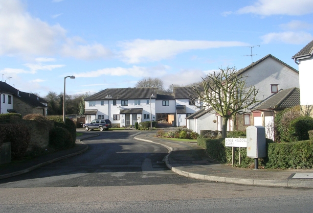
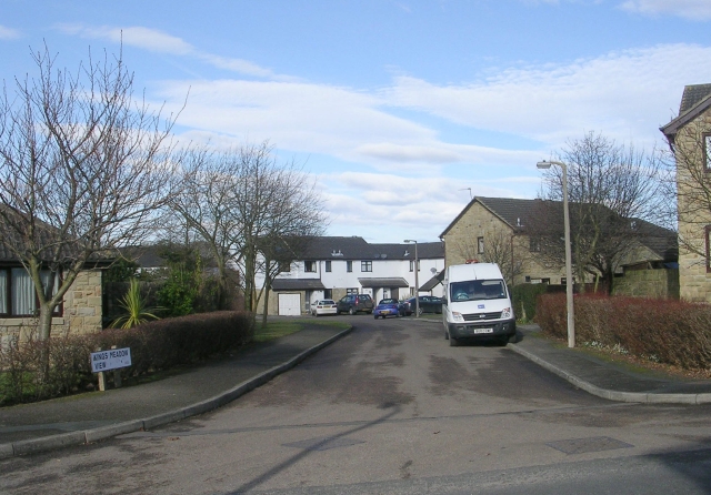
Bathing Well Wood Images

Images are sourced within 2km of 53.937737/-1.4285151 or Grid Reference SE3749. Thanks to Geograph Open Source API. All images are credited.

Northwest of Wetherby Looking Northwest. The trees in the photo are those at SE392496, Photo taken from footpath near the old railway line.
Northwest of Wetherby
Looking Northwest. The trees in the photo are those at SE392496, Photo taken from footpath near the old railway line.
Sicklinghall Road, North and West Yorkshire Looking west from the junction with Northgate Lane (from Linton) towards the village of Sicklinghall about 1.5 miles away. To the left of shot is West Yorkshire and to the right is North Yorkshire. The county boundary follows the white line down the middle of the road.
Sicklinghall Road, North and West Yorkshire
Looking west from the junction with Northgate Lane (from Linton) towards the village of Sicklinghall about 1.5 miles away. To the left of shot is West Yorkshire and to the right is North Yorkshire. The county boundary follows the white line down the middle of the road.
Paper Pulp Mountain near Wetherby Paper pulp is an environmentally friendly soil conditioner. This mound is waiting to be spread on local fields once the harvest has been gathered. The pulp is a waste product from the paper making industry and would have been disposed of in a landfill site.
Paper Pulp Mountain near Wetherby
Paper pulp is an environmentally friendly soil conditioner. This mound is waiting to be spread on local fields once the harvest has been gathered. The pulp is a waste product from the paper making industry and would have been disposed of in a landfill site.
Welcome to Linton A cast reconstituted stone sign on Northgate Lane.
Welcome to Linton
A cast reconstituted stone sign on Northgate Lane.
Harland Way The Harland Way is a cycle route between Spofforth and Wetherby making use of the old railway which used to be here.
Harland Way
The Harland Way is a cycle route between Spofforth and Wetherby making use of the old railway which used to be here.
Little Paddock Cottage, Sicklinghall One of many picturesque cottages in this small North Yorkshire village.
Little Paddock Cottage, Sicklinghall
One of many picturesque cottages in this small North Yorkshire village.
Scotts Arms, Sicklinghall The original name has been removed from the front of this pub, presumably to give more prominence to the chain it now belongs to.
Scotts Arms, Sicklinghall
The original name has been removed from the front of this pub, presumably to give more prominence to the chain it now belongs to.
Sicklinghall village pond
Sicklinghall Wood The bridleway from the wood leads towards Spofforth.
Sicklinghall Wood
The bridleway from the wood leads towards Spofforth.
Stockeld Park This stone Palladian villa was built in 1758-63 by William Middleton whose family had owned the manor since 1318. It was altered in the 1890s when it was bought by Robert Foster who owned the Black Dyke Mills in Bradford.
Stockeld Park
This stone Palladian villa was built in 1758-63 by William Middleton whose family had owned the manor since 1318. It was altered in the 1890s when it was bought by Robert Foster who owned the Black Dyke Mills in Bradford.
New growth The recently sown crop is just breaking through in this field south of Spring Wood near Sicklinghall.
New growth
The recently sown crop is just breaking through in this field south of Spring Wood near Sicklinghall.
Straw bales Linton Spring Farm advertises DIY livery stables, so presumably these bales provide fodder or bedding for the horses.
Straw bales
Linton Spring Farm advertises DIY livery stables, so presumably these bales provide fodder or bedding for the horses.
The A661 to Harrogate near Stockeld Park
Kings Meadow Close - Ainsty Road
Kings Meadow View - Ainsty Road
Wetherby Road
Wetherby Road
Sicklinghall Road, Linton Springs
Sicklinghall Road Viewed from the entrance to Stockeld Lodge Farm. The road signs visible above the horizon are at the junction with Northgate Lane.
Sicklinghall Road
Viewed from the entrance to Stockeld Lodge Farm. The road signs visible above the horizon are at the junction with Northgate Lane.
Show me another place!

Bathing Well Wood is located at Grid Ref: SE3749 (Lat: 53.937737, Lng: -1.4285151)

Division: West Riding

Administrative County: North Yorkshire

District: Harrogate

Police Authority: North Yorkshire

What 3 Words

///operation.october.because. Near Spofforth, North Yorkshire

Related Wikis

The Christmas Adventure

The Christmas Adventure is a seasonal event held at the 2,000-acre (8.1 km2) Stockeld Park estate in North Yorkshire, England.Initially a supplement to...
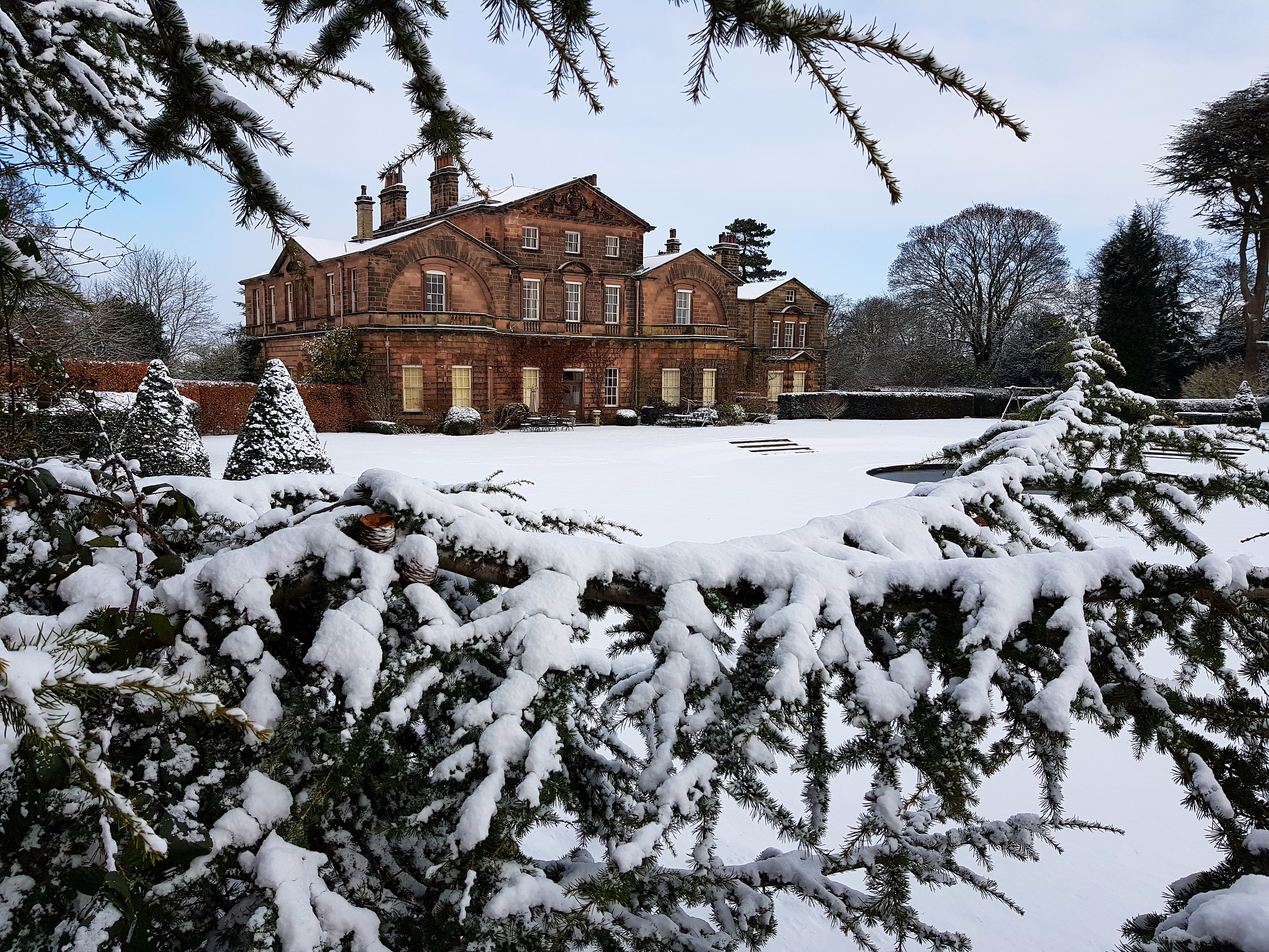
Stockeld Park

Stockeld Park is a Grade-I listed country house and estate situated between the towns of Wetherby and Harrogate, North Yorkshire, England, which is now...

Sicklinghall

Sicklinghall is a village and civil parish in North Yorkshire, England that is situated between the town of Wetherby (3 miles (5 km) to the east) and the...

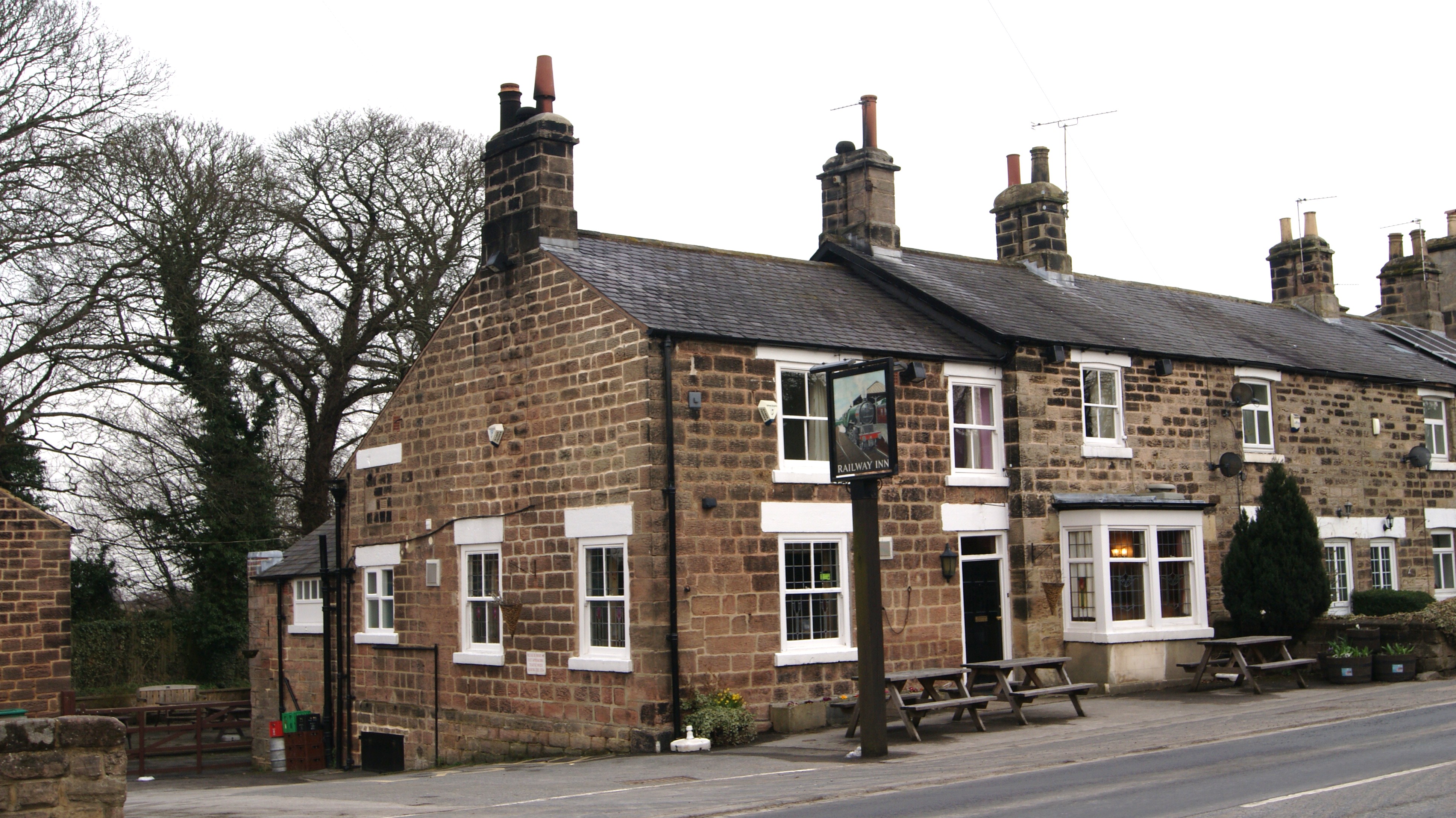
Railway Inn, Spofforth

The Railway Inn is a pub in Spofforth, North Yorkshire, England. == Description == The Railway Inn is a typical English pub with both a public bar and...

Spofforth railway station

Spofforth railway station was a station on the Harrogate–Church Fenton line in Spofforth, North Yorkshire. == History == The station opened on 10 August...

Spofforth with Stockeld

Spofforth with Stockeld is a civil parish in the Harrogate district of North Yorkshire, England. According to the 2001 UK census, Spofforth with Stockeld...
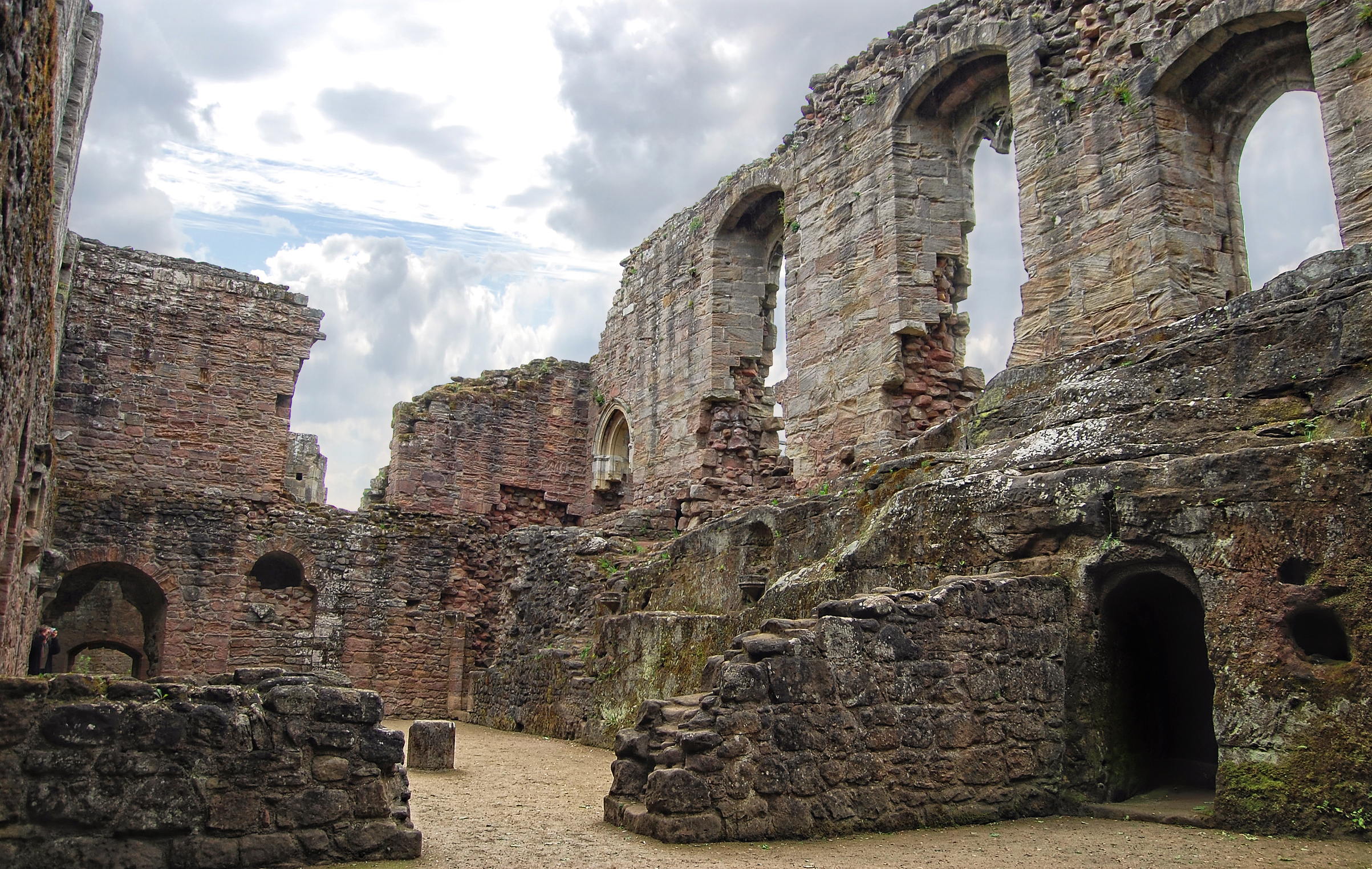
Spofforth Castle

Spofforth Castle in the village of Spofforth, North Yorkshire, England was a fortified manor house, ruined during the English Civil War and now run by...

Spofforth, North Yorkshire

Spofforth is a village in the civil parish of Spofforth with Stockeld in the Harrogate district of North Yorkshire, England, about 3 miles (4.8 km) north...

Nearby Amenities

Located within 500m of 53.937737,-1.4285151
Armitage Chapel
Historic: archaeological_site
Source: OS 1:25k
Lat/Long: 53.937858/-1.4251983
Leisure: playground
Source: survey
Lat/Long: 53.9372709/-1.4286838
Leisure: playground
Source: survey
Lat/Long: 53.9377225/-1.4301804
Leisure: playground
Source: survey
Lat/Long: 53.9389762/-1.4292712
Leisure: picnic_table
Source: survey
Lat/Long: 53.9392209/-1.428488
Cafe
Lat/Long: 53.9399606/-1.4284055
Leisure: indoor_play
Lat/Long: 53.9401295/-1.4283492
Noexit: yes
Lat/Long: 53.9398099/-1.4290588
Entrance: exit
Lat/Long: 53.9398306/-1.4290731
Access: customers
Entrance: main
Lat/Long: 53.939686/-1.4291597
Bus Stop
Bench: no
Bus: yes
Public Transport: platform
Shelter: no
Lat/Long: 53.9420894/-1.4283905
Bus: yes
Public Transport: stop_position
Lat/Long: 53.9420445/-1.4284129
Barrier: cattle_grid
Lat/Long: 53.939018/-1.4330694
The data included in this document is from www.openstreetmap.org. The data is made available under ODbL.

Have you been to Bathing Well Wood?

Leave your review of Bathing Well Wood below (or comments, questions and feedback).