Duckmead Row

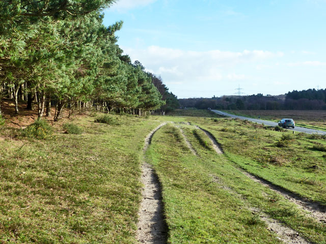
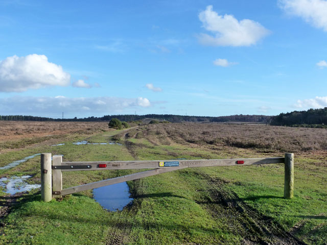
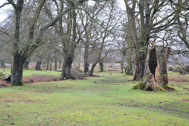
Wood, Forest in Hampshire New Forest

England

Duckmead Row

Grassy plain east of Longdown Inclosure
Grassy plain east of Longdown Inclosure Credit: David Martin

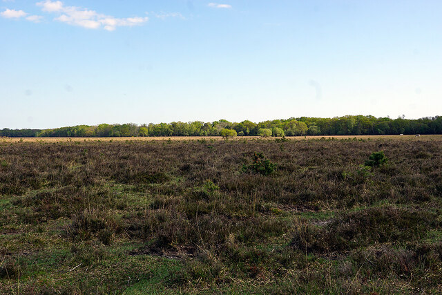
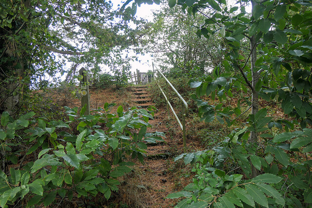
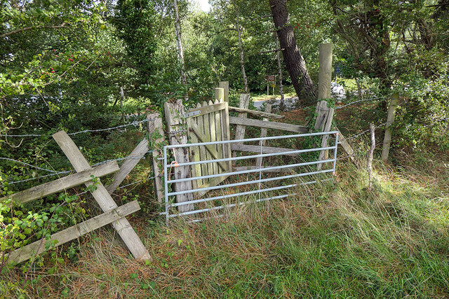
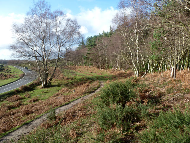
Duckmead Row is a charming residential area located in Hampshire, England. Situated in the midst of a lush wood and forest, it offers a picturesque and serene setting for residents seeking a tranquil lifestyle. The area is known for its natural beauty, with an abundance of trees, wildlife, and scenic walking trails.

The houses in Duckmead Row are predominantly traditional cottages and modern family homes, blending harmoniously with the surrounding natural environment. The properties often boast large gardens, providing ample space for outdoor activities and creating a sense of privacy and seclusion.

Residents of Duckmead Row benefit from the proximity to nature, with many enjoying leisurely walks through the nearby forest or engaging in outdoor recreational activities such as birdwatching and hiking. The wood and forest surrounding the area also offer a peaceful retreat for those seeking solace and relaxation.

Despite its peaceful setting, Duckmead Row is conveniently located near essential amenities. The nearby town of Hampshire provides shops, restaurants, and other services, ensuring that residents have easy access to daily necessities.

Overall, Duckmead Row in Hampshire offers a serene and idyllic living environment, perfect for those who appreciate the beauty of nature and desire a peaceful retreat from the hustle and bustle of city life. With its charming homes, picturesque surroundings, and close-knit community, it is a truly desirable place to call home.

If you have any feedback on the listing, please let us know in the comments section below.

Duckmead Row Images

Images are sourced within 2km of 50.867883/-1.4668703 or Grid Reference SU3707. Thanks to Geograph Open Source API. All images are credited.

Grassy plain east of Longdown Inclosure
Ponies south of Longdown Farm
Heathland near Longdown Inclosure
Cattle on the heath, Longdown
A typical New Forest scene At Longdown.
A typical New Forest scene
At Longdown.
Track between Long Down and Decoy Pond Farm
A field of harvested sweetcorn A fairly benign looking field, but when attempting to follow a public footpath around the edge, I slipped into a deep furrow and was trapped there in the mud for some 36 hours. A police team and dog eventually found me after establishing my location from the last 'ping' of my phone (which had been rendered useless by water).

After some 16 years of Geographing, I doubt that I shall again be exploring new ground 'off the beaten track', mostly at the exhortations of my family, but the event also shook my own confidence - we shall see if I can overcome that.

It's somewhat ironic that, after wild camping and exploring the wilds of Scotland, The Peaks, Snowdonia etc., it should be in an ordinary field in the county of my birth which has bought my 'wild' Geographing exploration to an end. 

This image was the last that I took before finding myself in my 'predicament'. Thankfully, I was able to rescue the memory cards from my ruined camera gear!
A field of harvested sweetcorn
A fairly benign looking field, but when attempting to follow a public footpath around the edge, I slipped into a deep furrow and was trapped there in the mud for some 36 hours. A police team and dog eventually found me after establishing my location from the last 'ping' of my phone (which had been rendered useless by water). After some 16 years of Geographing, I doubt that I shall again be exploring new ground 'off the beaten track', mostly at the exhortations of my family, but the event also shook my own confidence - we shall see if I can overcome that. It's somewhat ironic that, after wild camping and exploring the wilds of Scotland, The Peaks, Snowdonia etc., it should be in an ordinary field in the county of my birth which has bought my 'wild' Geographing exploration to an end. This image was the last that I took before finding myself in my 'predicament'. Thankfully, I was able to rescue the memory cards from my ruined camera gear!
Steps leading to a footpath which crosses farmland leading to Hangar Corner Leading away from the Marchwood Bypass. Although waymarked, the path is not well maintained and a barrier has been positioned on the other side of the gate in the centre of the view.
Steps leading to a footpath which crosses farmland leading to Hangar Corner
Leading away from the Marchwood Bypass. Although waymarked, the path is not well maintained and a barrier has been positioned on the other side of the gate in the centre of the view.
Barred footpath gateway - public footpath I was able to step over it - just. But it might have been better if I hadn't, given what followed a while later! See <a href="https://www.geograph.org.uk/photo/7305672">SU3908 : A field of harvested sweetcorn</a>. Marchwood bypass is just visible through the foliage.
Barred footpath gateway - public footpath
I was able to step over it - just. But it might have been better if I hadn't, given what followed a while later! See SU3908 : A field of harvested sweetcorn. Marchwood bypass is just visible through the foliage.
Twiggs Lane Straight on the lane becomes Twiggs Lane End, a dead end. The major route bends right to become Arters Lawn.
Twiggs Lane
Straight on the lane becomes Twiggs Lane End, a dead end. The major route bends right to become Arters Lawn.
New Forest ponies By the track to Longdown car park.
New Forest ponies
By the track to Longdown car park.
Path by Marchwood Inclosure It is certainly used by horses, but whether ridden or free ranging is hard to tell.
Path by Marchwood Inclosure
It is certainly used by horses, but whether ridden or free ranging is hard to tell.
Three strand path Between Marchwood Inclosure on the left and the road to Dibden.
Three strand path
Between Marchwood Inclosure on the left and the road to Dibden.
Forestry track, New Forest Not the usual forestry tack, as the woodland is rather remote, but the sign does say Forestry Commission.
Forestry track, New Forest
Not the usual forestry tack, as the woodland is rather remote, but the sign does say Forestry Commission.
Path through the trees near Farrant's Copse
Junction of paths on Yew Tree Heath
Path towards Decoy Pond Farm Saturated ground and waterlogged paths across Yew Tree Heath.
Path towards Decoy Pond Farm
Saturated ground and waterlogged paths across Yew Tree Heath.
Show me another place!

Duckmead Row is located at Grid Ref: SU3707 (Lat: 50.867883, Lng: -1.4668703)

Administrative County: Hampshire

District: New Forest

Police Authority: Hampshire

What 3 Words

///seats.powder.cakes. Near Marchwood, Hampshire

Related Wikis

Southampton F.C. Under-21s and Academy

Southampton F.C. Under-21s and Academy or Saints U21s and Academy is the youth organisation run by Southampton F.C. to encourage and develop young footballers...

Staplewood Campus

Staplewood Campus in Marchwood, Hampshire is the training ground of Southampton Football Club. It was the home ground of Road-Sea Southampton until 1987...

Marchwood railway station

Marchwood railway station was an intermediate station on the Totton, Hythe and Fawley Light Railway, which was built along the coast of Southampton Water...

Applemore College

Applemore College is a secondary school in Hampshire, England, situated in the village of Dibden Purlieu on the edge of the New Forest. It offers education...
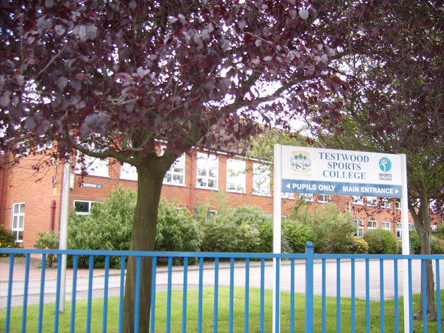
Testwood School

Testwood School (formerly Testwood Sports College) is a secondary school with academy status located in the town of Totton and Eling, England. The school...

Marchwood

Marchwood is a village and civil parish located in Hampshire, England. It lies between Totton and Hythe on the western shore of Southampton Water and directly...

New Forest Wildlife Park

The New Forest Wildlife Park (formerly The New Forest Otter, Owl and Wildlife Conservation Park) is located on the edge of The New Forest close to the...

Beaulieu Road railway station

Beaulieu Road railway station is located at the point where the South West Main Line from London Waterloo to Weymouth crosses the B3056 road from Beaulieu...

Nearby Amenities

Located within 500m of 50.867883,-1.4668703
Bridge: yes
Lat/Long: 50.8701743/-1.4687631
Created By: osmajax
Lat/Long: 50.8703764/-1.4716185
Created By: osmajax
Lat/Long: 50.8661698/-1.4715736
Created By: osmajax
Lat/Long: 50.8686426/-1.4710795
Created By: osmajax
Lat/Long: 50.8694669/-1.4714388
The data included in this document is from www.openstreetmap.org. The data is made available under ODbL.

Have you been to Duckmead Row?

Leave your review of Duckmead Row below (or comments, questions and feedback).