Doddington
Settlement in Northumberland
England
Doddington
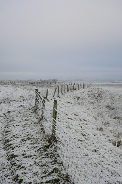
![Cuddy's Cave A prominent feature on the side of Dod Law, not to be confused with the much larger St Cuthbert's Cave near Holburn.
The devil hanged his grannie on "the bowed rock on the brae," a hanging crag, on the slope of Doddington Hill, that faces Wooler. It is a cavernous rock - one of Cuddy's or St. Cuthbert's coves - and has cut on its sides a few Runic characters, and on its top some of those mysterious cup-markings, ascribed to the ancient Britons, which are so frequent on this hill. On the summit of the rock, which is of sandstone, the rain gathers into little circular pools, which, being whirled about by the wind and partly filled with sand, are becoming deeper and deeper. They empty themselves when full along many deep gutters, round the brow of the rock, that resemble hollows made by ropes fraying the softer parts of the stone [...] - History of Berwickshire Naturalists' Club, vii., p75. - J. H.
This photograph was taken during the Coronavirus (COVID-19) pandemic of 2020/21/22.](https://s1.geograph.org.uk/geophotos/07/09/56/7095693_a683fea6.jpg)
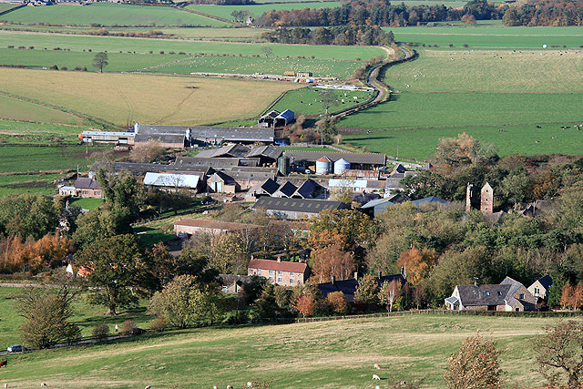
Doddington is a small village located in the county of Northumberland, England. Situated approximately 10 miles west of the town of Wooler, it lies in the northern part of the country, close to the border with Scotland. The village is part of the civil parish of Doddington and adjacent to the Cheviot Hills, offering stunning views of the surrounding countryside and a peaceful, rural setting.
Doddington is characterized by its quaint and picturesque atmosphere. It is home to a small community, with a population of around 150 residents. The village primarily consists of traditional stone houses and cottages, which add to its charm and historical appeal. The architecture in Doddington reflects its long history, with some buildings dating back several centuries.
Despite its small size, Doddington has a few amenities to cater to its residents. It boasts a village hall, which serves as a community center and hosts various events throughout the year. Additionally, there is a primary school in the village, providing education for local children. For more extensive facilities and services, residents can easily access nearby towns such as Wooler or Alnwick.
Doddington is surrounded by beautiful natural landscapes, making it an appealing destination for outdoor enthusiasts. The Cheviot Hills, which lie just to the west, offer ample opportunities for hiking, walking, and exploring the countryside. The village is also located close to the Northumberland National Park, renowned for its stunning scenery and diverse wildlife.
Overall, Doddington is a charming and tranquil village, offering a peaceful retreat for residents and visitors alike. Its idyllic setting, rich history, and proximity to natural beauty make it an attractive place to live or visit in Northumberland.
If you have any feedback on the listing, please let us know in the comments section below.
Doddington Images
Images are sourced within 2km of 55.586484/-2.0048118 or Grid Reference NT9932. Thanks to Geograph Open Source API. All images are credited.


Doddington is located at Grid Ref: NT9932 (Lat: 55.586484, Lng: -2.0048118)
Unitary Authority: Northumberland
Police Authority: Northumbria
What 3 Words
///skims.newlywed.enigma. Near Doddington, Northumberland
Nearby Locations
Related Wikis
Doddington, Northumberland
The village and parish of Doddington are on the east side of the Milfield Plain, nearly 3 miles north of the town of Wooler, in the county of Northumberland...

Nesbit, Northumberland
Nesbit is a hamlet and former civil parish, now in the parish of Doddington, Northumberland, England. It was once the site of a medieval village. In maps...
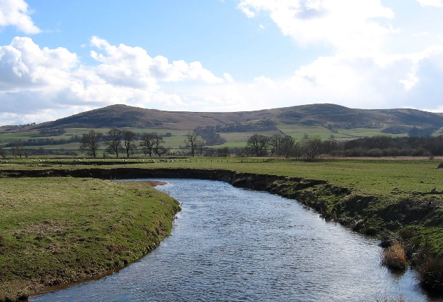
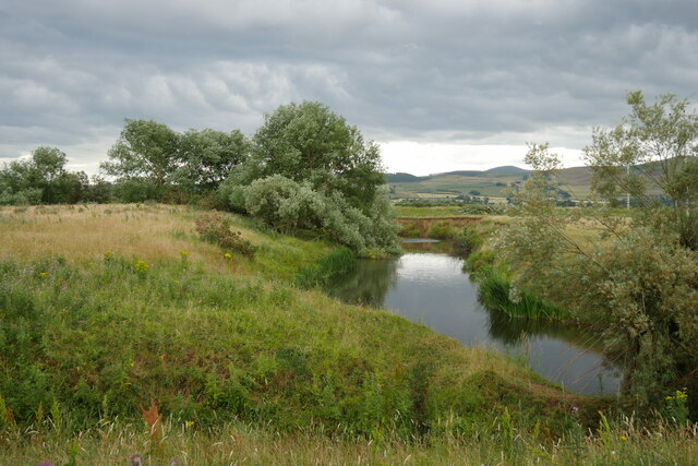
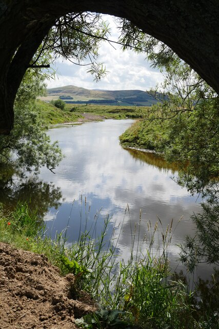
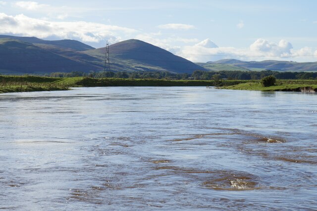
River Glen, Northumberland
The River Glen is a seven mile long tributary of the River Till flowing through Northumberland, England. The College Burn and Bowmont Water, both flowing...
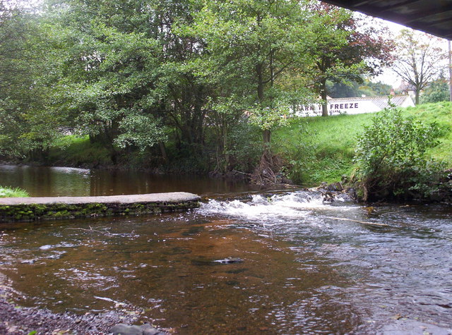
Wooler Water
Wooler Water is a stream that flows through Wooler in Northumberland, England. It is a tributary of the River Till and is 12 miles (20 km) in length. Its...
Nearby Amenities
Located within 500m of 55.586484,-2.0048118Have you been to Doddington?
Leave your review of Doddington below (or comments, questions and feedback).