Doddinghurst

Settlement in Essex Brentwood

England

Doddinghurst

Stondon Massey, Ongar Road: Semi-detached bungalows
Stondon Massey, Ongar Road: Semi-detached bungalows Credit: Michael Garlick

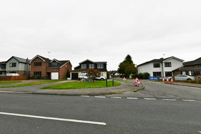
Doddinghurst is a village located in the county of Essex in the southeastern region of England. Situated approximately 25 miles northeast of London, it falls within the local government district of Brentwood. With a population of around 3,500 people, Doddinghurst retains a charming rural character while benefiting from its proximity to the capital.

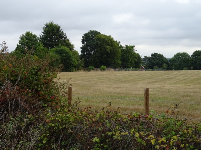
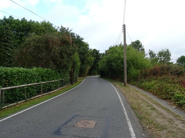
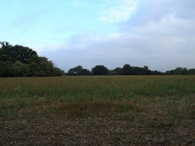
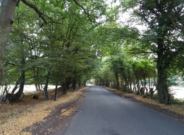
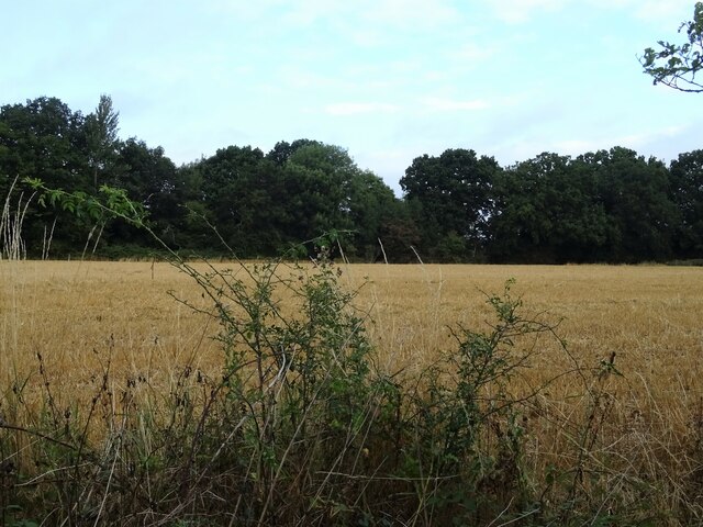
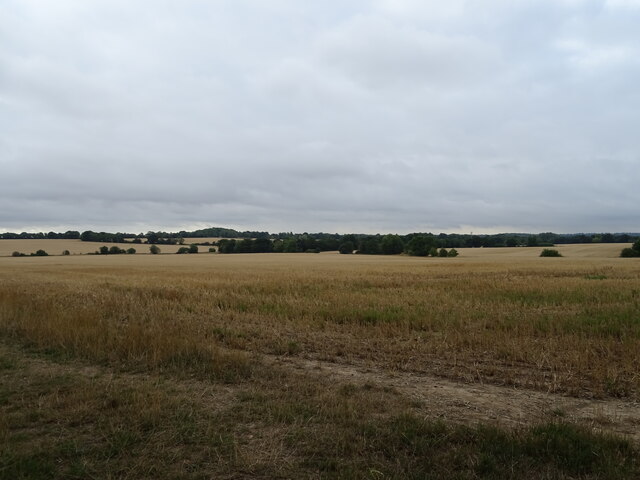
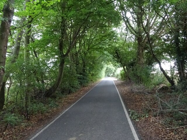
The village is surrounded by picturesque countryside, making it an attractive place for residents seeking a peaceful and idyllic setting. The landscape is characterized by rolling hills, open fields, and patches of woodland, providing ample opportunities for outdoor activities such as walking, cycling, and horse riding. Doddinghurst is also home to Doddinghurst Park, a large green space that includes a cricket ground and a children's play area.

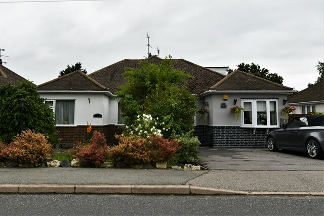
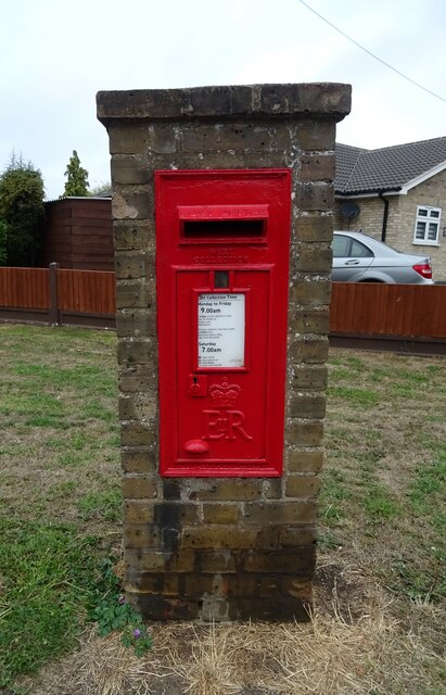
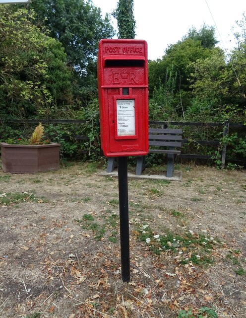
In terms of amenities, Doddinghurst offers a range of facilities for its residents. The village has a primary school, a church, and a local convenience store, providing essential services for everyday needs. Additionally, there are several pubs and restaurants in the area, offering a selection of dining options.

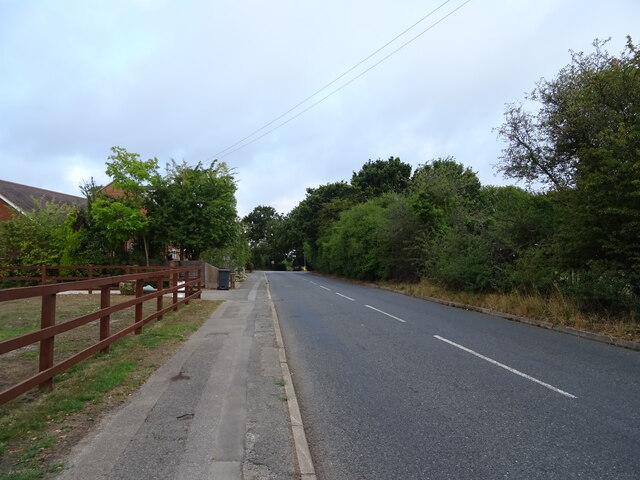
Transport links in Doddinghurst are well-connected, with easy access to major roads such as the A128 and M25 motorway, enabling convenient travel to nearby towns and cities. The village is served by regular bus services, facilitating commuting to surrounding areas.

Overall, Doddinghurst presents a desirable location for those seeking a peaceful and rural lifestyle within easy reach of urban amenities and transport links.

If you have any feedback on the listing, please let us know in the comments section below.
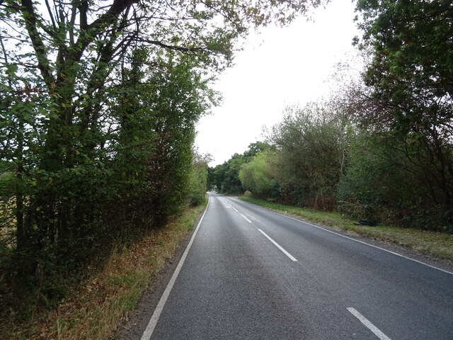
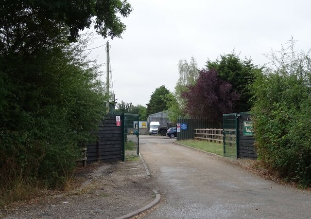
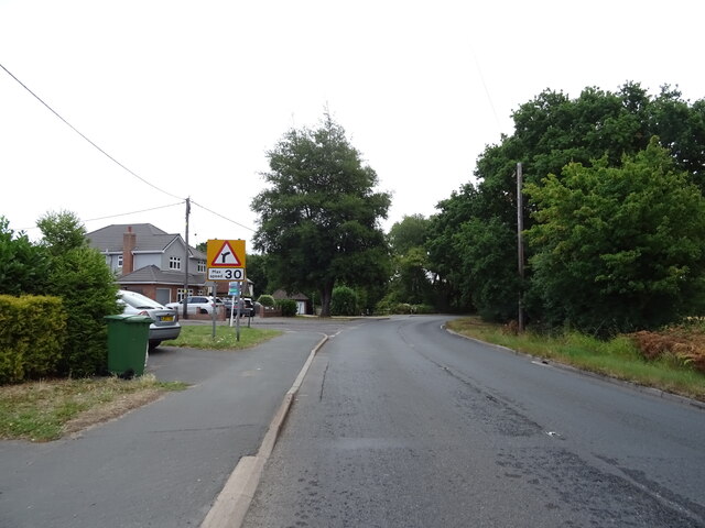
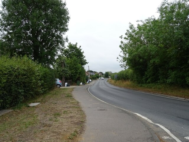
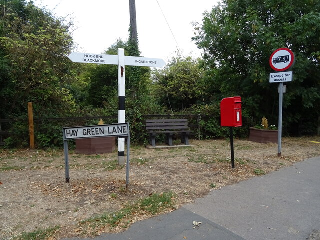
Doddinghurst Images

Images are sourced within 2km of 51.665098/0.301993 or Grid Reference TQ5998. Thanks to Geograph Open Source API. All images are credited.

Stondon Massey, Ongar Road: Semi-detached bungalows
Tipps Cross Lane Towards Tipps Cross.
Tipps Cross Lane
Towards Tipps Cross.
Cut silage field off Hook End Lane, Hook End
Looking north on Hook End Lane, Hook End
Wyatt's Green: Houses in Wyatt's Green Road
Farmland off School Road, Kelvedon Hatch
School Road, Kelvedon Hatch
Stubble field near Meadow Farm Off Blackmore Road.
Stubble field near Meadow Farm
Off Blackmore Road.
Blackmore Road near Meadow Farm Towards Hook End.
Blackmore Road near Meadow Farm
Towards Hook End.
Entrance to Meadow Farm Off Blackmore Road.
Entrance to Meadow Farm
Off Blackmore Road.
Bend and junction on Hook End Road, Hook End
Mill Lane Towards Wyatt's Green.
Mill Lane
Towards Wyatt's Green.
Stubble field off Hay Green Lane
Hay Green Lane Heading east.
Hay Green Lane
Heading east.
Stubble field towards woodland South of Hay Green Lane.
Stubble field towards woodland
South of Hay Green Lane.
Elizabeth II postbox on Hook End Road, Hook End Postbox No. CM15 100.
Elizabeth II postbox on Hook End Road, Hook End
Postbox No. CM15 100.
Elizabeth II postbox on Hay Green Lane Postbox No. CM15 87.
Elizabeth II postbox on Hay Green Lane
Postbox No. CM15 87.
Fingerpost and Elizabeth II postbox on Hay Green Lane Postbox No. CM15 87.
Fingerpost and Elizabeth II postbox on Hay Green Lane
Postbox No. CM15 87.
Show me another place!

Doddinghurst is located at Grid Ref: TQ5998 (Lat: 51.665098, Lng: 0.301993)

Administrative County: Essex

District: Brentwood

Police Authority: Essex

What 3 Words

///garage.sorry.stack. Near Kelvedon Hatch, Essex

Related Wikis

Doddinghurst

Doddinghurst is a village and civil parish in the Borough of Brentwood, in south Essex. It is 3 miles (5 km) to the north of Brentwood. == History == The...

Church of All Saints, Doddinghurst

The Church of All Saints is a Church of England parish church in Doddinghurst, Essex. The church is a Grade I listed building. == Notable clergy == Oswald...

Kelvedon Hatch

Kelvedon Hatch is a village and civil parish in the Borough of Brentwood in south Essex, England. It is situated just north of Pilgrims Hatch, approximately...

Blackmore, Hook End and Wyatts Green

Blackmore, Hook End and Wyatts Green is a civil parish in the Brentwood borough of Essex, England. According to the 2001 census it had a population of...

Nearby Amenities

Located within 500m of 51.665098,0.301993
Bus Stop
Appletree Close
Naptan AtcoCode: 150021016006
Naptan Bearing: E
Naptan CommonName: Appletree Close
Naptan Crossing: Appletree Close
Naptan Indicator: Adj
Naptan Landmark: Appletree Close
Naptan NaptanCode: esxgamdm
Naptan Street: Doddinghurst Road
Naptan Verified: no
Public Transport: platform
Source: naptan_import
Lat/Long: 51.66149/0.3042539
Appletree Close
Naptan AtcoCode: 1500210160Y6
Naptan Bearing: W
Naptan BusStopType: CUS
Naptan CommonName: Appletree Close
Naptan Crossing: Appletree Close
Naptan Indicator: Opp
Naptan Landmark: Appletree Close
Naptan NaptanCode: esxgpwjw
Naptan Street: Doddinghurst Road
Naptan Verified: no
Public Transport: platform
Source: naptan_import
Lat/Long: 51.661436/0.3042511
Bus Stop
All Saints Close
Naptan AtcoCode: 1500DGK0004
Naptan Bearing: SW
Naptan CommonName: All Saints Close
Naptan Crossing: All Saints Close
Naptan Indicator: Opp
Naptan Landmark: All Saints Close
Naptan NaptanCode: esxgmdgw
Naptan Street: Church Lane
Naptan Verified: no
Public Transport: platform
Source: naptan_import
Lat/Long: 51.6673833/0.2977134
Bus Stop
Peartree Lane
Naptan AtcoCode: 1500IM1436
Naptan Bearing: N
Naptan CommonName: Peartree Lane
Naptan Crossing: Peartree Lane
Naptan Indicator: Adj
Naptan Landmark: Peartree Lane
Naptan NaptanCode: esxgamdp
Naptan Street: Doddinghurst Road
Naptan Verified: no
Public Transport: platform
Source: naptan_import
Lat/Long: 51.6632906/0.301858
Bus Stop
Peartree Lane
Naptan AtcoCode: 1500IM1436B
Naptan Bearing: S
Naptan CommonName: Peartree Lane
Naptan Crossing: Peartree Lane
Naptan Indicator: Opp
Naptan Landmark: Peartree Lane
Naptan NaptanCode: esxgamdt
Naptan Street: Doddinghurst Road
Naptan Verified: no
Public Transport: platform
Source: naptan_import
Lat/Long: 51.6640905/0.301884
Bus Stop
The Barn
Naptan AtcoCode: 1500IM552
Naptan Bearing: SE
Naptan CommonName: The Barn
Naptan Indicator: o/s
Naptan Landmark: The Barn
Naptan NaptanCode: esxgamdw
Naptan Street: Doddinghurst Road
Naptan Verified: no
Public Transport: platform
Source: naptan_import
Lat/Long: 51.6674341/0.2996818
Post Box
Doddinghurst Post Office's Post Box
Lat/Long: 51.6638276/0.3019227
Doddinghurst Post Office (and store)
Shop: convenience
Lat/Long: 51.6637956/0.3021888
Post Box
Post Box Type: pillar
Royal Cypher: EIIR
Lat/Long: 51.6678522/0.2992963
Parking
Lat/Long: 51.6675648/0.2979316
Parking
Lat/Long: 51.6672134/0.2977514
Pharmacy
Lat/Long: 51.6676393/0.2977428
Budgens
Brand: Budgens
Brand Wikidata: Q4985016
Shop: supermarket
Website: https://www.budgens.co.uk/our-stores/doddinghurst
Lat/Long: 51.6677511/0.2981462
Doddinghurst
Is In: Essex, England, UK
Place: village
Lat/Long: 51.6656185/0.298785
Barrier: kissing_gate
Foot: yes
Source: gps
Lat/Long: 51.6618648/0.3014037
Peartree Green
Place: locality
Lat/Long: 51.664885/0.3087626
Bus Stop
The Barn
Naptan AtcoCode: 1500IM552Y
Naptan BusStopType: CUS
Naptan NaptanCode: esxjmajw
Naptan Verified: no
Public Transport: platform
Source: naptan
Lat/Long: 51.6673732/0.2996183
The data included in this document is from www.openstreetmap.org. The data is made available under ODbL.

Have you been to Doddinghurst?

Leave your review of Doddinghurst below (or comments, questions and feedback).