Doddenham
Settlement in Worcestershire Malvern Hills
England
Doddenham
Doddenham is a small village located in the county of Worcestershire, England. Situated approximately 10 miles west of the city of Worcester, Doddenham is nestled in a picturesque rural setting, surrounded by rolling hills and farmland. The village falls within the Malvern Hills District and has a population of around 300 residents.
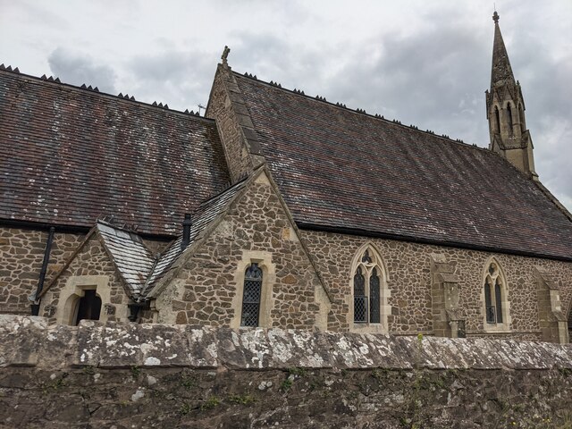
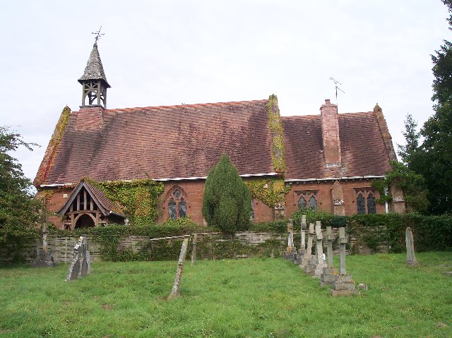
Doddenham boasts a rich history, with evidence of human settlement dating back to the Bronze Age. The village is characterized by its charming traditional architecture, consisting of a mix of timber-framed cottages and red-brick houses. There is also a historic church, St. John the Baptist, which dates back to the 12th century and features stunning stained-glass windows and intricate stone carvings.
Despite its small size, Doddenham is a vibrant community with a strong sense of local pride. The village is home to a range of amenities, including a village hall, where various community events and activities take place. There is also a primary school, ensuring that families have access to education within the village.
Doddenham enjoys a peaceful and tranquil atmosphere, making it an ideal destination for those seeking an escape from the hustle and bustle of city life. The surrounding countryside offers ample opportunities for outdoor activities, such as hiking, cycling, and horse riding. The nearby Malvern Hills, an Area of Outstanding Natural Beauty, provide stunning panoramic views and attract visitors from far and wide.
In summary, Doddenham is a charming village in Worcestershire, known for its historical significance, beautiful architecture, and idyllic rural surroundings.
If you have any feedback on the listing, please let us know in the comments section below.
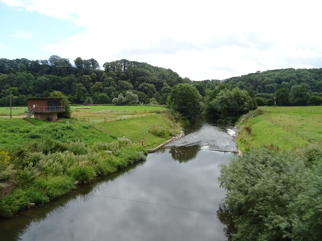
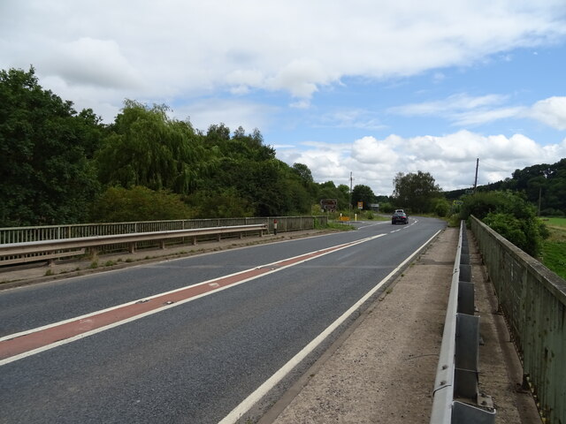
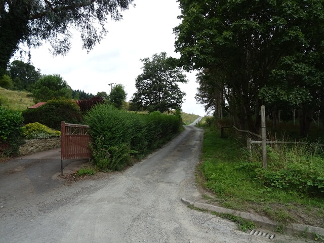
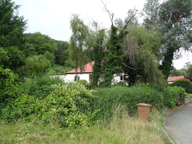
Doddenham Images
Images are sourced within 2km of 52.203891/-2.363334 or Grid Reference SO7556. Thanks to Geograph Open Source API. All images are credited.


Doddenham is located at Grid Ref: SO7556 (Lat: 52.203891, Lng: -2.363334)
Administrative County: Worcestershire
District: Malvern Hills
Police Authority: West Mercia
What 3 Words
///throat.exposing.slimy. Near Lower Broadheath, Worcestershire
Nearby Locations
Related Wikis

Doddenham
Doddenham is a hamlet and civil parish (with Knightwick) in the Malvern Hills district in the county of Worcestershire, England. Doddenham was in the...

Stanford with Orleton
Stanford with Orleton is a civil parish in the Malvern Hills district, in the county of Worcestershire, England. The parish comprises the villages of Stanford...
Lulsley
Lulsley is a village and civil parish in the Malvern Hills District of the county of Worcestershire, England, UK. == History == Lulsley was in the upper...
Broadwas
Broadwas, or Broadwas-on-Teme, is a village and civil parish (with Cotheridge) in the Malvern Hills district of Worcestershire, England. According to...

Ankerdine Hill
Ankerdine Hill is a hill with a summit at 149 metres (489 ft) above sea level, in the civil parish of Doddenham in the Malvern Hills district of Worcestershire...

Osebury Rock
Osebury Rock (also known as Oseberrow or Rosebury) is a cliff on the River Teme near Lulsley in Worcestershire, England where fragmentary rocks of the...

Knightwick railway station
Knightwick railway station was a station in Knightwick, Worcestershire, England. The station was opened on 2 May 1874 and closed on 7 September 1964....

Berrow Green
Berrow Green is a village in Worcestershire, England. == Berrow Hill Camp == Berrow Green is situated just below Berrow Hill Camp, an Iron Age encampment...
Related Videos
Malvern Hills British camp
dicoverworcestershire.

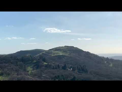
Malvern Hills' aerial beauty by drone
Legends of the Hillside • Co-credit to Mark Espley for drone piloting, sound recording and piano performance of Hopeful by The ...
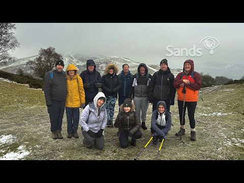
B123 Mini Malvern Hills 18th December 2022
Our December walks 2022 are raising money for Sands (Stillbirth and Neonatal Death Charity) Please donate here: ...

The Rodney hotel dogs friendly place travelling around Malvern hills
Amazing hotel if you travel with dog a lot of walking places around new refurbished rooms all very clean it's definitely worth every ...
Nearby Amenities
Located within 500m of 52.203891,-2.363334Have you been to Doddenham?
Leave your review of Doddenham below (or comments, questions and feedback).