Pigtrough Copse

Wood, Forest in Wiltshire

England

Pigtrough Copse

Farmland, Buttermere A cereal crop and shallow dry valley to the west of Heath Lane.
Farmland, Buttermere Credit: Andrew Smith

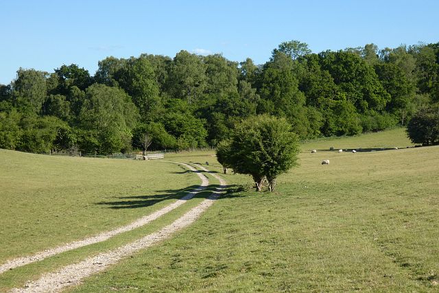
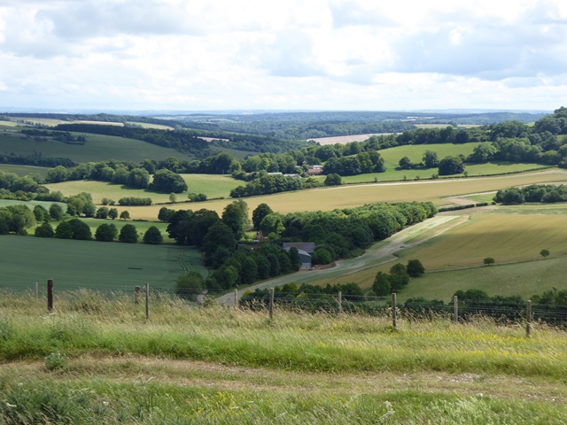
Pigtrough Copse is a picturesque woodland located in the county of Wiltshire, England. Situated near the village of East Kennett, this charming forest covers an area of approximately 25 acres and offers a tranquil escape from the bustling city life.

The copse is predominantly composed of deciduous trees, including oak, beech, and ash, which create a dense canopy, providing a cool and shady environment during the hot summer months. The forest floor is covered in a rich carpet of mosses, ferns, and wildflowers, adding to the beauty and diversity of the landscape.

Pigtrough Copse is known for its abundance of wildlife, making it a popular spot for nature enthusiasts and birdwatchers. The woodland is home to a variety of bird species, including woodpeckers, owls, and songbirds, which can be heard chirping and singing throughout the day. Squirrels, badgers, and foxes can also be spotted roaming the forest, adding to the enchanting atmosphere.

The copse is crisscrossed by a network of well-maintained footpaths, allowing visitors to explore the woodland and discover its hidden treasures. There are also several picnic areas and benches scattered throughout the forest, providing the perfect opportunity to relax and enjoy the peaceful surroundings.

Overall, Pigtrough Copse is a delightful woodland retreat, offering visitors a chance to immerse themselves in nature and experience the beauty of the English countryside. Whether it's a leisurely stroll or an afternoon picnic, this idyllic forest is a true gem waiting to be discovered.

If you have any feedback on the listing, please let us know in the comments section below.

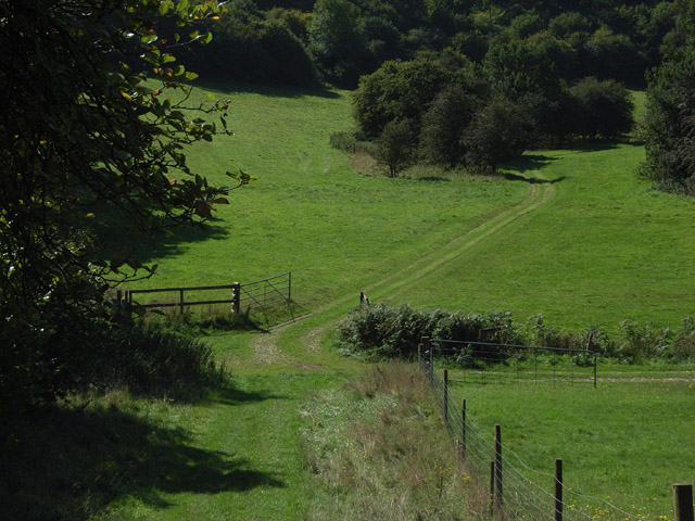
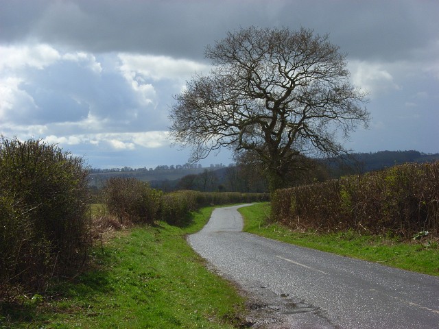
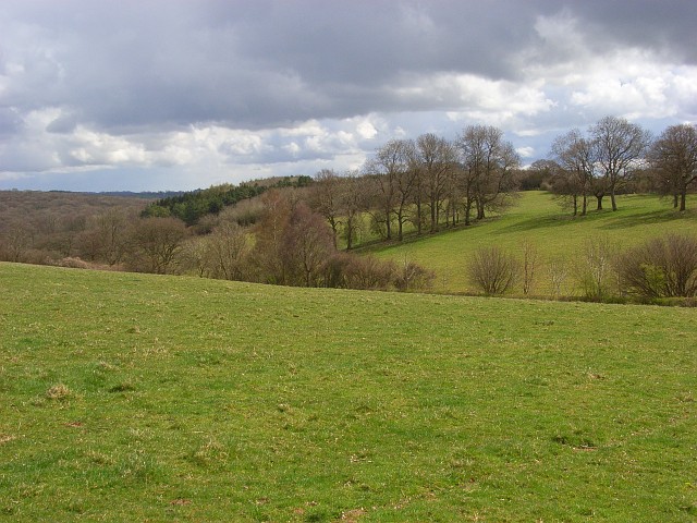
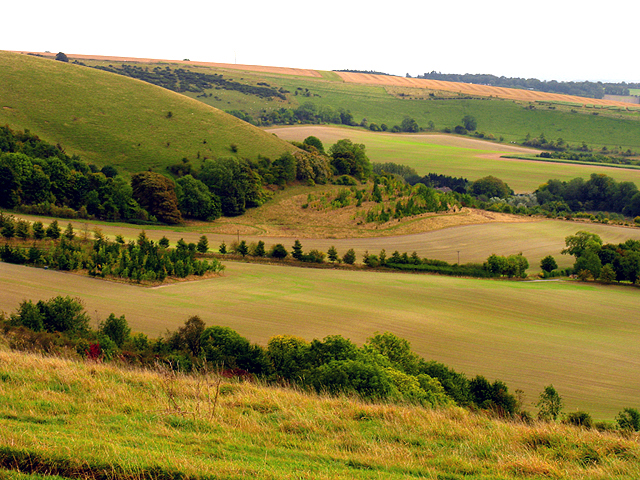
Pigtrough Copse Images

Images are sourced within 2km of 51.350671/-1.4993131 or Grid Reference SU3461. Thanks to Geograph Open Source API. All images are credited.

Farmland, Buttermere A cereal crop and shallow dry valley to the west of Heath Lane.
Farmland, Buttermere
A cereal crop and shallow dry valley to the west of Heath Lane.
Pasture, Buttermere A bridleway approaching the junction of paths below Rockmoor Down.
Pasture, Buttermere
A bridleway approaching the junction of paths below Rockmoor Down.
Timber from Buttermere Wood
Descending the Test Way Approaching a crossroads of paths with the Test Way continuing to the left at the foot of this hill.
Descending the Test Way
Approaching a crossroads of paths with the Test Way continuing to the left at the foot of this hill.
Path crossroads on the Test Way
Lane junction on Hungerford Road
Footpath to Ballyack House
On the Test Way near Buttermere The route has wandered some way from the river, out of Hampshire and along the Berkshire/Wiltshire boundary. It is strange to see Hampshire County Council waymarkers here. The path, which links up with the Wayfarers' Walk between Gallows Down and Walbury Hill, turns left here into Combe Wood.
On the Test Way near Buttermere
The route has wandered some way from the river, out of Hampshire and along the Berkshire/Wiltshire boundary. It is strange to see Hampshire County Council waymarkers here. The path, which links up with the Wayfarers' Walk between Gallows Down and Walbury Hill, turns left here into Combe Wood.
Beside Combe Wood The Test Way descends between the trees opposite.
Beside Combe Wood
The Test Way descends between the trees opposite.
Buttermere to Vernham Dean road Heading towards Upper Horns Farm from the junction with the road to Linkenholt.
Buttermere to Vernham Dean road
Heading towards Upper Horns Farm from the junction with the road to Linkenholt.
Rockmoor Down Looking across the top of a dry valley. In the background is the extensive Combe Wood.
Rockmoor Down
Looking across the top of a dry valley. In the background is the extensive Combe Wood.
Rockmoor Down This track is a private one that runs alongside the byway (Heath Lane) which is to the right of the hedge.
Rockmoor Down
This track is a private one that runs alongside the byway (Heath Lane) which is to the right of the hedge.
View south from Combe Gibbet Wright's Farm <a href="https://www.geograph.org.uk/gridref/SU3661">SU3661</a> lies in the dry valley below.
View south from Combe Gibbet
Wright's Farm SU3661 lies in the dry valley below.
On top of the world Combe Gibbet on Inkpen Hill with superb views over the Kennet valley.
On top of the world
Combe Gibbet on Inkpen Hill with superb views over the Kennet valley.
Gate to Combe Gibbet It is apparent from one of the notices that the hill is well used by paragliders and hang gliders.
Gate to Combe Gibbet
It is apparent from one of the notices that the hill is well used by paragliders and hang gliders.
Track to Combe Gibbet The well-used chalky track from the car park and road junction up to Combe Gibbet.
Track to Combe Gibbet
The well-used chalky track from the car park and road junction up to Combe Gibbet.
Downland, Buttermere In the dry valley to the west of Sheepless Hill.
Downland, Buttermere
In the dry valley to the west of Sheepless Hill.
Downland, Buttermere The footpath descending into Buttermere Bottom from Sheepless Hill.
Downland, Buttermere
The footpath descending into Buttermere Bottom from Sheepless Hill.
Show me another place!

Pigtrough Copse is located at Grid Ref: SU3461 (Lat: 51.350671, Lng: -1.4993131)

Unitary Authority: Wiltshire

Police Authority: Wiltshire

What 3 Words

///trainers.camcorder.crop. Near Shalbourne, Wiltshire

Related Wikis

Inkpen Hill

Inkpen Hill is a summit in Berkshire, England, with a maximum elevation of 291 m (955 ft). The hill is about 7 miles (11 km) southwest of Newbury on the...

Buttermere, Wiltshire

Buttermere is a small village and civil parish on the eastern boundary of Wiltshire, England, about 4.5 miles (7 km) south of Hungerford and 10 miles...
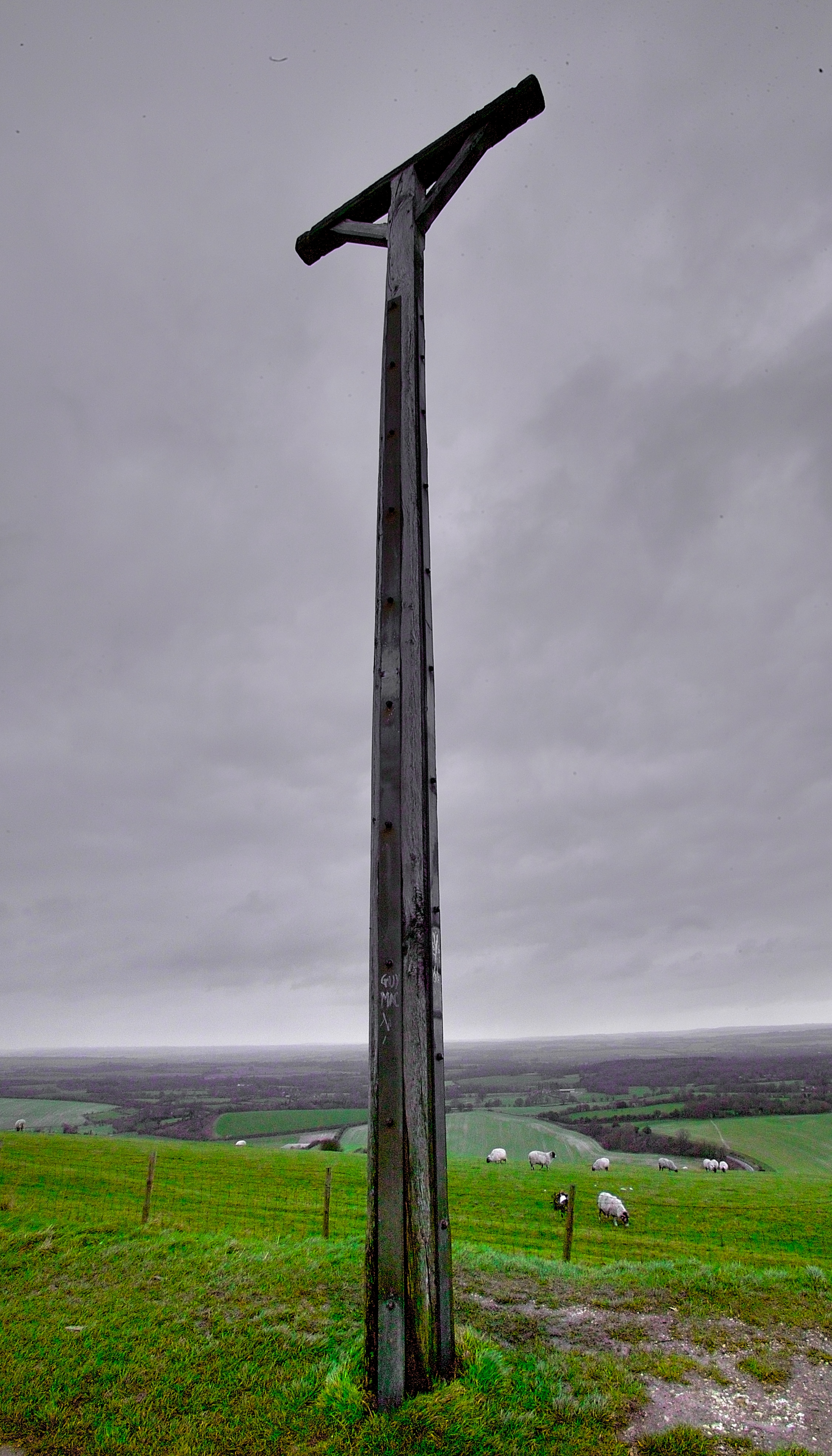
Combe Gibbet

Combe Gibbet is a gibbet at the top of Gallows Down, near the village and just within the civil parish of Combe in Berkshire (formerly Hampshire), England...

Inkpen and Walbury Hills

Inkpen and Walbury Hills is an 86.8-hectare (214-acre) biological Site of Special Scientific Interest south of Kintbury in Berkshire. The site is situated...

Have you been to Pigtrough Copse?

Leave your review of Pigtrough Copse below (or comments, questions and feedback).