Long Covert

Wood, Forest in Wiltshire

England

Long Covert

Farmland, Buttermere A cereal crop and shallow dry valley to the west of Heath Lane.
Farmland, Buttermere Credit: Andrew Smith

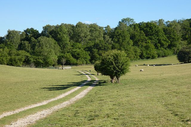
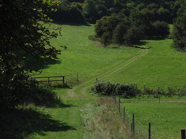
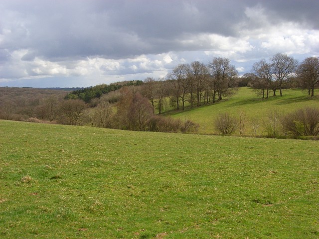
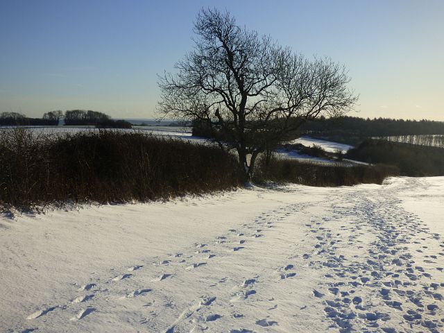
Long Covert is a quaint woodland located in the county of Wiltshire, England. Situated in the heart of the county, it covers an area of approximately 50 acres and is considered one of the most picturesque forests in the region. The woodland is known for its dense canopy of trees, which primarily consists of oak, beech, and ash, creating a vibrant and diverse ecosystem.

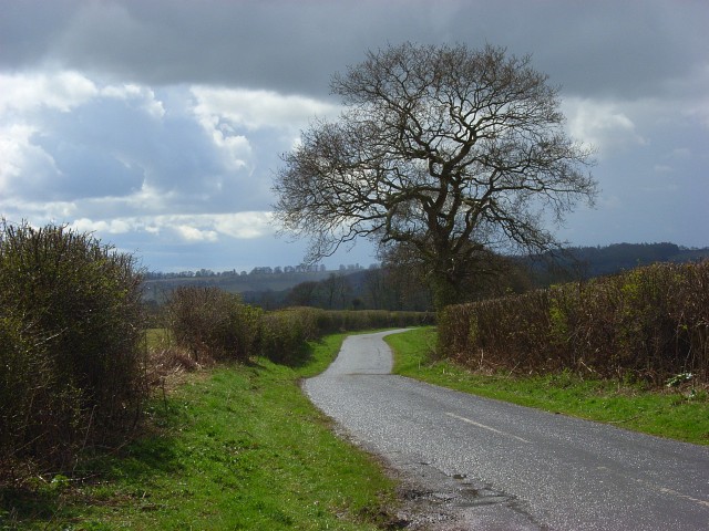
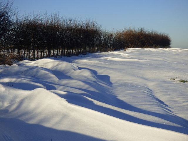
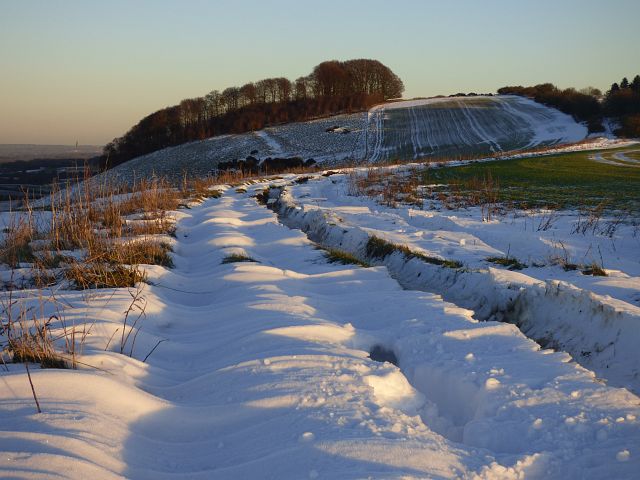
Long Covert offers a tranquil escape from the bustling city life, attracting nature enthusiasts, hikers, and families looking to connect with nature. The forest boasts a network of well-maintained footpaths, allowing visitors to explore the area and enjoy the beauty of the surroundings. These paths lead through a variety of habitats, including meadows, streams, and glades, providing an opportunity to witness a wide range of flora and fauna.

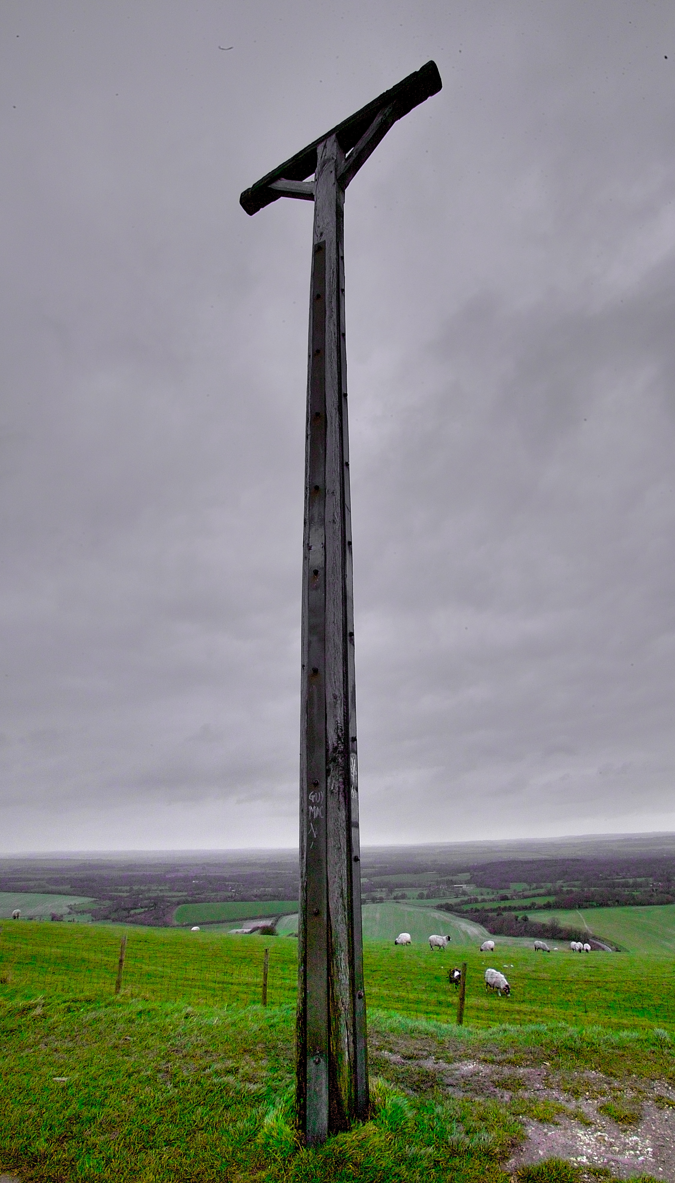
The woodland is home to an array of wildlife, including deer, badgers, foxes, and numerous bird species. It is a designated Site of Special Scientific Interest (SSSI) due to its diverse ecosystem and the presence of rare plant species. This status ensures that the woodland is carefully managed and preserved to protect its unique biodiversity.

Long Covert also holds historical significance, with evidence of human activity dating back to the Neolithic period. Remnants of ancient settlements and burial mounds have been discovered within the forest, adding an extra layer of intrigue to its natural beauty.

Overall, Long Covert in Wiltshire is a hidden gem for nature lovers, offering a serene escape and a chance to immerse oneself in the beauty of the English countryside.

If you have any feedback on the listing, please let us know in the comments section below.

Long Covert Images

Images are sourced within 2km of 51.352105/-1.5067072 or Grid Reference SU3461. Thanks to Geograph Open Source API. All images are credited.

Farmland, Buttermere A cereal crop and shallow dry valley to the west of Heath Lane.
Farmland, Buttermere
A cereal crop and shallow dry valley to the west of Heath Lane.
Pasture, Buttermere A bridleway approaching the junction of paths below Rockmoor Down.
Pasture, Buttermere
A bridleway approaching the junction of paths below Rockmoor Down.
Descending the Test Way Approaching a crossroads of paths with the Test Way continuing to the left at the foot of this hill.
Descending the Test Way
Approaching a crossroads of paths with the Test Way continuing to the left at the foot of this hill.
Path crossroads on the Test Way
Lane junction on Hungerford Road
Footpath to Ballyack House
On the Test Way near Buttermere The route has wandered some way from the river, out of Hampshire and along the Berkshire/Wiltshire boundary. It is strange to see Hampshire County Council waymarkers here. The path, which links up with the Wayfarers' Walk between Gallows Down and Walbury Hill, turns left here into Combe Wood.
On the Test Way near Buttermere
The route has wandered some way from the river, out of Hampshire and along the Berkshire/Wiltshire boundary. It is strange to see Hampshire County Council waymarkers here. The path, which links up with the Wayfarers' Walk between Gallows Down and Walbury Hill, turns left here into Combe Wood.
Buttermere to Vernham Dean road Heading towards Upper Horns Farm from the junction with the road to Linkenholt.
Buttermere to Vernham Dean road
Heading towards Upper Horns Farm from the junction with the road to Linkenholt.
Rockmoor Down Looking across the top of a dry valley. In the background is the extensive Combe Wood.
Rockmoor Down
Looking across the top of a dry valley. In the background is the extensive Combe Wood.
Rockmoor Down This track is a private one that runs alongside the byway (Heath Lane) which is to the right of the hedge.
Rockmoor Down
This track is a private one that runs alongside the byway (Heath Lane) which is to the right of the hedge.
Downland, Buttermere In the dry valley to the west of Sheepless Hill.
Downland, Buttermere
In the dry valley to the west of Sheepless Hill.
Downland, Buttermere The footpath descending into Buttermere Bottom from Sheepless Hill.
Downland, Buttermere
The footpath descending into Buttermere Bottom from Sheepless Hill.
Farmland, Inkpen A bridleway in arable farmland on the relative flat southern flank of Inkpen Hill.
Farmland, Inkpen
A bridleway in arable farmland on the relative flat southern flank of Inkpen Hill.
Farmland, Inkpen A bridleway making its way south from the crest of the downs on Inkpen Hill.
Farmland, Inkpen
A bridleway making its way south from the crest of the downs on Inkpen Hill.
Farmland, Combe The previous day's snow, though not generally very deep, had been accompanied by strong winds, creating fairly large drifts, as here on the leeward side of a hedge.
Farmland, Combe
The previous day's snow, though not generally very deep, had been accompanied by strong winds, creating fairly large drifts, as here on the leeward side of a hedge.
Farmland, Combe Drifted snow on the leeward side of a hedge.
Farmland, Combe
Drifted snow on the leeward side of a hedge.
Byway, Buttermere A northerly wind had deposited soft drifted snow within the confines of the bridleway whereas the arable fields here only had shallow cover with the cereal crops showing through.
Byway, Buttermere
A northerly wind had deposited soft drifted snow within the confines of the bridleway whereas the arable fields here only had shallow cover with the cereal crops showing through.
Byway, Buttermere The rutted and muddy byway on the crest on Ham Hill lies beneath a layer of drifted snow.
Byway, Buttermere
The rutted and muddy byway on the crest on Ham Hill lies beneath a layer of drifted snow.
Show me another place!

Long Covert is located at Grid Ref: SU3461 (Lat: 51.352105, Lng: -1.5067072)

Unitary Authority: Wiltshire

Police Authority: Wiltshire

What 3 Words

///distorts.flips.graphics. Near Shalbourne, Wiltshire

Related Wikis

Buttermere, Wiltshire

Buttermere is a small village and civil parish on the eastern boundary of Wiltshire, England, about 4.5 miles (7 km) south of Hungerford and 10 miles...

Inkpen Hill

Inkpen Hill is a summit in Berkshire, England, with a maximum elevation of 291 m (955 ft). The hill is about 7 miles (11 km) southwest of Newbury on the...

Ham Hill, Wiltshire

Ham Hill is a hill and area of chalk downland in Wiltshire, England, on the steep banks running alongside the road from the village of Ham to Buttermere...

Combe Gibbet

Combe Gibbet is a gibbet at the top of Gallows Down, near the village and just within the civil parish of Combe in Berkshire (formerly Hampshire), England...

Nearby Amenities

Located within 500m of 51.352105,-1.5067072
Ham Hill
Ele: 261
Natural: peak
Lat/Long: 51.3548796/-1.5119616
Buttermere Botttom
Place: locality
Lat/Long: 51.3480529/-1.5058639
The data included in this document is from www.openstreetmap.org. The data is made available under ODbL.

Have you been to Long Covert?

Leave your review of Long Covert below (or comments, questions and feedback).