Three Cornered Covert
Wood, Forest in Wiltshire
England
Three Cornered Covert
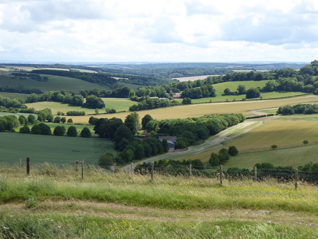
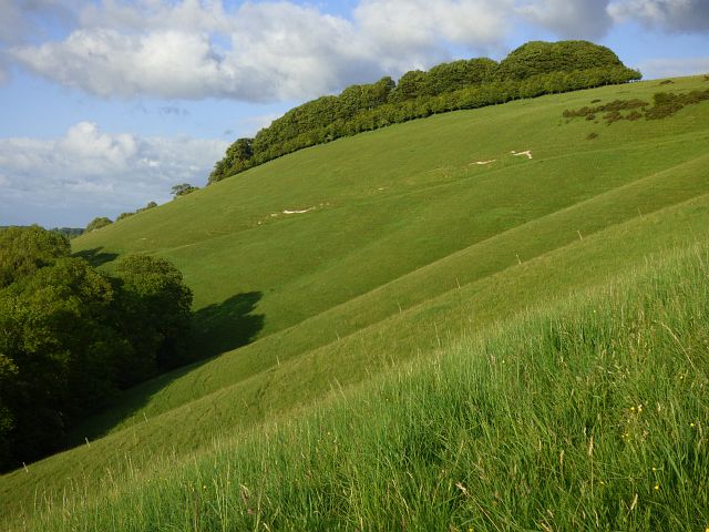
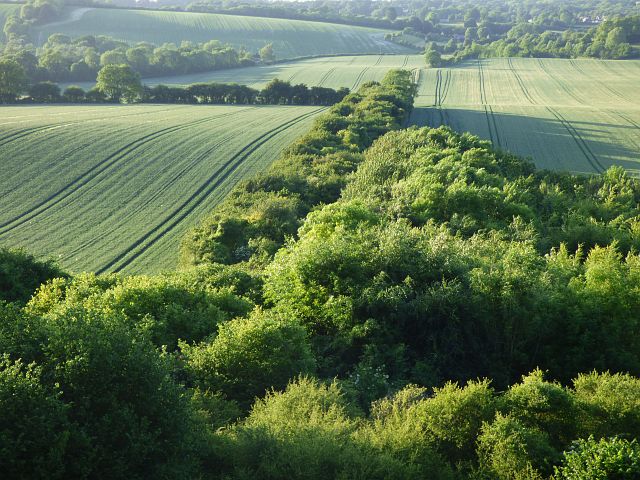
Three Cornered Covert is a sprawling woodland located in the county of Wiltshire, England. Covering an area of approximately 150 acres, it is a prominent feature in the landscape of the region. The woodland is situated near the village of Wood, in close proximity to the larger town of Forest.
Three Cornered Covert is characterized by its diverse range of flora and fauna. The woodland is predominantly composed of deciduous trees, including oak, birch, and beech, which create a dense canopy overhead. This creates a cool and shaded environment, providing a suitable habitat for a variety of wildlife species.
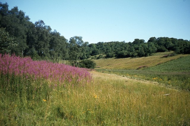
The woodland is crisscrossed by a network of footpaths and trails, making it a popular destination for outdoor enthusiasts. These paths wind their way through the trees, offering visitors the opportunity to explore the natural beauty of the area. Along the trails, one can find an abundance of wildflowers, adding a splash of color to the green surroundings.
The tranquil atmosphere of Three Cornered Covert makes it an ideal location for nature lovers and those seeking a peaceful retreat. The woodland is also home to a number of bird species, making it a haven for birdwatchers. Visitors may be lucky enough to spot species such as woodpeckers, owls, and various songbirds.
Overall, Three Cornered Covert is a picturesque woodland that offers a captivating experience for anyone who appreciates the beauty of nature. Its rich biodiversity and peaceful ambiance make it a treasure in the heart of Wiltshire.
If you have any feedback on the listing, please let us know in the comments section below.
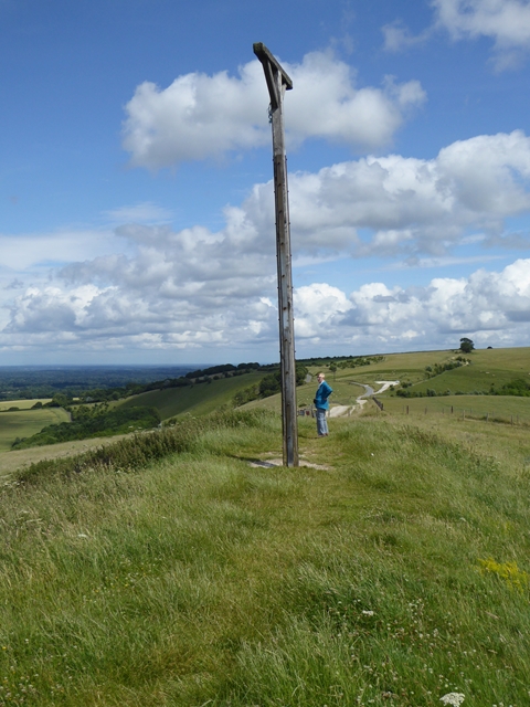
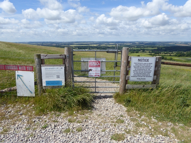
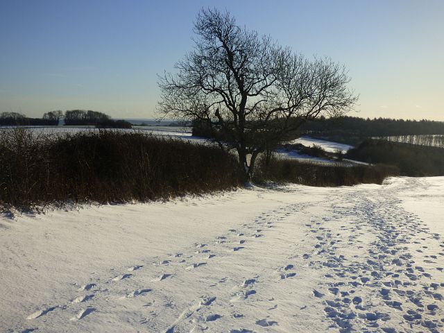
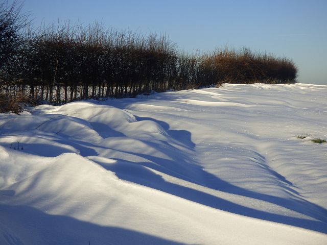
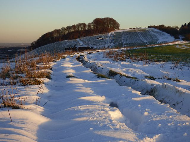
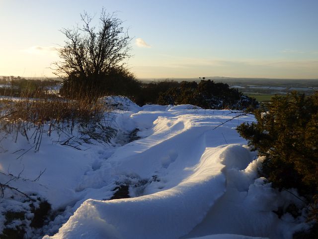
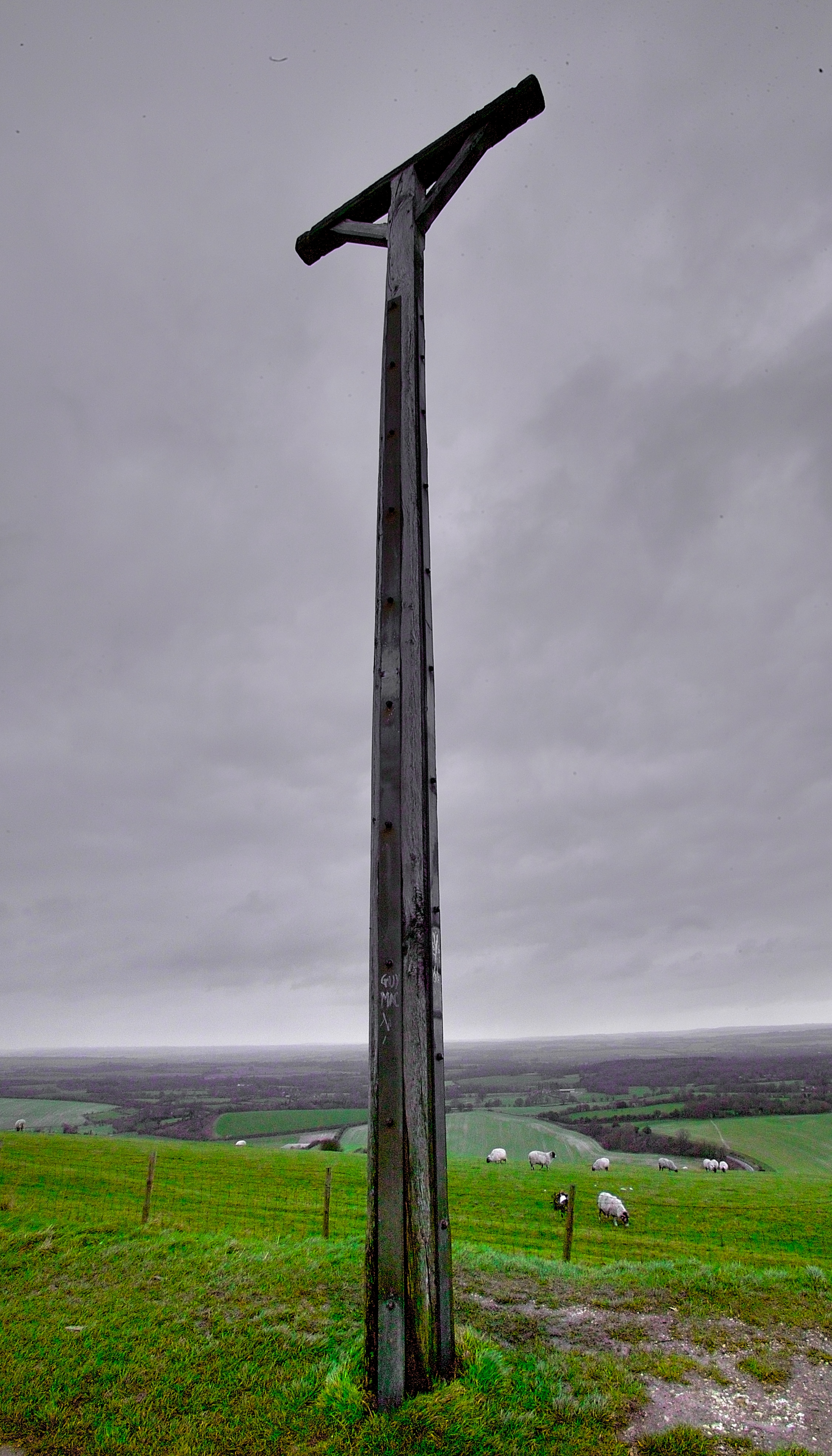
Three Cornered Covert Images
Images are sourced within 2km of 51.354886/-1.5050977 or Grid Reference SU3461. Thanks to Geograph Open Source API. All images are credited.


Three Cornered Covert is located at Grid Ref: SU3461 (Lat: 51.354886, Lng: -1.5050977)
Unitary Authority: Wiltshire
Police Authority: Wiltshire
What 3 Words
///unrealistic.invoices.zoom. Near Shalbourne, Wiltshire
Nearby Locations
Related Wikis

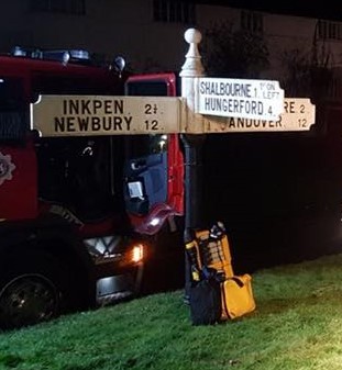
Inkpen Hill
Inkpen Hill is a summit in Berkshire, England, with a maximum elevation of 291 m (955 ft). The hill is about 7 miles (11 km) southwest of Newbury on the...

Buttermere, Wiltshire
Buttermere is a small village and civil parish on the eastern boundary of Wiltshire, England, about 4.5 miles (7 km) south of Hungerford and 10 miles...

Ham Hill, Wiltshire
Ham Hill is a hill and area of chalk downland in Wiltshire, England, on the steep banks running alongside the road from the village of Ham to Buttermere...
Combe Gibbet
Combe Gibbet is a gibbet at the top of Gallows Down, near the village and just within the civil parish of Combe in Berkshire (formerly Hampshire), England...
Nearby Amenities
Located within 500m of 51.354886,-1.5050977Have you been to Three Cornered Covert?
Leave your review of Three Cornered Covert below (or comments, questions and feedback).