Dine's Copse

Wood, Forest in Hampshire Test Valley

England

Dine's Copse

The Fox Inn, Tangley, Hampshire
The Fox Inn, Tangley, Hampshire Credit: Oswald Bertram

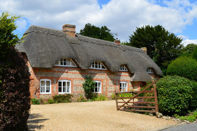
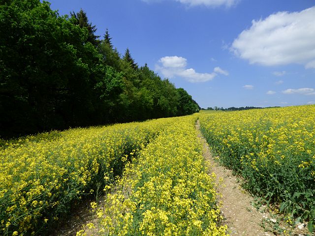
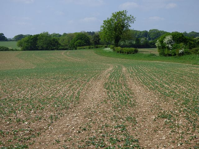
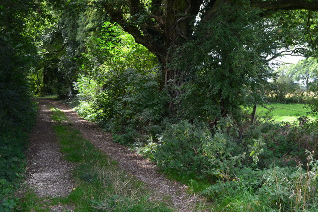
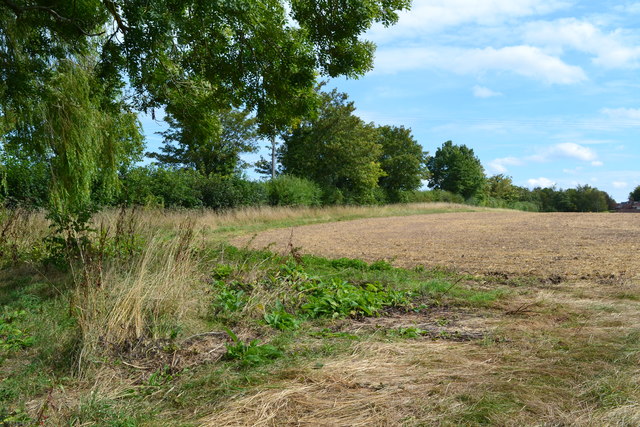
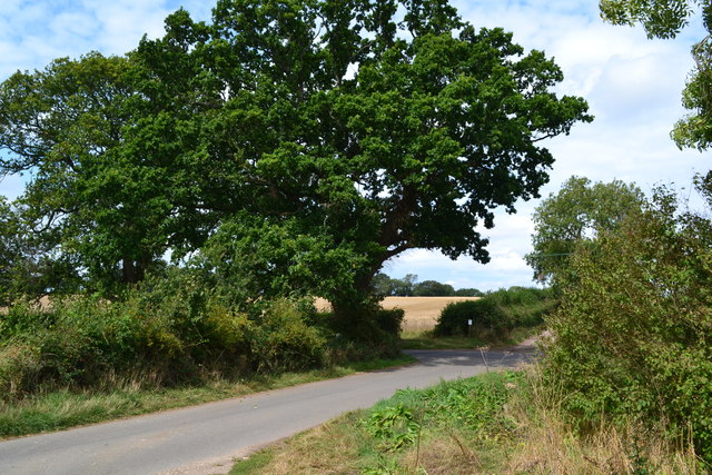
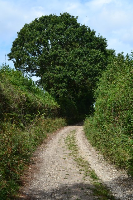
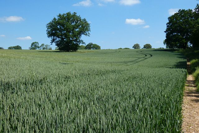
Dine's Copse is a picturesque woodland located in the county of Hampshire, England. Situated near the village of Dibden Purlieu, this enchanting copse covers an area of approximately 50 acres, making it an ideal destination for nature lovers and outdoor enthusiasts alike.

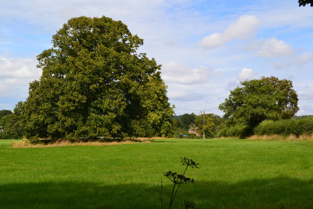
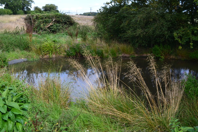
The copse is primarily composed of a mix of deciduous and coniferous trees, creating a diverse and vibrant ecosystem. Oak, beech, and birch trees dominate the landscape, providing a rich habitat for a variety of wildlife species. The forest floor is adorned with a carpet of bluebells and other wildflowers during the spring months, further enhancing the copse's natural beauty.

Tranquil walking trails meander through Dine's Copse, allowing visitors to explore its enchanting surroundings. These paths are well-maintained and suitable for all ages and fitness levels, making it accessible to families and individuals alike. The copse also offers a picnic area, providing visitors with the opportunity to relax and enjoy the peaceful ambiance of the woodland.

Dine's Copse is renowned for its diverse bird population, attracting birdwatching enthusiasts throughout the year. Species such as woodpeckers, tits, and finches can often be spotted among the branches, while owls are known to frequent the copse during the twilight hours.

The copse is managed by the local council, ensuring its preservation and protection for future generations to enjoy. With its natural beauty, tranquil atmosphere, and abundant wildlife, Dine's Copse offers a truly immersive and rejuvenating experience for those seeking solace in nature.

If you have any feedback on the listing, please let us know in the comments section below.

Dine's Copse Images

Images are sourced within 2km of 51.263846/-1.503682 or Grid Reference SU3451. Thanks to Geograph Open Source API. All images are credited.

The Fox Inn, Tangley, Hampshire
Leyswood, Wildhern, Hampshire House, once a row of 3. Originally a 3-bay timber frame of c1600, with cladding and extension of the late C18. Flint and thatch. 1 storey and attic, 4 above 6 windows. ½-hipped roof with exposed frame (C17 at the south C18 at the north) in the gables, eaves raised above dormers and lowered above a C20 open shallow porch. Horizontal flint panels, brick quoins, bands, cambered arches, plinth (indicating altered doorways). Casements. Plain door.

(Source:Historic England)
Leyswood, Wildhern, Hampshire
House, once a row of 3. Originally a 3-bay timber frame of c1600, with cladding and extension of the late C18. Flint and thatch. 1 storey and attic, 4 above 6 windows. ½-hipped roof with exposed frame (C17 at the south C18 at the north) in the gables, eaves raised above dormers and lowered above a C20 open shallow porch. Horizontal flint panels, brick quoins, bands, cambered arches, plinth (indicating altered doorways). Casements. Plain door. (Source:Historic England)
Country lane, Tangley, Hampshire
Hatchet Lane near the entrance to Pigeon House farm Looking eastward.
Hatchet Lane near the entrance to Pigeon House farm
Looking eastward.
Ordnance Survey Cut Mark This mark can be found on the wall of Christ Church at Hatherden.
For more detail see : <span class="nowrap"><a title="http://www.bench-marks.org.uk/bm80396" rel="nofollow ugc noopener" href="http://www.bench-marks.org.uk/bm80396">Link</a><img style="margin-left:2px;" alt="External link" title="External link - shift click to open in new window" src="https://s1.geograph.org.uk/img/external.png" width="10" height="10"/></span>
Ordnance Survey Cut Mark
This mark can be found on the wall of Christ Church at Hatherden. For more detail see : LinkExternal link
Christ Church at Hatherden Viewed from the south-east.
Christ Church at Hatherden
Viewed from the south-east.
Farmland, Hurstbourne Tarrant Oil-seed rape and the eastern edge of Blagden Copse.
Farmland, Hurstbourne Tarrant
Oil-seed rape and the eastern edge of Blagden Copse.
Farmland, Tangley A crop of beans to the north-east of Wildhern.
Farmland, Tangley
A crop of beans to the north-east of Wildhern.
Trees in field near Hatherden
Footpath near junction with Hungerford Lane
Pond at the northern end of Hungerford Lane
Field beside Wildhern Lane
Junction at the end of Hungerford Lane
White Hill Track following the line of a Roman road.
White Hill
Track following the line of a Roman road.
Old signpost at Pill Heath It is interesting to note that some of the mileages are shown to the nearest eighth.
Old signpost at Pill Heath
It is interesting to note that some of the mileages are shown to the nearest eighth.
Direction Sign – Signpost Located southeast of the Y junction of Hatherden Lane and Sambourn Lane in Tangley parish. 3 arms and annulus finial. 

Milestone Society National ID: HA_SU3450
Direction Sign – Signpost
Located southeast of the Y junction of Hatherden Lane and Sambourn Lane in Tangley parish. 3 arms and annulus finial. Milestone Society National ID: HA_SU3450
Farmland, Tangley A crop of wheat on the eastern flank of a dry valley that runs up from Hatherden to Tangley.
Farmland, Tangley
A crop of wheat on the eastern flank of a dry valley that runs up from Hatherden to Tangley.
Farmland, Tangley An oak standing in wheat to the south of Tangley Farm.
Farmland, Tangley
An oak standing in wheat to the south of Tangley Farm.
Show me another place!

Dine's Copse is located at Grid Ref: SU3451 (Lat: 51.263846, Lng: -1.503682)

Administrative County: Hampshire

District: Test Valley

Police Authority: Hampshire

What 3 Words

///quickly.mixture.haunt. Near Andover, Hampshire

Nearby Locations

Dine's Copse Tangley

Related Wikis

Wildhern

Wildhern is a small village and civil parish in the Test Valley district of Hampshire, England. It is in the civil parish of Tangley. Its nearest town...

Hatherden

Hatherden is a village and civil parish in the Test Valley district of Hampshire, England. Its nearest town is Andover, which lies approximately 3.3 miles...

Little Hatherden

Little Hatherden is a small village in the civil parish of Hatherden in the Test Valley district of Hampshire, England. It is in the civil parish of Tangley...

Pill Heath

Pill Heath is a hamlet in the civil parish of Tangley situated in the North Wessex Downs Area of Outstanding Natural Beauty in the Test Valley district...

Tangley

Tangley is a village in the English county of Hampshire. Tangley is situated north of the old market town of Andover and the village of Charlton, Hampshire...

Rushmore and Conholt Downs

Rushmore and Conholt Downs is a 111.5-hectare (276-acre) biological Site of Special Scientific Interest north of Andover in Hampshire. It is a Nature Conservation...

Bevisbury

Bevisbury is the site of a former Iron Age plateau fort in Hampshire, England. The fort lies on a chalk ridge and is of a single bank and ditch construction...

Andover New Street F.C.

Andover New Street Football Club is a football club based in Andover, Hampshire, England. Affiliated to the Hampshire Football Association, they are currently...

Have you been to Dine's Copse?

Leave your review of Dine's Copse below (or comments, questions and feedback).