Ale Wood
Wood, Forest in Oxfordshire Cherwell
England
Ale Wood
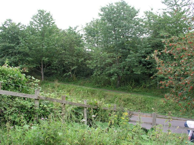
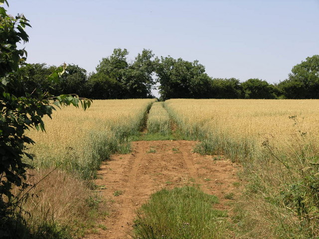
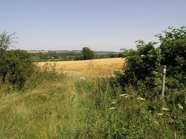
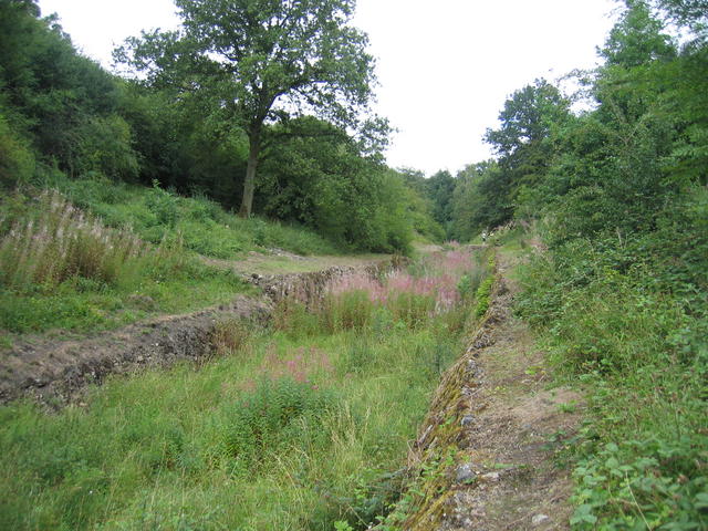
Ale Wood is a picturesque forest located in Oxfordshire, England. Covering an area of approximately 200 acres, it is a popular destination for nature enthusiasts and outdoor adventurers alike. The woodland is situated in close proximity to the charming village of Wood, which adds to its appeal.
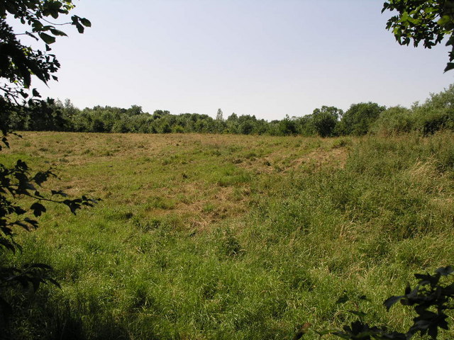
The forest is predominantly composed of deciduous trees, providing a beautiful display of colors during the autumn season. Oak, beech, and ash trees dominate the landscape, creating a diverse and vibrant ecosystem. The woodland floor is adorned with a variety of wildflowers, creating a stunning carpet of colors in the spring and summer months.
The forest is crisscrossed by a network of well-maintained trails, allowing visitors to explore its beauty on foot or by bike. These trails offer stunning views of the surrounding countryside and provide a peaceful and tranquil atmosphere for those seeking a break from the hustle and bustle of everyday life. Additionally, the forest is home to an abundance of wildlife, including deer, foxes, and a myriad of bird species.
For those interested in history, Ale Wood has a rich past. It is believed to have been used as a hunting ground for nobles and royalty during medieval times. Today, remnants of old hunting lodges and structures can still be found within the forest, adding an extra layer of intrigue to the area.
Overall, Ale Wood in Oxfordshire is a natural gem, offering a serene escape for visitors and a haven for wildlife. Its breathtaking scenery and historical significance make it an ideal destination for nature lovers and history enthusiasts alike.
If you have any feedback on the listing, please let us know in the comments section below.
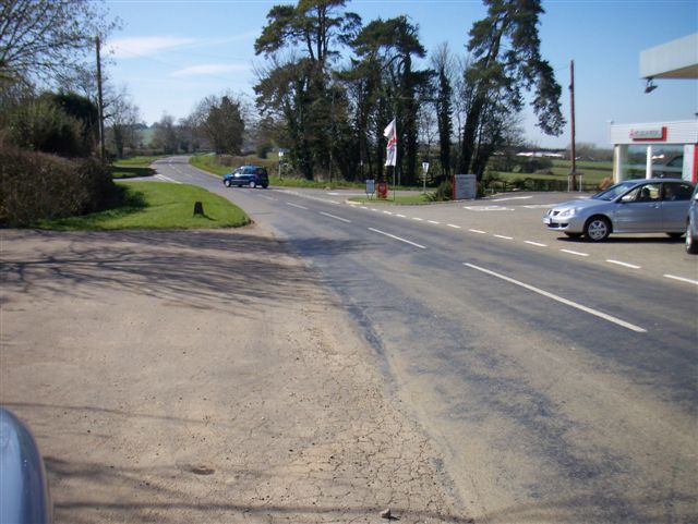
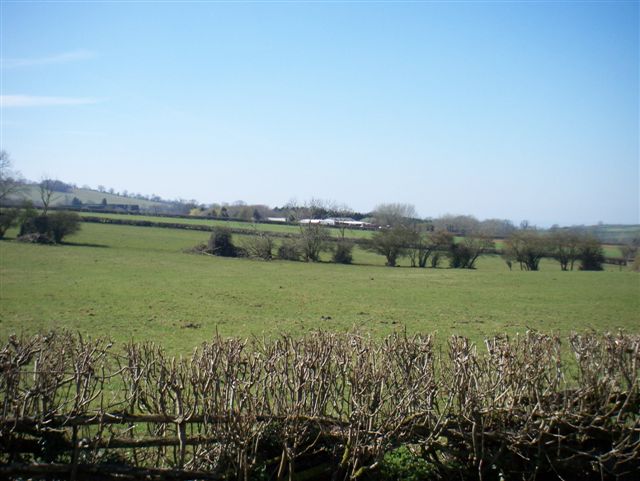
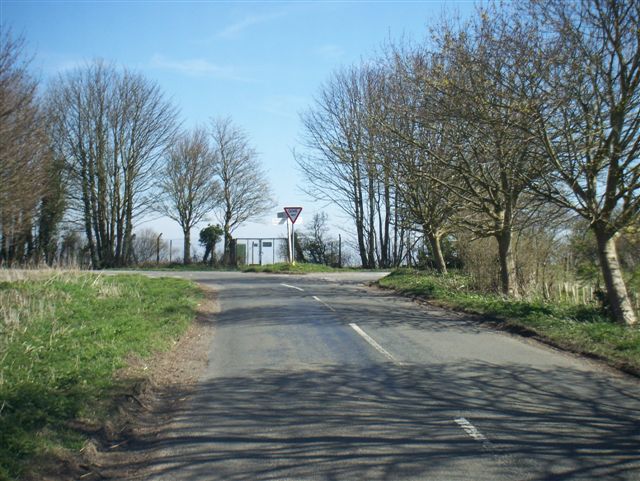
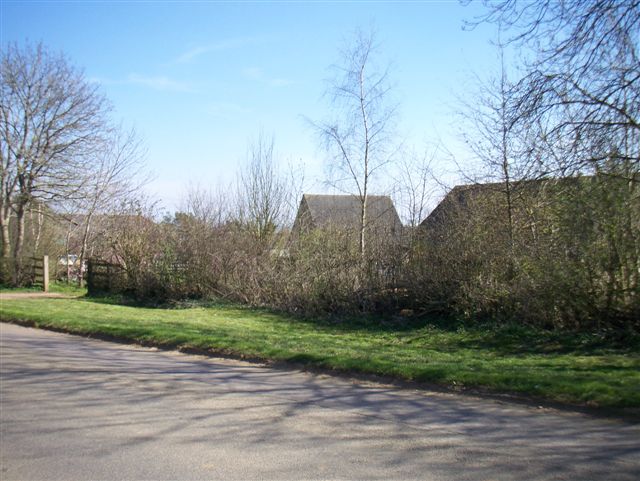
Ale Wood Images
Images are sourced within 2km of 51.994431/-1.4956491 or Grid Reference SP3433. Thanks to Geograph Open Source API. All images are credited.


Ale Wood is located at Grid Ref: SP3433 (Lat: 51.994431, Lng: -1.4956491)
Administrative County: Oxfordshire
District: Cherwell
Police Authority: Thames Valley
What 3 Words
///treatable.grouping.masts. Near Hook Norton, Oxfordshire
Nearby Locations
Related Wikis
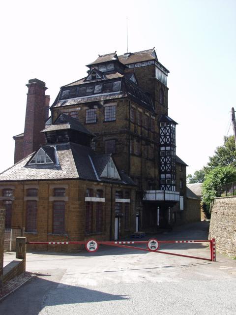
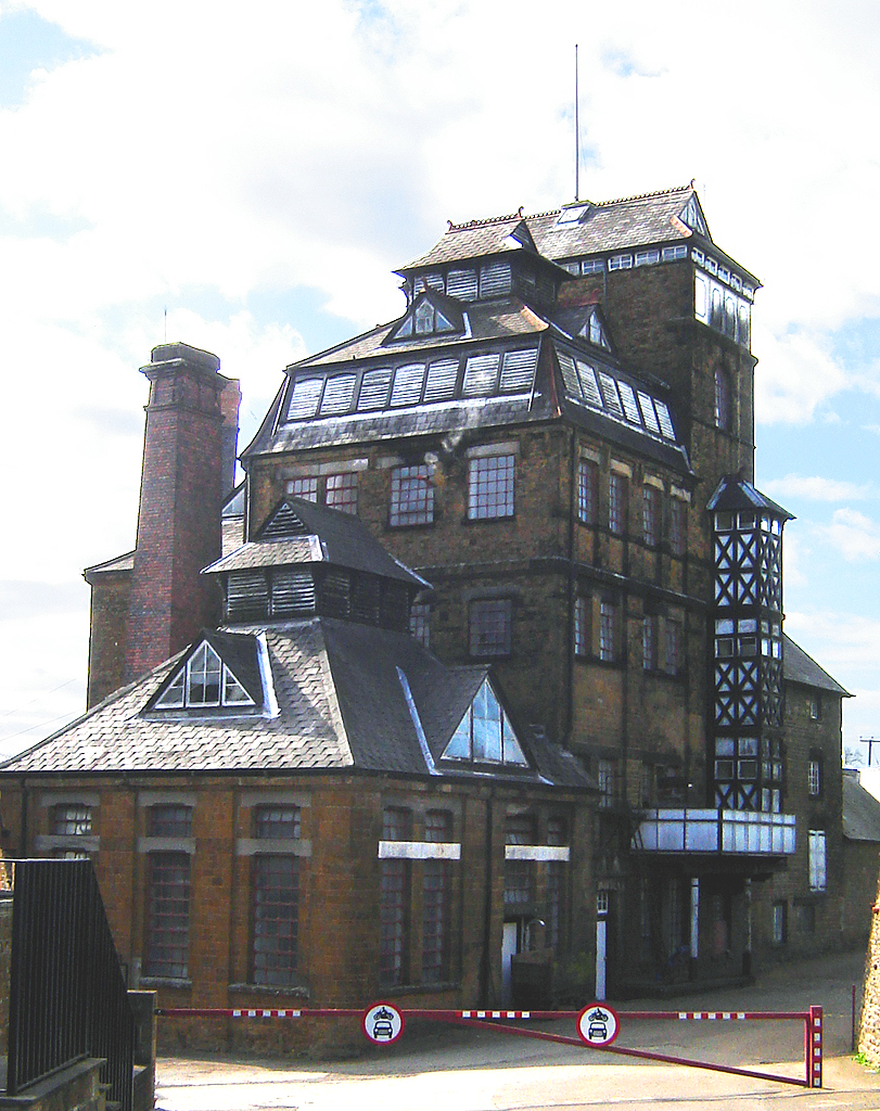
Hook Norton Brewery
Hook Norton Brewery is a regional brewery in Hook Norton, Oxfordshire, England, several miles outside the Cotswold Hills. Founded in 1849, the brewing...

Hook Norton F.C.
Hook Norton Football Club is a football club based in Hook Norton, near Banbury, Oxfordshire England. They are currently members of the Witney & District...
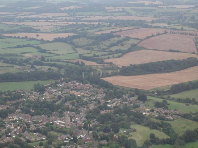
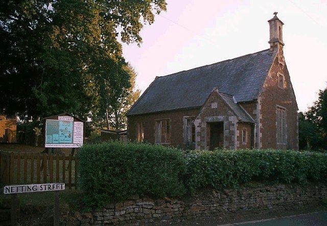
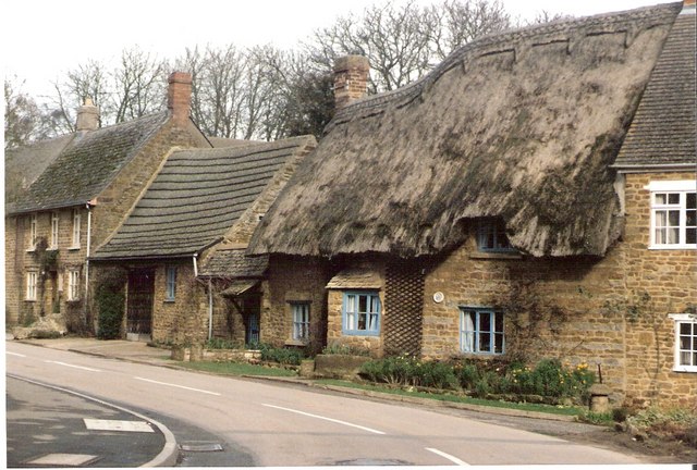
Hook Norton
Hook Norton is a village and civil parish in Oxfordshire, England. It lies 4+1⁄2 miles (7 km) northeast of Chipping Norton, close to the Cotswold Hills...
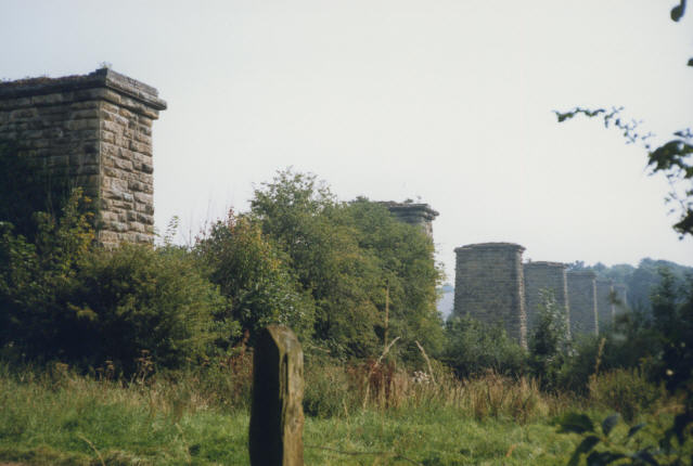
Hook Norton ironstone quarries (Baker)
The Hook Norton ironstone quarries (Baker) were ironstone quarries at Hook Norton, Oxfordshire, England, operating from the 1890s to the end of the First...

Hook Norton railway station
Hook Norton railway station served the village of Hook Norton in northern Oxfordshire, England. == History == The station was built for the Banbury and...

Hook Norton Cutting and Banks
Hook Norton Cutting and Banks is a 6.7-hectare (17-acre) biological and geological Site of Special Scientific Interest south of Hook Norton in Oxfordshire...
Hook Norton ironstone quarries (Brymbo)
The Hook Norton ironstone quarries (Brymbo) were ironstone quarries near Hook Norton in Oxfordshire, England. The quarries were in operation from 1899...

Great Rollright
Great Rollright is a village and former civil parish, now in the parish of Rollright, in the West Oxfordshire district, in Oxfordshire, England, and about...
Nearby Amenities
Located within 500m of 51.994431,-1.4956491Have you been to Ale Wood?
Leave your review of Ale Wood below (or comments, questions and feedback).