Caldecote Gorse

Wood, Forest in Warwickshire North Warwickshire

England

Caldecote Gorse

Boatyard beside Coventry Canal The boatyard adjacent to the main line of the Coventry Canal is north-west of the town centre of Nuneaton. The image was recorded from bridge No. 27, 'Wood Bridge'. The boats tied up there are all narrow boats; barges would be wider and wouldn't fit the narrow canal anyway.
Boatyard beside Coventry Canal Credit: Trevor Littlewood

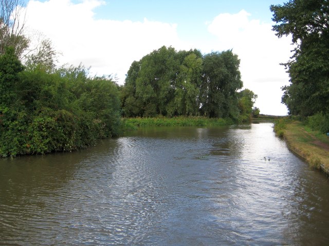
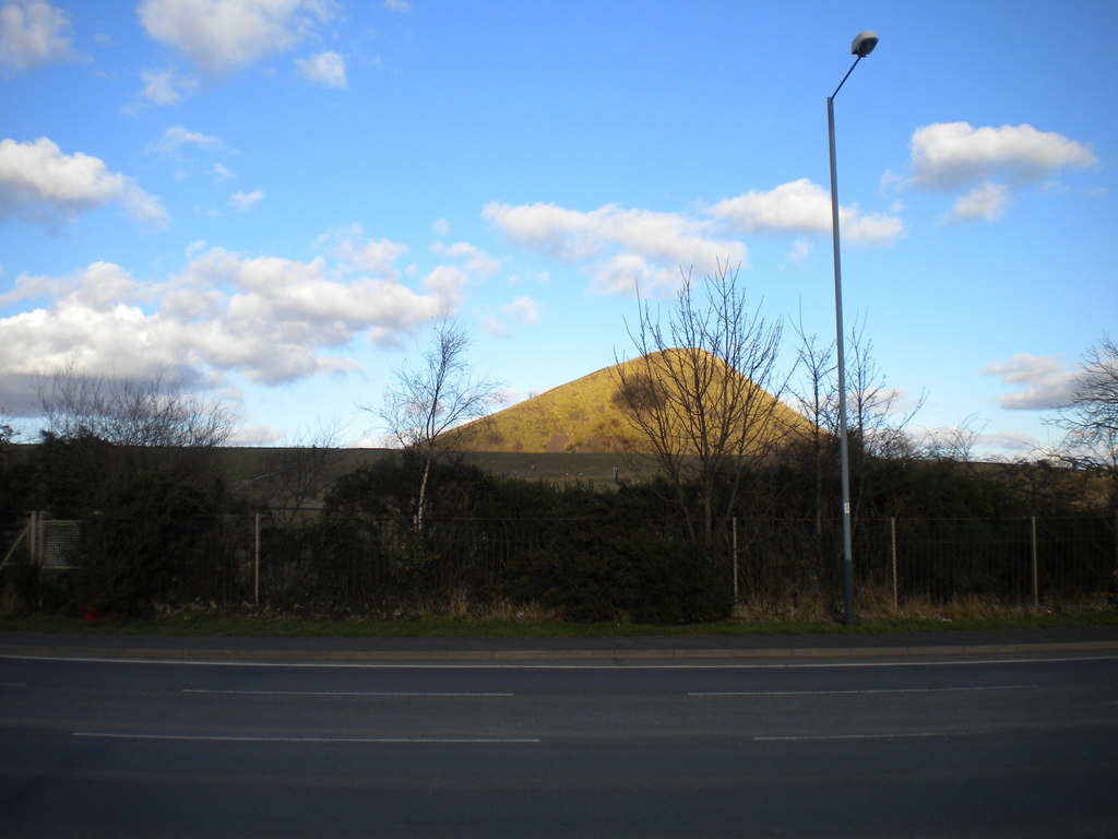
Caldecote Gorse is a picturesque woodland located in the county of Warwickshire, England. Situated near the village of Caldecote, the gorse encompasses an area of approximately 50 acres and is known for its diverse flora and fauna.

The woodland is primarily composed of gorse, a spiny evergreen shrub that covers much of the area. The gorse provides a vibrant burst of yellow flowers during the spring and summer months, creating a stunning display. In addition to gorse, the woodland also features a variety of other tree species, including oak, ash, and birch, which add to its rich biodiversity.

Caldecote Gorse is home to a wide range of wildlife, making it a popular spot for nature enthusiasts. The woodland provides a habitat for numerous bird species, such as woodpeckers, thrushes, and owls, which can be heard and spotted throughout the year. Small mammals like badgers, foxes, and rabbits can also be found in the gorse, as well as various species of butterflies and insects.

The woodland offers several walking trails and footpaths, allowing visitors to explore its natural beauty. These paths lead visitors through the dense undergrowth, under the canopy of trees, and past peaceful streams, providing a serene and tranquil experience. The gorse is a haven for those seeking a peaceful retreat and a chance to immerse themselves in nature.

Overall, Caldecote Gorse in Warwickshire is a charming woodland that showcases the beauty of the English countryside. With its vibrant gorse, diverse wildlife, and scenic walking trails, it offers a wonderful opportunity for visitors to connect with nature and enjoy the peaceful surroundings.

If you have any feedback on the listing, please let us know in the comments section below.

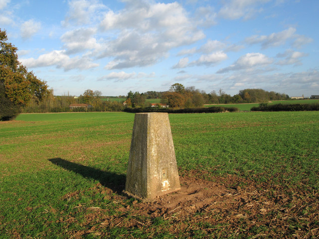
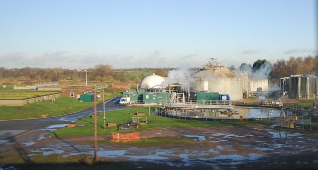
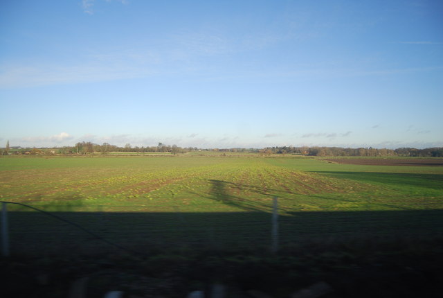
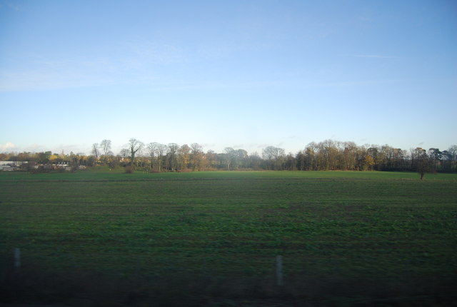
Caldecote Gorse Images

Images are sourced within 2km of 52.555339/-1.4893044 or Grid Reference SP3495. Thanks to Geograph Open Source API. All images are credited.

Boatyard beside Coventry Canal The boatyard adjacent to the main line of the Coventry Canal is north-west of the town centre of Nuneaton. The image was recorded from bridge No. 27, 'Wood Bridge'. The boats tied up there are all narrow boats; barges would be wider and wouldn't fit the narrow canal anyway.
Boatyard beside Coventry Canal
The boatyard adjacent to the main line of the Coventry Canal is north-west of the town centre of Nuneaton. The image was recorded from bridge No. 27, 'Wood Bridge'. The boats tied up there are all narrow boats; barges would be wider and wouldn't fit the narrow canal anyway.
Trig point of 'Lindley' in field The field lies to the north of the A5 and also north of Nuneaton.
Trig point of 'Lindley' in field
The field lies to the north of the A5 and also north of Nuneaton.
Duckweed, Coventry Canal, 1975 The conifers on the right conceal the local sewage works. Distant are the two bridges before and after the Hartshill canal maintenance depot.
Duckweed, Coventry Canal, 1975
The conifers on the right conceal the local sewage works. Distant are the two bridges before and after the Hartshill canal maintenance depot.
Farmland near Dobbies World
Hartshill Sewage Treatment Works
Farmland near Caldecote
Farmland in the Anker Valley
Fenny Drayton Redgate Steak & Alehouse Watling Street (A5). Previously called the Royal Red Gate until 2010.
Fenny Drayton Redgate Steak & Alehouse
Watling Street (A5). Previously called the Royal Red Gate until 2010.
Coventry Canal: Reach at Hartshill This is the view looking from the Atherstone Road bridge.
Coventry Canal: Reach at Hartshill
This is the view looking from the Atherstone Road bridge.
Coventry Canal: Bridge Number 32: Atherstone Road Bridge Traffic lights control a one-way system for vehicles crossing the bridge.
Coventry Canal: Bridge Number 32: Atherstone Road Bridge
Traffic lights control a one-way system for vehicles crossing the bridge.
Coventry Canal: Hartshill BWB covered dock This building which dates from the mid-19th century is Grade II Listed. It has a fine clock turret and a crane outside.
Coventry Canal: Hartshill BWB covered dock
This building which dates from the mid-19th century is Grade II Listed. It has a fine clock turret and a crane outside.
Coventry Canal: Hartshill Wharf Cottage Viewed from the Atherstone Road bridge the cottage is at the BWB maintenance depot at Hartshill wharf. Together with the bridge to the left the group have Grade II Listed Building status. The bridge is Number 31 carrying Apple Pie Lane over the canal. A narrowboat is preparing to moor up to take on water from the tap on the wharf.
Coventry Canal: Hartshill Wharf Cottage
Viewed from the Atherstone Road bridge the cottage is at the BWB maintenance depot at Hartshill wharf. Together with the bridge to the left the group have Grade II Listed Building status. The bridge is Number 31 carrying Apple Pie Lane over the canal. A narrowboat is preparing to moor up to take on water from the tap on the wharf.
Coventry Canal: Bridge Number 31: Apple Pie Lane Bridge The bridge and the adjacent cottage on Hartshill Wharf beyond form a Grade II Listed group. The left side of the cottage has an intriguing curved corner.
Coventry Canal: Bridge Number 31: Apple Pie Lane Bridge
The bridge and the adjacent cottage on Hartshill Wharf beyond form a Grade II Listed group. The left side of the cottage has an intriguing curved corner.
Coventry Canal: Reach near Hartshill The canal just clips across the south-west corner of this grid square.
Coventry Canal: Reach near Hartshill
The canal just clips across the south-west corner of this grid square.
Coventry Canal: Former Hartshill Quarries railway bridge Granite was quarried at Hartshill. This railway bridge is not shown on the 1903 Ordnance Survey map but was present in the 1914 edition. By the time that the 1959 edition was published the railway itself had evidently been lifted, so the bridge has already survived without the railway for approximately the same amount of time that it did have one.
Coventry Canal: Former Hartshill Quarries railway bridge
Granite was quarried at Hartshill. This railway bridge is not shown on the 1903 Ordnance Survey map but was present in the 1914 edition. By the time that the 1959 edition was published the railway itself had evidently been lifted, so the bridge has already survived without the railway for approximately the same amount of time that it did have one.
Coventry Canal: Bridge Number 28: White House Farm Bridge This bridge is another farmers' bridge and very similar in style to <a href="https://www.geograph.org.uk/photo/3144685">SP3295 : Coventry Canal: Bridge Number 33: Stoneleigh Glebe Farm Bridge</a> which is a Listed Structure whereas this one is not.
Coventry Canal: Bridge Number 28: White House Farm Bridge
This bridge is another farmers' bridge and very similar in style to SP3295 : Coventry Canal: Bridge Number 33: Stoneleigh Glebe Farm Bridge which is a Listed Structure whereas this one is not.
Coventry Canal: Hartshill winding hole This is an unintended and poor quality copy of Roger's <a href="https://www.geograph.org.uk/photo/2141416">SP3494 : Coventry Canal north-west of Nuneaton, Warwickshire</a> the duplication being remarkable since both were evidently taken from the stern of a moving boat! Roger's fine description tells you all you need to know.
Coventry Canal: Hartshill winding hole
This is an unintended and poor quality copy of Roger's SP3494 : Coventry Canal north-west of Nuneaton, Warwickshire the duplication being remarkable since both were evidently taken from the stern of a moving boat! Roger's fine description tells you all you need to know.
Show me another place!

Caldecote Gorse is located at Grid Ref: SP3495 (Lat: 52.555339, Lng: -1.4893044)

Administrative County: Warwickshire

District: North Warwickshire

Police Authority: Warwickshire

What 3 Words

///tonight.palaces.mouths. Near Hartshill, Warwickshire

Related Wikis

Fenny Drayton

Fenny Drayton (once Drayton-in-the-Clay) is a village and former civil parish, now in the parish of Witherley, in the Hinckley and Bosworth district of...

Lindley Hall Farm

Lindley Hall Farm is a farm in Leicestershire, England, in close proximity to Fenny Drayton and Higham on the Hill. The farm is owned by Stephen Farmer...

MIRA Ltd.

HORIBA MIRA Ltd. (formerly the Motor Industry Research Association) is an automotive engineering and development consultancy company headquartered in Higham...
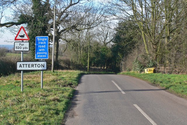
Atterton

Atterton is a hamlet and former civil parish, now in the parish of Witherley, in the Hinckley and Bosworth district, in the county of Leicestershire, England...

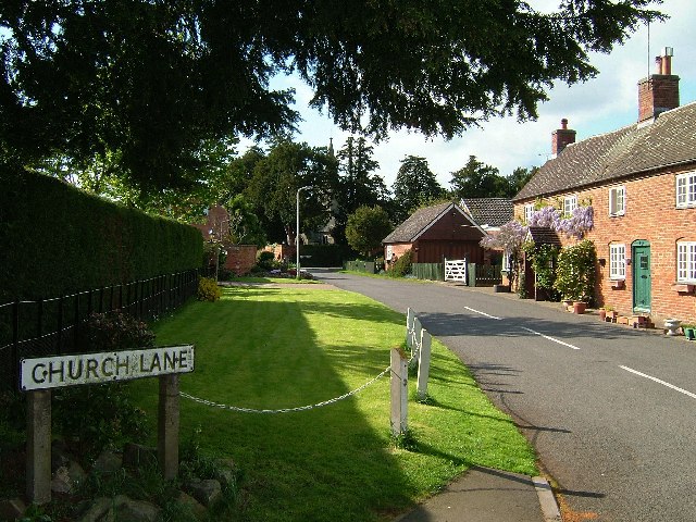
Caldecote, Warwickshire

Caldecote is a village and civil parish in Warwickshire, England, 2 miles north of Nuneaton and south of the A5. An ancient settlement, Caldecote is recorded...

Jee's Harts Hill Granite and Brick Company's works railways

Jee's Harts Hill Granite and Brick Company's works railways consisted of a narrow gauge light railway and a standard gauge works railway at Hartshill station...

Manduessedum

Manduessedum or Manduesedum was a Roman fort and later a civilian small town in the Roman Province of Britannia. It was located on and immediately to the...

Mount Judd (Nuneaton)

Mount Judd (also known colloquially as The Nuneaton Nipple) is a man made hill and landmark in Nuneaton, Warwickshire, England. It is the former spoil...

Have you been to Caldecote Gorse?

Leave your review of Caldecote Gorse below (or comments, questions and feedback).