Blunsdon's Copse

Wood, Forest in Berkshire

England

Blunsdon's Copse

Bus stop outside the church
Bus stop outside the church Credit: Basher Eyre

Blunsdon's Copse is a picturesque woodland located in Berkshire, England. Situated near the village of Blunsdon, it covers an area of approximately 200 acres, making it a significant natural reserve in the region. The copse is known for its diverse range of flora and fauna, making it a popular destination for nature enthusiasts and hikers alike.

The woodland consists predominantly of deciduous trees, including oak, beech, and ash, which provide a rich and vibrant canopy during the summer months. The forest floor is adorned with an array of wildflowers, such as bluebells and primroses, adding to the copse's natural beauty. Several small streams meander through the woodland, creating a tranquil and peaceful atmosphere.

Blunsdon's Copse is home to a wide variety of wildlife. It serves as a nesting ground for numerous bird species, including woodpeckers, nightingales, and tawny owls. Small mammals like squirrels, rabbits, and foxes can also be spotted within the copse. Additionally, the woodland is known for its butterfly population, with species such as the orange tip and comma fluttering among the trees.

The copse offers several walking trails and footpaths, allowing visitors to explore its beauty at their own pace. It is a haven for those seeking a peaceful retreat from the hustle and bustle of everyday life. Blunsdon's Copse is managed by local authorities, ensuring its preservation for future generations to enjoy.

If you have any feedback on the listing, please let us know in the comments section below.

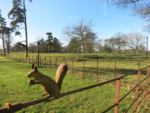
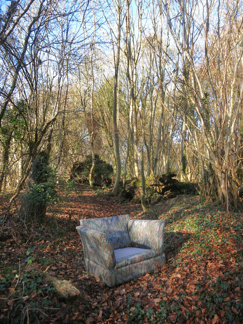
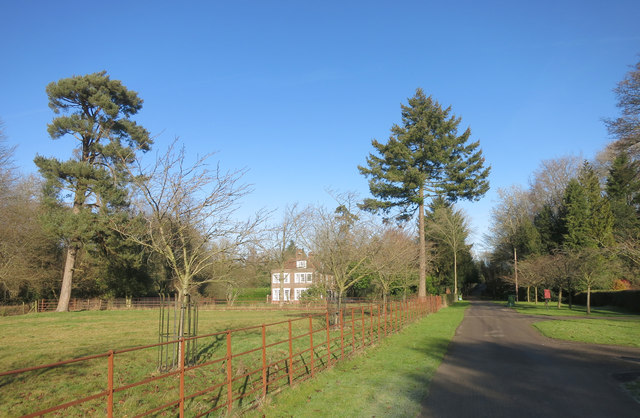
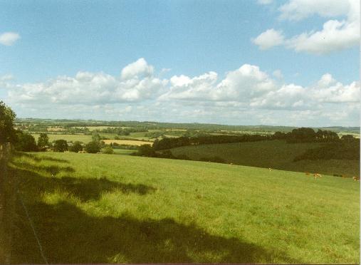
Blunsdon's Copse Images

Images are sourced within 2km of 51.456396/-1.501569 or Grid Reference SU3473. Thanks to Geograph Open Source API. All images are credited.

Bus stop outside the church
House in Inholmes Park SU 3373 is low on public access points. The private Inholmes Park occupies the top half of the square with just a short length of public footpath in the north east corner.
This house is on the edge of the park. In front is what looks like an old dew pond.
House in Inholmes Park
SU 3373 is low on public access points. The private Inholmes Park occupies the top half of the square with just a short length of public footpath in the north east corner. This house is on the edge of the park. In front is what looks like an old dew pond.
Iron Bird on the Fence This is near the entrance to Inholmes Park which is not open to the public.
A footpath goes past the gate, from where this metal sculpture can be seen beside the drive.
Several other Geographs feature it too, reflecting the limited photo opportunities for this unusually private square.
Iron Bird on the Fence
This is near the entrance to Inholmes Park which is not open to the public. A footpath goes past the gate, from where this metal sculpture can be seen beside the drive. Several other Geographs feature it too, reflecting the limited photo opportunities for this unusually private square.
A Red Squirrel One of several ironwork creatures on the fences in Inholmes Park. See <a href="https://www.geograph.org.uk/photo/1642982">SU3373 : Iron Owl</a> for example.
This is beside the entrance gate to the park, and above the squirrel's head is a cctv camera on a pole
which turned to look at me as I took this. 
A bit creepy, but I'm on a public footpath so too bad. I gave them a wave and continued my walk.
A Red Squirrel
One of several ironwork creatures on the fences in Inholmes Park. See SU3373 : Iron Owl for example. This is beside the entrance gate to the park, and above the squirrel's head is a cctv camera on a pole which turned to look at me as I took this. A bit creepy, but I'm on a public footpath so too bad. I gave them a wave and continued my walk.
Barn near Hungerford Newtown Part of Lower Farm.
Barn near Hungerford Newtown
Part of Lower Farm.
Farmland at Hungerford Newtown A typical Downland view with a large open field and a clump of trees on top of the hill.
Farmland at Hungerford Newtown
A typical Downland view with a large open field and a clump of trees on top of the hill.
Remains of a Hedge Isolated hedge remnants still neatly trimmed.
Remains of a Hedge
Isolated hedge remnants still neatly trimmed.
New Hayward Bottom A shallow dry valley which becomes Old Hayward Bottom just west of here.
A footpath runs south from the stile.
New Hayward Bottom
A shallow dry valley which becomes Old Hayward Bottom just west of here. A footpath runs south from the stile.
Byway past Horseclose Copse
Roller at Lower Poughley Lower Poughley consists of two or three houses, some barns and sheds, and a bend in the road.
Roller at Lower Poughley
Lower Poughley consists of two or three houses, some barns and sheds, and a bend in the road.
Chair in Blunsdon's Copse Fly tipped old chair in the woods.
The cushions are nearby.
How long before some creature makes a nice comfy nest here?
Chair in Blunsdon's Copse
Fly tipped old chair in the woods. The cushions are nearby. How long before some creature makes a nice comfy nest here?
Old Road to Woodlands St Mary Another of the numerous former roads on either side of the M4 which were cut off when it was built.
Old Road to Woodlands St Mary
Another of the numerous former roads on either side of the M4 which were cut off when it was built.
Driveway at Inholmes Holt This is the drive leading to Inholmes House and Park. It also serves a number of other residences.
The iron railings, as seen here at its northernmost point, are a feature of the park.
Driveway at Inholmes Holt
This is the drive leading to Inholmes House and Park. It also serves a number of other residences. The iron railings, as seen here at its northernmost point, are a feature of the park.
Farmland near Inholmes
Ermin Street at the junction of Hungerford Hill
Hungerford Hill at the junction of Ermin Street
Thatched cottage on Ermin Street, Shefford Woodlands
Old sign entering Shefford Woodlands
Show me another place!

Blunsdon's Copse is located at Grid Ref: SU3473 (Lat: 51.456396, Lng: -1.501569)

Unitary Authority: West Berkshire

Police Authority: Thames Valley

What 3 Words

///tokens.approvals.lost. Near Chilton Foliat, Wiltshire

Nearby Locations

Blunsdon's Copse

Related Wikis

North Wessex Downs

The North Wessex Downs Area of Outstanding Natural Beauty (AONB) is located in the English counties of Berkshire, Hampshire, Oxfordshire and Wiltshire...

Woodlands St Mary

Woodlands St Mary is a small village in the English county of Berkshire. The village is situated in the civil parish of Lambourn, and is 3 miles (4.8 km...

Shefford Woodlands

Shefford Woodlands is a village in West Berkshire, England, about 3 miles (5 km) northeast of the market town of Hungerford. The village is in the civil...

1991 M4 motorway crash

On 13 March 1991, a multiple-vehicle collision occurred during foggy conditions on the eastbound carriageway of the M4 motorway near Hungerford, Berkshire...

Nearby Amenities

Located within 500m of 51.456396,-1.501569
Phone
Check Date: 2022-12-20
Emergency: phone
Ref: 3052B
Lat/Long: 51.4580831/-1.4966149
Lower Poughley
Place: hamlet
Source: OS OpenData StreetView
Lat/Long: 51.4582056/-1.5046661
Power: pole
Lat/Long: 51.4531937/-1.5062261
Power: pole
Lat/Long: 51.4556181/-1.5059849
Power: pole
Lat/Long: 51.456686/-1.5059016
Power: pole
Lat/Long: 51.4577963/-1.5058106
Power: pole
Lat/Long: 51.4599235/-1.5056357
Power: pole
Lat/Long: 51.458824/-1.5057079
The data included in this document is from www.openstreetmap.org. The data is made available under ODbL.

Have you been to Blunsdon's Copse?

Leave your review of Blunsdon's Copse below (or comments, questions and feedback).