Chantry Heath Wood

Wood, Forest in Warwickshire Warwick

England

Chantry Heath Wood

Hangars at Baginton airport In front of the hangars is an English Electric Canberra, identification no. WK163, with an inscription on its nose reading: "Holder of the World Altitude Record of 70,310ft on 28th August 1957. Pilot: M Randrupp Observer: W. Shirley". (70310ft = 21430m approx.)
Hangars at Baginton airport Credit: E Gammie

Chantry Heath Wood is a picturesque forest located in Warwickshire, England. Covering an area of approximately 40 hectares, this woodland is a hidden gem for nature enthusiasts and provides a tranquil escape from the hustle and bustle of everyday life.

The woodland is predominantly made up of native broadleaf trees such as oak, ash, and beech, creating a diverse and rich habitat for a variety of flora and fauna. The forest floor is carpeted with a mosaic of wildflowers, including bluebells, primroses, and wood anemones, which bloom in vibrant colors during the springtime.

Chantry Heath Wood is home to a wide range of wildlife, making it a popular spot for birdwatchers and wildlife photographers. Visitors can often spot woodpeckers, nuthatches, and tawny owls among the treetops, while the forest floor is frequented by small mammals like squirrels, hedgehogs, and rabbits.

The woodland offers several walking trails, allowing visitors to explore its beauty at their own pace. These trails wind through the trees, offering glimpses of stunning vistas and secluded clearings. Whether you are seeking a leisurely stroll or a more challenging hike, Chantry Heath Wood caters to all fitness levels.

Managed by a local conservation group, the woodland is well-maintained while still retaining its natural charm. The group organizes regular events and activities for visitors, including guided walks, educational programs, and tree planting initiatives, ensuring the preservation and enhancement of this unique woodland ecosystem.

Overall, Chantry Heath Wood is a serene and enchanting forest that provides a haven for wildlife and offers visitors a chance to connect with nature in the heart of Warwickshire.

If you have any feedback on the listing, please let us know in the comments section below.

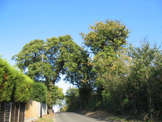
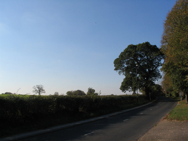
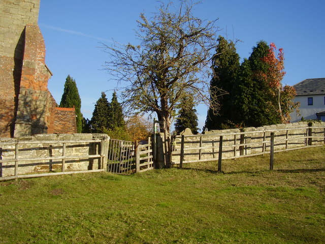
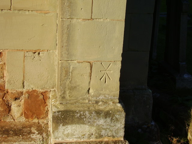
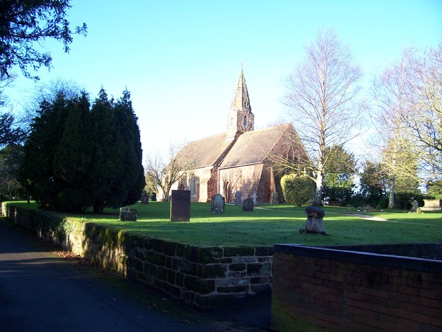
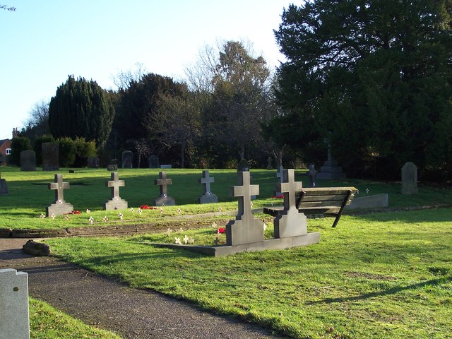
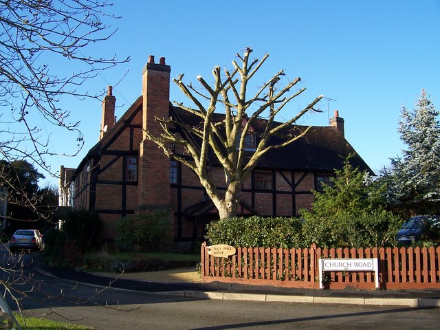
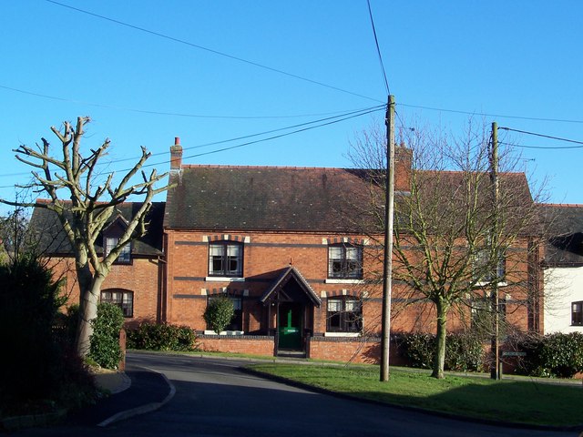
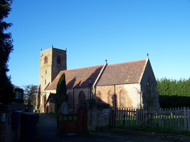
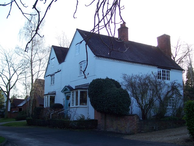
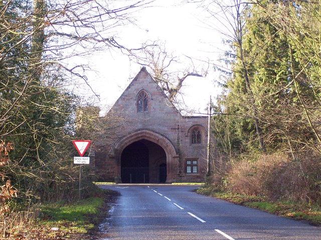
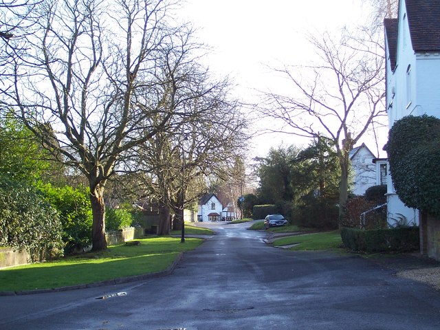
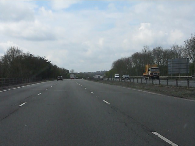
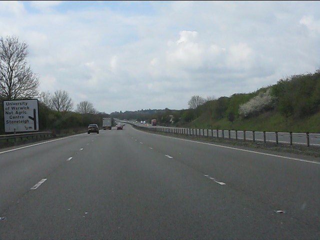
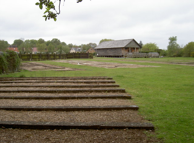
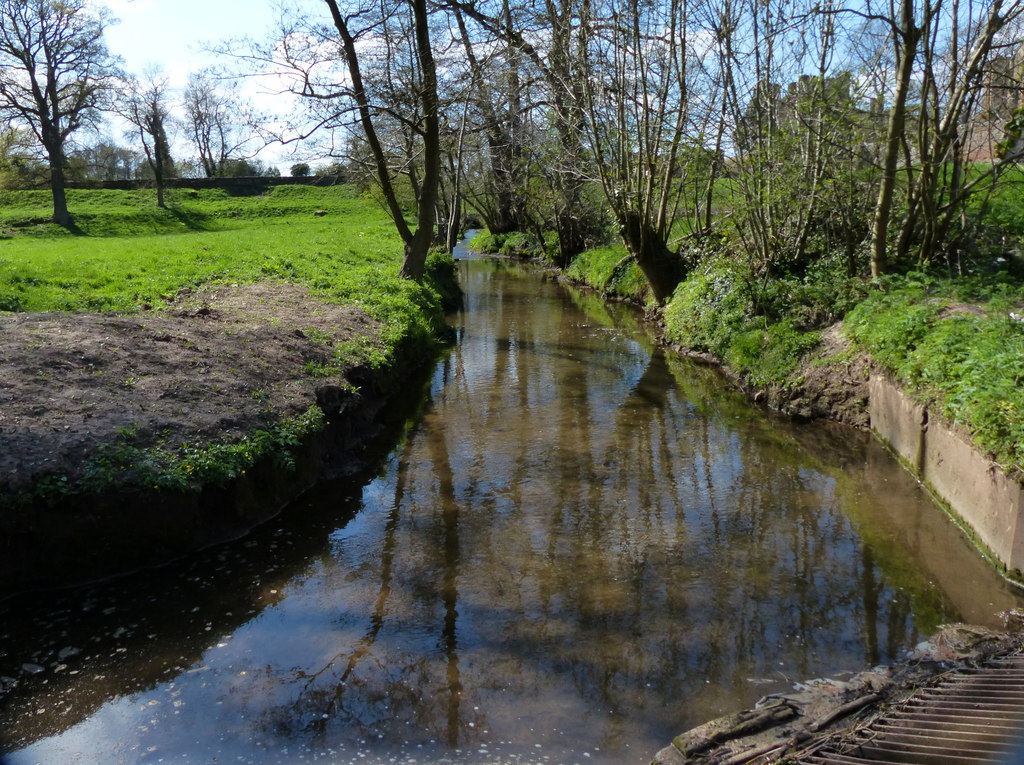
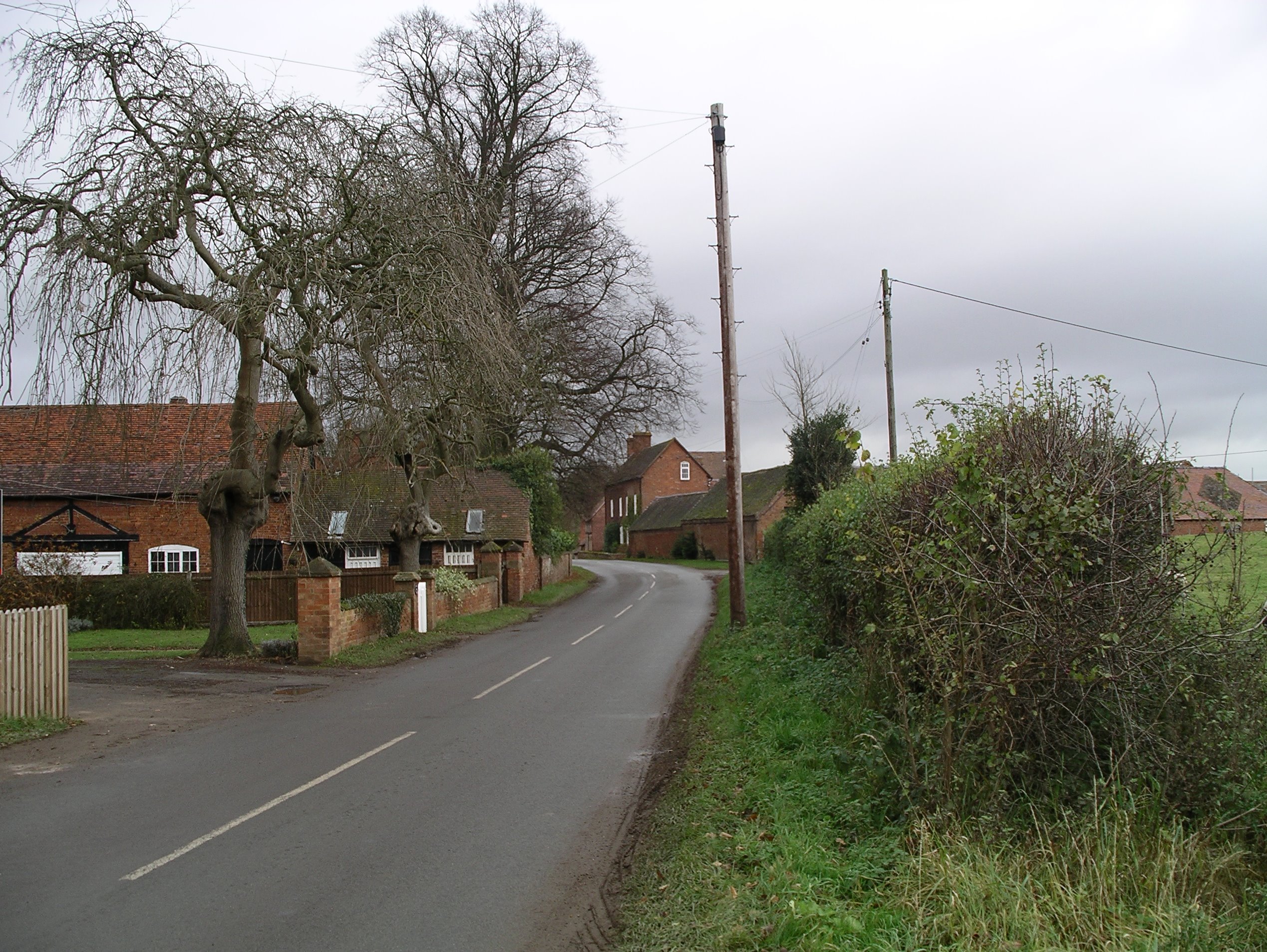
Chantry Heath Wood Images

Images are sourced within 2km of 52.35652/-1.4969722 or Grid Reference SP3473. Thanks to Geograph Open Source API. All images are credited.

Hangars at Baginton airport In front of the hangars is an English Electric Canberra, identification no. WK163, with an inscription on its nose reading: "Holder of the World Altitude Record of 70,310ft on 28th August 1957. Pilot: M Randrupp Observer: W. Shirley". (70310ft = 21430m approx.)
Hangars at Baginton airport
In front of the hangars is an English Electric Canberra, identification no. WK163, with an inscription on its nose reading: "Holder of the World Altitude Record of 70,310ft on 28th August 1957. Pilot: M Randrupp Observer: W. Shirley". (70310ft = 21430m approx.)
Coventry Airport, Baginton A de Havilland Vampire (identification no. WK436) being readied for a display flight at Baginton airport.
Coventry Airport, Baginton
A de Havilland Vampire (identification no. WK436) being readied for a display flight at Baginton airport.
Coventry Airport, Baginton A Jet Provost (identification G-BWDS, formerly XM424) taxiing prior to take off for a display flight at Baginton airport.
Coventry Airport, Baginton
A Jet Provost (identification G-BWDS, formerly XM424) taxiing prior to take off for a display flight at Baginton airport.
The summit of Howes Lane Howes Lane (B4115) forms part of Coventry city boundary. Here it crosses a low ridge that juts out between the river Sowe and Finham brook. The oak trees are a reminder of its former rural nature but beyond the hedgerow on the right traffic roars by on the A46 bypass.
The summit of Howes Lane
Howes Lane (B4115) forms part of Coventry city boundary. Here it crosses a low ridge that juts out between the river Sowe and Finham brook. The oak trees are a reminder of its former rural nature but beyond the hedgerow on the right traffic roars by on the A46 bypass.
Green Lane This side of the hedge Coventry suburb. On the other side, Warwickshire farmland.
Green Lane
This side of the hedge Coventry suburb. On the other side, Warwickshire farmland.
Lots of different angles A footpath and gate next to Bubbenhall church.
The tree appears to be vertical whilst the church tower leans towards it.
Lots of different angles
A footpath and gate next to Bubbenhall church. The tree appears to be vertical whilst the church tower leans towards it.
Cancelled Bench  Mark on St Giles Church Situated on the south east corner wall the two lines at the top of the mark indicate that it is no longer functional.
A flush bracket can be located near by.
Cancelled Bench Mark on St Giles Church
Situated on the south east corner wall the two lines at the top of the mark indicate that it is no longer functional. A flush bracket can be located near by.
St John the Baptist Church, Baginton
Graves of Polish Servicemen at St John the Baptist Church, Baginton There are nine graves of Polish airmen who were fighting with the RAF and were stationed at RAF Baginton, now Coventry Airport. They were all members of 308 (Krakow) Squadron.
Graves of Polish Servicemen at St John the Baptist Church, Baginton
There are nine graves of Polish airmen who were fighting with the RAF and were stationed at RAF Baginton, now Coventry Airport. They were all members of 308 (Krakow) Squadron.
Lucy Price House, Church Road, Baginton This is named after Lucy Price (nee Bromley) who was a benefactress and endowed the village with a school in 1814. The house was built in the late 16th/early 17th century and is timber framed.
Lucy Price House, Church Road, Baginton
This is named after Lucy Price (nee Bromley) who was a benefactress and endowed the village with a school in 1814. The house was built in the late 16th/early 17th century and is timber framed.
Home Farm, Baginton
Home Farm, Baginton
St Giles Church, Bubbenhall
Church House, Bubbenhall
Tantara Lodge Once a gatehouse for Stoneleigh Abbey, it now sits on the fringe of Stoneleigh Golf Course.
Tantara Lodge
Once a gatehouse for Stoneleigh Abbey, it now sits on the fringe of Stoneleigh Golf Course.
Looking towards "The Cottage" Bubbenhall
A46 crossing St Martin's Road (B4113)
A46 - half-mile to Stoneleigh exit
Footings of the castra The roman fort at Lunt had several barrack rooms (castra) each containing a Century; this consisted of eighty (not a hundred) men, plus a centurion whose quarters were a little more opulent.
Footings of the castra
The roman fort at Lunt had several barrack rooms (castra) each containing a Century; this consisted of eighty (not a hundred) men, plus a centurion whose quarters were a little more opulent.
Show me another place!

Chantry Heath Wood is located at Grid Ref: SP3473 (Lat: 52.35652, Lng: -1.4969722)

Administrative County: Warwickshire

District: Warwick

Police Authority: Warwickshire

What 3 Words

///bounty.truly.stud. Near Ryton on Dunsmore, Warwickshire

Nearby Locations

Chantry Heath Wood

Related Wikis

Finham Brook

The Finham Brook is a lower tributary of the River Sowe, it flows through Kenilworth and Warwickshire, England, to join the Sowe near Finham. Its principal...

Stoneleigh, Warwickshire

Stoneleigh is a small village in Warwickshire, England, on the River Sowe, situated 4.5 miles (7.25 km) south of Coventry and 5.5 miles (9 km) north of...
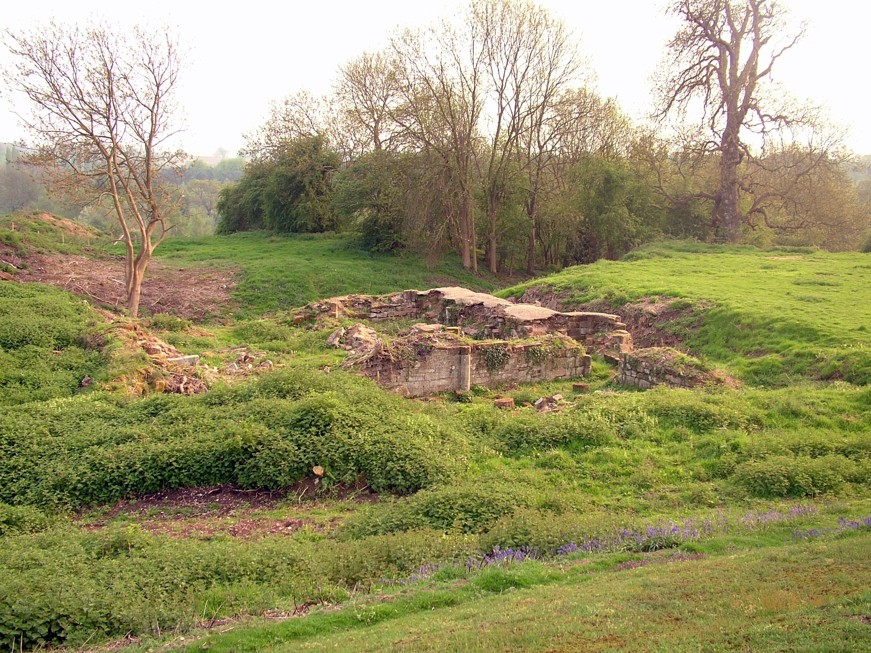
Baginton Castle

Baginton Castle, also known as Bagot's Castle, is a ruined castle in Baginton, Warwickshire, England. It was originally built in the 12th century by Geoffrey...
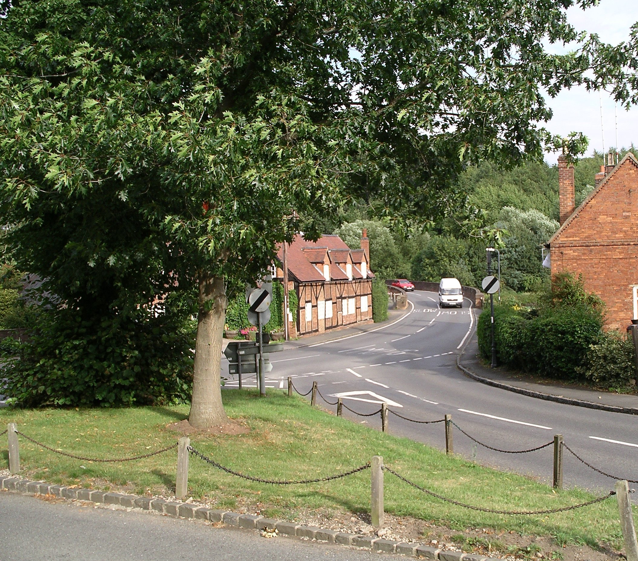
Baginton

Baginton is a village and civil parish in the Warwick district of Warwickshire, England, and has a common border with the City of Coventry / West Midlands...
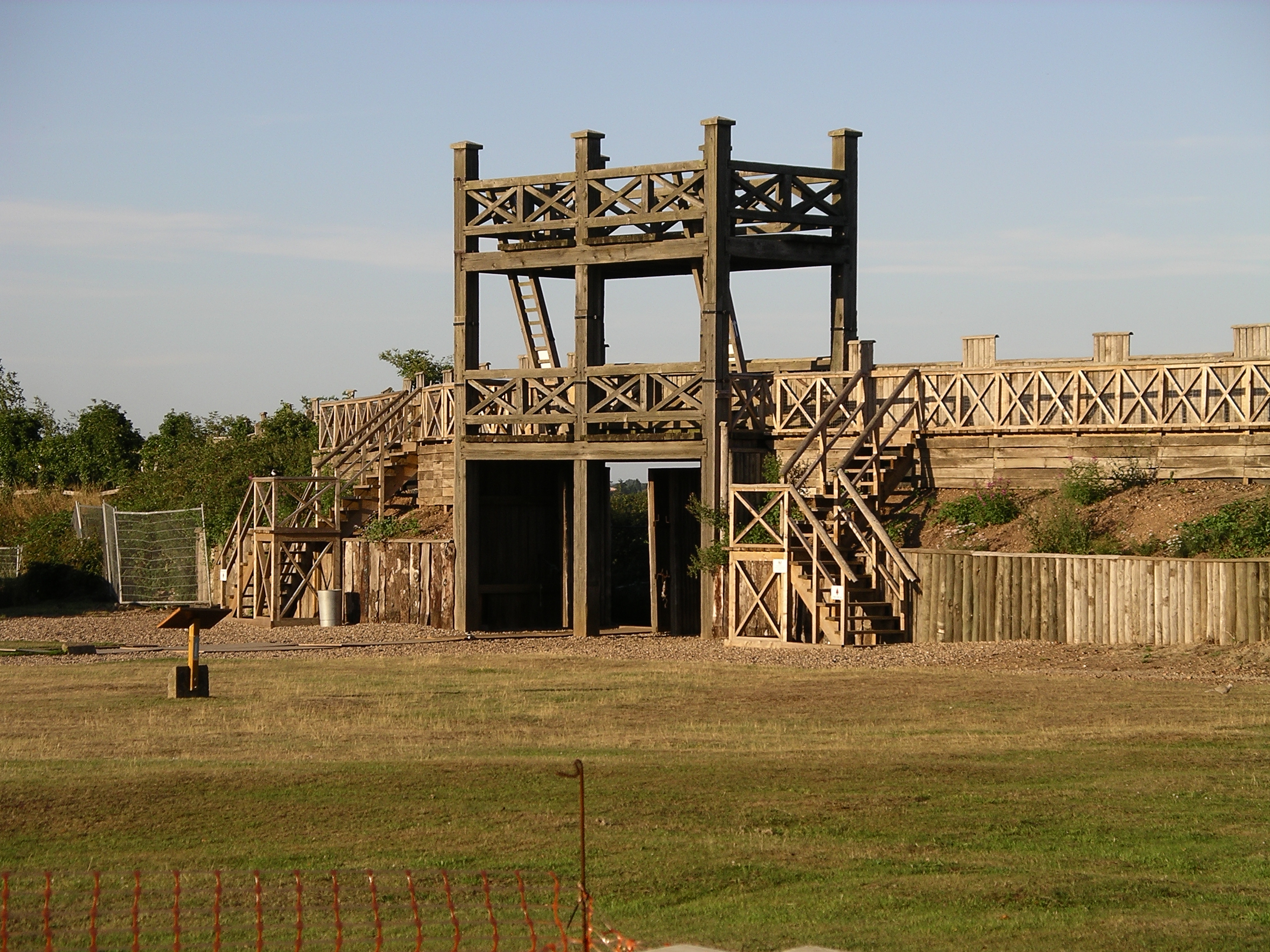
Lunt Roman Fort

The Lunt Roman Fort is the archaeological site of a Roman fort, of unknown name, in the Roman province of Britannia. It is open to the public and located...

River Sowe

The River Sowe is a river in Warwickshire and West Midlands, England. It is a tributary of the River Avon, and flows into it just south of Stoneleigh...
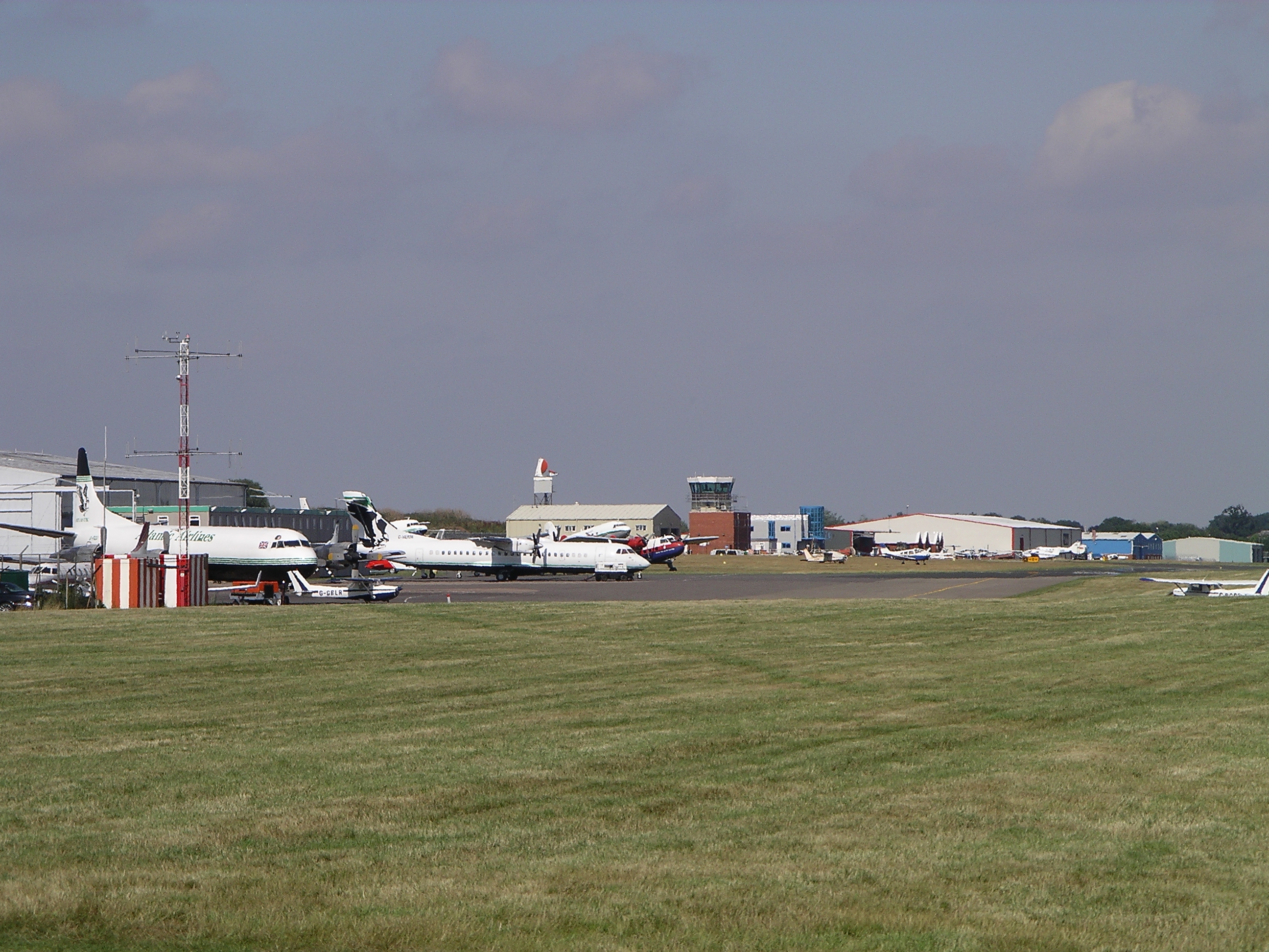
Coventry Airport

Coventry Airport (IATA: CVT, ICAO: EGBE) is located three nautical miles (six kilometres) south-southeast of Coventry city centre, in the village of Baginton...

Stareton

Stareton is a small hamlet in Warwickshire, England. The population is included within Stoneleigh parish. It is situated about half a mile from Stoneleigh...

Nearby Amenities

Located within 500m of 52.35652,-1.4969722
Give Way
Direction: backward
Lat/Long: 52.3557513/-1.4954125
Give Way
Direction: backward
Lat/Long: 52.3556044/-1.4954282
The data included in this document is from www.openstreetmap.org. The data is made available under ODbL.

Have you been to Chantry Heath Wood?

Leave your review of Chantry Heath Wood below (or comments, questions and feedback).