Burton Wood

Wood, Forest in Yorkshire Harrogate

England

Burton Wood

Robert Beck bridge This bridge is on the north/south track which runs to and from Farnham to Copgrove. According to the OS database there was a benchmark in this location. Today there is a more substantial bridge for the heavier machinery using the lanes, and no benchmark to be found.
Robert Beck bridge Credit: Mel Towler

Burton Wood is a picturesque village located in the county of Yorkshire, England. Nestled amidst the rolling hills and lush greenery, this idyllic woodland area is a haven for nature enthusiasts and those seeking tranquility away from the hustle and bustle of city life.

The wood is home to a diverse range of trees, including oak, beech, and birch, which create a dense canopy overhead, providing shade and shelter for the abundant wildlife that resides here. The forest floor is blanketed with a rich tapestry of wildflowers, ferns, and mosses, adding to the enchanting atmosphere of the wood.

A network of well-maintained walking trails weaves through the wood, allowing visitors to explore its beauty at their own pace. These trails offer breathtaking views of the surrounding countryside, with glimpses of grazing sheep and horses dotting the landscape.

One of the highlights of Burton Wood is its ancient oak trees, some of which are believed to be over 300 years old. These majestic giants stand tall and proud, their gnarled branches reaching towards the sky, creating a magical and timeless ambiance.

The wood is also home to a variety of wildlife, including foxes, deer, and a plethora of bird species. Birdwatchers flock to Burton Wood to catch a glimpse of rare and migratory birds that make this area their temporary home.

Overall, Burton Wood, Yorkshire is a captivating destination that offers a peaceful retreat for nature lovers. Its scenic beauty, diverse flora and fauna, and tranquil atmosphere make it a must-visit location for anyone seeking solace in the embrace of nature.

If you have any feedback on the listing, please let us know in the comments section below.
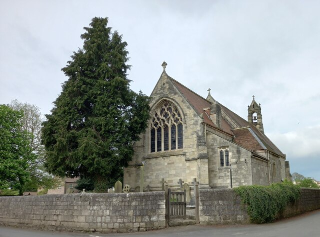
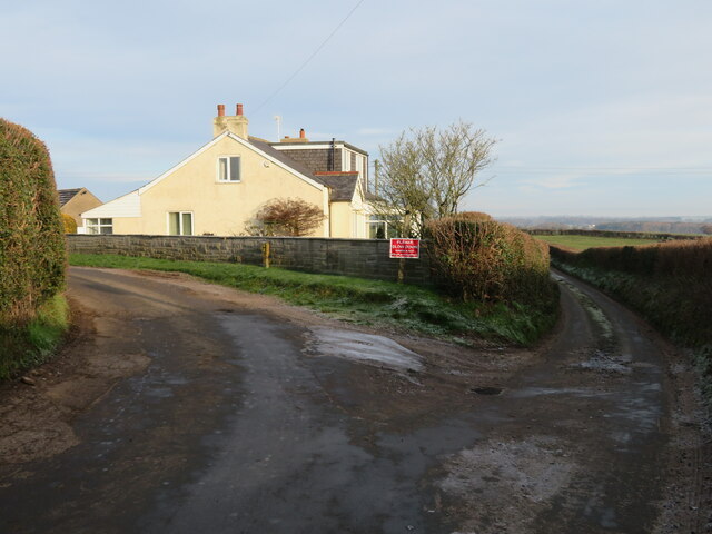
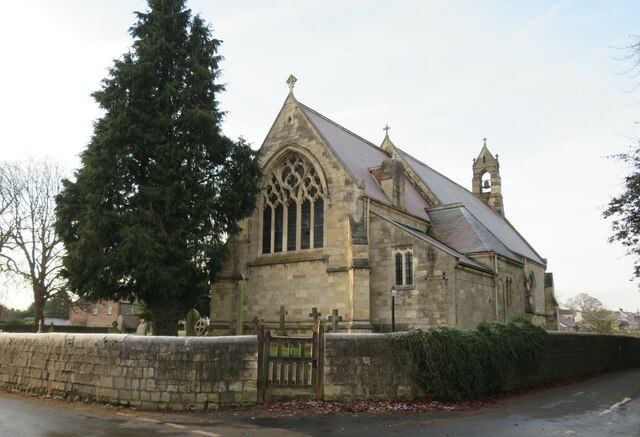
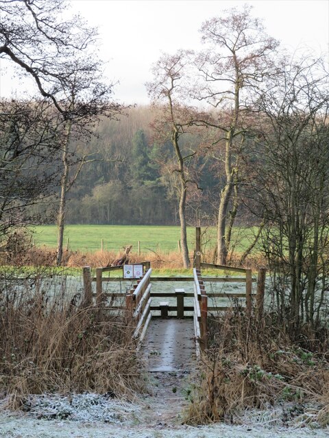
Burton Wood Images

Images are sourced within 2km of 54.074929/-1.4766235 or Grid Reference SE3464. Thanks to Geograph Open Source API. All images are credited.
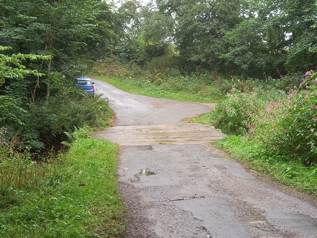
Robert Beck bridge This bridge is on the north/south track which runs to and from Farnham to Copgrove. According to the OS database there was a benchmark in this location. Today there is a more substantial bridge for the heavier machinery using the lanes, and no benchmark to be found.
Robert Beck bridge
This bridge is on the north/south track which runs to and from Farnham to Copgrove. According to the OS database there was a benchmark in this location. Today there is a more substantial bridge for the heavier machinery using the lanes, and no benchmark to be found.
Copgrove, Firlands Farm Firlands Farm is on the south side of the Burton Leonard/Farnham road. On the north facing gable end which is roadside, there is a benchmark cut into the lowest course of stone.
Copgrove, Firlands Farm
Firlands Farm is on the south side of the Burton Leonard/Farnham road. On the north facing gable end which is roadside, there is a benchmark cut into the lowest course of stone.
Copgrove, Firlands Farm A wider angle showing Firlands Farm on the south side of the Burton Leonard/Farnham road. On this north facing gable end, there is a benchmark cut into the lowest course of stone.
Copgrove, Firlands Farm
A wider angle showing Firlands Farm on the south side of the Burton Leonard/Farnham road. On this north facing gable end, there is a benchmark cut into the lowest course of stone.
Burton Leonard, The Toll House The Toll House is on the north side of the Burton Leonard/Copgrove road and is now a private residence. On the second course of stone, on the left corner stone of the house, there is a benchmark.
Burton Leonard, The Toll House
The Toll House is on the north side of the Burton Leonard/Copgrove road and is now a private residence. On the second course of stone, on the left corner stone of the house, there is a benchmark.
Burton Leonard, The Toll House A wider angle showing the Toll House which is on the north side of the Burton Leonard/Copgrove road and is now a private residence. On the second course of stone, on the left corner stone of the house, there is a benchmark. To the right of the wooden gatepost.
Burton Leonard, The Toll House
A wider angle showing the Toll House which is on the north side of the Burton Leonard/Copgrove road and is now a private residence. On the second course of stone, on the left corner stone of the house, there is a benchmark. To the right of the wooden gatepost.
Burton Leonard church The benchmark is cut into the east face of the church.
Burton Leonard church
The benchmark is cut into the east face of the church.
Burton Leonard church There is a benchmark cut into the east face of the church.
Burton Leonard church
There is a benchmark cut into the east face of the church.
Frosty morning, Bishop Monkton Footpath towards the caravan site at Bishop Monkton on a very cold and frosty December day.
Frosty morning, Bishop Monkton
Footpath towards the caravan site at Bishop Monkton on a very cold and frosty December day.
Junction of lanes at Burton Leonard The wider lane to the left is Common Balk Lane and is a dead end for vehicles, whilst to the right is the rather curved Straight Lane which links into the road from Knaresborough to Bishop Monkton.
Junction of lanes at Burton Leonard
The wider lane to the left is Common Balk Lane and is a dead end for vehicles, whilst to the right is the rather curved Straight Lane which links into the road from Knaresborough to Bishop Monkton.
Burton Leonard church, from the NE A Victorian church that doesn't get more than 5 lines of description in the updated Pevsner guide. St Leonard's dates from 1877. This apparently replaced a medieval church, of which nothing remains.
Burton Leonard church, from the NE
A Victorian church that doesn't get more than 5 lines of description in the updated Pevsner guide. St Leonard's dates from 1877. This apparently replaced a medieval church, of which nothing remains.
New bridge over the beck I photographed this beck crossing in 2009, but the bridge is not the same one. The gabion and handrail on this side have both gone, and the current bridge is longer with more rails and stanchions. The bridge doesn't appear to line up exactly with the path as shown on the OS map.
New bridge over the beck
I photographed this beck crossing in 2009, but the bridge is not the same one. The gabion and handrail on this side have both gone, and the current bridge is longer with more rails and stanchions. The bridge doesn't appear to line up exactly with the path as shown on the OS map.
A stream revisited I took a photo here in the autumn of 2009 and commented about springs, but after checking out the first edition 6" map of the area, it looks as though I was mistaken. There are a lot of 'humps and bumps' in this area, as well as odd bits of masonry [as in the foreground of this photo], and it appears that this is the site of a former water mill - 'Burton Mill' which is described as a corn mill. The mill has long gone, and the mill race has been reduced to little more than a meandering ditch, but this must be part of it.
A stream revisited
I took a photo here in the autumn of 2009 and commented about springs, but after checking out the first edition 6" map of the area, it looks as though I was mistaken. There are a lot of 'humps and bumps' in this area, as well as odd bits of masonry [as in the foreground of this photo], and it appears that this is the site of a former water mill - 'Burton Mill' which is described as a corn mill. The mill has long gone, and the mill race has been reduced to little more than a meandering ditch, but this must be part of it.
Mill Lane A grassy track which is now a public footpath leading down to the former site of Burton Mill, of which nothing remains apart from a few earthworks. The name would suggest that this was the site of the corn mill for Burton Leonard village which is a mile or more to the west, and which stands on higher ground away from suitable becks. A mill in this area would also be within the parish, whereas one to the south of the village would be on a boundary with Brearton parish.
Mill Lane
A grassy track which is now a public footpath leading down to the former site of Burton Mill, of which nothing remains apart from a few earthworks. The name would suggest that this was the site of the corn mill for Burton Leonard village which is a mile or more to the west, and which stands on higher ground away from suitable becks. A mill in this area would also be within the parish, whereas one to the south of the village would be on a boundary with Brearton parish.
Path into the wood [maybe] A waymark post at the edge of Kettlewell Carr suggests that one is on the right path, but there is no stile or gate and one must step over a semi derelict wire fence. Fortunately it would be difficult to get lost within the woodland.
Path into the wood [maybe]
A waymark post at the edge of Kettlewell Carr suggests that one is on the right path, but there is no stile or gate and one must step over a semi derelict wire fence. Fortunately it would be difficult to get lost within the woodland.
Bridleway towards Roecliffe Lodge A tarmacked lane which is both private road and public bridleway with the redbrick house of Roecliffe Lodge in the distance.
Bridleway towards Roecliffe Lodge
A tarmacked lane which is both private road and public bridleway with the redbrick house of Roecliffe Lodge in the distance.
Foster Flatts Farm Seen across the fields from the bridleway heading NE from Roecliffe Lodge. I note that on old maps the farm is referred to as 'Foster Flat'.
Foster Flatts Farm
Seen across the fields from the bridleway heading NE from Roecliffe Lodge. I note that on old maps the farm is referred to as 'Foster Flat'.
Track west of Wheatlands Farm One might also describe this as a public footpath, but if the OS map and NYCC official rights of way map are to be believed, then the line of the path is around 20m to the right in a crop field. [number 15.113/3]
Track west of Wheatlands Farm
One might also describe this as a public footpath, but if the OS map and NYCC official rights of way map are to be believed, then the line of the path is around 20m to the right in a crop field. [number 15.113/3]
Well House Farm Ford This ford is found beside Well House at Copgrove.
Well House Farm Ford
This ford is found beside Well House at Copgrove.
Show me another place!

Burton Wood is located at Grid Ref: SE3464 (Lat: 54.074929, Lng: -1.4766235)

Division: West Riding

Administrative County: North Yorkshire

District: Harrogate

Police Authority: North Yorkshire

What 3 Words

///presides.tarred.rocky. Near Boroughbridge, North Yorkshire

Related Wikis

Bishop Monkton Ings

Bishop Monkton Ings is a Site of Special Scientific Interest, or SSSI, situated east of Bishop Monkton village in North Yorkshire, England. It consists...

Burton Leonard

Burton Leonard is a village and civil parish in the Harrogate district of North Yorkshire, England, and approximately 7 miles (11 km) south from Ripon...

Copgrove

Copgrove is a village and civil parish in the Harrogate district of North Yorkshire, England, five miles (8 km) south-west of Boroughbridge and the A1...

Bishop Monkton

Bishop Monkton is a village and civil parish in the Harrogate district of North Yorkshire, England, about five miles south of Ripon. According to the...

Westwick, North Yorkshire

Westwick is a civil parish in Harrogate district in North Yorkshire, England. It lies 3 miles (5 km) west of Boroughbridge, on the south bank of the River...
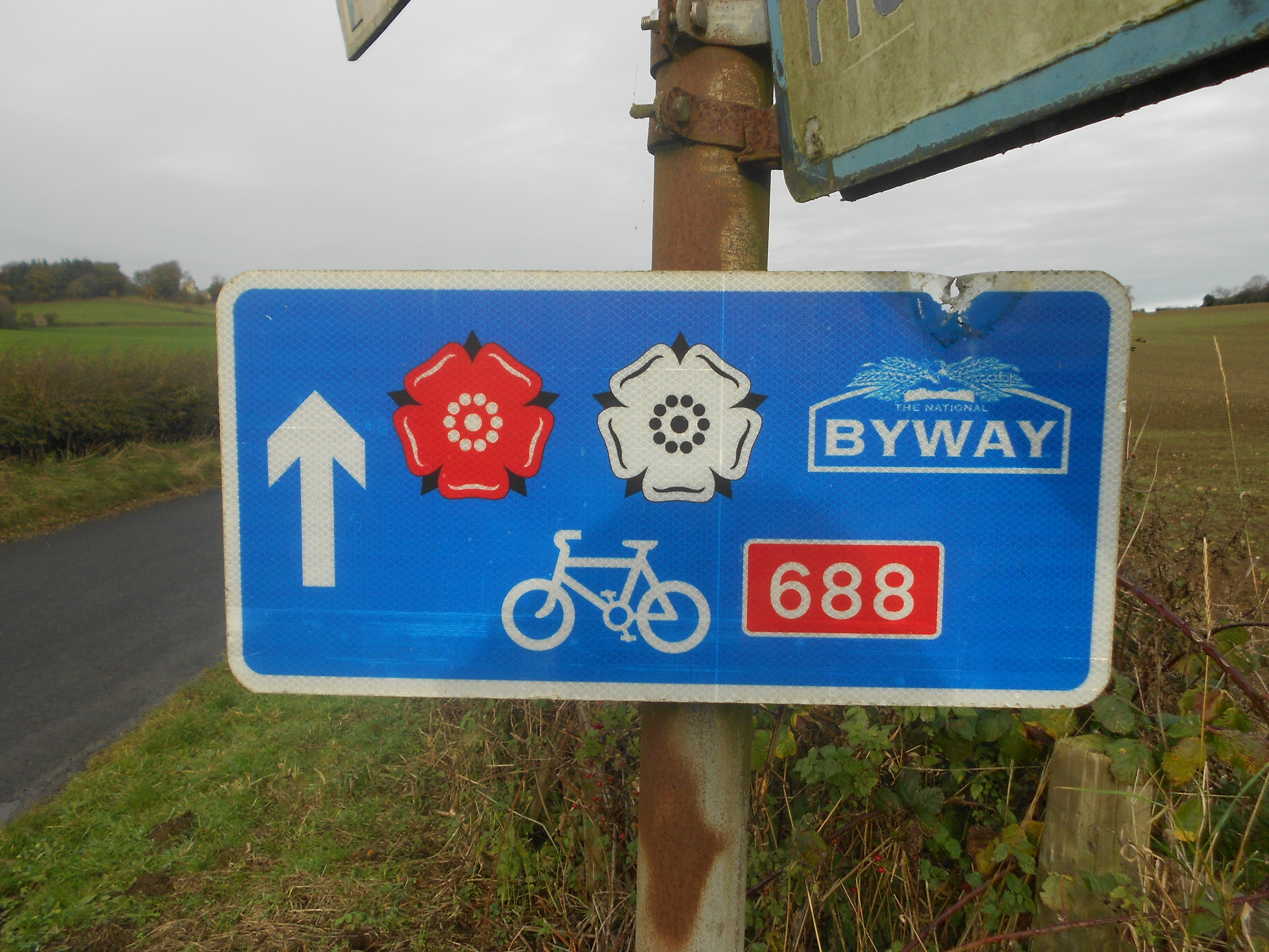
Way of the Roses

The Way of the Roses is the newest of Great Britain's coast-to-coast long-distance cycle routes and is based on minor roads, disused railway lines and...

Staveley, North Yorkshire

Staveley is a village and civil parish in the Harrogate district of North Yorkshire, England. It is situated 4 miles (6.4 km) north of Knaresborough and...
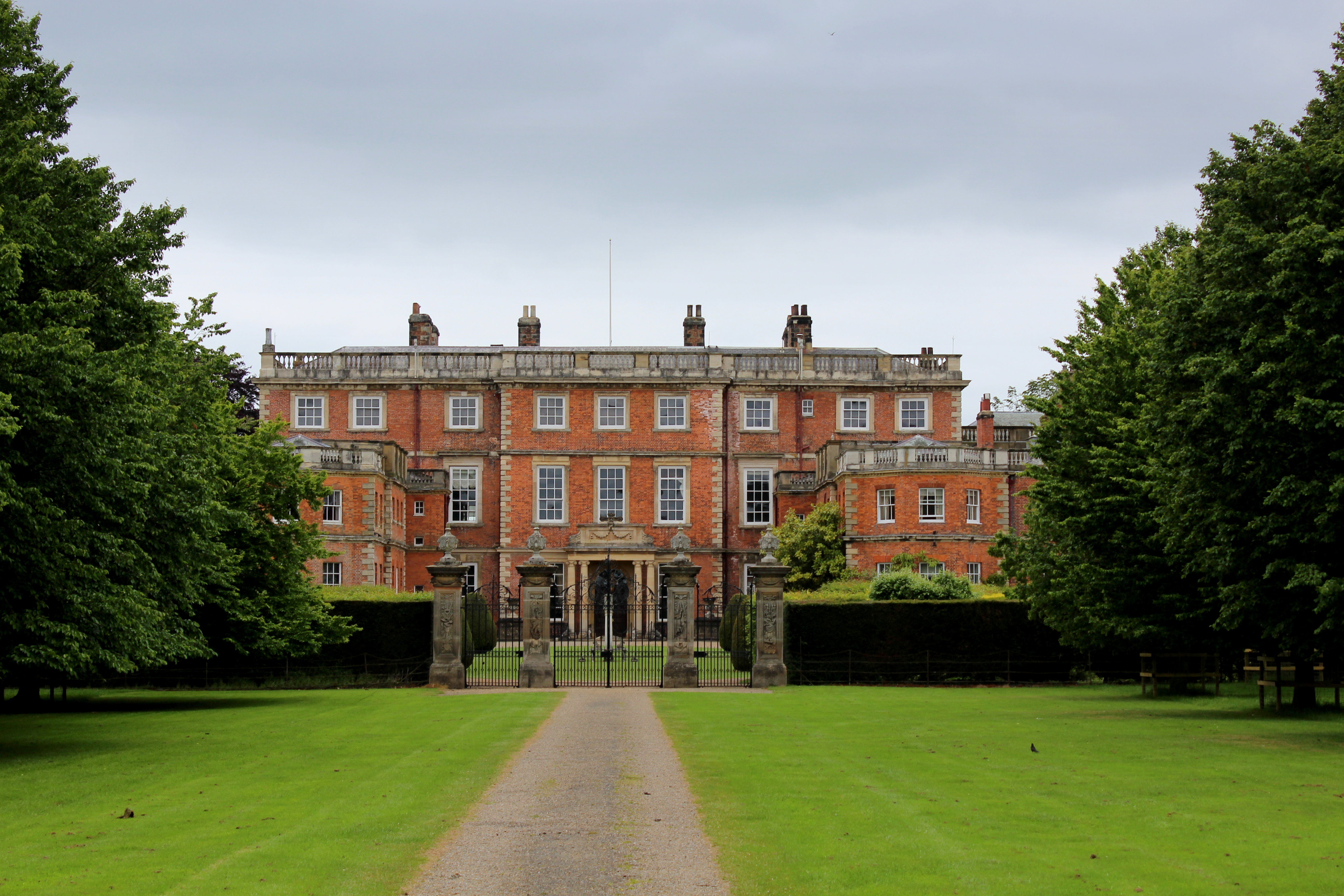
Newby Hall

Newby Hall is a country house beside the River Ure in the parish of Skelton-on-Ure in North Yorkshire, England. It is 3 miles (4.8 km) south-east of Ripon...

Nearby Amenities

Located within 500m of 54.074929,-1.4766235
Power: pole
Lat/Long: 54.0769708/-1.470387
Power: pole
Lat/Long: 54.0768843/-1.4718381
Power: pole
Lat/Long: 54.0767426/-1.4746329
Power: pole
Lat/Long: 54.0766592/-1.4760143
Power: pole
Lat/Long: 54.0765632/-1.4773822
Power: pole
Lat/Long: 54.0764987/-1.4787421
Power: pole
Lat/Long: 54.0764059/-1.4802441
Power: pole
Lat/Long: 54.0758582/-1.4813143
Power: pole
Lat/Long: 54.0752933/-1.4824435
Line Management: branch
Power: pole
Lat/Long: 54.0747147/-1.4835527
Power: pole
Lat/Long: 54.0747484/-1.4836185
Power: pole
Lat/Long: 54.0768013/-1.4732849
The data included in this document is from www.openstreetmap.org. The data is made available under ODbL.

Have you been to Burton Wood?

Leave your review of Burton Wood below (or comments, questions and feedback).