Big Pasture Wood
Wood, Forest in Yorkshire Harrogate
England
Big Pasture Wood
Big Pasture Wood is a picturesque woodland located in the county of Yorkshire, England. Spanning an area of approximately 100 acres, the wood is nestled within the serene countryside, offering visitors a tranquil escape from the hustle and bustle of daily life.
The wood is characterized by its diverse range of tree species, including oak, ash, beech, and birch. The towering trees create a dense canopy, casting a cool shade over the forest floor and providing a habitat for a variety of wildlife. Visitors to Big Pasture Wood may be lucky enough to spot deer, foxes, badgers, and an array of bird species.
A network of well-maintained footpaths winds through the wood, allowing visitors to explore its beauty at their own pace. The pathways are lined with vibrant bluebells in the spring, creating a stunning carpet of color. During autumn, the wood transforms into a kaleidoscope of hues as the leaves change, providing a breathtaking sight.
Big Pasture Wood is not only a haven for nature enthusiasts but also a popular spot for recreational activities. The wood offers ample opportunities for walking, picnicking, and nature photography. It also has designated areas for camping and barbecues, allowing visitors to immerse themselves in the great outdoors.
Managed by a local conservation organization, Big Pasture Wood is committed to preserving its natural beauty and promoting environmental education. Regular events and workshops are held to raise awareness about the importance of conservation.
In conclusion, Big Pasture Wood is a captivating woodland retreat in Yorkshire, offering a perfect blend of natural beauty and recreational activities. Whether it's a leisurely stroll or a chance to connect with nature, this enchanting wood provides an idyllic escape for visitors of all ages.
If you have any feedback on the listing, please let us know in the comments section below.
Big Pasture Wood Images
Images are sourced within 2km of 54.071363/-1.4709836 or Grid Reference SE3464. Thanks to Geograph Open Source API. All images are credited.


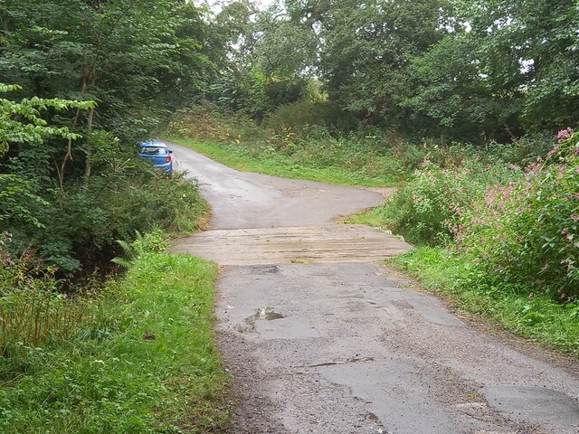
![A stream revisited I took a photo here in the autumn of 2009 and commented about springs, but after checking out the first edition 6" map of the area, it looks as though I was mistaken. There are a lot of 'humps and bumps' in this area, as well as odd bits of masonry [as in the foreground of this photo], and it appears that this is the site of a former water mill - 'Burton Mill' which is described as a corn mill. The mill has long gone, and the mill race has been reduced to little more than a meandering ditch, but this must be part of it.](https://s2.geograph.org.uk/geophotos/07/36/36/7363662_2cc6cae5.jpg)

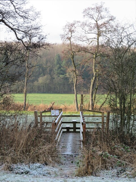
![Path into the wood [maybe] A waymark post at the edge of Kettlewell Carr suggests that one is on the right path, but there is no stile or gate and one must step over a semi derelict wire fence. Fortunately it would be difficult to get lost within the woodland.](https://s3.geograph.org.uk/geophotos/07/36/36/7363667_54e4542f.jpg)


![Track west of Wheatlands Farm One might also describe this as a public footpath, but if the OS map and NYCC official rights of way map are to be believed, then the line of the path is around 20m to the right in a crop field. [number 15.113/3]](https://s1.geograph.org.uk/geophotos/07/36/36/7363677_f0437d4d.jpg)


Big Pasture Wood is located at Grid Ref: SE3464 (Lat: 54.071363, Lng: -1.4709836)
Division: West Riding
Administrative County: North Yorkshire
District: Harrogate
Police Authority: North Yorkshire
What 3 Words
///cable.throwaway.trapdoor. Near Boroughbridge, North Yorkshire
Nearby Locations
Related Wikis

Copgrove
Copgrove is a village and civil parish in the Harrogate district of North Yorkshire, England, five miles (8 km) south-west of Boroughbridge and the A1...

Bishop Monkton Ings
Bishop Monkton Ings is a Site of Special Scientific Interest, or SSSI, situated east of Bishop Monkton village in North Yorkshire, England. It consists...

Burton Leonard
Burton Leonard is a village and civil parish in the Harrogate district of North Yorkshire, England, and approximately 7 miles (11 km) south from Ripon...

Staveley, North Yorkshire
Staveley is a village and civil parish in the Harrogate district of North Yorkshire, England. It is situated 4 miles (6.4 km) north of Knaresborough and...

Westwick, North Yorkshire
Westwick is a civil parish in Harrogate district in North Yorkshire, England. It lies 3 miles (5 km) west of Boroughbridge, on the south bank of the River...

Bishop Monkton
Bishop Monkton is a village and civil parish in the Harrogate district of North Yorkshire, England, about five miles south of Ripon. According to the...

Copgrove railway station
Copgrove railway station served the village of Copgrove, North Yorkshire, England from 1875 to 1964 on the Pilmoor, Boroughbridge and Knaresborough Railway...
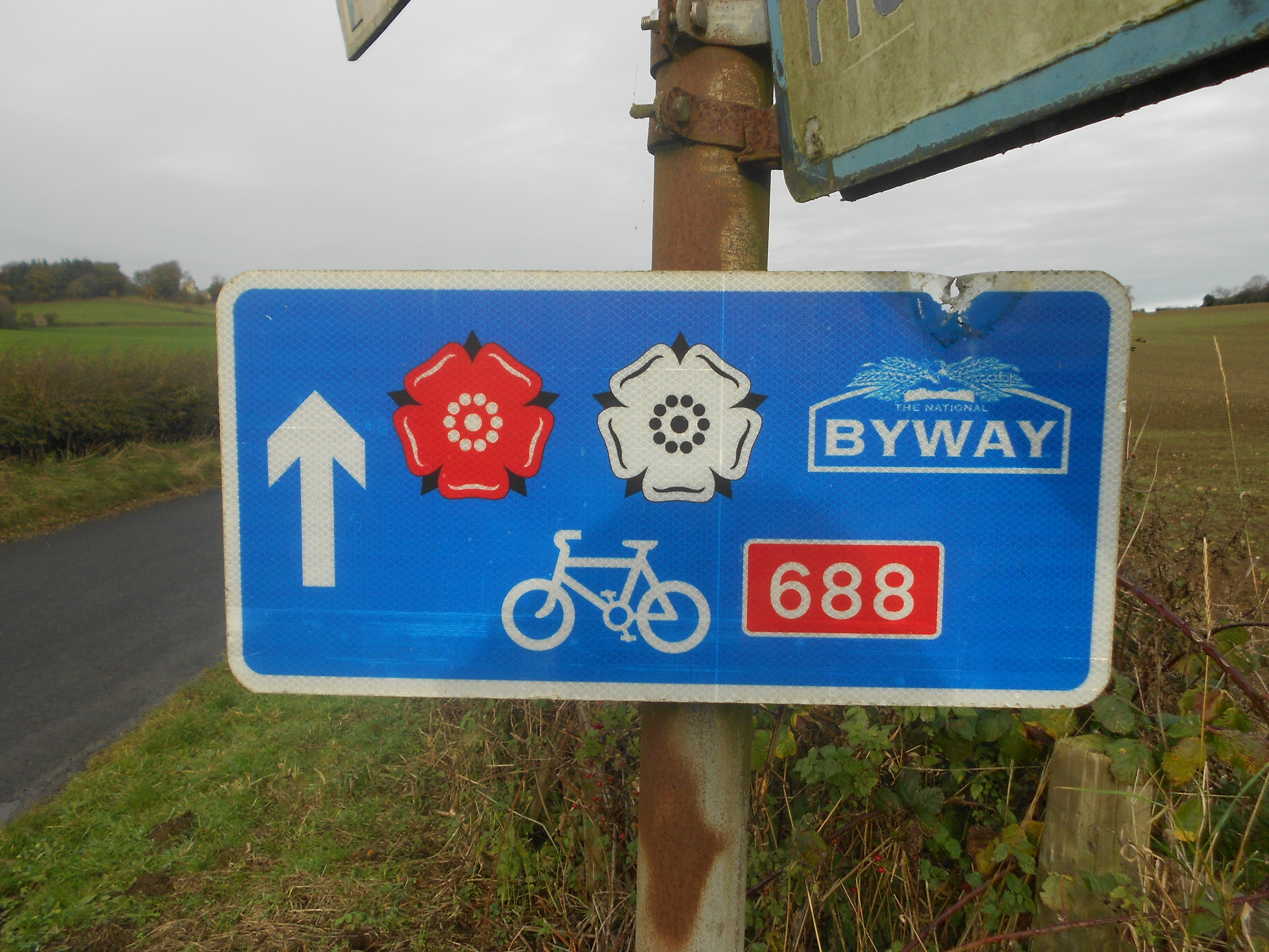
Way of the Roses
The Way of the Roses is the newest of Great Britain's coast-to-coast long-distance cycle routes and is based on minor roads, disused railway lines and...
Nearby Amenities
Located within 500m of 54.071363,-1.4709836Have you been to Big Pasture Wood?
Leave your review of Big Pasture Wood below (or comments, questions and feedback).