Dinnington
Settlement in Northumberland
England
Dinnington
Dinnington is a small village located in the county of Northumberland, in the northeast of England. Situated approximately 9 miles north of the market town of Morpeth, Dinnington is surrounded by picturesque countryside, offering residents and visitors a tranquil and idyllic setting.
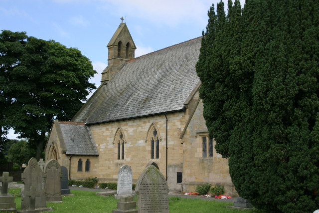
The village is known for its historical significance, with evidence of human activity dating back to the Neolithic period. Dinnington boasts a rich heritage, evident through its architecture and landmarks. The village is home to St. Matthew's Church, a Grade II listed building that dates back to the 12th century. The church features a striking tower and beautiful stained glass windows, providing a glimpse into the village's past.
Despite its small size, Dinnington offers a range of amenities for its residents. The village has a primary school, providing education for local children, as well as a community center that hosts various activities and events throughout the year. Dinnington also has a few local shops and businesses that cater to the needs of its population.
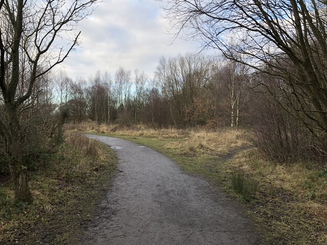
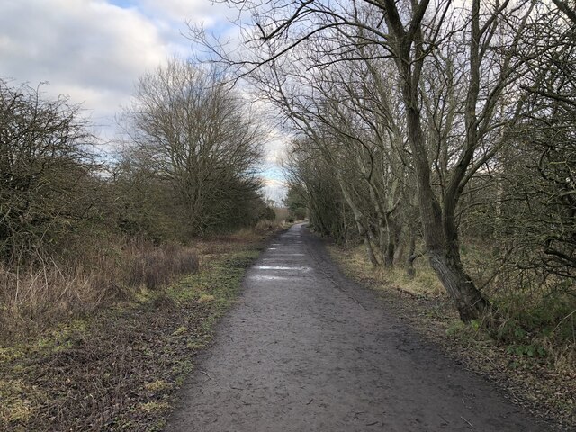
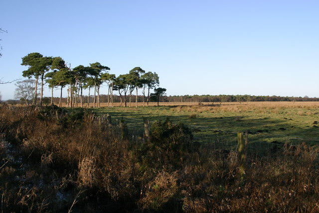
For those seeking outdoor activities, Dinnington is surrounded by stunning natural landscapes. The village is situated close to the Northumberland National Park and the Cheviot Hills, providing ample opportunities for hiking, cycling, and exploring the great outdoors.
Overall, Dinnington is a charming and historic village, offering a peaceful and close-knit community for its residents, as well as easy access to the natural beauty of Northumberland.
If you have any feedback on the listing, please let us know in the comments section below.
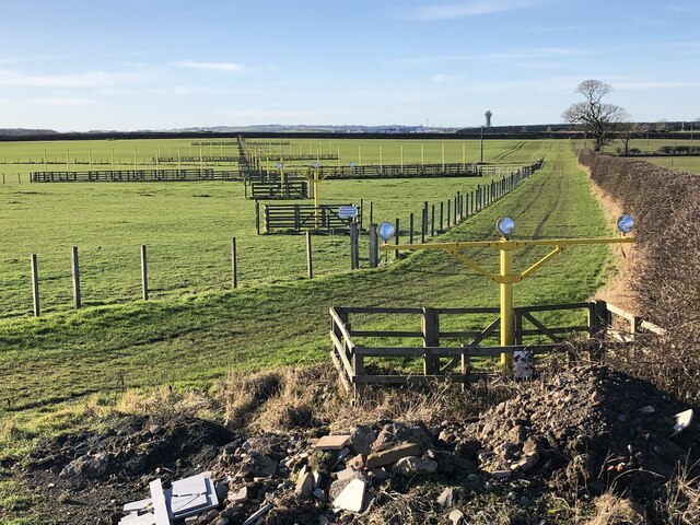
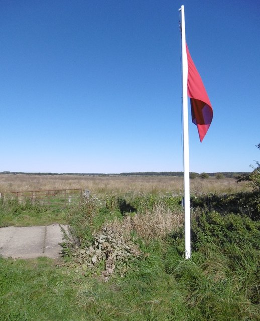
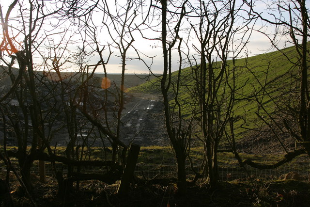
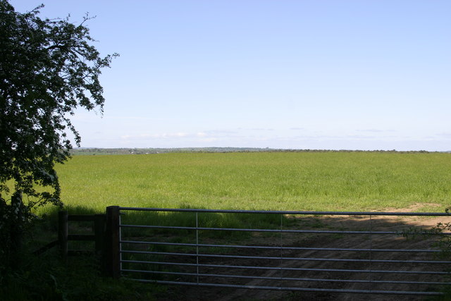
Dinnington Images
Images are sourced within 2km of 55.053973/-1.6752586 or Grid Reference NZ2073. Thanks to Geograph Open Source API. All images are credited.


Dinnington is located at Grid Ref: NZ2073 (Lat: 55.053973, Lng: -1.6752586)
Unitary Authority: Newcastle upon Tyne
Police Authority: Northumbria
What 3 Words
///mailings.forgiven.moves. Near Dinnington, Tyne & Wear
Nearby Locations
Related Wikis
Dinnington, Tyne and Wear
Dinnington is a village and civil parish in the city of Newcastle upon Tyne in Tyne and Wear, England. It is about 9 miles (14 km) north of the city centre...

Castle, Newcastle upon Tyne
Castle is a ward of the city of Newcastle upon Tyne in North East England. The ward encompasses the villages of Brunswick, Dinnington and Hazlerigg. Castle...
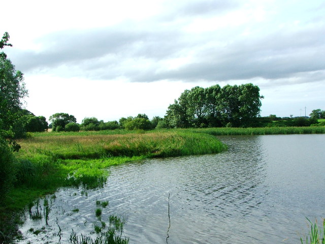
Prestwick Carr
Prestwick Carr is a large area of low-lying wetland on the northern boundary of the city of Newcastle upon Tyne in northeastern England between Dinnington...
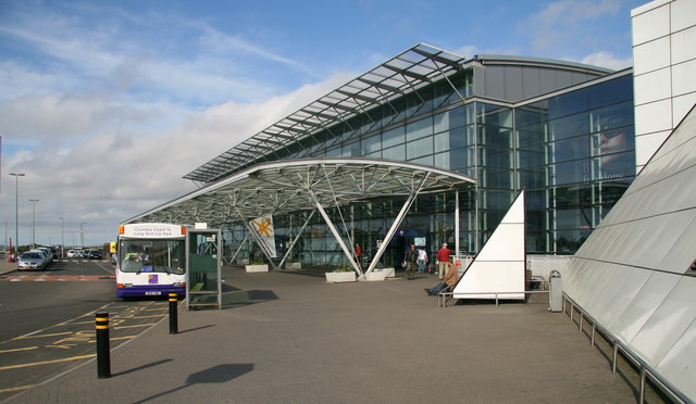
Newcastle International Airport
Newcastle International Airport (IATA: NCL, ICAO: EGNT) is an international airport in Newcastle upon Tyne, England. Located approximately 7.7 mi (12.4...
Nearby Amenities
Located within 500m of 55.053973,-1.6752586Have you been to Dinnington?
Leave your review of Dinnington below (or comments, questions and feedback).