Dinnington
Civil Parish in Northumberland Newcastle upon Tyne
England
Dinnington
Dinnington is a small civil parish located in the county of Northumberland, England. Situated approximately 13 miles north-west of Newcastle upon Tyne, it is part of the administrative district of Newcastle. Dinnington is surrounded by picturesque countryside and is bordered by the parishes of Ponteland, Stamfordham, and Berwick Hill.
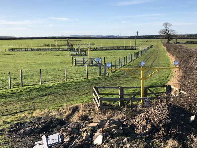
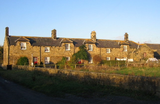
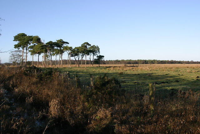
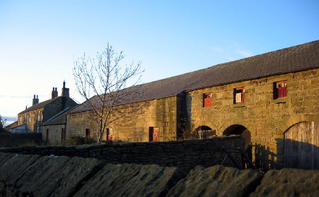
The population of Dinnington is relatively small, with just over 1,000 residents according to the latest census data. The parish is primarily a rural area, characterized by its open fields, farmland, and charming villages. The landscape is dotted with traditional stone-built houses and farmsteads, adding to the area's rustic charm.
Despite its rural setting, Dinnington benefits from its proximity to Newcastle upon Tyne, which offers a range of amenities and employment opportunities. The city can be easily reached by road, with the A1 road passing nearby, providing convenient access to both Newcastle and other parts of the country.
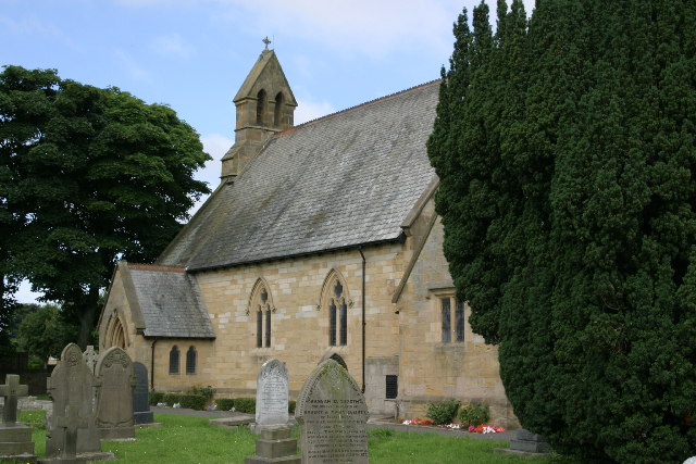
In terms of local amenities, Dinnington has a community hall that serves as a hub for social gatherings and events. There are also several churches and a primary school in the area, catering to the educational needs of the local population.
Dinnington is an ideal location for those seeking a peaceful and idyllic countryside setting, while still having access to the amenities and opportunities of a nearby city. With its beautiful landscapes and close-knit community, it offers a tranquil and charming place to call home.
If you have any feedback on the listing, please let us know in the comments section below.
Dinnington Images
Images are sourced within 2km of 55.059151/-1.676975 or Grid Reference NZ2073. Thanks to Geograph Open Source API. All images are credited.


Dinnington is located at Grid Ref: NZ2073 (Lat: 55.059151, Lng: -1.676975)
Administrative County: Tyne and Wear
District: Newcastle upon Tyne
Police Authority: Northumbria
What 3 Words
///pebbles.pelt.reflector. Near Dinnington, Tyne & Wear
Nearby Locations
Related Wikis

Castle, Newcastle upon Tyne
Castle is a ward of the city of Newcastle upon Tyne in North East England. The ward encompasses the villages of Brunswick, Dinnington and Hazlerigg. Castle...
Dinnington, Tyne and Wear
Dinnington is a village and civil parish in the city of Newcastle upon Tyne in Tyne and Wear, England. It is about 9 miles (14 km) north of the city centre...
Prestwick Carr
Prestwick Carr is a large area of low-lying wetland on the northern boundary of the city of Newcastle upon Tyne in northeastern England between Dinnington...
Brenkley
Brenkley is a hamlet and former civil parish about 6 miles from Newcastle upon Tyne, now in the parish of Dinnington, in the Newcastle upon Tyne district...
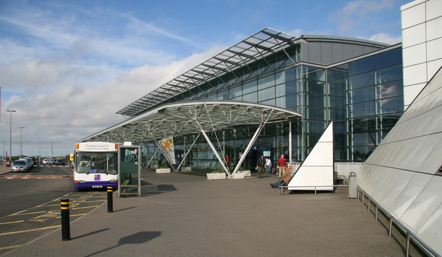
Newcastle International Airport
Newcastle International Airport (IATA: NCL, ICAO: EGNT) is an international airport in Newcastle upon Tyne, England. Located approximately 7.7 mi (12.4...

Havannah Nature Reserve
Havannah Nature Reserve lies to the west of the village of Hazlerigg, approximately five miles north of the centre of Newcastle upon Tyne in the north...

RAF Woolsington
Royal Air Force Woolsington, or more simply RAF Woolsington, was a civilian airfield that was taken over by the RAF in 1939. It was returned to civilian...
Brunswick Village
Brunswick Village is a village split between North Tyneside and Newcastle upon Tyne, Tyne and Wear, England. It is situated approximately 6 miles north...
Nearby Amenities
Located within 500m of 55.059151,-1.676975Have you been to Dinnington?
Leave your review of Dinnington below (or comments, questions and feedback).