Dinnet

Settlement in Aberdeenshire

Scotland

Dinnet

Pheasants in the Road In the mornings there are usually upwards of 200 pheasants on and near the road. Between pheasants and potholes there is no temptation to drive at much more than walking pace.
Pheasants in the Road Credit: Anne Burgess

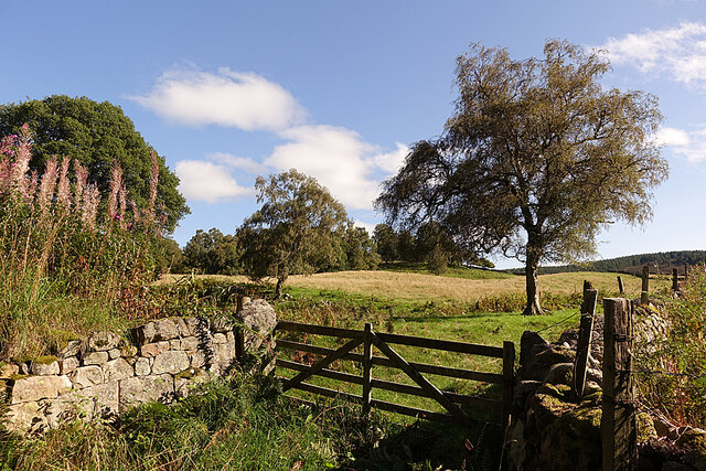
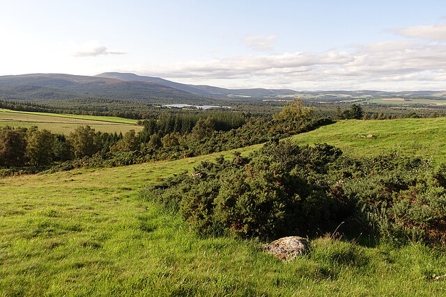
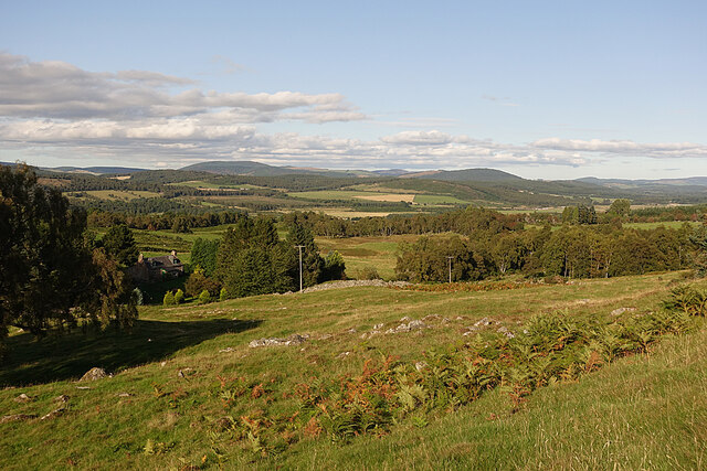
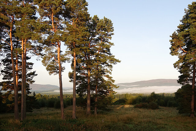
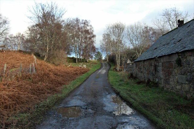
Dinnet is a small village located in Aberdeenshire, Scotland. Situated within the stunning Cairngorms National Park, it is surrounded by picturesque landscapes and offers a range of outdoor activities for nature enthusiasts. The village is situated approximately 40 miles west of Aberdeen, making it easily accessible for visitors.

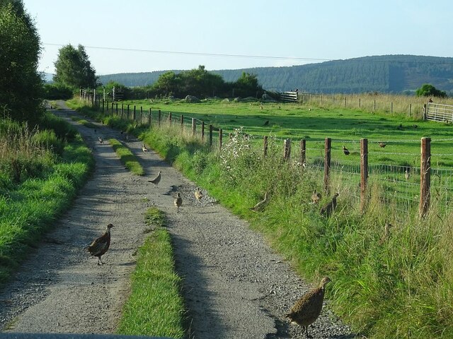
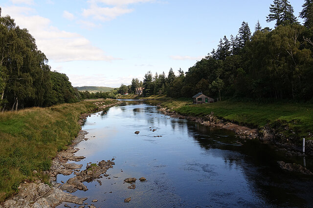
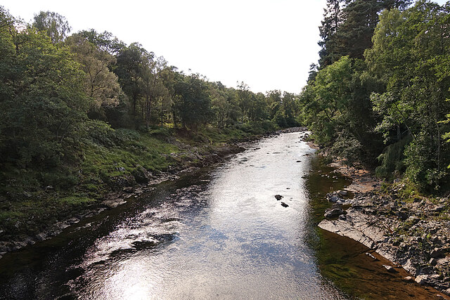
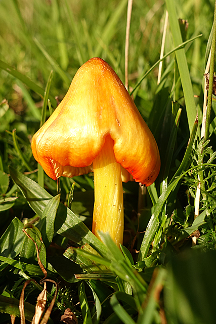
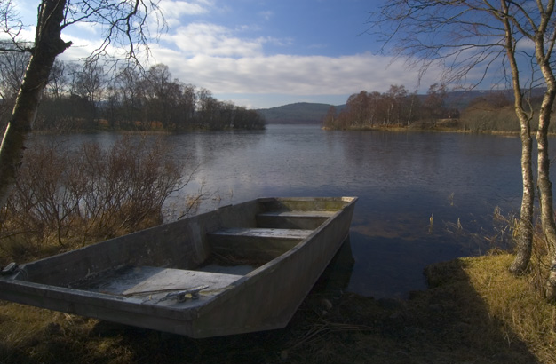
Dinnet is known for its beautiful Loch Kinord, a freshwater loch that attracts both locals and tourists alike. The loch is perfect for fishing, canoeing, and wildlife spotting, offering a tranquil setting and breathtaking views. The nearby Muir of Dinnet Nature Reserve is a haven for birdwatchers, home to a variety of bird species, including ospreys and red kites.

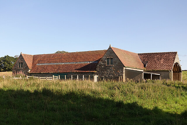
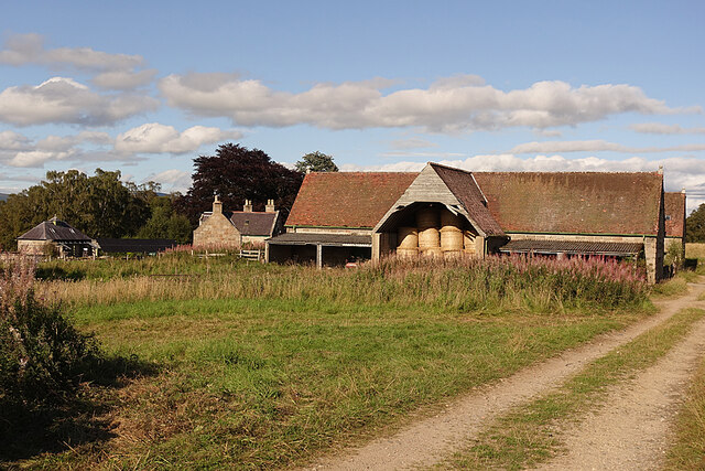
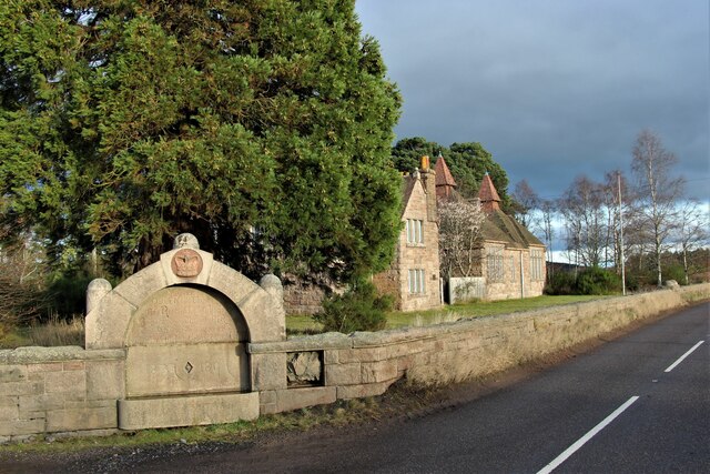
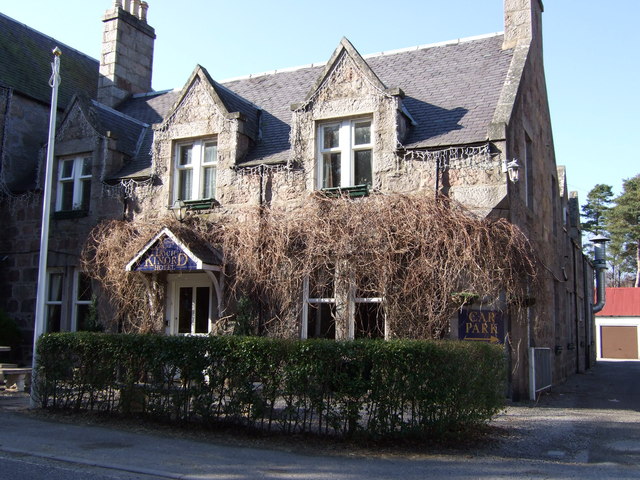
The village itself is steeped in history and charm, with traditional stone buildings and a friendly, welcoming atmosphere. The local pub and tearoom provide a cozy place to relax and enjoy a meal or a cup of tea. The village also has a small convenience store, providing essential supplies for residents and visitors.

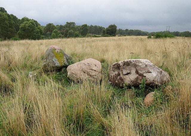
For those interested in history, Dinnet is home to several archaeological sites, including the Culsh Earth House, a well-preserved underground dwelling. The nearby Burn O'Vat, a giant pothole formed by glacial meltwater, is another popular attraction.

Overall, Dinnet offers a peaceful and scenic retreat in the heart of Aberdeenshire, with its stunning natural surroundings, outdoor activities, and historical landmarks making it a must-visit destination for nature lovers and history enthusiasts alike.

If you have any feedback on the listing, please let us know in the comments section below.
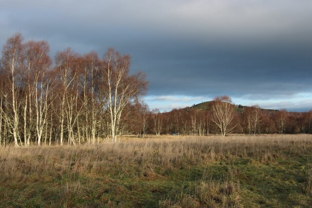
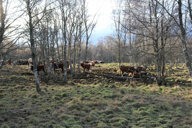
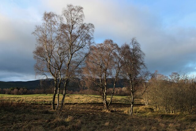
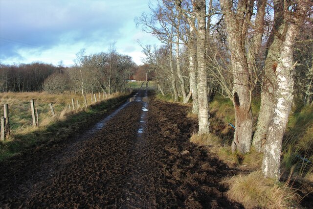
Dinnet Images

Images are sourced within 2km of 57.075281/-2.892075 or Grid Reference NO4698. Thanks to Geograph Open Source API. All images are credited.

Pheasants in the Road In the mornings there are usually upwards of 200 pheasants on and near the road. Between pheasants and potholes there is no temptation to drive at much more than walking pace.
Pheasants in the Road
In the mornings there are usually upwards of 200 pheasants on and near the road. Between pheasants and potholes there is no temptation to drive at much more than walking pace.
River Dee Looking downstream from the bridge at Dinnet. The water level is exceptionally low at the moment.
River Dee
Looking downstream from the bridge at Dinnet. The water level is exceptionally low at the moment.
River Dee Looking upstream from the bridge at Dinnet.
River Dee
Looking upstream from the bridge at Dinnet.
Field Gate The maps show a track along the edge of the field on the right.
Field Gate
The maps show a track along the edge of the field on the right.
Barn at Netherton Apparently several of the farms on Glen Tanar Estate boast one of these elaborate barns.
Barn at Netherton
Apparently several of the farms on Glen Tanar Estate boast one of these elaborate barns.
Barn at Netherton The large and elaborate barn at Netherton is evidently still in use. The small building on the left is a palatial hen-house.
Barn at Netherton
The large and elaborate barn at Netherton is evidently still in use. The small building on the left is a palatial hen-house.
Knoll above Newton From this knoll there is a fine view towards Loch Kinord and Morven.
Knoll above Newton
From this knoll there is a fine view towards Loch Kinord and Morven.
Fungus I think this may be a Hygrocybe. Please correct me if I am wrong.
Fungus
I think this may be a Hygrocybe. Please correct me if I am wrong.
Wester Newton Wester Newton is the house on the left. The view takes in a long stretch of Deeside, and the hills north of it, but the River Dee itself is hidden by the trees.
Wester Newton
Wester Newton is the house on the left. The view takes in a long stretch of Deeside, and the hills north of it, but the River Dee itself is hidden by the trees.
Morning Mist Morning mist lies on the low ground north of Deeside.
Morning Mist
Morning mist lies on the low ground north of Deeside.
Memorial at Glen Tanar school
River Dee at Fasnadarach
Winter birch woods at Dinnet
Cattle grazing in Dinnet birch woods
Birch trees near Loch Kinord
Track to New Kinord
Track to New Kinord
Road at Kinord cottages
Stones A friend had noticed a stone in the field, and wondered if it could be a standing stone. On investigation, however, they proved to be boulders cleared from the adjacent field.
Stones
A friend had noticed a stone in the field, and wondered if it could be a standing stone. On investigation, however, they proved to be boulders cleared from the adjacent field.
Show me another place!

Dinnet is located at Grid Ref: NO4698 (Lat: 57.075281, Lng: -2.892075)

Unitary Authority: Aberdeenshire

Police Authority: North East

What 3 Words

///headliner.reach.grudge. Near Aboyne, Aberdeenshire

Nearby Locations

Dinnet

Related Wikis

Dinnet railway station

Dinnet railway station was opened on 17 October 1866 by the Aboyne and Braemar Railway and served Dinnet village from 1899 to 1966 as an intermediate station...

Dinnet

Dinnet (Scottish Gaelic, Dùnaidh) is a village in the Marr area of Aberdeenshire, Scotland. Approximately equidistant from Deeside towns Aboyne and Ballater...
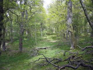
Dinnet Oakwood

Dinnet Oakwood is a Designated Special Area of Conservation located in Aberdeenshire, Scotland. It is located approximately 9 miles from Aboyne and six...
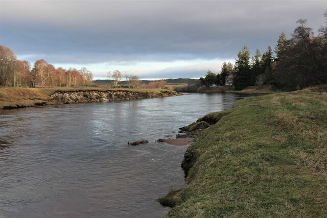
Loch Kinord

Loch Kinord is a small, freshwater loch at Muir of Dinnet, Aberdeenshire, Scotland just north of the River Dee and 5 mi (8 km) east of Ballater. The loch...

Nearby Amenities

Located within 500m of 57.075281,-2.892075
Crossing
Crossing: unmarked
Lat/Long: 57.0763723/-2.8928479
Kinord Hotel
Tourism: hotel
Lat/Long: 57.0764275/-2.8948004
Dinnet
Historic Railway: station
Railway: site
Wikidata: Q48814312
Wikipedia: en:Dinnet railway station
Lat/Long: 57.0765163/-2.8923564
Telephone
Booth: K6
Covered: booth
Lat/Long: 57.0773378/-2.8907262
803 end
Lat/Long: 57.0767875/-2.8928823
804 start
Lat/Long: 57.0768574/-2.8930196
Bus Stop
Crossroads
Bench: yes
Bin: no
Bus: yes
Naptan AtcoCode: 630041641
Naptan Bearing: NE
Naptan CommonName: Crossroads
Naptan Indicator: NE bound
Naptan NaptanCode: 23623287
Naptan Street: A93
Naptan Verified: no
Public Transport: platform
Shelter: yes
Source: naptan;bing;naptan_compare_tool
Tactile Paving: no
Lat/Long: 57.0771046/-2.8918005
Defibrillator
Emergency: defibrillator
Ref GB The Circuit: FEF3C439-AFCE-4CE4-9FB8-3D30D201071A
Lat/Long: 57.0765207/-2.8948273
Dinnet
Name Gd: Dùnaidh
Place: village
Wikidata: Q5278439
Wikipedia: en:Dinnet
Lat/Long: 57.0769599/-2.8926313
Post Box
Brand: Royal Mail
Brand Wikidata: Q638098
Collection Times: Mo-Fr 09:00; Sa 07:00
Operator: Royal Mail
Operator Wikidata: Q638098
Post Box Type: lamp
Ref: AB34 479
Royal Cypher: scottish_crown
Lat/Long: 57.0768845/-2.8930977
Recycling
Recycling Glass Bottles: yes
Recycling Type: container
Lat/Long: 57.0769157/-2.8935694
Noexit: yes
Lat/Long: 57.0766651/-2.8937119
Material: wood
Power: pole
Lat/Long: 57.0782875/-2.8974744
Material: wood
Power: pole
Lat/Long: 57.0782759/-2.8958789
Power: pole
Lat/Long: 57.0782679/-2.8945501
Power: pole
Lat/Long: 57.0782653/-2.8941574
Power: pole
Lat/Long: 57.0786264/-2.8927631
Power: pole
Lat/Long: 57.0793512/-2.8899043
Charging Station
Lat/Long: 57.0766299/-2.8947975
Bus Stop
Crossroads
Bench: yes
Bin: yes
Bus: yes
Check Date Bin: 2023-06-18
Lit: yes
Naptan AtcoCode: 630041651
Naptan Bearing: SW
Naptan CommonName: Crossroads
Naptan Indicator: SW bound
Naptan NaptanCode: 23623286
Naptan Street: A93
Naptan Verified: no
Public Transport: platform
Shelter: yes
Source: naptan;bing;naptan_compare_tool
Tactile Paving: no
Lat/Long: 57.0764608/-2.893678
Bench
Backrest: no
Survey Date: 2024-03-03
Lat/Long: 57.0773337/-2.8965
Defibrillator
Emergency: defibrillator
Indoor: no
Survey Date: 2024-03-03
Lat/Long: 57.0766362/-2.8938807
Vending Machine
Survey Date: 2024-03-03
Lat/Long: 57.0766077/-2.8935823
Waste Basket
Survey Date: 2024-03-03
Waste: trash
Lat/Long: 57.0766104/-2.8935692
The data included in this document is from www.openstreetmap.org. The data is made available under ODbL.

Have you been to Dinnet?

Leave your review of Dinnet below (or comments, questions and feedback).