Nutbane Copse

Wood, Forest in Hampshire Test Valley

England

Nutbane Copse

Leyswood, Wildhern, Hampshire House, once a row of 3. Originally a 3-bay timber frame of c1600, with cladding and extension of the late C18. Flint and thatch. 1 storey and attic, 4 above 6 windows. ½-hipped roof with exposed frame (C17 at the south C18 at the north) in the gables, eaves raised above dormers and lowered above a C20 open shallow porch. Horizontal flint panels, brick quoins, bands, cambered arches, plinth (indicating altered doorways). Casements. Plain door.

(Source:Historic England)
Leyswood, Wildhern, Hampshire Credit: Oswald Bertram

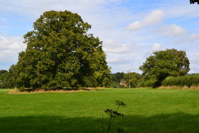
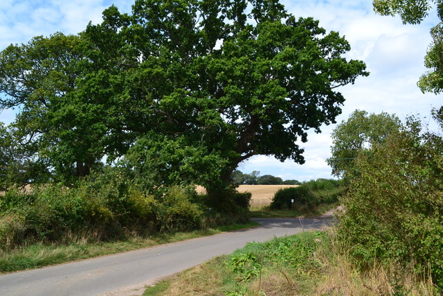
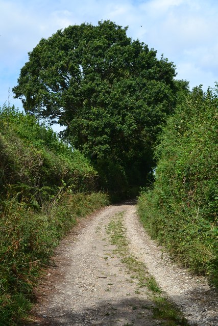
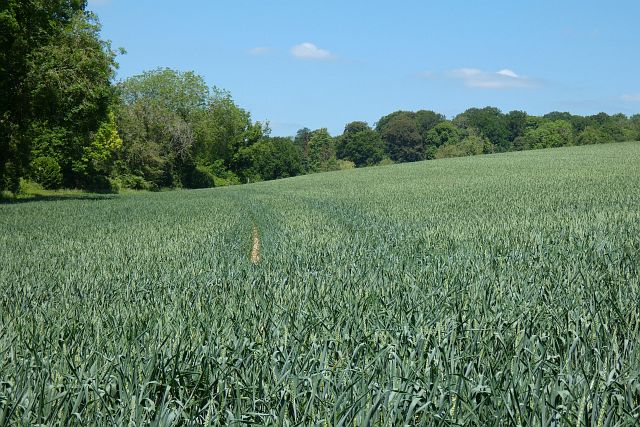
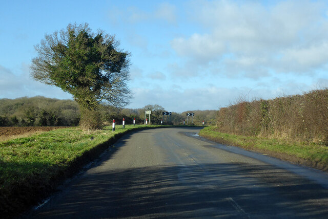
Nutbane Copse is a beautiful woodland located in Hampshire, England. Covering an area of approximately 100 acres, this enchanting forest is known for its diverse range of flora and fauna, making it a haven for nature lovers and wildlife enthusiasts.

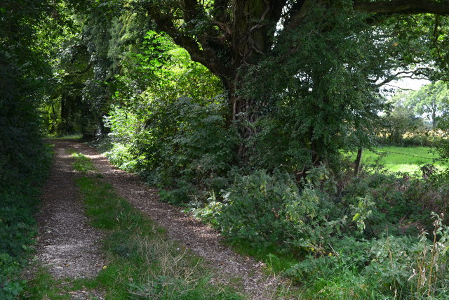
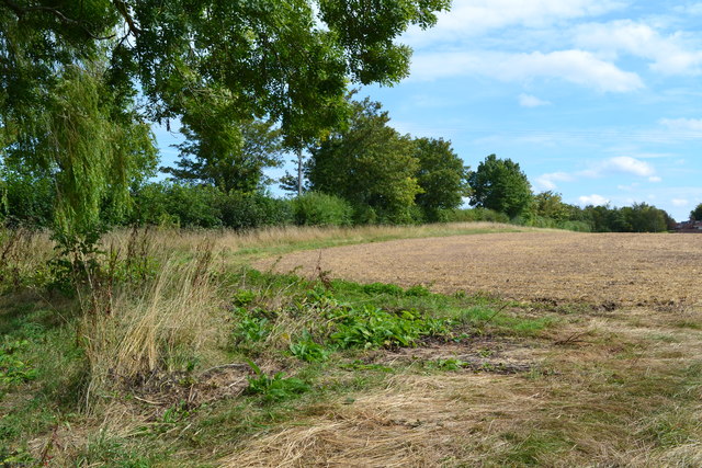
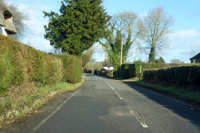
The copse is characterized by its dense canopy of towering trees, predominantly consisting of oak, beech, and ash. These majestic trees provide a serene and tranquil atmosphere, making it a popular destination for individuals seeking solace in nature. The forest floor is carpeted with a variety of wildflowers, ferns, and mosses, creating a vibrant and colorful landscape.

The copse is home to a plethora of wildlife species. Visitors may encounter a wide array of bird species, including the melodious song of the wood warbler and the distinctive call of the tawny owl. Squirrels can be spotted darting playfully between the branches, while badgers and foxes occasionally make an appearance during the twilight hours.

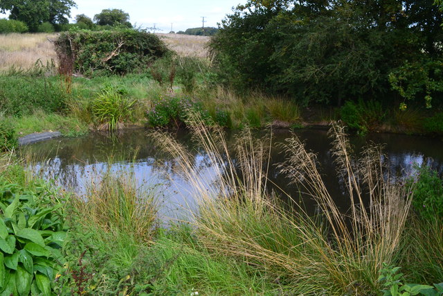
Nutbane Copse offers various walking trails, inviting visitors to explore its natural beauty. These trails wind through the forest, leading adventurers to discover hidden streams, small ponds, and picturesque clearings. The copse is also intersected by a small river, adding to the overall charm and serenity of the location.

The copse is a designated Site of Special Scientific Interest (SSSI), showcasing its ecological importance and biodiversity. It is managed by local conservation organizations, ensuring the preservation of its natural habitats and promoting sustainable practices.

Overall, Nutbane Copse is a captivating woodland that offers a tranquil escape from the hustle and bustle of everyday life, providing a haven for both nature enthusiasts and wildlife alike.

If you have any feedback on the listing, please let us know in the comments section below.

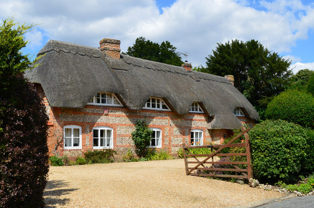
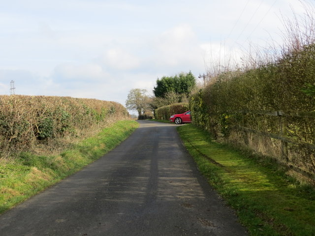
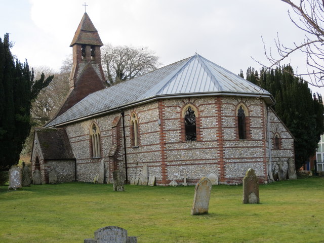
Nutbane Copse Images

Images are sourced within 2km of 51.246329/-1.5205613 or Grid Reference SU3349. Thanks to Geograph Open Source API. All images are credited.

Leyswood, Wildhern, Hampshire House, once a row of 3. Originally a 3-bay timber frame of c1600, with cladding and extension of the late C18. Flint and thatch. 1 storey and attic, 4 above 6 windows. ½-hipped roof with exposed frame (C17 at the south C18 at the north) in the gables, eaves raised above dormers and lowered above a C20 open shallow porch. Horizontal flint panels, brick quoins, bands, cambered arches, plinth (indicating altered doorways). Casements. Plain door.

(Source:Historic England)
Leyswood, Wildhern, Hampshire
House, once a row of 3. Originally a 3-bay timber frame of c1600, with cladding and extension of the late C18. Flint and thatch. 1 storey and attic, 4 above 6 windows. ½-hipped roof with exposed frame (C17 at the south C18 at the north) in the gables, eaves raised above dormers and lowered above a C20 open shallow porch. Horizontal flint panels, brick quoins, bands, cambered arches, plinth (indicating altered doorways). Casements. Plain door. (Source:Historic England)
Nutbane lane near Wood View Looking northward.
Nutbane lane near Wood View
Looking northward.
Hatchet Lane near the entrance to Pigeon House farm Looking eastward.
Hatchet Lane near the entrance to Pigeon House farm
Looking eastward.
Ordnance Survey Cut Mark This mark can be found on the wall of Christ Church at Hatherden.
For more detail see : <span class="nowrap"><a title="http://www.bench-marks.org.uk/bm80396" rel="nofollow ugc noopener" href="http://www.bench-marks.org.uk/bm80396">Link</a><img style="margin-left:2px;" alt="External link" title="External link - shift click to open in new window" src="https://s1.geograph.org.uk/img/external.png" width="10" height="10"/></span>
Ordnance Survey Cut Mark
This mark can be found on the wall of Christ Church at Hatherden. For more detail see : LinkExternal link
Christ Church at Hatherden Viewed from the south-east.
Christ Church at Hatherden
Viewed from the south-east.
Trees in field near Hatherden
Footpath near junction with Hungerford Lane
Pond at the northern end of Hungerford Lane
Field beside Wildhern Lane
Junction at the end of Hungerford Lane
White Hill Track following the line of a Roman road.
White Hill
Track following the line of a Roman road.
Direction Sign – Signpost Located southeast of the Y junction of Hatherden Lane and Sambourn Lane in Tangley parish. 3 arms and annulus finial. 

Milestone Society National ID: HA_SU3450
Direction Sign – Signpost
Located southeast of the Y junction of Hatherden Lane and Sambourn Lane in Tangley parish. 3 arms and annulus finial. Milestone Society National ID: HA_SU3450
Farmland, Tangley A crop of wheat on the eastern flank of a dry valley that runs up from Hatherden to Tangley.
Farmland, Tangley
A crop of wheat on the eastern flank of a dry valley that runs up from Hatherden to Tangley.
Hatherden Lane Towards Hatherden from Charlton.
Hatherden Lane
Towards Hatherden from Charlton.
Hatherden Lane Towards Hatherden from Charlton.
Hatherden Lane
Towards Hatherden from Charlton.
Looking from Hungerford Lane over to Christ Church, Hatherden
Looking from the old pump down to the fingerpost
Looking from the churchyard over to the village school
Show me another place!

Nutbane Copse is located at Grid Ref: SU3349 (Lat: 51.246329, Lng: -1.5205613)

Administrative County: Hampshire

District: Test Valley

Police Authority: Hampshire

What 3 Words

///topic.destiny.acquaint. Near Andover, Hampshire
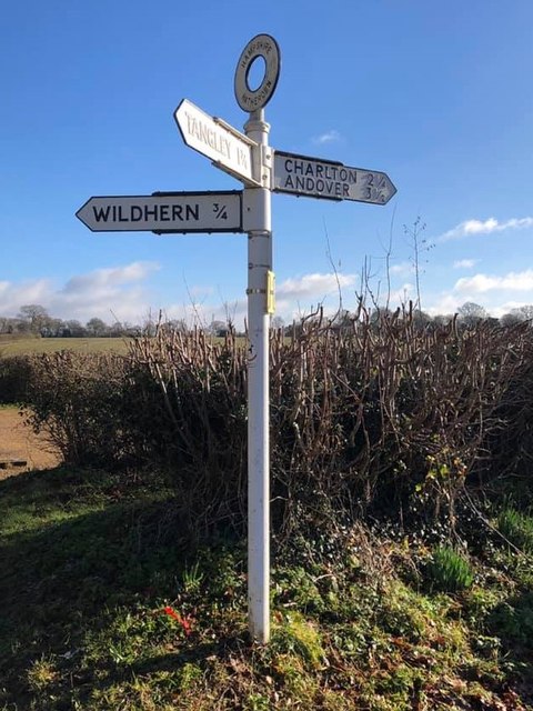
Nearby Locations

Nutbane Copse

Related Wikis

Hatherden

Hatherden is a village and civil parish in the Test Valley district of Hampshire, England. Its nearest town is Andover, which lies approximately 3.3 miles...

Little Hatherden

Little Hatherden is a small village in the civil parish of Hatherden in the Test Valley district of Hampshire, England. It is in the civil parish of Tangley...

Clanville

Clanville is a hamlet in the civil parish of Penton Grafton in the Test Valley district of Hampshire, England. The hamlet lies within the North Downs Area...

Wildhern

Wildhern is a small village and civil parish in the Test Valley district of Hampshire, England. It is in the civil parish of Tangley. Its nearest town...

Andover New Street F.C.

Andover New Street Football Club is a football club based in Andover, Hampshire, England. Affiliated to the Hampshire Football Association, they are currently...

Penton Mewsey

Penton Mewsey is a village and civil parish in Hampshire, England. It is located 2 miles (3.2 km) north-west of Andover. The village is home to approximately...

Penton Grafton

Penton Grafton is a village and civil parish in the Test Valley district of Hampshire, England. It is adjacent to the village and parish of Penton Mewsey...

Foxcotte

Foxcotte is a small hamlet in the civil parish of Charlton in the Test Valley district of Hampshire, England. Its nearest town is Andover, which only lies...

Nearby Amenities

Located within 500m of 51.246329,-1.5205613
The data included in this document is from www.openstreetmap.org. The data is made available under ODbL.

Have you been to Nutbane Copse?

Leave your review of Nutbane Copse below (or comments, questions and feedback).