Firtree Hill Plantation
Wood, Forest in Durham
England
Firtree Hill Plantation

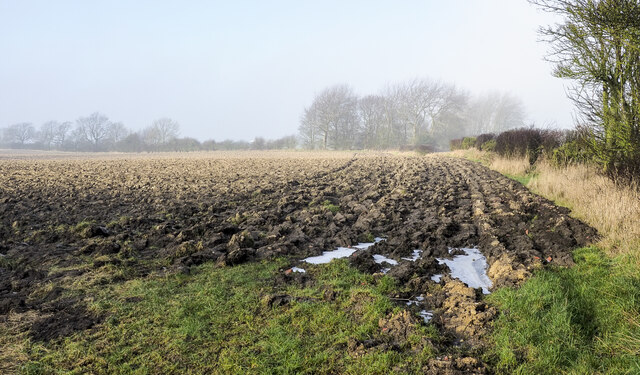
Firtree Hill Plantation is a charming woodland area located in Durham, England. Situated in the heart of a dense forest, the plantation is renowned for its magnificent collection of fir trees, which lend the area its name. Covering a sprawling area of approximately 100 acres, Firtree Hill Plantation offers visitors a serene and picturesque escape from the bustling city life.
The plantation is a nature lover's paradise, with its diverse range of flora and fauna. The towering fir trees dominate the landscape, providing a lush green canopy that creates a tranquil atmosphere. The forest floor is adorned with a variety of wildflowers, creating a vibrant burst of color. It is not uncommon to spot wildlife such as deer, rabbits, and squirrels roaming freely within the plantation.
Firtree Hill Plantation offers numerous walking trails, allowing visitors to explore its natural beauty at their own pace. These well-maintained paths wind through the forest, offering breathtaking views and a chance to immerse oneself in the peaceful ambiance. The plantation is also home to a small lake, where visitors can enjoy a leisurely picnic or even try their hand at fishing.
The plantation is a popular destination for nature enthusiasts, families, and photographers alike. Its idyllic setting makes it an ideal spot for capturing stunning photographs, particularly during the autumn months when the trees are ablaze with vibrant hues of orange and gold.
Overall, Firtree Hill Plantation in Durham is a captivating woodland oasis that offers a much-needed respite from the busyness of everyday life. Its natural beauty, diverse wildlife, and tranquil atmosphere make it a must-visit destination for anyone seeking a peaceful retreat in the heart of nature.
If you have any feedback on the listing, please let us know in the comments section below.
Firtree Hill Plantation Images
Images are sourced within 2km of 54.644597/-1.481515 or Grid Reference NZ3327. Thanks to Geograph Open Source API. All images are credited.


Firtree Hill Plantation is located at Grid Ref: NZ3327 (Lat: 54.644597, Lng: -1.481515)
Unitary Authority: County Durham
Police Authority: Durham
What 3 Words
///radiating.fonts.themes. Near Sedgefield, Co. Durham
Nearby Locations
Related Wikis

Sedgefield Racecourse
Sedgefield Racecourse is an English left-handed horse racing course, used for jump racing. It is owned by Arena Racing Company and located close to the...

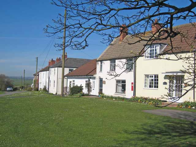
Bradbury, County Durham
Bradbury is a village in the County Durham district, in the ceremonial county of Durham, England. It is situated between Sedgefield and Newton Aycliffe...
Mordon
Mordon is a village and civil parish in County Durham, England. It is situated a few miles to the north-east of Newton Aycliffe. The population recorded...

Bradbury railway station
Bradbury railway station served the village of Bradbury, County Durham, England from 1844 to 1950 on the East Coast Main Line. == History == The station...
Hardwick Hall Country Park
Hardwick Hall Country Park is a park located in County Durham near Sedgefield. Since 7 October 1986, it has been registered on the Register of Parks and...

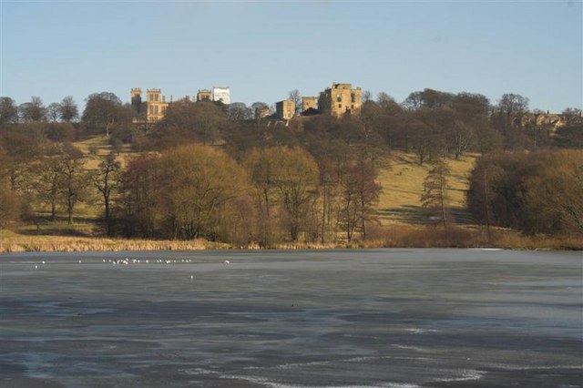
Hardwick Hall, County Durham
Hardwick Hall in Sedgefield, County Durham is a building of historical significance and is a Grade II listed building on the English Heritage Register...

Sedgefield
Sedgefield is a market town and civil parish in County Durham, England. It had a population of 5,211 as at the 2011 census. It has the only operating racecourse...
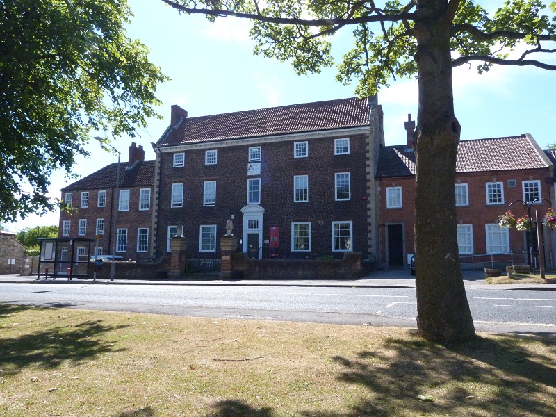
The Manor House, Sedgefield
The Manor House in Sedgefield, County Durham was built in 1707 on high ground in a country setting looking on to St. Edmund's Church as a mansion house...
Have you been to Firtree Hill Plantation?
Leave your review of Firtree Hill Plantation below (or comments, questions and feedback).