Ingmanthorpe Wood

Wood, Forest in Derbyshire North East Derbyshire

England

Ingmanthorpe Wood

Barley field near the Linacre Reservoirs Chesterfield is seen in the distance.
Barley field near the Linacre Reservoirs Credit: Bill Boaden

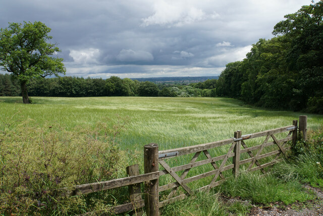
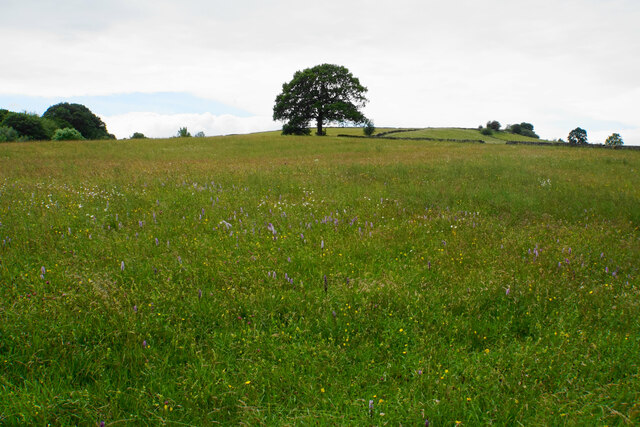
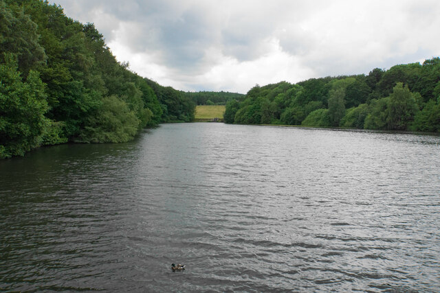
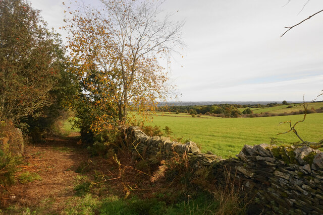
Ingmanthorpe Wood is a picturesque woodland located in Derbyshire, England. Spanning an area of approximately 50 hectares, this forest is a haven for nature enthusiasts and outdoor lovers. The wood is situated near the village of Ingmanthorpe, hence its name, and is easily accessible by foot or car.

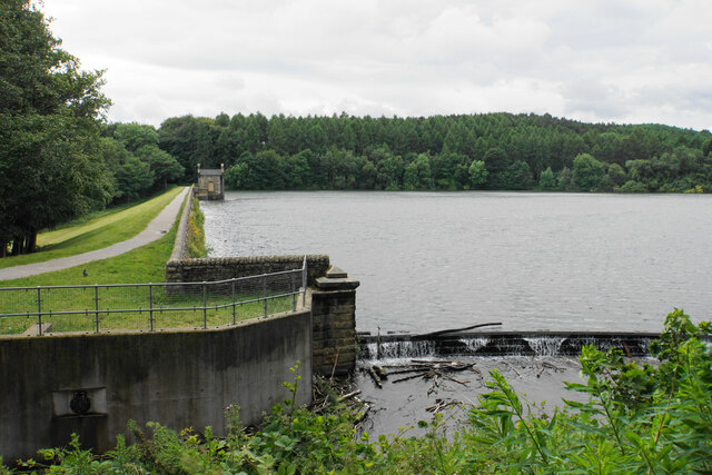
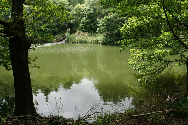
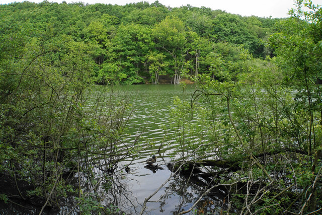
The woodland is known for its diverse range of flora and fauna, boasting a myriad of native tree species such as oak, beech, birch, and ash. These trees provide a dense canopy that offers shade and shelter for a variety of wildlife. A network of well-maintained footpaths winds through the woodland, allowing visitors to explore its beauty at their own pace.

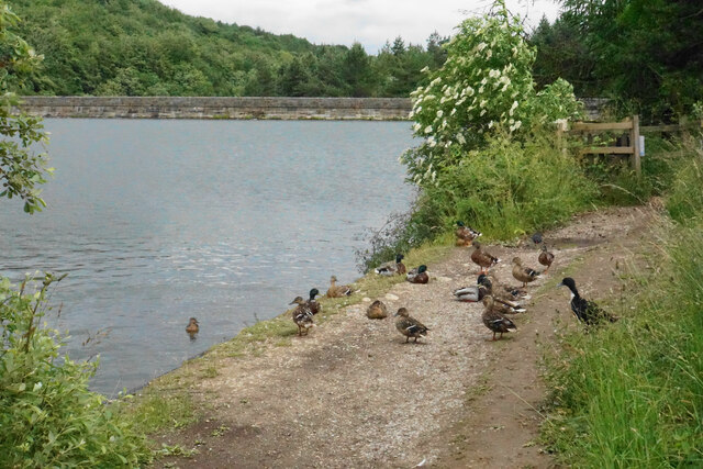
Ingmanthorpe Wood is a popular spot for birdwatching, as it is home to a wide range of avian species. Visitors may catch a glimpse of woodpeckers, nuthatches, and various songbirds darting between the trees. The wood is also inhabited by small mammals such as rabbits, squirrels, and foxes, making it an ideal location for wildlife enthusiasts keen on spotting these creatures in their natural habitat.

The tranquil atmosphere of Ingmanthorpe Wood makes it a perfect destination for those seeking solace in nature. The forest offers a sense of peace and serenity, with the only sounds being the rustling of leaves and the chirping of birds. It is a great place for a leisurely stroll, a family picnic, or simply to sit and admire the beauty of the surrounding landscape.

Overall, Ingmanthorpe Wood is a hidden gem in Derbyshire, offering a peaceful escape from the hustle and bustle of daily life. Its natural beauty and diverse wildlife make it a must-visit destination for nature lovers and outdoor enthusiasts alike.

If you have any feedback on the listing, please let us know in the comments section below.

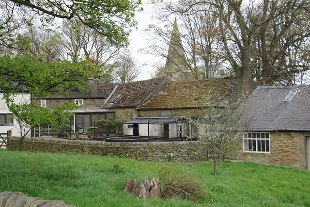
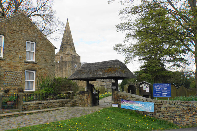
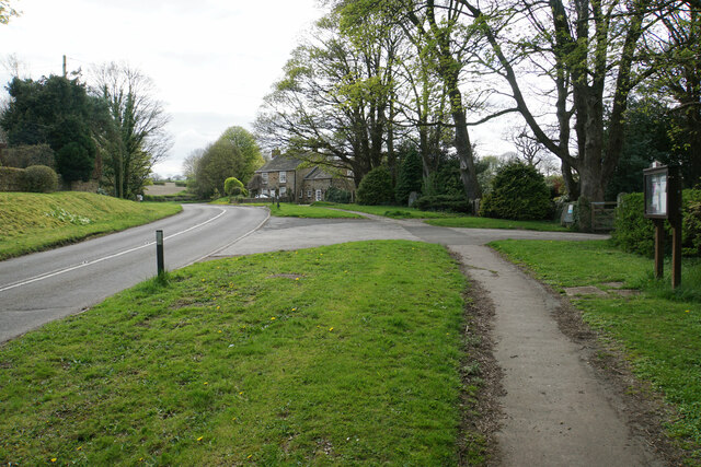
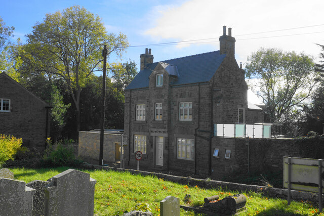
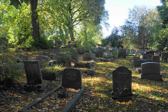
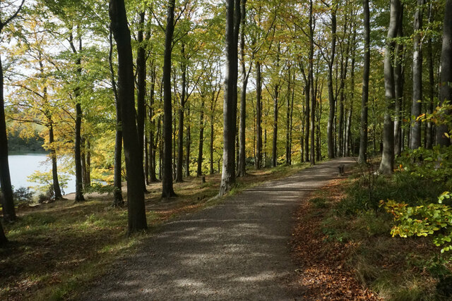
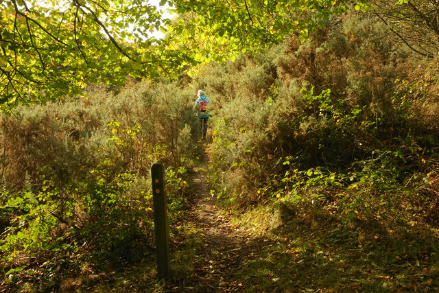
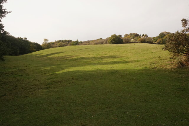
Ingmanthorpe Wood Images

Images are sourced within 2km of 53.257623/-1.4989555 or Grid Reference SK3373. Thanks to Geograph Open Source API. All images are credited.

Barley field near the Linacre Reservoirs Chesterfield is seen in the distance.
Barley field near the Linacre Reservoirs
Chesterfield is seen in the distance.
Outflow from Middle Linacre Reservoir
The head of Middle Linacre Reservoir Opposite is the outflow from the Upper Reservoir.
The head of Middle Linacre Reservoir
Opposite is the outflow from the Upper Reservoir.
Upper Linacre Reservoir Much of it is surrounded by ancient woodland.
Upper Linacre Reservoir
Much of it is surrounded by ancient woodland.
Meadow above Upper Linacre Reservoir The meadow has a wide diversity of plants, including marsh orchids.
Meadow above Upper Linacre Reservoir
The meadow has a wide diversity of plants, including marsh orchids.
Ducks gathering by Upper Linacre Reservoir The reservoir dam is seen behind.
Ducks gathering by Upper Linacre Reservoir
The reservoir dam is seen behind.
Lower Linacre Reservoir The smallest of the three reservoirs. The dam of the Middle Reservoir can be seen.
Lower Linacre Reservoir
The smallest of the three reservoirs. The dam of the Middle Reservoir can be seen.
Brampton, Woodnook Lane BM on roadside wall

Sk33427300
Brampton, Woodnook Lane
BM on roadside wall Sk33427300
Old Brampton A view of the old part of the village from a footpath approaching from the south.
Old Brampton
A view of the old part of the village from a footpath approaching from the south.
Parish church of St Peter & St Paul, Old Brampton A Grade I listed church dating from the 14th Century with Victorian renovations. The lych gate is one of a pair donated in 1937.
Parish church of St Peter & St Paul, Old Brampton
A Grade I listed church dating from the 14th Century with Victorian renovations. The lych gate is one of a pair donated in 1937.
Hemming Green The road is climbing steadily from Old Brampton. On the right is a parish council noticeboard.
Hemming Green
The road is climbing steadily from Old Brampton. On the right is a parish council noticeboard.
The former George & Dragon Once the village pub but now a private residence. It is viewed from the churchyard.
The former George & Dragon
Once the village pub but now a private residence. It is viewed from the churchyard.
The churchyard of St Peter & St Paul With restful autumn hues.
The churchyard of St Peter & St Paul
With restful autumn hues.
Path by Upper Linacre Reservoir Finally showing some autumn colour.
Path by Upper Linacre Reservoir
Finally showing some autumn colour.
Public footpath near Birley Wood The path goes through a patch of head-high gorse.
Public footpath near Birley Wood
The path goes through a patch of head-high gorse.
Field above Birley Brook Looking up towards Birley Farm in the trees on the top of the hill.
Field above Birley Brook
Looking up towards Birley Farm in the trees on the top of the hill.
Path down to Birley Brook The image doesn't convey the gradient, and the mud would be quite treacherous in wetter conditions.
Path down to Birley Brook
The image doesn't convey the gradient, and the mud would be quite treacherous in wetter conditions.
The end of a green lane At the top of Copy Wood which is to the left, and from where I had just emerged.
The end of a green lane
At the top of Copy Wood which is to the left, and from where I had just emerged.
Show me another place!

Ingmanthorpe Wood is located at Grid Ref: SK3373 (Lat: 53.257623, Lng: -1.4989555)

Administrative County: Derbyshire

District: North East Derbyshire

Police Authority: Derbyshire

What 3 Words

///gadget.similar.lawns. Near Walton, Derbyshire

Related Wikis

Ingmanthorpe, Derbyshire

Ingmanthorpe is a hamlet in Brampton, Derbyshire, England. Ingmanthorpe is located on the B6050 road some 3 miles (4.8 km) west of the town of Chesterfield...

Barlow, Derbyshire

Barlow is a village and civil parish in the North East Derbyshire district of Derbyshire, England. According to the 2001 census the parish had a population...

Old Brampton

Old Brampton is a village in the civil parish of Brampton, in the county of Derbyshire, England. It lies 3 miles to the west of Chesterfield, on a spur...

St Peter and St Paul's Church, Old Brampton

St Peter and St Paul's Church is a Grade I listed parish church in the Church of England in Old Brampton, Brampton, North East Derbyshire. == History... ==

Barlow Common

Barlow Common is a village in Derbyshire, England, near Barlow and Chesterfield. It includes the hamlet of Crowhole, which contains several buildings surviving...

Barlow Woodseats Hall

Barlow Woodseats Hall is a Grade II* listed manor house situated at Barlow Woodseats, on the edge of the village of Barlow, in Derbyshire. It remains the...

Brampton, North East Derbyshire

Brampton is a civil parish in North East Derbyshire, England, with a population of 1,201 in 2011. Lying 130 miles (210 km) north west of London, 20 miles...

St Mary's Catholic High School, Chesterfield

St Mary's Catholic High School is a Catholic, co-educational, secondary school with academy status in Upper Newbold, Chesterfield, Derbyshire, which specialises...

Nearby Amenities

Located within 500m of 53.257623,-1.4989555
Passing Place
Lat/Long: 53.2540579/-1.5008304
Passing Place
Lat/Long: 53.2532573/-1.5006232
Bus Stop
Bus: yes
Naptan AtcoCode: 1000DCBL0134
Naptan NaptanCode: dbsajdmd
Public Transport: platform
Lat/Long: 53.25562/-1.5010178
Barrier: stile
Steps: 1
Stile: stepover
Lat/Long: 53.2570553/-1.5040662
Barrier: stile
Steps: 1
Stile: stepover
Lat/Long: 53.2559646/-1.5035314
Barrier: stile
Steps: 2
Stile: wall
Lat/Long: 53.2576095/-1.5042021
Barrier: stile
Steps: 1
Stile: stepover
Lat/Long: 53.2582505/-1.5061852
Barrier: stile
Steps: 0
Stile: stepover
Lat/Long: 53.2579985/-1.5054539
Barrier: stile
Stile: squeezer
Lat/Long: 53.2580061/-1.505478
Bus Stop
Bus: yes
Public Transport: platform
Lat/Long: 53.255527/-1.4923893
Barrier: stile
Steps: 1
Stile: wall
Lat/Long: 53.2559336/-1.5035358
Barrier: stile
Steps: 1
Stile: stepover
Lat/Long: 53.2568569/-1.5042707
The data included in this document is from www.openstreetmap.org. The data is made available under ODbL.

Have you been to Ingmanthorpe Wood?

Leave your review of Ingmanthorpe Wood below (or comments, questions and feedback).