Green Wood

Wood, Forest in Derbyshire North East Derbyshire

England

Green Wood

Footpath from Lees Common Downhill.
Footpath from Lees Common Credit: steven ruffles

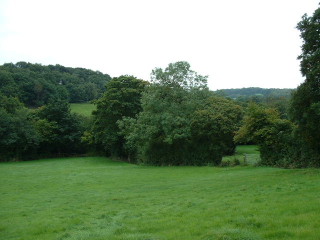
Green Wood is a picturesque forest located in Derbyshire, England. This enchanting woodland spans over a vast area, providing visitors with a tranquil and serene atmosphere. The forest is predominantly composed of various species of deciduous trees, including oak, beech, and birch, which create a stunning display of vibrant greenery throughout the year.

One of the most notable features of Green Wood is its diverse wildlife. The forest is home to a wide range of animal species, including deer, rabbits, foxes, and numerous bird species. Nature enthusiasts and birdwatchers will delight in spotting the different avian species that inhabit the woodland, such as woodpeckers, owls, and thrushes.

Green Wood offers a myriad of recreational activities for visitors to enjoy. There are several well-maintained walking trails that wind their way through the forest, providing an excellent opportunity for hikers and nature lovers to explore the surrounding beauty. The forest also boasts picnic areas, making it an ideal spot for families and friends to gather and enjoy a meal amidst nature.

Additionally, Green Wood is steeped in history and folklore. The forest has been a part of the local community for centuries and holds a sense of mystique. It is said to have inspired many local legends and tales, captivating the imagination of those who visit.

Overall, Green Wood in Derbyshire is a magnificent and enchanting forest, providing a haven for wildlife, a playground for outdoor enthusiasts, and a source of inspiration for all who visit.

If you have any feedback on the listing, please let us know in the comments section below.
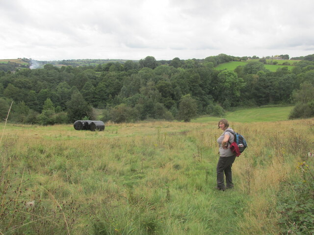
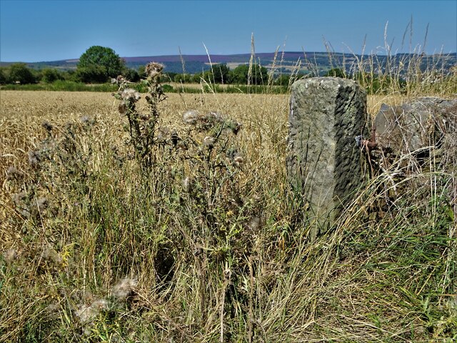
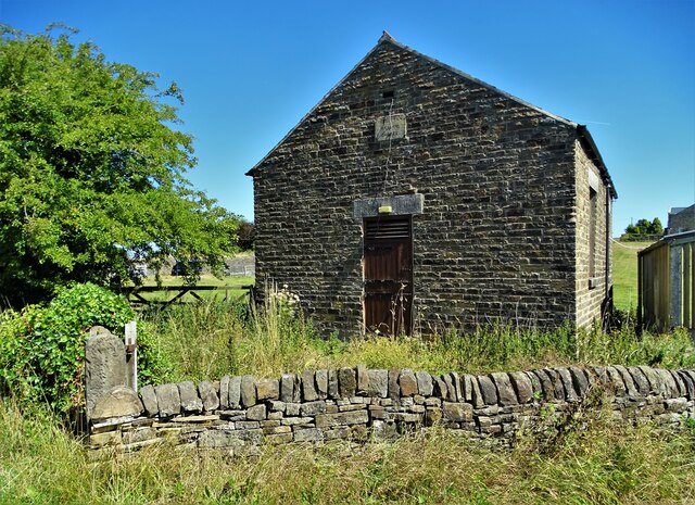
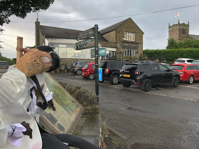
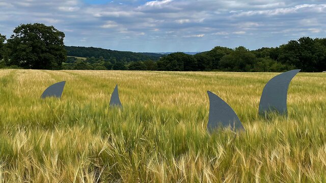
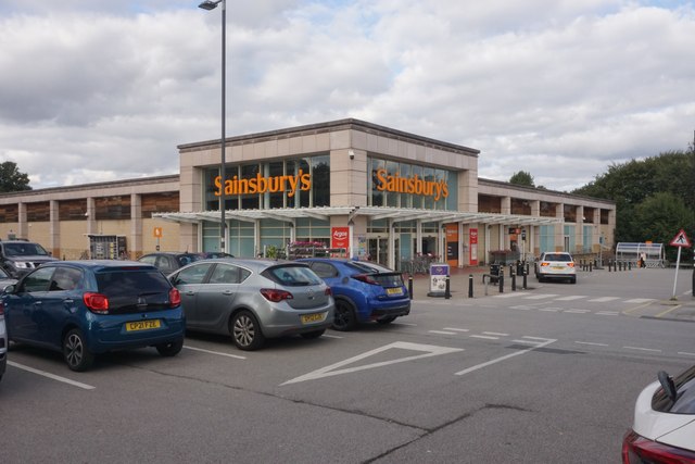
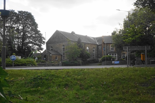
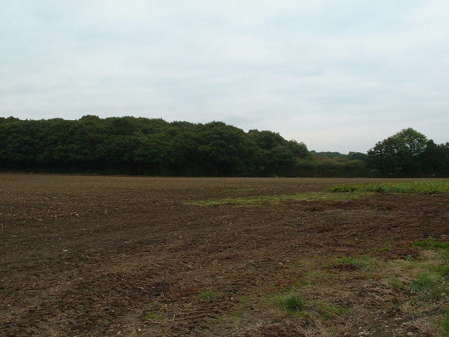
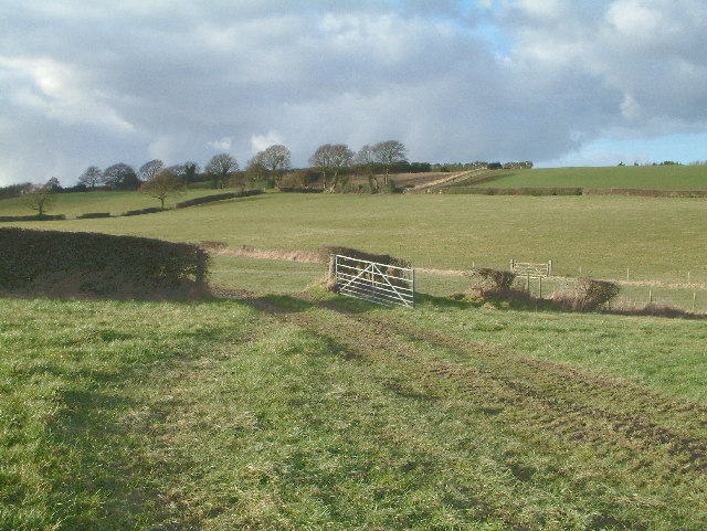
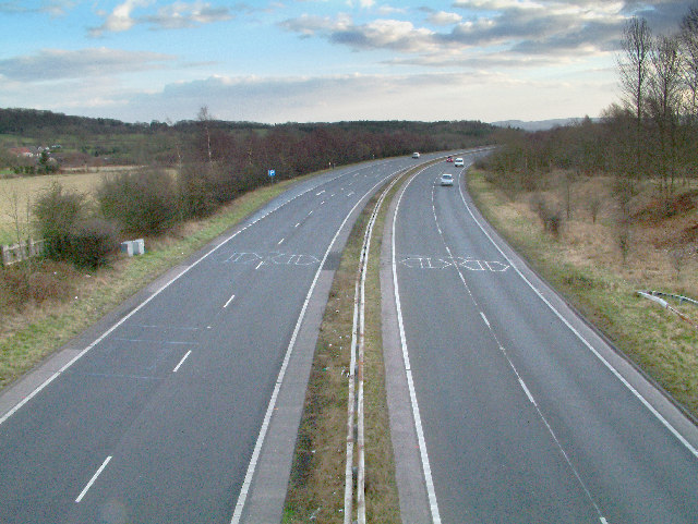
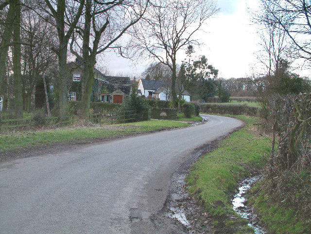
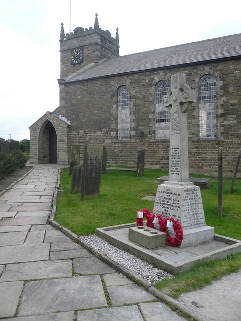
Green Wood Images

Images are sourced within 2km of 53.291536/-1.498559 or Grid Reference SK3377. Thanks to Geograph Open Source API. All images are credited.

Footpath from Lees Common Downhill.
Footpath from Lees Common
Downhill.
The Cowley Lane / Dobbin Lane junction
St Swithin's Church in Holmesfield Across the road from the George and Dragon pub.
St Swithin's Church in Holmesfield
Across the road from the George and Dragon pub.
The Manor House, Dronfield The Manor House is now Dronfield Library.
The Manor House, Dronfield
The Manor House is now Dronfield Library.
Gatepost at Holmesfield Common
Disused chapel at Holmesfield Common This Wesleyan Reform Chapel was erected in 1848. It could accommodate a hundred people.
Disused chapel at Holmesfield Common
This Wesleyan Reform Chapel was erected in 1848. It could accommodate a hundred people.
Angel and scarecrow, Holmesfield Popular gastro-pub next to St Swithin's Church. The rather dishevelled figure on the left would appear to be a remnant of the village's scarecrow hunt/festival/competition, maybe deliberately so, given the champagne glass in its hand, but in no worse a state than many of the others nearby.
Angel and scarecrow, Holmesfield
Popular gastro-pub next to St Swithin's Church. The rather dishevelled figure on the left would appear to be a remnant of the village's scarecrow hunt/festival/competition, maybe deliberately so, given the champagne glass in its hand, but in no worse a state than many of the others nearby.
Strange sight in a field of barley One of the features of the visitor attraction at Village Sunflowers
Strange sight in a field of barley
One of the features of the visitor attraction at Village Sunflowers
Sainsbury's in Dronfield A relatively small supermarket compared with many of their stores.
Sainsbury's in Dronfield
A relatively small supermarket compared with many of their stores.
Dronfield Baptist Church As seen from the Sainsbury's car park. There is a roundabout in front of it which is the beginning of the town's High Street.
Dronfield Baptist Church
As seen from the Sainsbury's car park. There is a roundabout in front of it which is the beginning of the town's High Street.
Fields near Bradley lane farm
Farmland near Millthorpe East of Millthorpe near B6051
Farmland near Millthorpe
East of Millthorpe near B6051
Near Dronfield Woodhouse. A view looking north west from the Dronfield Woodhouse to Holmsfield road.
Near Dronfield Woodhouse.
A view looking north west from the Dronfield Woodhouse to Holmsfield road.
Holmsfield. This picture shows the main road passing through Holmsfield.
Holmsfield.
This picture shows the main road passing through Holmsfield.
Holmsfield. The Horns Inn public house.
Holmsfield.
The Horns Inn public house.
Countryside near Cowley A view looking in a south westerly direction with the small village of Cowley just visible in the distance.
Countryside near Cowley
A view looking in a south westerly direction with the small village of Cowley just visible in the distance.
The Hyde Park inn.
The Hyde Park inn.
Dronfield bypass. A view looking south down the A61 Dronfield bypass.
Dronfield bypass.
A view looking south down the A61 Dronfield bypass.
Show me another place!

Green Wood is located at Grid Ref: SK3377 (Lat: 53.291536, Lng: -1.498559)

Administrative County: Derbyshire

District: North East Derbyshire

Police Authority: Derbyshire

What 3 Words

///mime.removals.pleasing. Near Dronfield, Derbyshire

Related Wikis

Cowley, Derbyshire

Cowley is a small dispersed hamlet in North East Derbyshire, consisting of a few private houses and functioning farms strung out along Cowley Lane, which...

Cartledge

Cartledge is a hamlet in Derbyshire, England. It is 10 kilometres (6 mi) southwest of Sheffield, and just south of the village of Holmesfield. Its name...

Holmesfield

Holmesfield is a village and civil parish in the English county of Derbyshire. The population of the civil parish at the 2011 census was 971. The name...

Dronfield Woodhouse

Dronfield Woodhouse is a district of Dronfield, in North East Derbyshire, England. The area has been inhabited since at least the 11th century (Cowley...

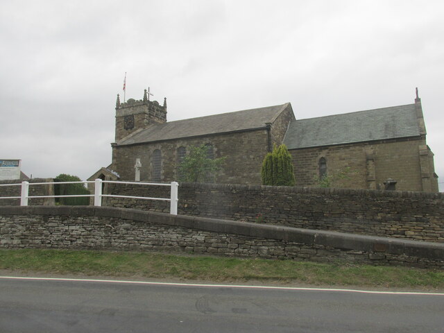
St Swithin's Church, Holmesfield

St Swithin's Church is a Grade II listed parish church in the Church of England in Holmesfield, Derbyshire. == History == The church dates from 1727 with...
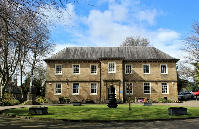
Dronfield Manor

Dronfield Manor is an early 18th-century manor house situated at Dronfield, Derbyshire, which is occupied by the town library. It is a Grade II listed...

St John the Baptist's Church, Dronfield

St John the Baptist’s Church, Dronfield is a Grade I listed parish church in the Church of England in Dronfield, Derbyshire. == History == The church...

Barlow Common

Barlow Common is a village in Derbyshire, England, near Barlow and Chesterfield. It includes the hamlet of Crowhole, which contains several buildings surviving...

Nearby Amenities

Located within 500m of 53.291536,-1.498559
Cowley
Is In: Derbyshire, England, UK
Place: hamlet
Wikidata: Q5179754
Lat/Long: 53.2892779/-1.4959293
Ele: 197
Lat/Long: 53.2896368/-1.5035236
Barrier: stile
Ele: 193.5897217
Stile: squeezer
Lat/Long: 53.2883188/-1.5032327
Barrier: stile
Ele: 192.6284180
Stile: squeezer
Lat/Long: 53.2883089/-1.5032082
Barrier: stile
Ele: 192.6284180
Steps: 1
Stile: stepover
Lat/Long: 53.2880792/-1.5022509
Barrier: stile
Ele: 189
Steps: 1
Stile: stepover
Lat/Long: 53.2878101/-1.501482
Ele: 189
Lat/Long: 53.287808/-1.5014776
Barrier: stile
Stile: squeezer
Lat/Long: 53.2910883/-1.5037554
Ele: 188
Lat/Long: 53.2878022/-1.5014629
Bench
Lat/Long: 53.2889441/-1.4984213
Barrier: stile
Dog Gate: yes
Ele: 157
Steps: 1
Stile: stepover
Lat/Long: 53.2894403/-1.49288
Ele: 166
Lat/Long: 53.2915612/-1.491717
Barrier: stile
Steps: 1
Stile: stepover
Lat/Long: 53.2915583/-1.4917699
Barrier: stile
Steps: 1
Stile: stepover
Lat/Long: 53.2912582/-1.4946053
Barrier: stile
Lat/Long: 53.2914762/-1.50236
Barrier: stile
Lat/Long: 53.2937924/-1.4985844
Barrier: stile
Lat/Long: 53.2941491/-1.4973768
Barrier: stile
Lat/Long: 53.2953118/-1.4945129
Barrier: stile
Lat/Long: 53.2950182/-1.4957442
Turning Circle
Lat/Long: 53.2909217/-1.5004421
Post Box
Post Box Type: wall
Ref: S18 461
Lat/Long: 53.2907406/-1.5007644
Bench
Lat/Long: 53.2911078/-1.5038646
Bench
Lat/Long: 53.2893564/-1.4934778
The data included in this document is from www.openstreetmap.org. The data is made available under ODbL.

Have you been to Green Wood?

Leave your review of Green Wood below (or comments, questions and feedback).