Elm Copse
Wood, Forest in Berkshire
England
Elm Copse

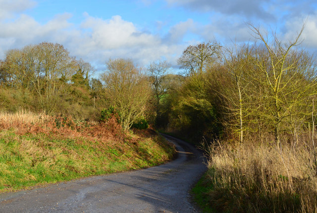
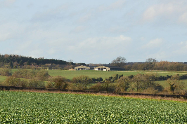
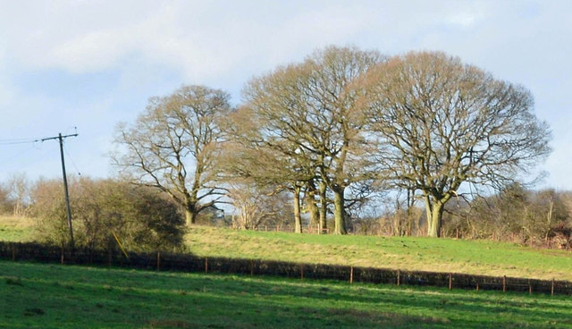
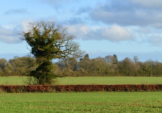
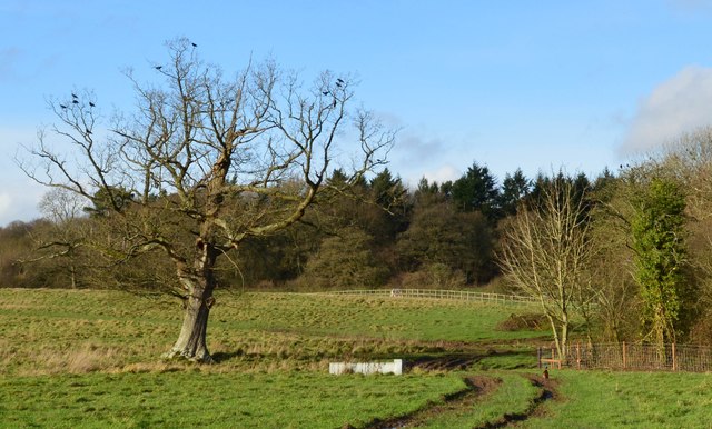
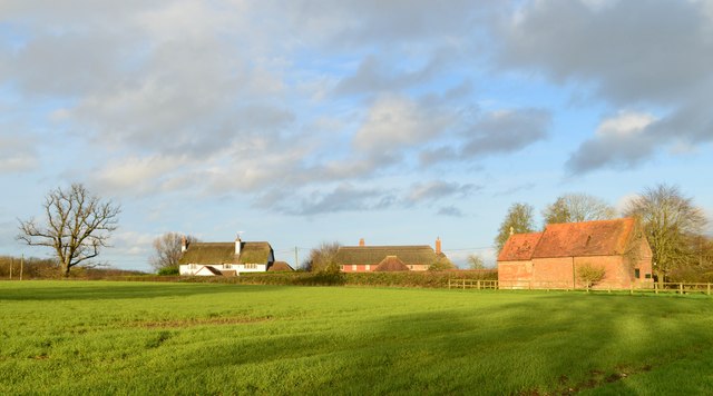
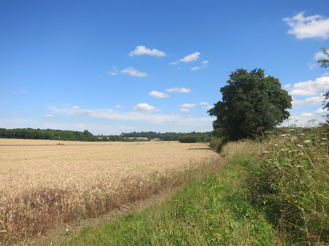
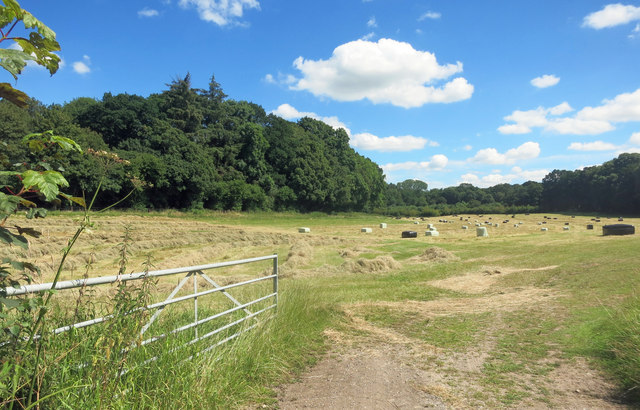
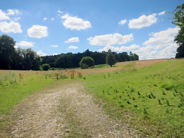
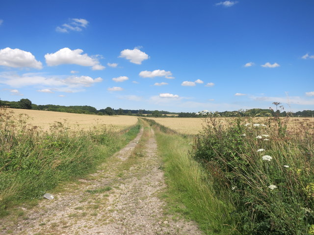
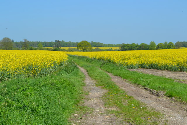
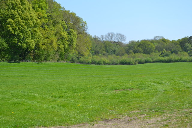
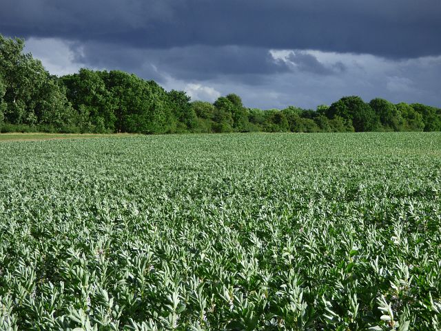
Elm Copse is a picturesque woodland located in the county of Berkshire, England. Covering an area of approximately 50 acres, it is known for its dense growth of elm trees, hence the name. The copse is situated in a rural area, surrounded by rolling hills and scenic countryside, offering visitors a peaceful and tranquil experience.
The woodland is a popular destination for nature enthusiasts and hikers, who appreciate its natural beauty and the diverse range of wildlife that inhabits the area. Elm Copse is home to a variety of bird species, including woodpeckers, nightingales, and owls, making it a haven for birdwatchers. The forest floor is also rich in flora, with a carpet of wildflowers, ferns, and moss adding to its enchanting ambiance.
The copse is crisscrossed by a network of walking trails, allowing visitors to explore the area at their own pace. These trails meander through the woodland, leading to hidden clearings, babbling brooks, and small ponds. Along the way, walkers can also come across remnants of ancient trees, some of which date back several centuries.
Elm Copse is carefully managed by local conservation groups, ensuring the preservation of its natural ecosystem while allowing public access. The woodland provides an important habitat for a range of wildlife, contributing to the overall biodiversity of the region.
Overall, Elm Copse offers a delightful escape from the hustle and bustle of everyday life, allowing visitors to immerse themselves in the beauty of nature. Whether it is a leisurely stroll or a birdwatching adventure, this enchanting woodland promises a memorable experience for all who venture within its bounds.
If you have any feedback on the listing, please let us know in the comments section below.
Elm Copse Images
Images are sourced within 2km of 51.388116/-1.519513 or Grid Reference SU3365. Thanks to Geograph Open Source API. All images are credited.


Elm Copse is located at Grid Ref: SU3365 (Lat: 51.388116, Lng: -1.519513)
Unitary Authority: West Berkshire
Police Authority: Thames Valley
What 3 Words
///swelling.ridiculed.unloads. Near Hungerford, Berkshire
Nearby Locations
Related Wikis

Anvilles
Anvilles is a hamlet in the English county of Berkshire, and within the civil parish of Inkpen (formerly in Kintbury). == See also == Civil parishes in...

John O'Gaunt School
John O'Gaunt School is a coeducational secondary school in Hungerford, Berkshire, England for students aged 11 to 16. It was Berkshire's first community...

Hungerford Town F.C.
Hungerford Town Football Club is a semi-professional football club based in Hungerford, Berkshire, England. Affiliated to the Berks & Bucks Football Association...

Ham, Wiltshire
Ham is a small village and civil parish in Wiltshire, England. The parish borders the county of Berkshire, and the village lies about 3+1⁄4 miles (5.2...
Hungerford Rural District
Hungerford Rural District was a rural district in Berkshire, England from 1894 to 1974, covering an area in the south-west of the county. == Evolution... ==
Hungerford
Hungerford is a historic market town and civil parish in Berkshire, England, 8 miles (13 km) west of Newbury, 9 miles (14 km) east of Marlborough, 27 miles...

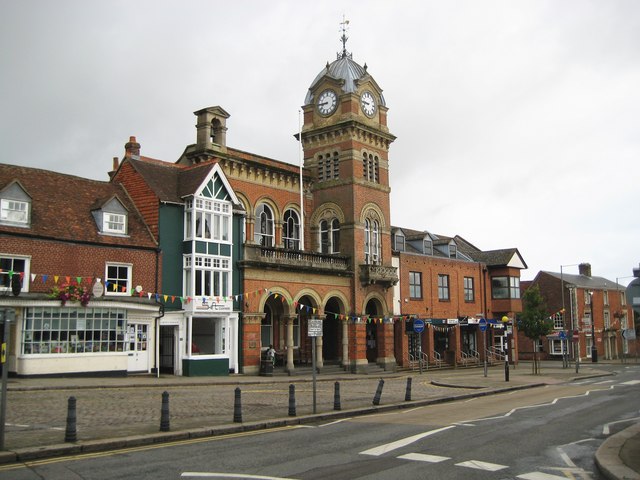
Hungerford Town Hall
Hungerford Town Hall is a municipal building in the High Street, Hungerford, Berkshire, England. The town hall, which is the meeting place of Hungerford...
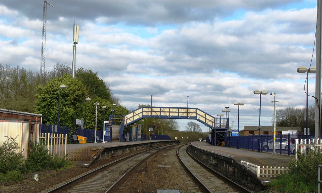
Hungerford railway station
Hungerford railway station is a railway station that serves the historic market town of Hungerford in Berkshire, England. It is 61 miles 43 chains (61...
Have you been to Elm Copse?
Leave your review of Elm Copse below (or comments, questions and feedback).