Allens Wood
Wood, Forest in Oxfordshire West Oxfordshire
England
Allens Wood
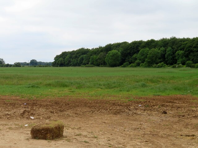
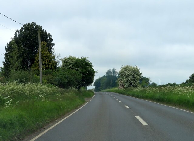
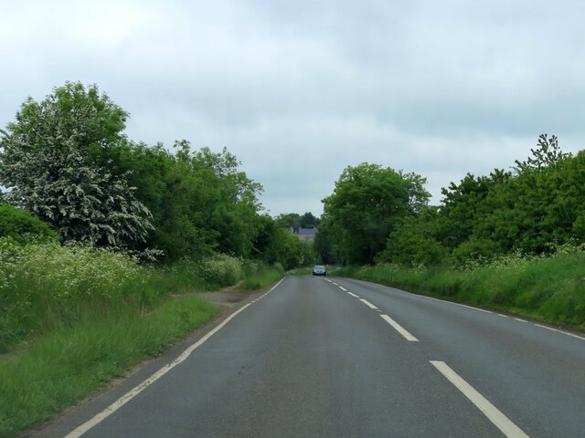
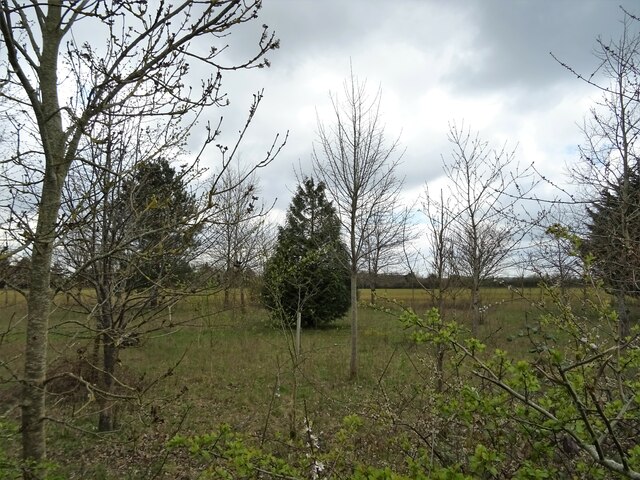
Allens Wood is a picturesque forest located in Oxfordshire, England. Covering an area of approximately 50 acres, it is a popular destination for nature enthusiasts and hikers alike. The wood is situated near the small village of Allens, which lends its name to the woodland.
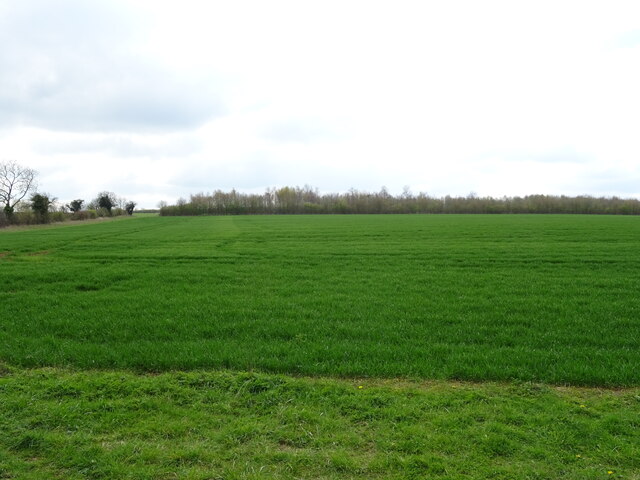
The forest is characterized by its dense canopy of towering trees, providing a tranquil and serene atmosphere. The dominant tree species found in Allens Wood include oak, beech, and birch, offering a diverse range of colors throughout the seasons. The forest floor is adorned with a variety of wildflowers, adding a splash of vibrant hues to the landscape.
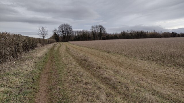
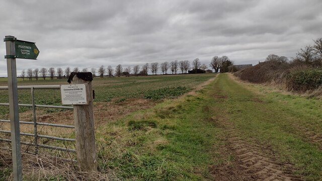
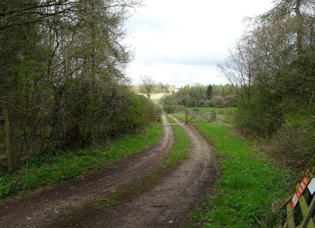
A network of well-maintained footpaths and trails crisscrosses Allens Wood, allowing visitors to explore its beauty at their own pace. These paths lead to hidden gems within the forest, such as a secluded pond teeming with aquatic life and a small clearing perfect for picnics or relaxation.
The wood is also home to a rich array of wildlife, making it a paradise for nature lovers. Squirrels can be seen darting between the trees, while numerous species of birds, including woodpeckers and robins, fill the air with their melodious songs. Lucky visitors may even catch a glimpse of larger mammals, such as deer or foxes, which occasionally roam through the wood.
Allens Wood offers a tranquil escape from the hustle and bustle of everyday life, providing a serene environment for individuals seeking solace in nature. Its breathtaking beauty, diverse flora and fauna, and well-maintained trails make it a perfect destination for outdoor enthusiasts and those simply looking to reconnect with the natural world.
If you have any feedback on the listing, please let us know in the comments section below.
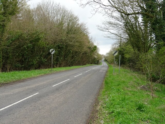
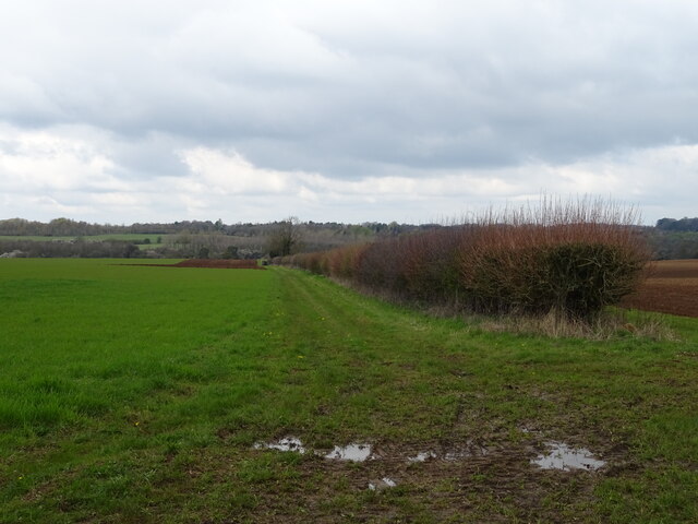
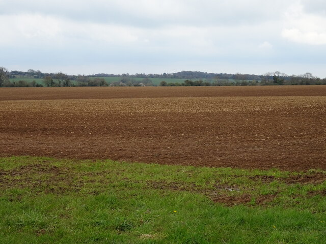
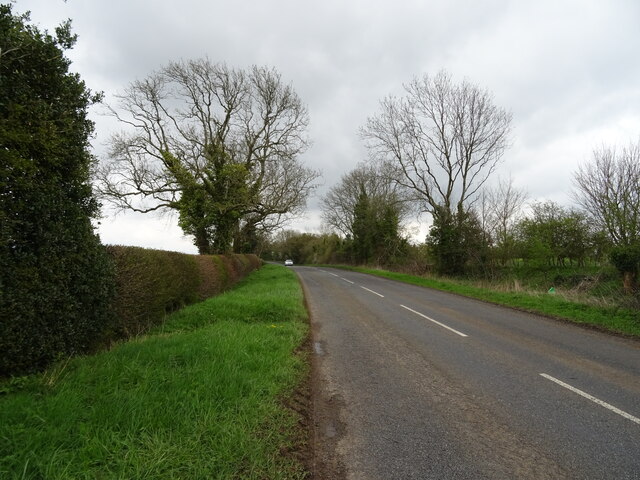
Allens Wood Images
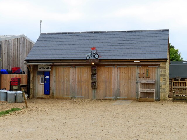
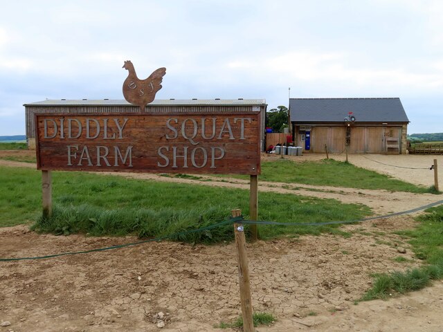
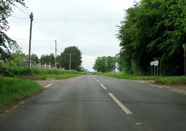
Images are sourced within 2km of 51.916413/-1.5204693 or Grid Reference SP3324. Thanks to Geograph Open Source API. All images are credited.
Allens Wood is located at Grid Ref: SP3324 (Lat: 51.916413, Lng: -1.5204693)
Administrative County: Oxfordshire
District: West Oxfordshire
Police Authority: Thames Valley
What 3 Words
///flanked.wires.boast. Near Chipping Norton, Oxfordshire
Nearby Locations
Related Wikis

RAF Chipping Norton
Royal Air Force Chipping Norton or more simply RAF Chipping Norton is a former Royal Air Force satellite station located near Chipping Norton, Oxfordshire...

Hawk Stone
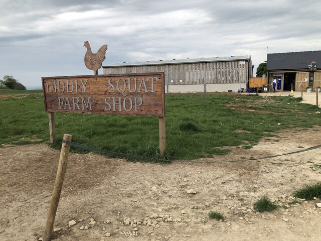
The Hawk Stone is a neolithic standing stone just north of the hamlet of Dean, Oxfordshire, England on Diddly Squat Farm belonging to Jeremy Clarkson....

Glyme Valley
Glyme Valley is a 28.9-hectare (71-acre) biological Site of Special Scientific Interest east of Chipping Norton in Oxfordshire. An area of 3 hectares...

Dean, Oxfordshire
Dean is a hamlet in Spelsbury civil parish, about 2 miles (3 km) north of Charlbury and 3.5 miles (5.6 km) southeast of Chipping Norton, Oxfordshire. Its...
Old Chalford
Old Chalford is a hamlet in Enstone civil parish, about 2 miles (3 km) east of Chipping Norton, Oxfordshire. Old Chalford is on the River Glyme, which...

Knollbury
Knollbury is a scheduled Iron Age hillfort enclosure to the north west of Chadlington in Oxfordshire. Believed to be defensive in nature the enclosure...
Chipping Norton Rural District
Chipping Norton Rural District was a rural district in Oxfordshire, England from 1894 to 1974. It surrounded but did not include the town of Chipping Norton...

Chadlington
Chadlington is a village and civil parish in the Evenlode Valley about 3 miles (5 km) south of Chipping Norton, Oxfordshire. The village has four neighbourhoods...
Nearby Amenities
Located within 500m of 51.916413,-1.5204693Have you been to Allens Wood?
Leave your review of Allens Wood below (or comments, questions and feedback).