Claridges Covert
Wood, Forest in Oxfordshire West Oxfordshire
England
Claridges Covert
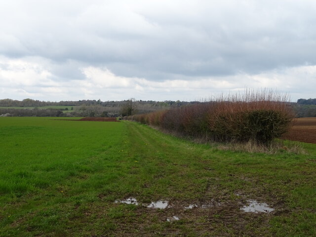
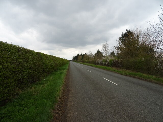
Claridges Covert, located in Oxfordshire, is a picturesque woodland area renowned for its natural beauty and tranquil atmosphere. Situated within a dense forest, this hidden gem is a haven for nature lovers and outdoor enthusiasts alike.
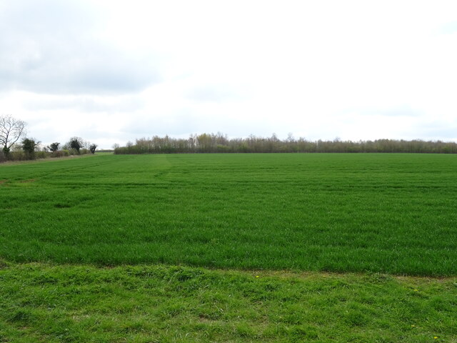
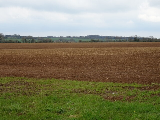
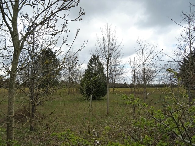
The woodland of Claridges Covert is characterized by a diverse range of trees and vegetation, creating a rich and vibrant ecosystem. Towering oak, beech, and pine trees dominate the landscape, providing shelter and habitats for an array of wildlife species. The forest floor is adorned with a carpet of ferns, wildflowers, and moss, adding to the enchanting atmosphere.
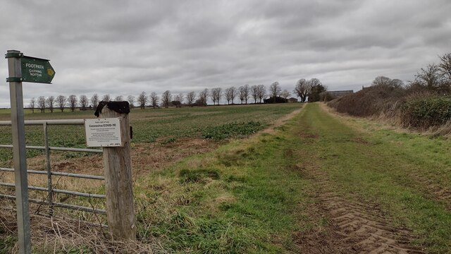
The area offers ample opportunities for recreational activities, such as hiking, walking, and birdwatching. There are several well-maintained trails that meander through the woodland, allowing visitors to explore and appreciate the natural surroundings. The tranquil ambiance and absence of vehicular traffic make it an ideal spot for a peaceful retreat or a family picnic.
Claridges Covert holds historical significance as well. It is rumored to have been a hiding place for outlaws during medieval times, adding a touch of mystique to the already captivating setting.
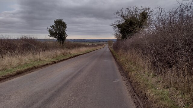
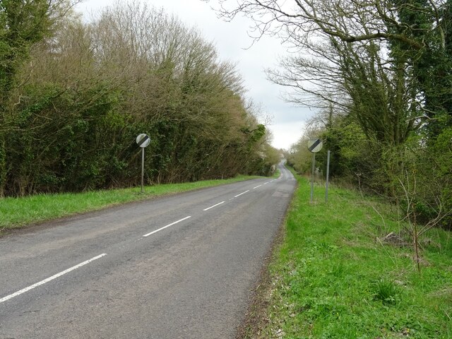
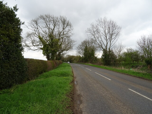
Access to Claridges Covert is conveniently available, with parking facilities and well-marked entrances. Visitors are advised to adhere to the guidelines provided to ensure the preservation of the delicate ecosystem and to respect the privacy of the wildlife inhabiting the area.
In conclusion, Claridges Covert in Oxfordshire is a captivating woodland escape, offering an abundance of natural beauty and recreational opportunities. Its serene atmosphere and rich biodiversity make it a must-visit destination for nature enthusiasts and those seeking a peaceful retreat amidst the beauty of the forest.
If you have any feedback on the listing, please let us know in the comments section below.
Claridges Covert Images
Images are sourced within 2km of 51.914839/-1.5116029 or Grid Reference SP3324. Thanks to Geograph Open Source API. All images are credited.


Claridges Covert is located at Grid Ref: SP3324 (Lat: 51.914839, Lng: -1.5116029)
Administrative County: Oxfordshire
District: West Oxfordshire
Police Authority: Thames Valley
What 3 Words
///coining.outgrown.scouting. Near Chipping Norton, Oxfordshire
Nearby Locations
Related Wikis

Hawk Stone
The Hawk Stone is a neolithic standing stone just north of the hamlet of Dean, Oxfordshire, England near Diddly Squat Farm belonging to Jeremy Clarkson...

Dean, Oxfordshire
Dean is a hamlet in Spelsbury civil parish, about 2 miles (3 km) north of Charlbury and 3.5 miles (5.6 km) southeast of Chipping Norton, Oxfordshire. Its...

RAF Chipping Norton
Royal Air Force Chipping Norton or more simply RAF Chipping Norton is a former Royal Air Force satellite station located near Chipping Norton, Oxfordshire...
Old Chalford
Old Chalford is a hamlet in Enstone civil parish, about 2 miles (3 km) east of Chipping Norton, Oxfordshire. Old Chalford is on the River Glyme, which...

Glyme Valley
Glyme Valley is a 28.9-hectare (71-acre) biological Site of Special Scientific Interest east of Chipping Norton in Oxfordshire. An area of 3 hectares...

Lidstone
Lidstone is a hamlet on the River Glyme in Oxfordshire, about 3 miles (5 km) east of Chipping Norton. The hamlet is in Enstone civil parish, about 1+1...

Chadlington
Chadlington is a village and civil parish in the Evenlode Valley about 3 miles (5 km) south of Chipping Norton, Oxfordshire. The village has four neighbourhoods...

Knollbury
Knollbury is a scheduled Iron Age hillfort enclosure to the north west of Chadlington in Oxfordshire. Believed to be defensive in nature the enclosure...
Have you been to Claridges Covert?
Leave your review of Claridges Covert below (or comments, questions and feedback).