Gilbert's Spinney
Wood, Forest in Warwickshire Warwick
England
Gilbert's Spinney
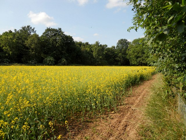
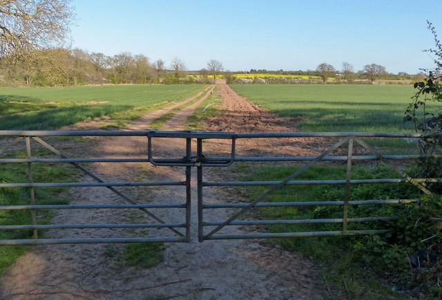
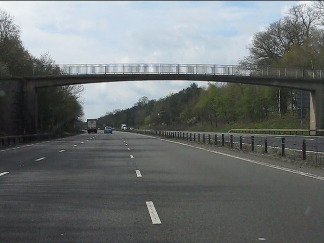
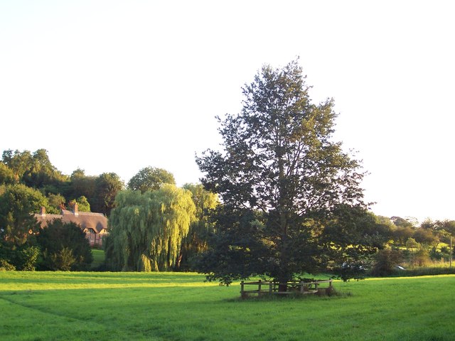
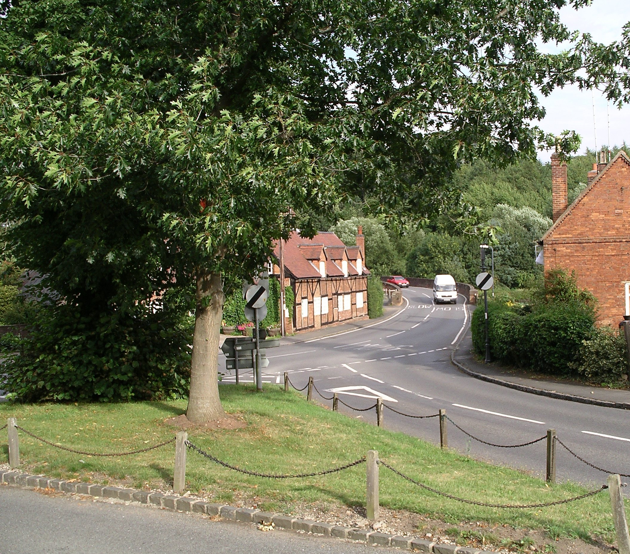
Gilbert's Spinney is a woodland area located in Warwickshire, England. Situated in the heart of the county, this spinney is a haven for nature lovers and outdoor enthusiasts. The woodland covers an area of approximately 200 hectares and is known for its diverse range of flora and fauna.
The spinney is predominantly made up of deciduous trees such as oak, beech, and ash, creating a picturesque landscape that changes with the seasons. This woodland is particularly popular during the autumn months when the foliage turns vibrant shades of red, orange, and gold.
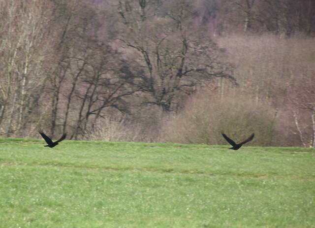
Gilbert's Spinney is home to a variety of wildlife, including deer, foxes, and a wide range of bird species. Ornithologists can spot species such as woodpeckers, owls, and thrushes, making it a paradise for birdwatching enthusiasts.
The woodland offers several walking trails, allowing visitors to explore its natural beauty. These trails are well-maintained and range from easy strolls to more challenging hikes, catering to all levels of fitness and experience. Along the trails, you can find information boards detailing the various tree species and wildlife that can be found in the spinney.
In addition to its natural beauty, Gilbert's Spinney also provides recreational facilities such as picnic areas and designated spots for camping. These amenities make it an ideal destination for families and outdoor enthusiasts looking to spend a day surrounded by nature.
Overall, Gilbert's Spinney in Warwickshire is a stunning woodland area that offers a tranquil escape from the hustle and bustle of everyday life. Its diverse range of flora and fauna, coupled with its well-maintained trails and recreational facilities, make it a must-visit destination for nature lovers of all ages.
If you have any feedback on the listing, please let us know in the comments section below.
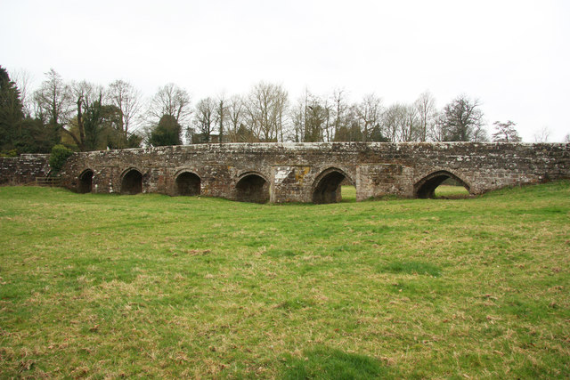
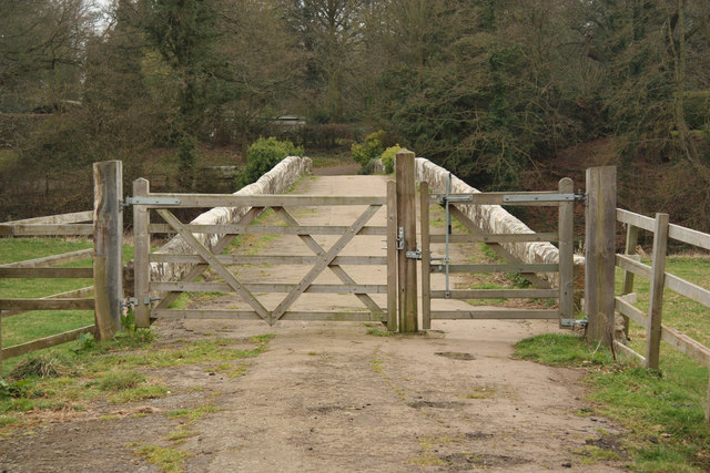
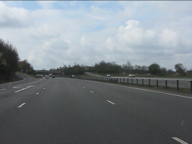
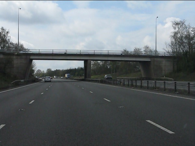
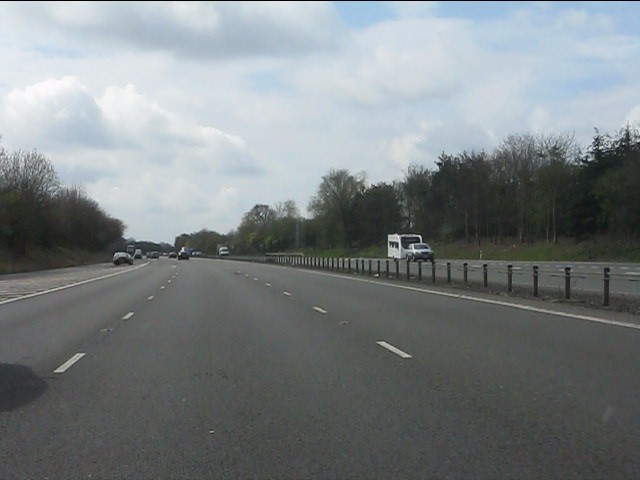
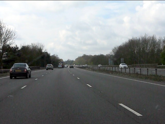
Gilbert's Spinney Images
Images are sourced within 2km of 52.343398/-1.5215319 or Grid Reference SP3271. Thanks to Geograph Open Source API. All images are credited.


Gilbert's Spinney is located at Grid Ref: SP3271 (Lat: 52.343398, Lng: -1.5215319)
Administrative County: Warwickshire
District: Warwick
Police Authority: Warwickshire
What 3 Words
///song.grass.zoom. Near Kenilworth, Warwickshire
Nearby Locations
Related Wikis
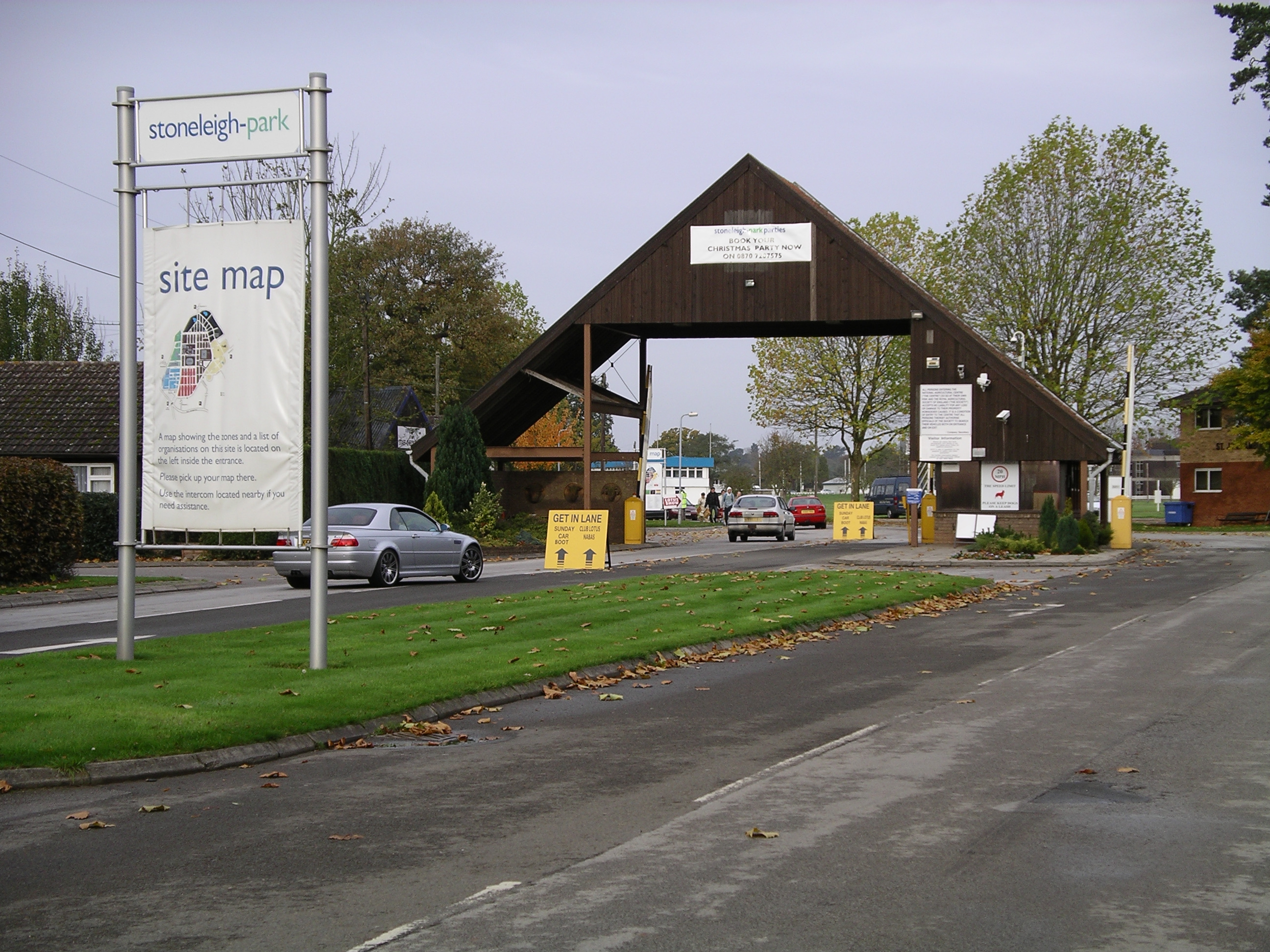
Stoneleigh Park
Stoneleigh Park, known between 1963 and 2013 as the National Agricultural Centre, is a business park located south-west of the village of Stoneleigh, Warwickshire...

Rare Breeds Survival Trust
The Rare Breeds Survival Trust is a conservation charity whose purpose is to secure the continued existence and viability of the native farm animal genetic...

River Sowe
The River Sowe is a river in Warwickshire and West Midlands, England. It is a tributary of the River Avon, and flows into it just south of Stoneleigh...

Stoneleigh Abbey
Stoneleigh Abbey is an English country house and estate situated south of Coventry. Nearby is the village of Stoneleigh, Warwickshire. The Abbey itself...
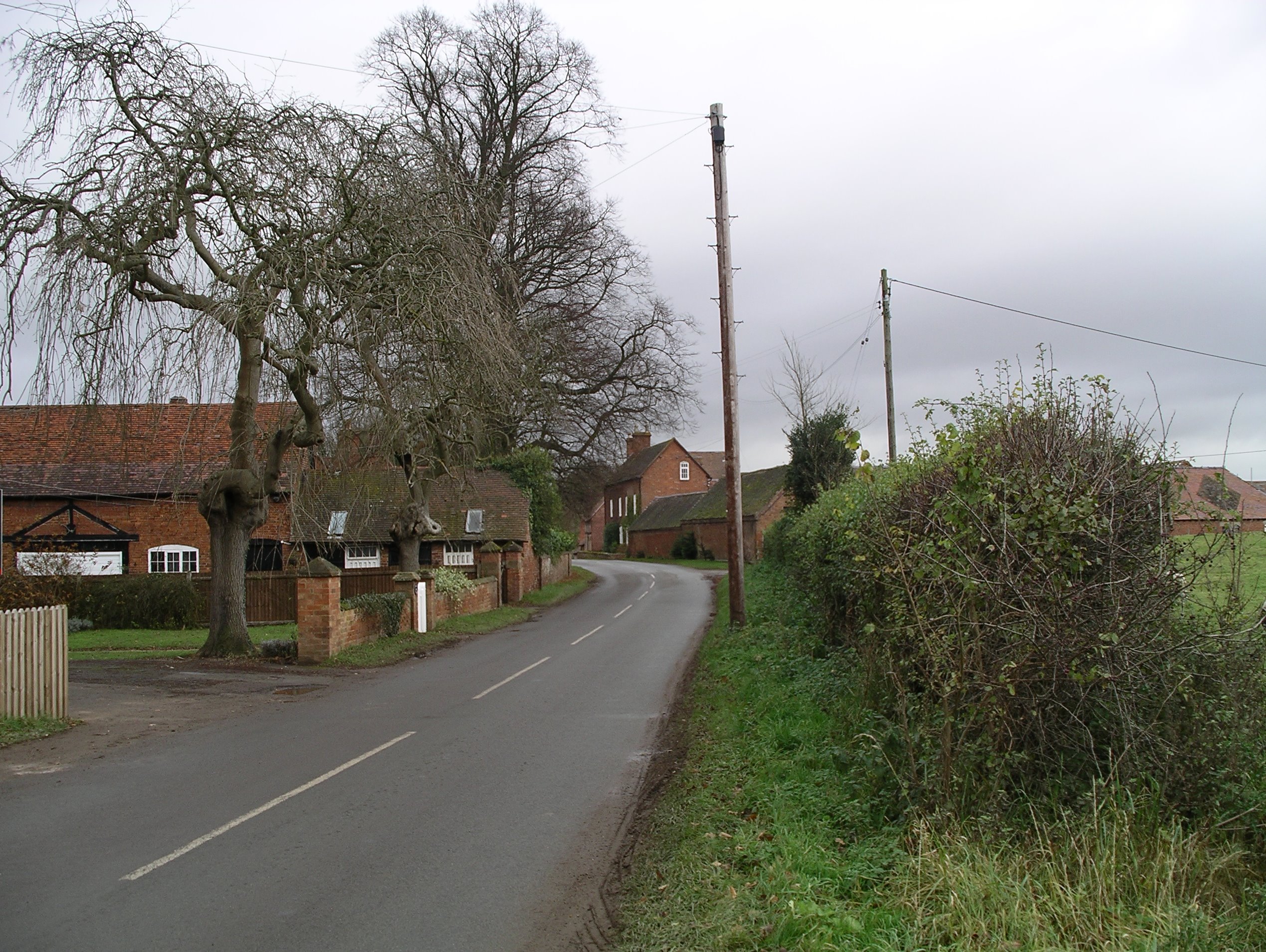
Stareton
Stareton is a small hamlet in Warwickshire, England. The population is included within Stoneleigh parish. It is situated about half a mile from Stoneleigh...

Stoneleigh Abbey Gatehouse
Stoneleigh Abbey Gatehouse is the 14th century gatehouse to the medieval Stoneleigh Abbey which was established near Stoneleigh, Warwickshire in the 12th...
Stoneleigh, Warwickshire
Stoneleigh is a small village in Warwickshire, England, on the River Sowe, situated 4.5 miles (7.25 km) south of Coventry and 5.5 miles (9 km) north of...
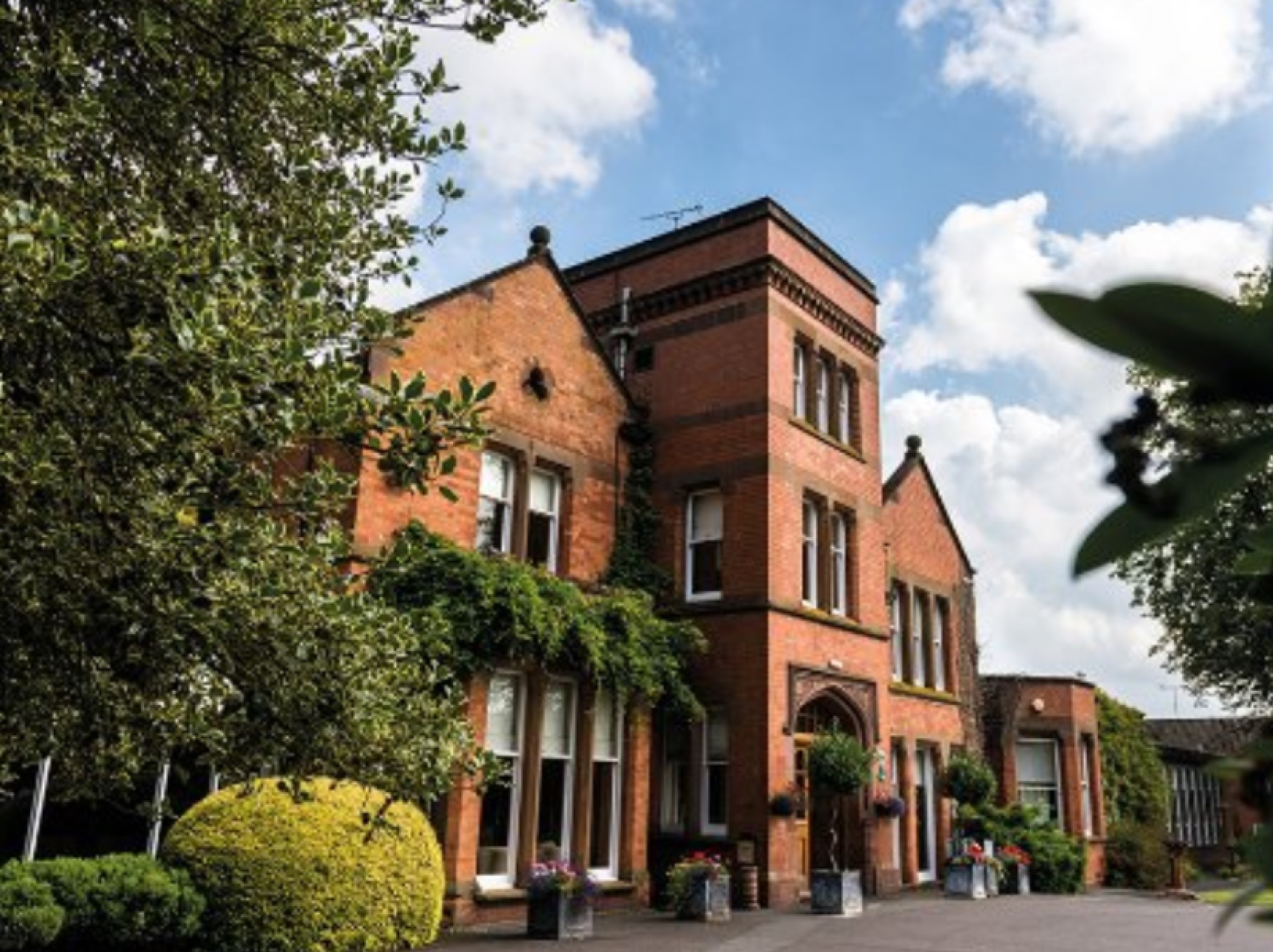
Woodside Hotel, Kenilworth
The Woodside Hotel is a building of historical significance in Kenilworth, Warwickshire, England. It was the residence of several notable people from about...
Nearby Amenities
Located within 500m of 52.343398,-1.5215319Have you been to Gilbert's Spinney?
Leave your review of Gilbert's Spinney below (or comments, questions and feedback).