Brick Kiln Plantation
Wood, Forest in Yorkshire
England
Brick Kiln Plantation

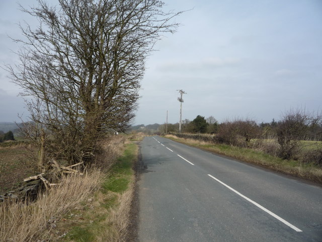
Brick Kiln Plantation, located in Yorkshire, is a sprawling woodland area known for its picturesque beauty and rich biodiversity. Spanning over several acres, this plantation is a haven for nature lovers and outdoor enthusiasts alike.
The woodland is characterized by a dense canopy of mature trees, predominantly oak and beech, which provide ample shade and shelter to a diverse range of flora and fauna. The forest floor is carpeted with a lush undergrowth of ferns, mosses, and wildflowers, creating a vibrant and captivating landscape.
Visitors to Brick Kiln Plantation can explore numerous well-maintained trails that wind through the woodland, offering breathtaking views of the surrounding countryside. These trails cater to different levels of fitness and provide an opportunity to immerse oneself in the tranquility of nature.
The plantation is home to a wide variety of wildlife, including deer, badgers, foxes, and numerous bird species. Birdwatchers can spot woodpeckers, owls, and migratory birds during specific seasons. The diverse ecosystem of the woodland also supports a rich insect population, with butterflies and dragonflies adding splashes of color to the surroundings.
Brick Kiln Plantation is not only a recreational area but also plays an essential role in conservation efforts. The woodland is actively managed to protect and enhance its natural features, promoting sustainable practices such as tree planting and habitat restoration.
Overall, Brick Kiln Plantation is a captivating destination for nature enthusiasts, offering a unique blend of natural beauty, recreational activities, and conservation initiatives. Whether one seeks solitude and serenity or an opportunity to explore the outdoors, this Yorkshire woodland provides an unforgettable experience.
If you have any feedback on the listing, please let us know in the comments section below.
Brick Kiln Plantation Images
Images are sourced within 2km of 53.488227/-1.5204626 or Grid Reference SK3199. Thanks to Geograph Open Source API. All images are credited.


Brick Kiln Plantation is located at Grid Ref: SK3199 (Lat: 53.488227, Lng: -1.5204626)
Division: West Riding
Unitary Authority: Barnsley
Police Authority: South Yorkshire
What 3 Words
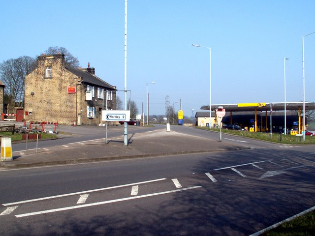
///pancake.pinging.notifying. Near Wortley, South Yorkshire
Nearby Locations
Related Wikis

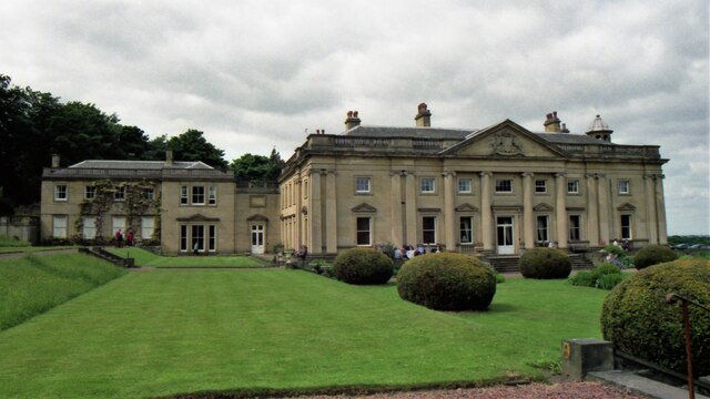
Wortley Hall
Wortley Hall is a former stately home in the small South Yorkshire village of Wortley, located south of Barnsley, England. For more than six decades the...
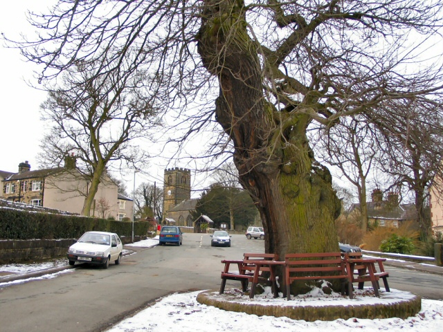
Wortley, South Yorkshire
Wortley is a village and civil parish in the Metropolitan Borough of Barnsley, South Yorkshire, England. At the 2001 census it had a population of 579...
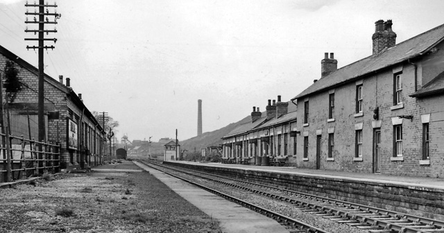
Wortley railway station
Wortley railway station was a railway station on the Sheffield, Ashton-under-Lyne and Manchester Railway lying between Deepcar and Penistone. It was built...

Tankersley, South Yorkshire
Tankersley is a village and civil parish in the Metropolitan Borough of Barnsley in South Yorkshire, England. At the 2001 census it had a population of...

Westwood railway station
Westwood railway station was situated on the South Yorkshire Railway's Blackburn Valley line between Chapeltown Central and Birdwell & Hoyland Common....
High Green
High Green is the northernmost suburb of Sheffield, England, located about 8 miles from the city centre. It is found to the north of Chapeltown and is...
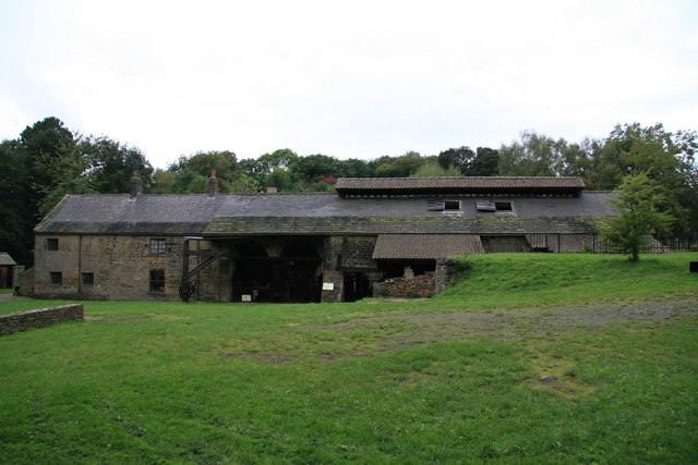
Wortley Top Forge
Wortley Top Forge is an historic former finery forge and ironworks originally dating back to the seventeenth century, although evidence suggests iron working...
Birdwell & Hoyland Common railway station
Birdwell & Hoyland Common railway station was a railway station on the South Yorkshire Railway's Blackburn Valley line between Westwood and High Royds...
Related Videos

Walking around The Country Side
waking around the Country side lovely day out walking around the Country Lanes please help support my channel PayPal.

Wortley to Penistone and a Long Forgotten Railway Turntable.
Wortley Hall and Wortley Top Forge with their English Civil War connections and a railway past and present.

Walking around Pilley Village BARNSLEY
walking around Pilley Village BARNSLEY walking to the Park Great Little please to walk around the lovely Country side.

Wortley Hall Hotel - Champange Lifestyle On A Lemonade Budget - Would You Stay?
This was £25 cheaper than the local Travelodge.
Nearby Amenities
Located within 500m of 53.488227,-1.5204626Have you been to Brick Kiln Plantation?
Leave your review of Brick Kiln Plantation below (or comments, questions and feedback).