Ashes Plantation
Wood, Forest in Yorkshire
England
Ashes Plantation

Ashes Plantation is a picturesque woodland located in Yorkshire, England. It is situated in the heart of the county, surrounded by rolling hills and lush green fields. The plantation is known for its dense forest cover, with a variety of tree species that create a vibrant and stunning landscape.
Covering an area of approximately 100 acres, Ashes Plantation is a popular destination for nature enthusiasts, hikers, and photographers. The woodland is primarily composed of oak, beech, and birch trees, which provide a rich habitat for numerous species of birds, mammals, and insects. The diverse flora and fauna found within the plantation make it a haven for biodiversity and an important ecological site.
Visitors to Ashes Plantation can explore the well-maintained trails that wind through the forest, offering breathtaking views of the surrounding countryside. The paths are suitable for all levels of fitness, with options for leisurely strolls or more challenging hikes. Along the way, visitors may come across hidden streams, charming ponds, and peaceful clearings, adding to the enchanting atmosphere of the woodland.
The plantation is also home to a variety of wildlife, including deer, foxes, badgers, and a wide array of bird species. Birdwatchers can spot woodpeckers, owls, and various migratory birds throughout the year. The tranquil setting of Ashes Plantation provides the perfect opportunity for birdwatching and wildlife photography.
Overall, Ashes Plantation is a natural gem in the Yorkshire countryside, offering visitors a chance to immerse themselves in the beauty of nature. Whether it's for a peaceful walk, a picnic, or simply to enjoy the sights and sounds of the forest, this woodland is a must-visit destination for nature lovers of all ages.
If you have any feedback on the listing, please let us know in the comments section below.
Ashes Plantation Images
Images are sourced within 2km of 53.487765/-1.5333987 or Grid Reference SK3199. Thanks to Geograph Open Source API. All images are credited.


Ashes Plantation is located at Grid Ref: SK3199 (Lat: 53.487765, Lng: -1.5333987)
Division: West Riding
Unitary Authority: Barnsley
Police Authority: South Yorkshire
What 3 Words
///unwanted.digitally.haggling. Near Wortley, South Yorkshire
Nearby Locations
Related Wikis

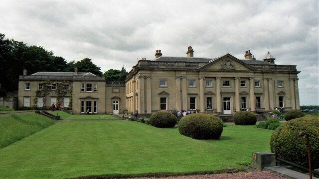
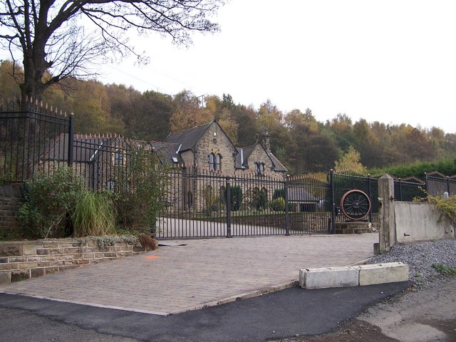
Wortley Hall
Wortley Hall is a former stately home in the small South Yorkshire village of Wortley, located south of Barnsley, England. For more than six decades the...
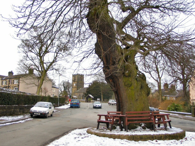
Wortley, South Yorkshire
Wortley is a village and civil parish in the Metropolitan Borough of Barnsley, South Yorkshire, England. At the 2001 census it had a population of 579...
Wortley railway station
Wortley railway station was a railway station on the Sheffield, Ashton-under-Lyne and Manchester Railway lying between Deepcar and Penistone. It was built...
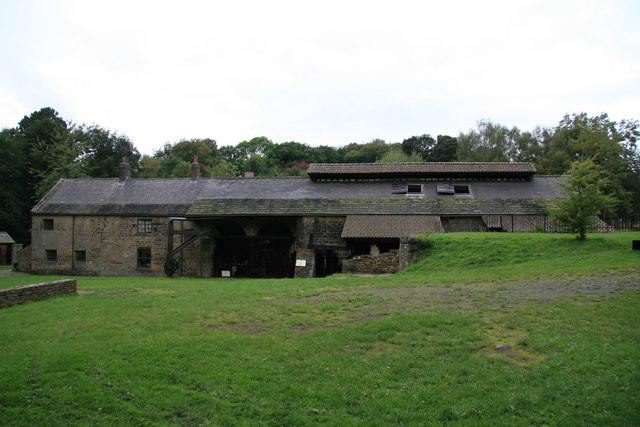
Wortley Top Forge
Wortley Top Forge is an historic former finery forge and ironworks originally dating back to the seventeenth century, although evidence suggests iron working...

Little Don River
The Little Don River also known as the Porter, is a tributary of the River Don in South Yorkshire, England. Arising on the Langsett Moors in the northern...
Deepcar railway station
Deepcar railway station, originally "Deep Car", is a disused railway station near Deepcar, South Yorkshire, England. The station, situated on the line...
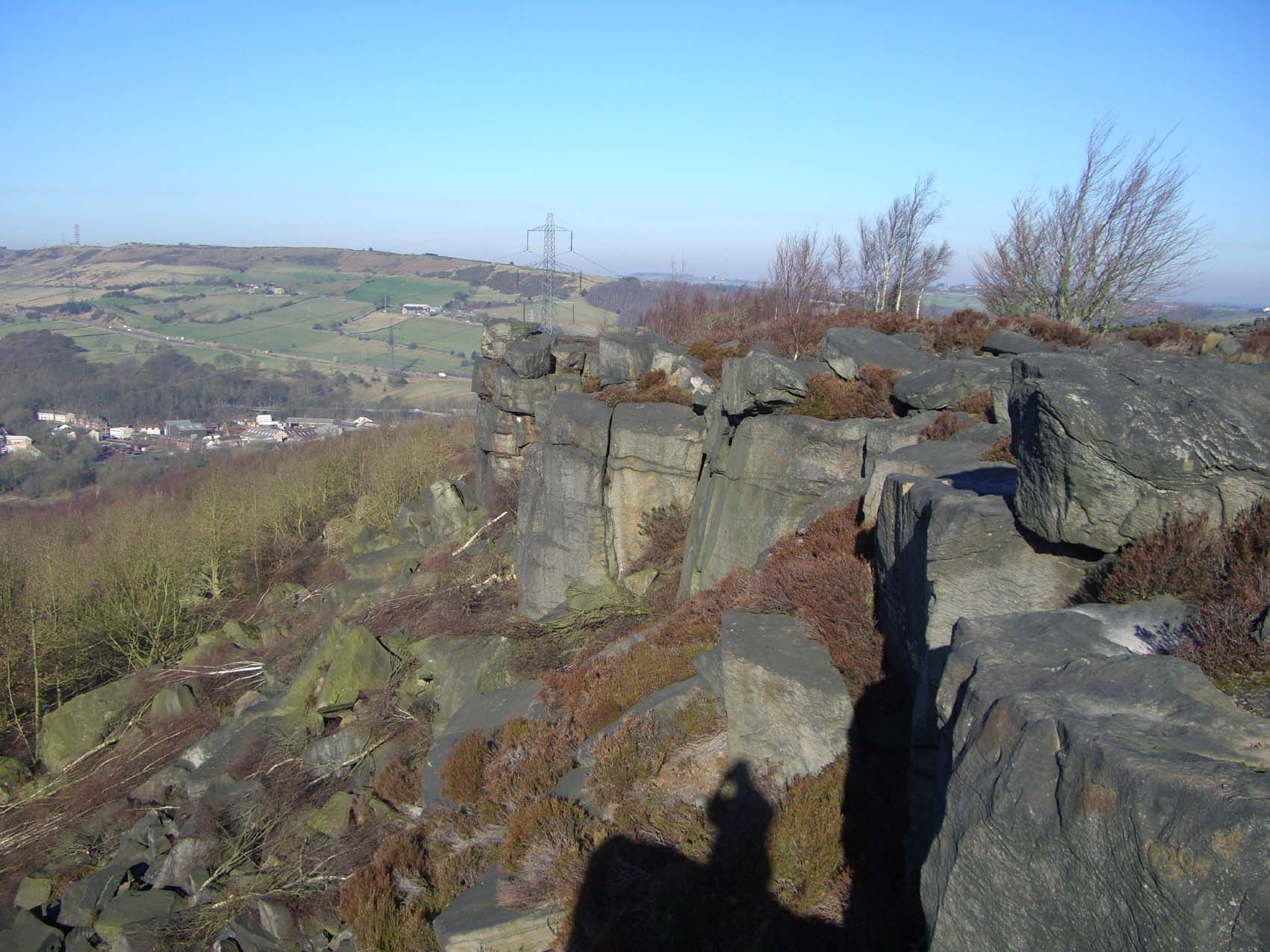
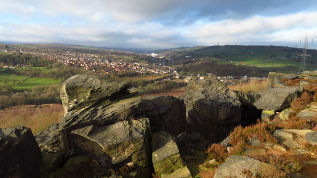
Wharncliffe Crags
Wharncliffe Crags is a gritstone escarpment or edge situated approximately 6 miles (10 km) north-west of the city of Sheffield in South Yorkshire, England...

Thurgoland railway station
Thurgoland railway station was a small railway station built by the Sheffield, Ashton-Under-Lyne and Manchester Railway to serve the village of Thurgoland...
Nearby Amenities
Located within 500m of 53.487765,-1.5333987Have you been to Ashes Plantation?
Leave your review of Ashes Plantation below (or comments, questions and feedback).