Glasshouse Wood
Wood, Forest in Warwickshire Warwick
England
Glasshouse Wood
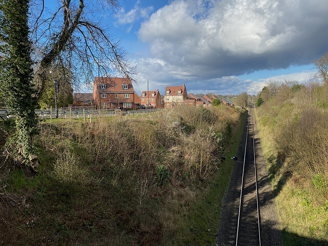
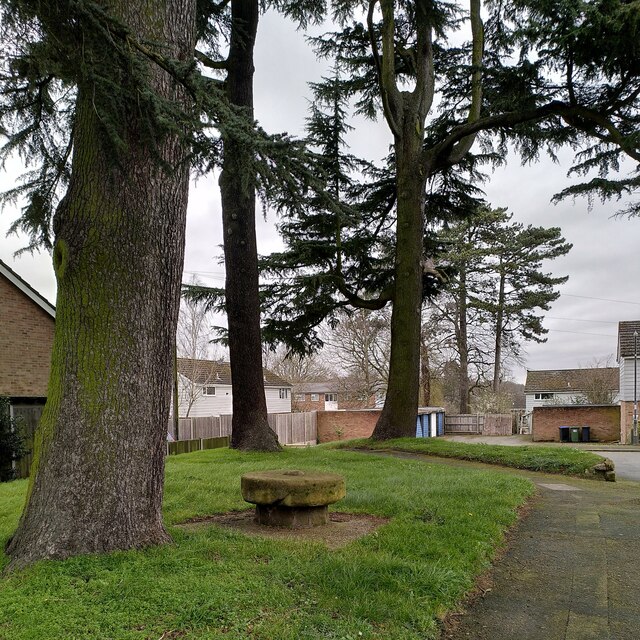
Glasshouse Wood is a beautiful woodland located in Warwickshire, England. Covering an area of approximately 50 hectares, it is a popular destination for nature enthusiasts and walkers alike. The wood is part of the larger Sherwood Forest, which is known for its rich biodiversity and ancient trees.
One of the main attractions of Glasshouse Wood is its diverse range of flora and fauna. The woodland is home to a variety of tree species, including oak, beech, and birch. These tall, majestic trees provide a habitat for numerous bird species, such as woodpeckers, tits, and owls. Additionally, the forest floor is adorned with an array of wildflowers, ferns, and mosses, creating a vibrant and enchanting atmosphere.
The wood offers a network of well-maintained paths and trails, making it an ideal location for walking, jogging, or cycling. Visitors can explore the wood at their own pace and enjoy the peaceful surroundings. Along the way, they may encounter various wildlife, including squirrels, deer, and foxes, adding an element of excitement and wonder to the experience.
Glasshouse Wood is also steeped in history. It is believed to have been used for glassmaking during the medieval period, hence its name. Today, remnants of the glassmaking industry can still be found within the wood, providing a glimpse into the area's past.
Overall, Glasshouse Wood offers a tranquil and scenic escape from the hustle and bustle of everyday life. Its natural beauty, diverse wildlife, and historical significance make it a must-visit destination for anyone seeking a peaceful retreat in Warwickshire.
If you have any feedback on the listing, please let us know in the comments section below.
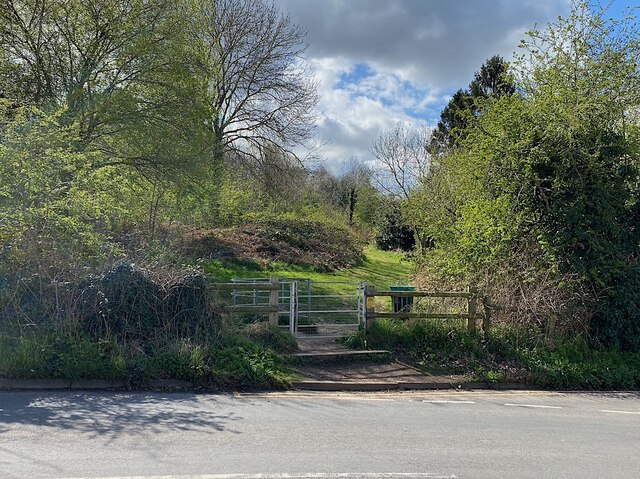
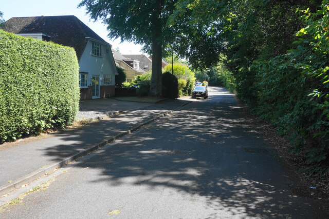
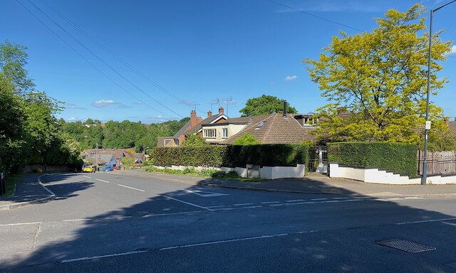
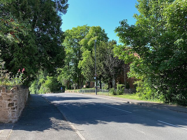
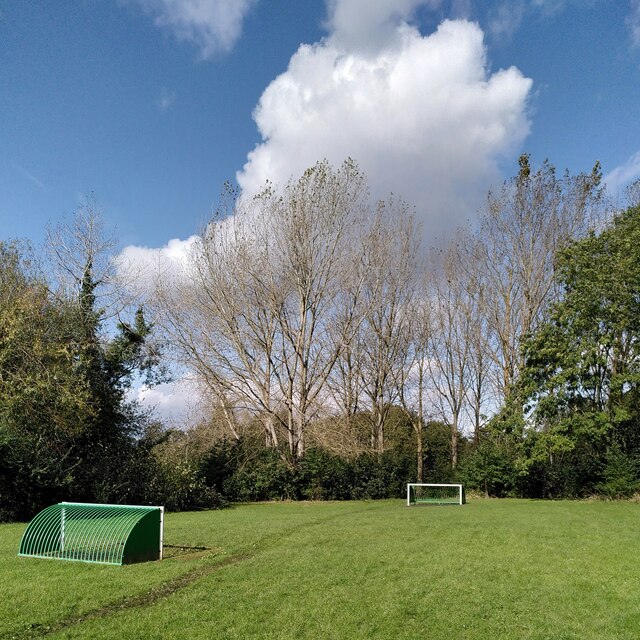
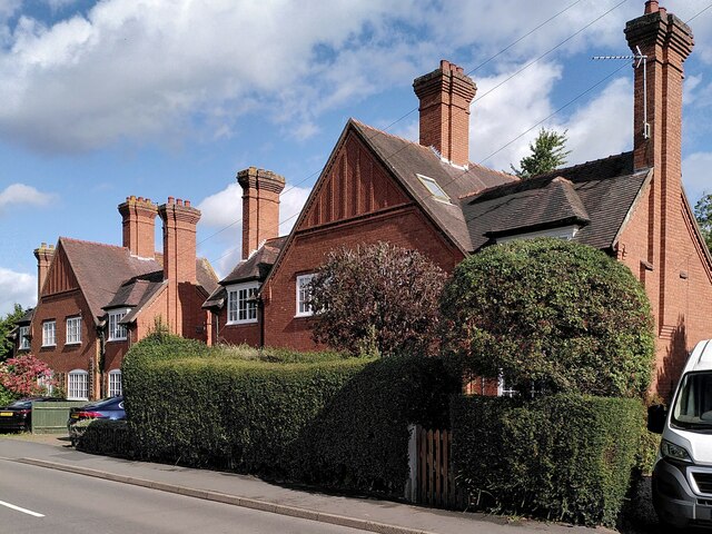
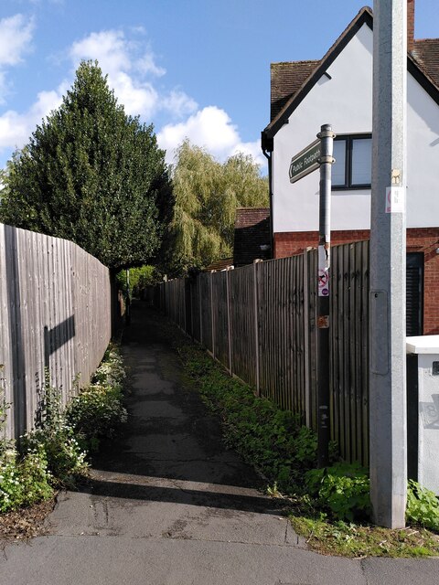
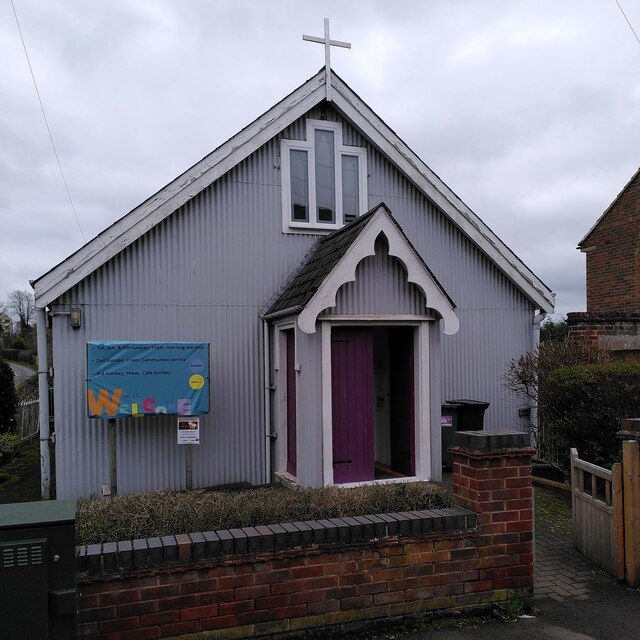
Glasshouse Wood Images
Images are sourced within 2km of 52.34271/-1.5454801 or Grid Reference SP3171. Thanks to Geograph Open Source API. All images are credited.

Glasshouse Wood is located at Grid Ref: SP3171 (Lat: 52.34271, Lng: -1.5454801)
Administrative County: Warwickshire
District: Warwick
Police Authority: Warwickshire
What 3 Words
///sugars.chats.wished. Near Kenilworth, Warwickshire
Nearby Locations
Related Wikis
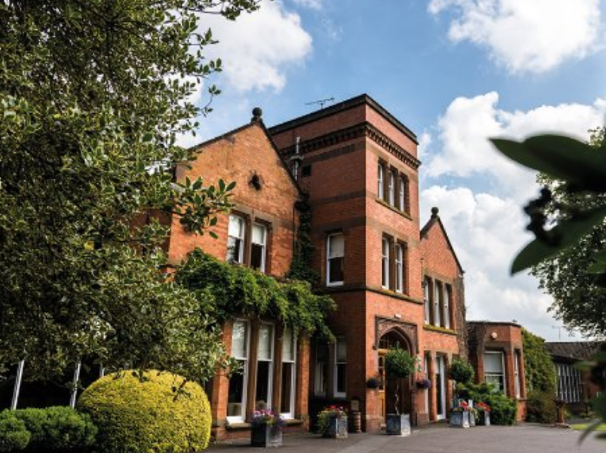
Woodside Hotel, Kenilworth
The Woodside Hotel is a building of historical significance in Kenilworth, Warwickshire, England. It was the residence of several notable people from about...

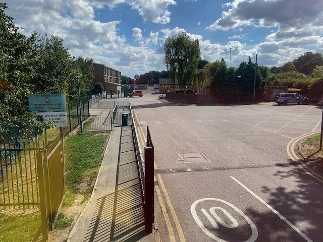
Kenilworth School and Sixth Form
Kenilworth School and Sixth Form, also known as Kenilworth School and Sports College, is a coeducational secondary school and sixth form based in Glasshouse...

Stoneleigh Abbey Gatehouse
Stoneleigh Abbey Gatehouse is the 14th century gatehouse to the medieval Stoneleigh Abbey which was established near Stoneleigh, Warwickshire in the 12th...

Stoneleigh Abbey
Stoneleigh Abbey is an English country house and estate situated south of Coventry. Nearby is the village of Stoneleigh, Warwickshire. The Abbey itself...
Nearby Amenities
Located within 500m of 52.34271,-1.5454801Have you been to Glasshouse Wood?
Leave your review of Glasshouse Wood below (or comments, questions and feedback).