Willow Garth
Wood, Forest in Yorkshire Hambleton
England
Willow Garth

Willow Garth is a small village located in Yorkshire, England. Situated amidst picturesque woodlands and lush forests, it is a haven for nature lovers and those seeking tranquility away from the hustle and bustle of city life.
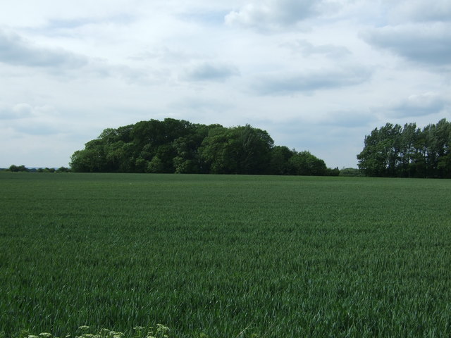
The village is known for its beautiful willow trees that line the garth, a traditional term for a green space. These majestic trees provide a serene backdrop and add to the village's charm and natural beauty. The willow trees are not only aesthetically pleasing but also serve as a habitat for various bird species, creating a harmonious environment for birdwatchers.
The surrounding woodlands and forests offer ample opportunities for outdoor activities such as hiking, cycling, and nature walks. The trails meandering through the dense foliage provide breathtaking views of the countryside and an opportunity to spot local wildlife, including deer, rabbits, and various bird species.
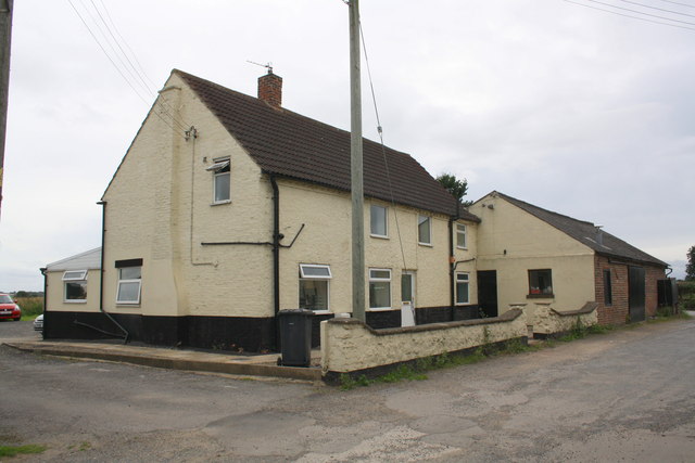
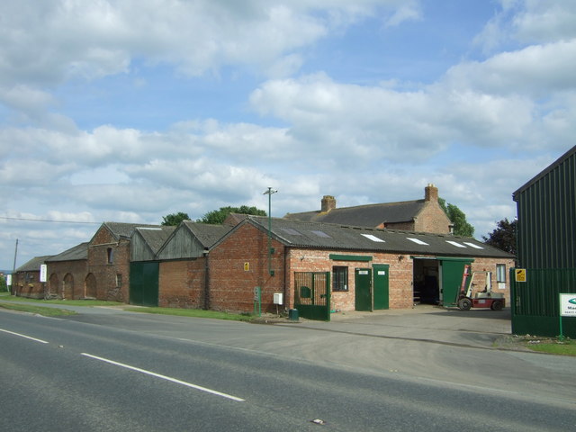
Despite its small size, Willow Garth boasts a close-knit community that takes pride in preserving the village's history and natural surroundings. The village center features quaint cottages and historical buildings, some dating back centuries. The locals are friendly and welcoming, ensuring a warm and inviting atmosphere for visitors.
In terms of amenities, Willow Garth has a village hall that serves as a social hub for community gatherings and events. There is also a small café and a local pub, where residents and visitors can enjoy a hot drink or a traditional meal.
Overall, Willow Garth is a hidden gem nestled in the woodlands of Yorkshire. Its natural beauty, rich history, and friendly community make it an ideal destination for nature enthusiasts and those seeking a peaceful retreat.
If you have any feedback on the listing, please let us know in the comments section below.
Willow Garth Images
Images are sourced within 2km of 54.304487/-1.5241541 or Grid Reference SE3189. Thanks to Geograph Open Source API. All images are credited.


Willow Garth is located at Grid Ref: SE3189 (Lat: 54.304487, Lng: -1.5241541)
Division: North Riding
Administrative County: North Yorkshire
District: Hambleton
Police Authority: North Yorkshire
What 3 Words
///siesta.overheard.banter. Near Bedale, North Yorkshire
Nearby Locations
Related Wikis

RAF Leeming
Royal Air Force Leeming or more simply RAF Leeming is a Royal Air Force station located near Leeming, North Yorkshire, England. It was opened in 1940 and...

Leeming, North Yorkshire
Leeming is a village in the North Yorkshire, England. == Geography == Leeming lies a mile west of the current A1(M) road, south of the larger village of...
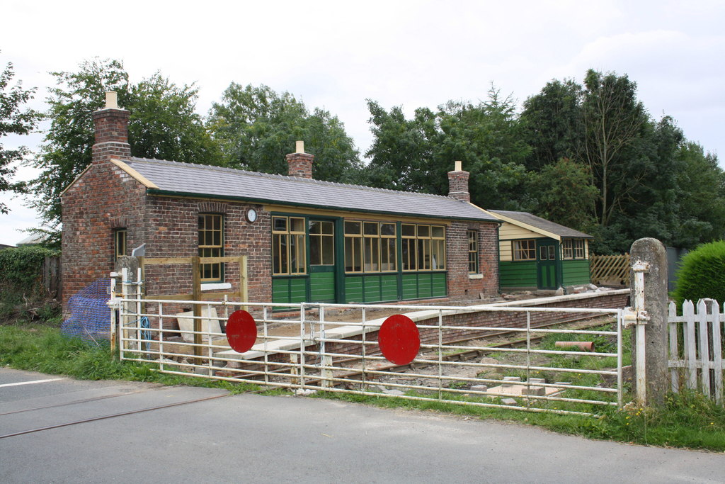
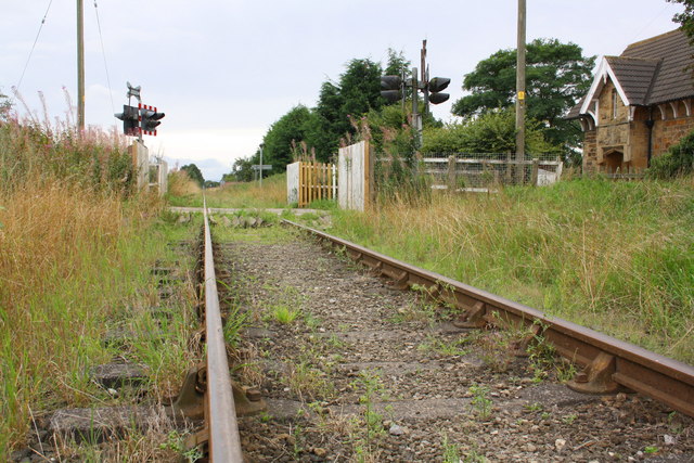
Scruton railway station
Scruton railway station is a restored railway station on the Wensleydale Railway that serves the village of Scruton, in North Yorkshire, England. ��2...

Londonderry, North Yorkshire
Londonderry is a village near the Yorkshire Dales, England situated 4 miles (6 kilometres) south-east of Bedale, almost on the A1 road. It was part of...
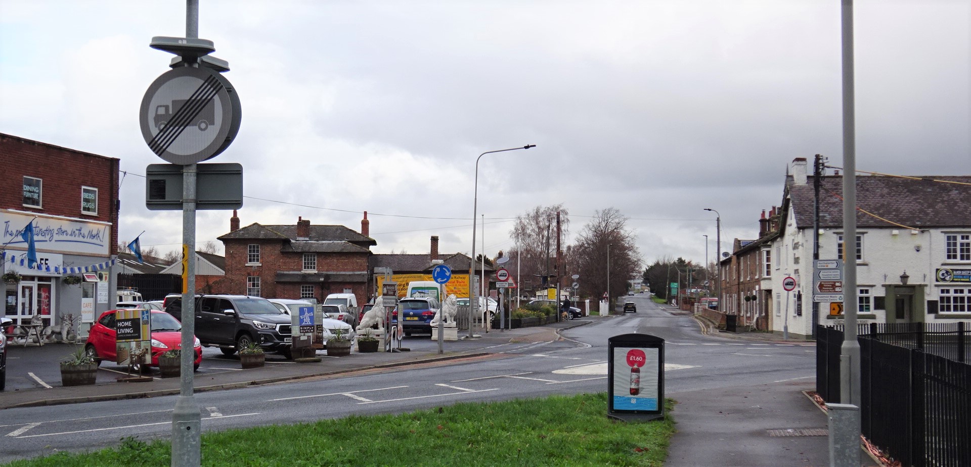
Leeming Bar
Leeming Bar is a village in the civil parish of Aiskew and Leeming Bar, in North Yorkshire, England. The village lay on the original Great North Road...

Leeming Bar railway station
Leeming Bar railway station is a railway station in Leeming Bar, North Yorkshire, England. It is the eastern rail passenger terminus of the Wensleydale...

Gatenby
Gatenby is a secluded village and civil parish in North Yorkshire, England. It is situated about two miles east of the A1(M) road, near to the River Swale...
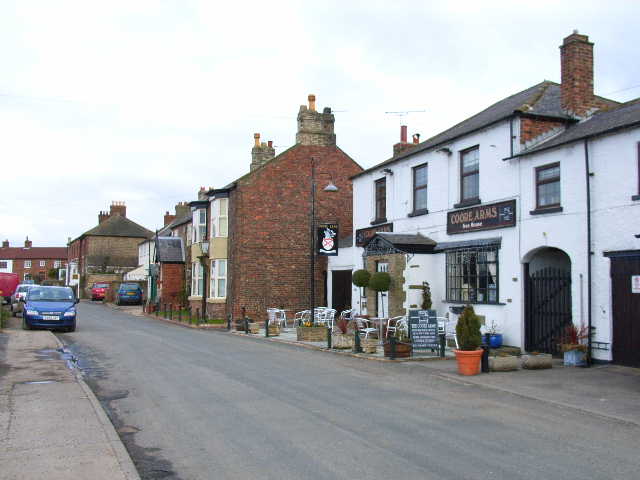
Scruton
Scruton is a village and civil parish in the Hambleton district of North Yorkshire, England. It is 4 miles (6 km) west of Northallerton. According to the...
Nearby Amenities
Located within 500m of 54.304487,-1.5241541Have you been to Willow Garth?
Leave your review of Willow Garth below (or comments, questions and feedback).