Grove Plantation
Wood, Forest in Warwickshire Warwick
England
Grove Plantation

Grove Plantation, located in Warwickshire, England, is a picturesque woodland area known for its breathtaking beauty and rich biodiversity. Spanning over a vast area, the plantation is a haven for nature enthusiasts and a popular destination for those seeking solace in the midst of nature.
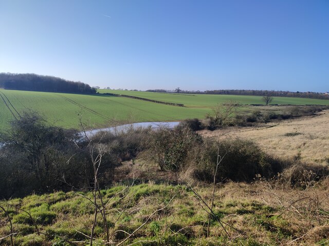
The plantation is primarily characterized by its dense and lush forest, composed of a variety of tree species such as oak, beech, and birch. The towering trees create a captivating canopy, providing shade and shelter for an array of wildlife. Visitors can expect to encounter a diverse range of flora and fauna, including rare and endangered species.
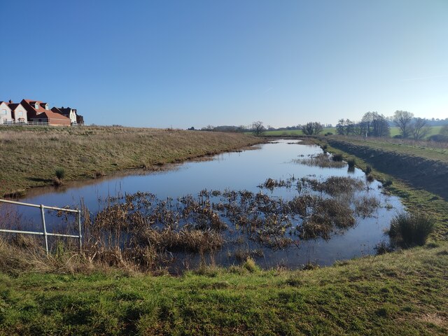
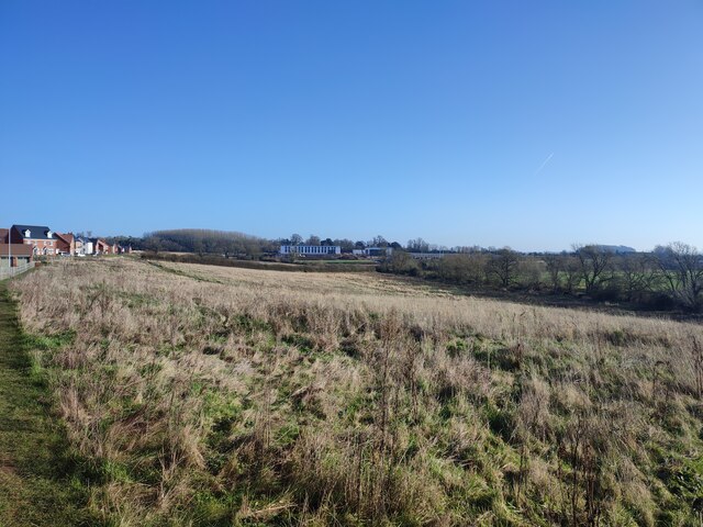
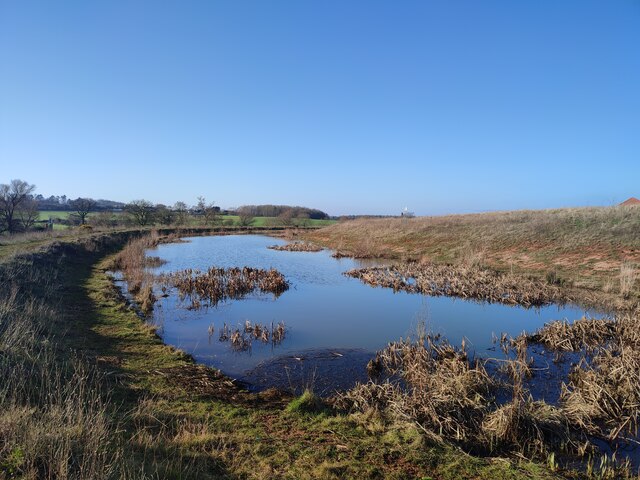
Traversing through Grove Plantation, visitors can explore numerous walking trails, allowing them to immerse themselves in the serene surroundings. The paths wind through the forest, leading to hidden groves and tranquil ponds, enhancing the enchanting atmosphere. The plantation also boasts a beautiful river that meanders through its landscape, adding to the overall scenic charm.
Throughout the year, the plantation showcases the beauty of each season. In spring, vibrant wildflowers bloom, creating a stunning carpet of colors. Summer brings a lush green canopy, while autumn transforms the forest into a mesmerizing palette of golden hues. Winter reveals a different kind of beauty, as the bare trees allow glimpses of distant vistas.
Grove Plantation offers a truly immersive and awe-inspiring experience for nature lovers. Its tranquil setting, diverse wildlife, and captivating scenery make it a must-visit destination for anyone seeking a peaceful retreat in the heart of Warwickshire.
If you have any feedback on the listing, please let us know in the comments section below.
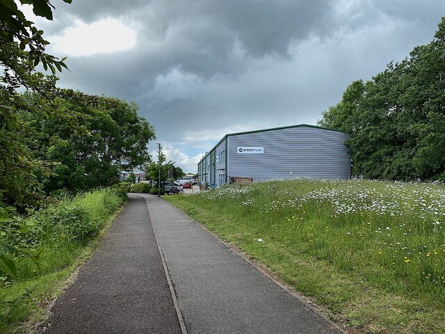
Grove Plantation Images
Images are sourced within 2km of 52.259361/-1.5339374 or Grid Reference SP3162. Thanks to Geograph Open Source API. All images are credited.


Grove Plantation is located at Grid Ref: SP3162 (Lat: 52.259361, Lng: -1.5339374)
Administrative County: Warwickshire
District: Warwick
Police Authority: Warwickshire
What 3 Words
///appear.force.down. Near Royal Leamington Spa, Warwickshire
Nearby Locations
Related Wikis

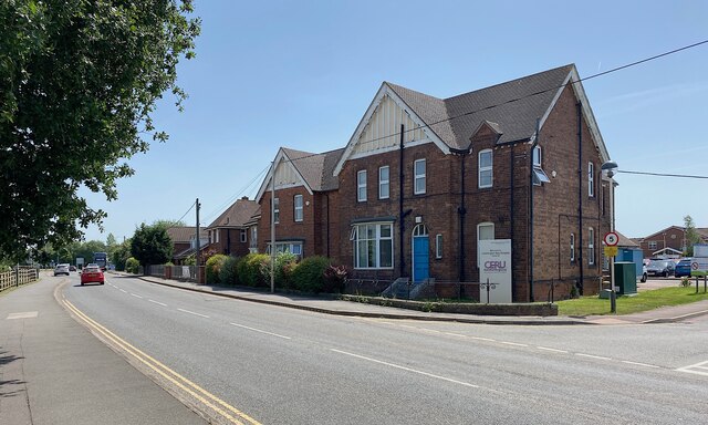
Oakley School, Bishop's Tachbrook
Oakley School is a coeducational all-through school located in Bishop's Tachbrook (near Leamington Spa and Warwick) The school formally opened in September...

Whitnash
Whitnash is a town and civil parish located southeast of, and contiguous with Leamington Spa and Warwick in Warwickshire, England. In 2001, it had a population...
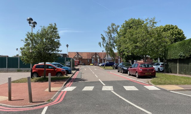
Leamington Spa Hospital
Leamington Spa Hospital is located on Heathcote Lane in Warwick, Warwickshire, in England. Originally an isolation hospital, it is now a hospital run by...

Bishop's Tachbrook
Bishop's Tachbrook is a village and civil parish in the Warwick District of Warwickshire, England. The village is about 3 miles (5 km) south of Warwick...
Nearby Amenities
Located within 500m of 52.259361,-1.5339374Have you been to Grove Plantation?
Leave your review of Grove Plantation below (or comments, questions and feedback).