Mumms Copse

Wood, Forest in Hampshire New Forest

England

Mumms Copse

The Haywain on Southampton Road The Haywain is a Stonehouse public house.
The Haywain on Southampton Road Credit: Steve Daniels

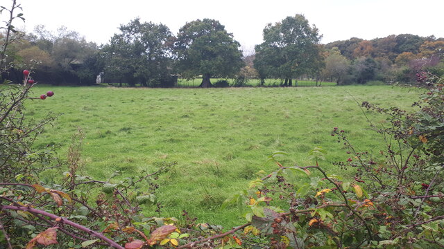
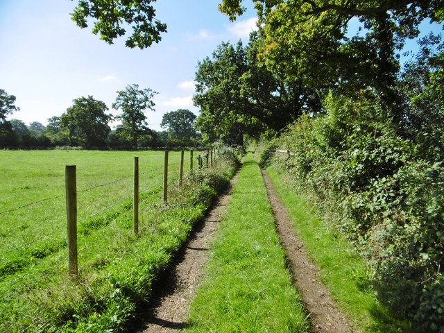
Mumms Copse is a picturesque woodland located in Hampshire, England. Situated near the village of Mumms, it covers an area of approximately 50 acres. The copse is known for its diverse range of native tree species, including oak, beech, and ash, which create a dense and lush forest environment.

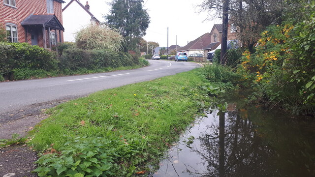
The woodland is a popular destination for nature enthusiasts and walkers, offering a tranquil and peaceful setting for outdoor activities. It features well-maintained footpaths that wind their way through the trees, providing visitors with the opportunity to explore the copse and enjoy its natural beauty. The paths are suitable for all abilities, making it accessible for families and individuals of all ages.

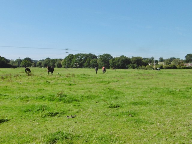
Mumms Copse is also home to a rich variety of wildlife. Birdwatchers can spot numerous species, including woodpeckers, nuthatches, and great tits. Squirrels are a common sight, scurrying among the branches, while deer occasionally roam through the undergrowth. The copse is a haven for biodiversity, with a diverse range of flora and fauna thriving within its boundaries.

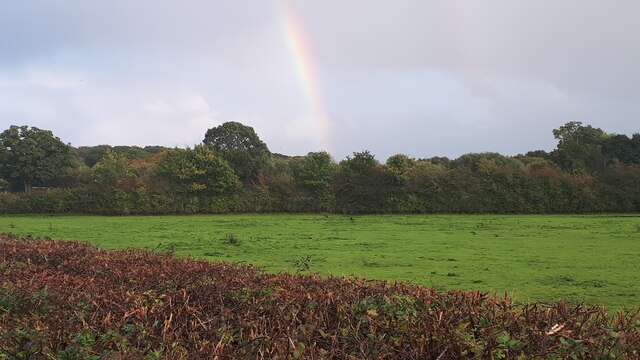
The copse is managed by the local council, who strive to maintain its natural state and protect its wildlife. Conservation efforts include regular tree maintenance and the preservation of the copse's natural habitats. Mumms Copse is open to the public throughout the year, providing a tranquil escape from the hustle and bustle of everyday life. Whether it's for a leisurely stroll, birdwatching, or simply enjoying the peaceful surroundings, Mumms Copse offers a wonderful opportunity to connect with nature in the heart of Hampshire.

If you have any feedback on the listing, please let us know in the comments section below.
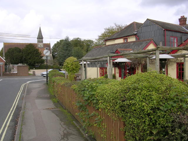
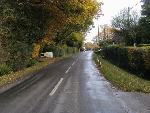
Mumms Copse Images

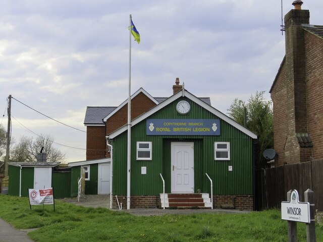
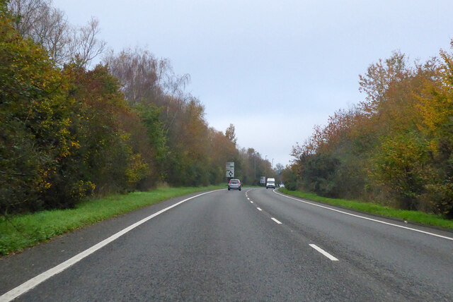
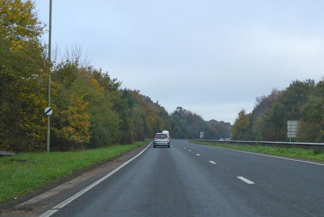
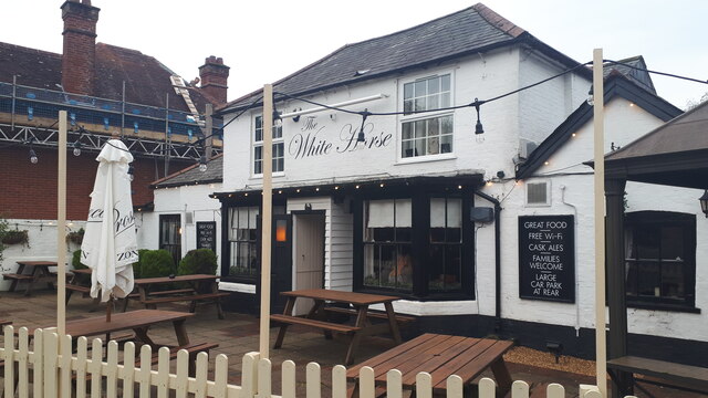
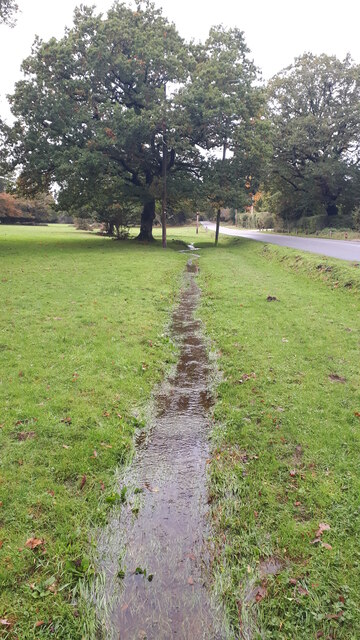
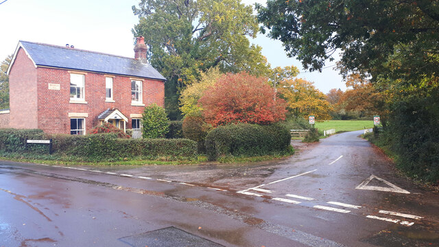
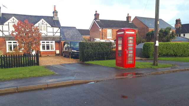
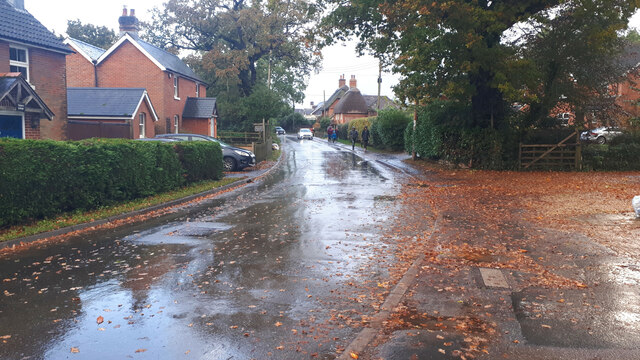
Images are sourced within 2km of 50.915659/-1.5475218 or Grid Reference SU3113. Thanks to Geograph Open Source API. All images are credited.

The Haywain on Southampton Road The Haywain is a Stonehouse public house.
The Haywain on Southampton Road
The Haywain is a Stonehouse public house.
The Royal British Legion in Cadnam
Morrisons Supermarket This large branch of Morrisons is on the western edge of Totton close to the bypass.
Morrisons Supermarket
This large branch of Morrisons is on the western edge of Totton close to the bypass.
A326 northwards towards M27 Approaching the roundabout crossing of the A336.
A326 northwards towards M27
Approaching the roundabout crossing of the A336.
A326 northwards towards M27
The White Horse public house, Netley Marsh
Roadside stream The ground is saturated and water is flowing over the grass in this small channel beside Woodlands Road.
Roadside stream
The ground is saturated and water is flowing over the grass in this small channel beside Woodlands Road.
Field beside Bartley Road
Full ditch beside Woodlands Road This roadside ditch appears to be near capacity on the last day of October, and will overflow into gardens before reaching the road level.
Full ditch beside Woodlands Road
This roadside ditch appears to be near capacity on the last day of October, and will overflow into gardens before reaching the road level.
Cottages on Chinham Road
Rainbow over field south of Chinham Road
Cottage on a corner at Bartley
Houses and former telephone kiosk at Bartley Now a village information point.
Houses and former telephone kiosk at Bartley
Now a village information point.
Wet walk home Schoolchildren walking home along Winsor Road after a heavy shower.
Wet walk home
Schoolchildren walking home along Winsor Road after a heavy shower.
Netley Marsh, farm track
Netley Marsh, horse grazing
Netley Marsh, Woodlands Road From Netley Marsh in two arms to Ashurst. The road has a very suburban feel, though Netley Marsh is a village.
Netley Marsh, Woodlands Road
From Netley Marsh in two arms to Ashurst. The road has a very suburban feel, though Netley Marsh is a village.
Show me another place!

Mumms Copse is located at Grid Ref: SU3113 (Lat: 50.915659, Lng: -1.5475218)

Administrative County: Hampshire

District: New Forest

Police Authority: Hampshire

What 3 Words

///bedspread.timer.locked. Near Cadnam, Hampshire

Related Wikis

Winsor, Hampshire

Winsor is a village in the civil parish of Copythorne, in Hampshire, England. It is situated within the boundaries of the New Forest National Park. Surrounding...

Netley Marsh

Netley Marsh is a village and civil parish in Hampshire, close to the town of Totton. It lies within the New Forest District, and the New Forest National...

Bartley, Hampshire

Bartley is a village in Hampshire, England, within the boundaries of the New Forest National Park, seven miles (11 km) west of Southampton. == Overview... ==

Woodlands, Hampshire

Woodlands is a village in the New Forest National Park of Hampshire, England. The village lies 6 miles (9.7 km) west from Southampton and 2+3⁄4 miles...

Nearby Amenities

Located within 500m of 50.915659,-1.5475218
Bus Stop
Bartley Cafe
Bench: no
Bin: no
Bus: yes
Lit: no
Naptan AtcoCode: 1900HA080136
Naptan Bearing: W
Naptan CommonName: Bartley Cafe
Naptan Crossing: Bourne Road
Naptan NaptanCode: hamajpjd
Naptan Street: Chinham Road
Naptan Verified: no
Public Transport: platform
Shelter: no
Source: naptan_import
Tactile Paving: no
Lat/Long: 50.9147758/-1.5537
Bus Stop
Bartley Cafe
Bench: no
Bin: no
Bus: yes
Lit: no
Naptan AtcoCode: 1900HA080137
Naptan Bearing: E
Naptan CommonName: Bartley Cafe
Naptan Crossing: Bourne Road
Naptan NaptanCode: hamajpjg
Naptan Street: Chinham Road
Naptan Verified: no
Public Transport: platform
Shelter: no
Source: naptan_import
Tactile Paving: no
Lat/Long: 50.9148563/-1.5536725
Bus Stop
Bartley Cafe
Bus: yes
Naptan AtcoCode: 1900HAA09369
Naptan Bearing: E
Naptan CommonName: Bartley Cafe
Naptan Crossing: Bourne Road
Naptan NaptanCode: hamjdpgj
Naptan Street: Ringwood Road
Naptan Verified: no
Public Transport: platform
Source: naptan_import
Lat/Long: 50.9149946/-1.5521474
Bus Stop
Bartley Cafe
Bus: yes
Naptan AtcoCode: 1900HAA09370
Naptan Bearing: W
Naptan CommonName: Bartley Cafe
Naptan Crossing: Bourne Road
Naptan NaptanCode: hamjdpgm
Naptan Street: Ringwood Road
Naptan Verified: no
Public Transport: platform
Source: naptan_import
Lat/Long: 50.9148777/-1.5521343
Ford: yes
Lat/Long: 50.9117557/-1.5501525
Post Box
Collection Plate: CP5
Collection Times: Mo-Fr 16:45; Sa 07:00
Operator: Royal Mail
Operator Wikidata: Q638098
Post Box Type: wall
Ref: SO40 421
Royal Cypher: EVIIR
Royal Cypher Wikidata: Q33102324
Lat/Long: 50.9148805/-1.5484625
Power: pole
Source: bing
Lat/Long: 50.9193715/-1.5453909
Power: pole
Source: bing
Lat/Long: 50.9184246/-1.5435979
Power: pole
Source: bing
Lat/Long: 50.9172274/-1.5412791
Power: pole
Source: bing
Lat/Long: 50.917853/-1.5425196
Communication Mobile Phone: yes
Man Made: tower
Tower Construction: mast
Tower Type: communication
Lat/Long: 50.914843/-1.5523656
Clock
Display: sundial
Lat/Long: 50.9180027/-1.5480643
The data included in this document is from www.openstreetmap.org. The data is made available under ODbL.

Have you been to Mumms Copse?

Leave your review of Mumms Copse below (or comments, questions and feedback).