Batter's Copse

Wood, Forest in Hampshire Test Valley

England

Batter's Copse

Ford and footbridge in Foxes Lane River Blackwater just above the 2 feet mark on the depth gauge.
Ford and footbridge in Foxes Lane Credit: David Martin

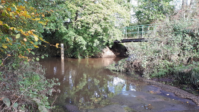
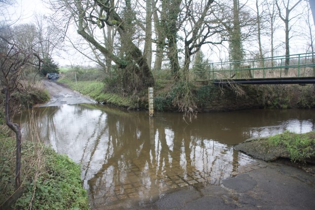
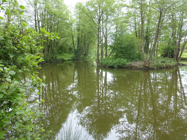
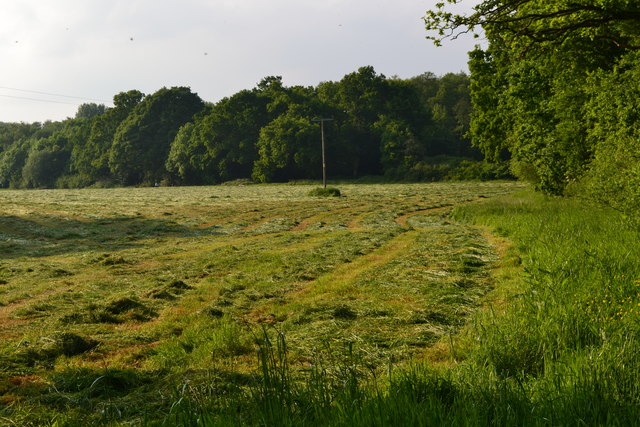
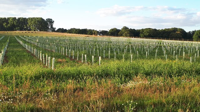
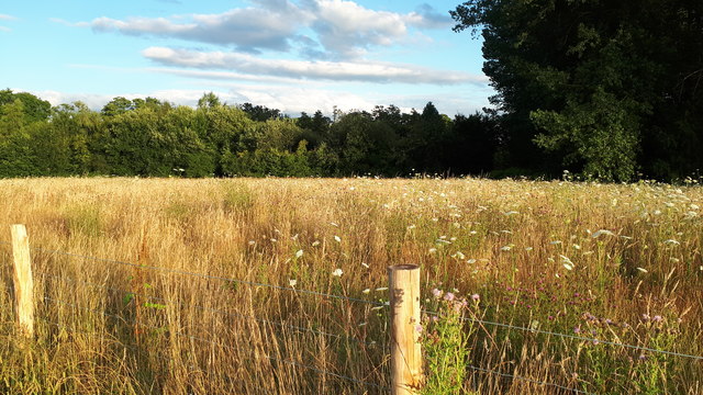
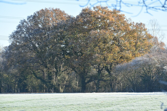
Batter's Copse is a charming woodland area located in Hampshire, England. Covering an area of approximately 10 acres, this beautiful copse is renowned for its diverse range of flora and fauna, making it a popular destination for nature enthusiasts and hikers alike.

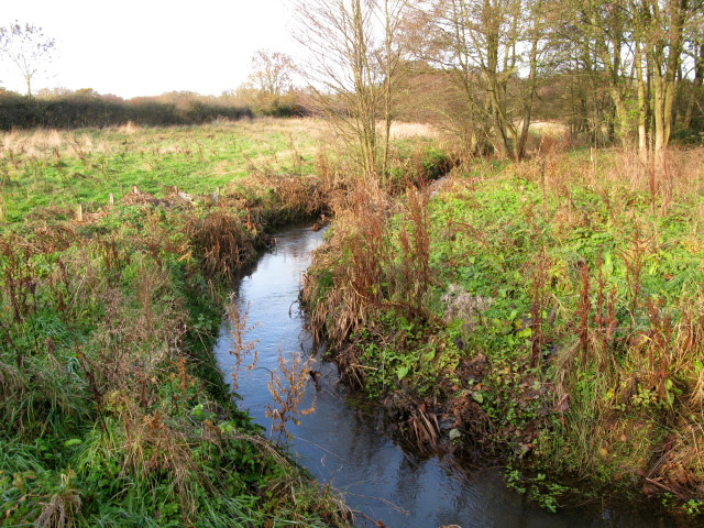
The copse is primarily composed of a mixture of deciduous and coniferous trees, including oak, beech, and pine, which create a stunning display of colors throughout the seasons. The dense foliage provides a tranquil and peaceful atmosphere, offering a respite from the hustle and bustle of everyday life.

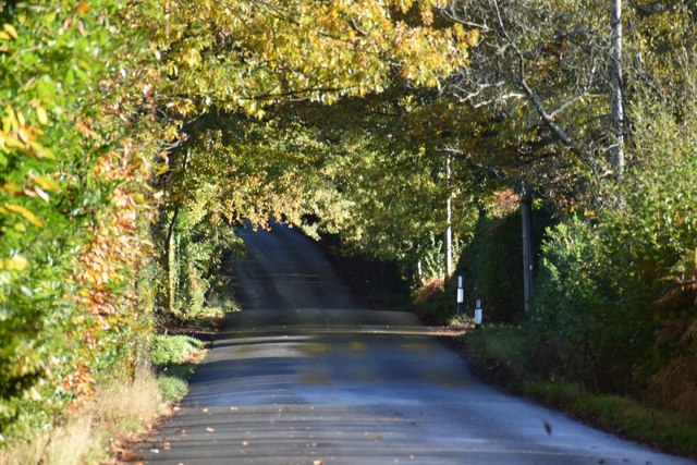
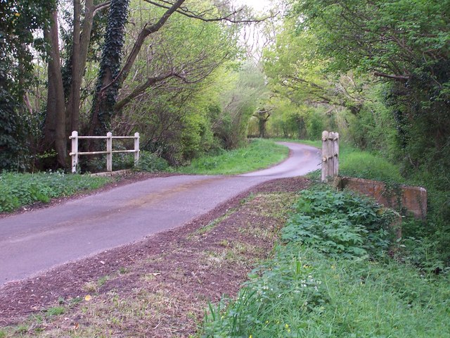
Trails wind through the copse, allowing visitors to explore and appreciate the natural beauty that surrounds them. The pathways are well-maintained, making it accessible for people of all ages and abilities. Along the trails, visitors are likely to encounter a variety of wildlife, such as squirrels, rabbits, and a wide array of bird species.

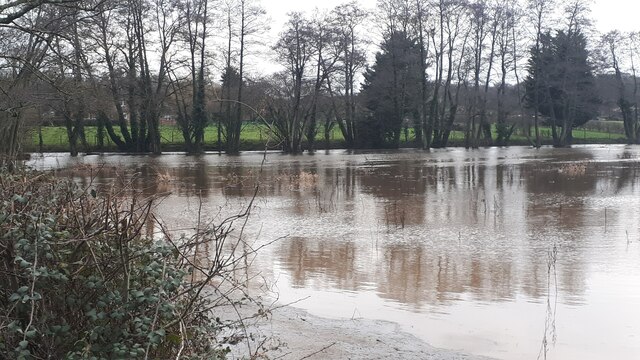
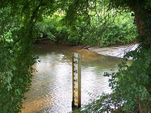
Batter's Copse also boasts a small pond, which further enhances the biodiversity of the area. It attracts various aquatic creatures, including frogs, newts, and a diverse range of insects, adding to the overall charm of the woodland.

In addition to its natural beauty, Batter's Copse has historical significance. It is believed to have been used as a hiding place for locals during World War II, offering shelter from the air raids that occurred in the region. This adds a layer of intrigue and nostalgia for history enthusiasts who visit the copse.

Overall, Batter's Copse is a haven of tranquility and natural beauty, providing a delightful escape into the wonders of Hampshire's woodlands.

If you have any feedback on the listing, please let us know in the comments section below.

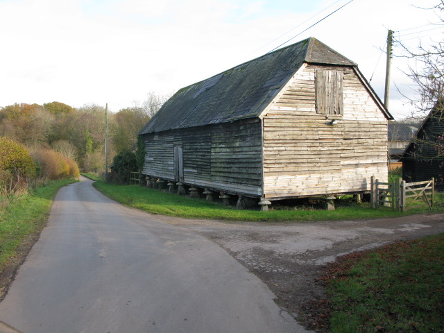
Batter's Copse Images

Images are sourced within 2km of 50.98929/-1.5525485 or Grid Reference SU3121. Thanks to Geograph Open Source API. All images are credited.

Ford and footbridge in Foxes Lane River Blackwater just above the 2 feet mark on the depth gauge.
Ford and footbridge in Foxes Lane
River Blackwater just above the 2 feet mark on the depth gauge.
West Wellow Ford This ford on the River Blackwater is found on Foxes Lane near West Wellow. A video of the ford can be seen at:
<span class="nowrap"><a title="https://youtu.be/wYqMU-7Vmbs" rel="nofollow ugc noopener" href="https://youtu.be/wYqMU-7Vmbs">Link</a><img style="margin-left:2px;" alt="External link" title="External link - shift click to open in new window" src="https://s1.geograph.org.uk/img/external.png" width="10" height="10"/></span>
West Wellow Ford
This ford on the River Blackwater is found on Foxes Lane near West Wellow. A video of the ford can be seen at: LinkExternal link
Pond near Sherfield English One of a number if small ponds in this area.
Pond near Sherfield English
One of a number if small ponds in this area.
Freshly mown field at Wellow Wood
New planting between Foxes Lane and Wellow Church Hard to tell what is in the protective tubes as yet: possibly vines? Seen through a new deer fence.
New planting between Foxes Lane and Wellow Church
Hard to tell what is in the protective tubes as yet: possibly vines? Seen through a new deer fence.
Field view from newly-fenced footpath Previously a footpath across an open field, this has recently been fenced in.  For the other side of the path, see <a href="https://www.geograph.org.uk/photo/6542801">SU2920 : New planting between Foxes Lane and Wellow Church</a>.
Field view from newly-fenced footpath
Previously a footpath across an open field, this has recently been fenced in. For the other side of the path, see SU2920 : New planting between Foxes Lane and Wellow Church.
Pigs in field beside Hackleys Lane
Wellow Mill, seen across field Former water mill now converted to residential use - there is no public access to the riverside.
Wellow Mill, seen across field
Former water mill now converted to residential use - there is no public access to the riverside.
Trees seen across frosty field near Fir Hill Farm
East Wellow, St Margaret
Floodwater beside Woodington Lane The main River Blackwater channel runs just in front of the line of trees.
Floodwater beside Woodington Lane
The main River Blackwater channel runs just in front of the line of trees.
Ryedown Lane Looking in the Romsey direction from opposite Chestnut Cottages.
Ryedown Lane
Looking in the Romsey direction from opposite Chestnut Cottages.
Bridge over stream at Dandy's Ford The remains of the ford are to the right of the photo, very overgrown.  This scene is typical of the area with many small lanes and streams.
Bridge over stream at Dandy's Ford
The remains of the ford are to the right of the photo, very overgrown. This scene is typical of the area with many small lanes and streams.
Raised granary at Cross Oaks farm A large wooden granary raised on staddle stones.
Raised granary at Cross Oaks farm
A large wooden granary raised on staddle stones.
Ford and depth marker, West Wellow This is the point where Foxes Lane crosses the River Blackwater, taken from the adjacent footbridge.  It looks tame now, but last winter more than one car was washed off the road here!
Ford and depth marker, West Wellow
This is the point where Foxes Lane crosses the River Blackwater, taken from the adjacent footbridge. It looks tame now, but last winter more than one car was washed off the road here!
Stream near Broad Woods Lane
Junction of Wellow Grove with Dandy's Ford Lane
Large wooden building at Cross Oaks Farm On Broad Woods Lane, first submitted in 2007 see <a title="https://www.geograph.org.uk/photo/416114" href="https://www.geograph.org.uk/photo/416114">Link</a>
Large wooden building at Cross Oaks Farm
On Broad Woods Lane, first submitted in 2007 see Link
Show me another place!

Batter's Copse is located at Grid Ref: SU3121 (Lat: 50.98929, Lng: -1.5525485)

Administrative County: Hampshire

District: Test Valley

Police Authority: Hampshire

What 3 Words

///fortified.workloads.avoiding. Near West Wellow, Hampshire

Related Wikis

Embley, Hampshire

Embley is a small village in the Test Valley district of Hampshire, England in the United Kingdom. Its nearest town is Romsey, which lies approximately...

Embley (school)

Embley School (formerly Hampshire Collegiate School) is an independent day and boarding school for both girls and boys aged 2 to 18 located in Embley Park...

Embley Park

Embley Park, in Wellow (near Romsey, Hampshire), was the family home of Florence Nightingale from 1825 until her death in 1910. It is also where Florence...

Shootash

Shootash was, before WWI, originally an area consisting of a few farmsteads, woodland and common land which subsequently developed during the 20th century...
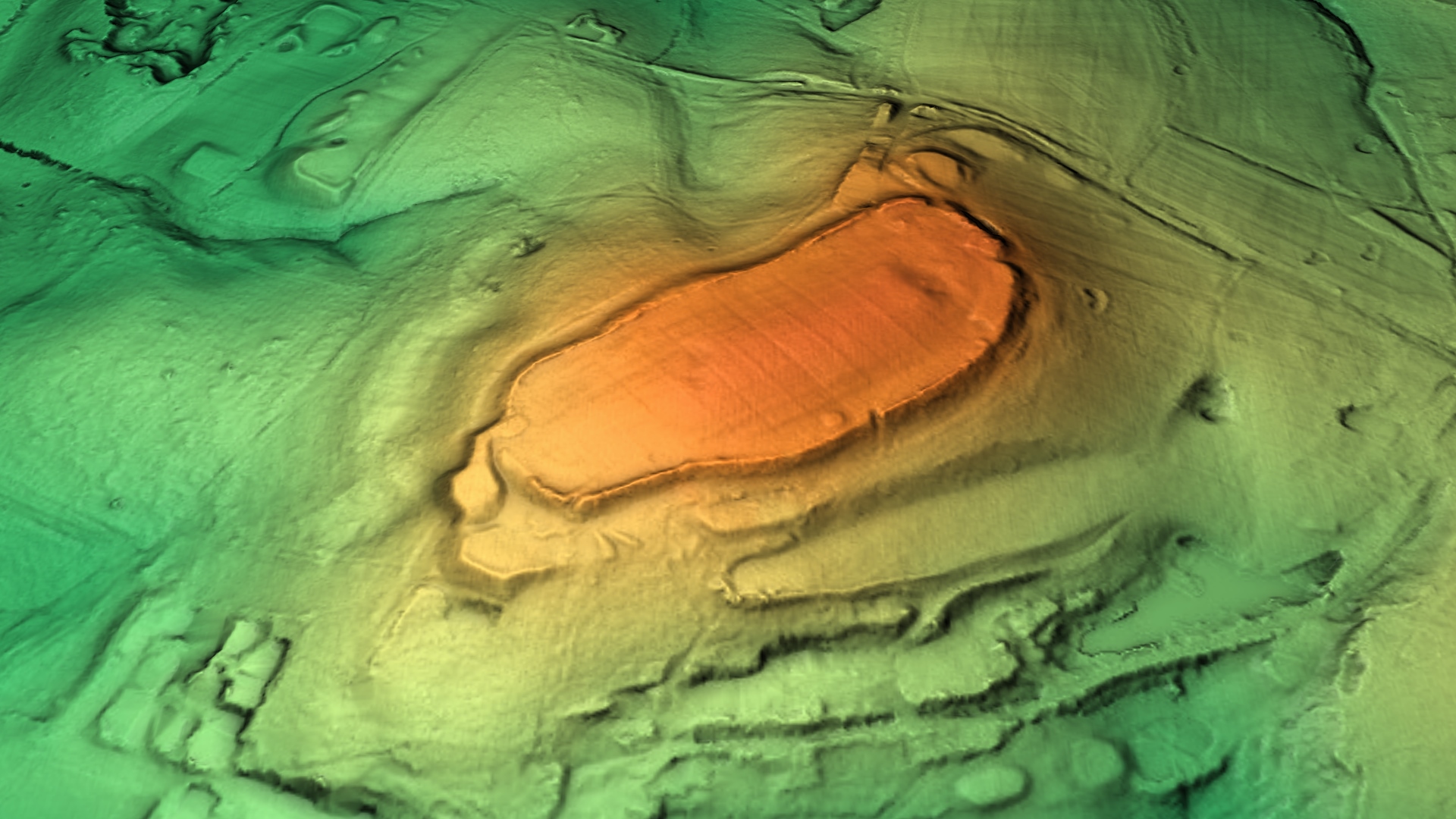
Dunwood Camp

Dunwood Camp is the site of an Iron Age hillfort located in Hampshire. It occupies the summit of a sandy hill. It has a single Rampart (fortification)...

Wellow, Hampshire

Wellow is a village and civil parish in Hampshire, England that falls within the Test Valley district. The village lies just outside the New Forest, across...

Roke Manor Research

Roke Manor Research Limited is a British company based at Roke Manor near Romsey, Hampshire, which conducts research and development in the fields of communications...

Roke Manor

Roke Manor is a 17th-century manor house approximately 1.2 miles (2 km) north-west of Romsey in Hampshire, England. The house and 22-acre (8.9 ha) grounds...

Nearby Amenities

Located within 500m of 50.98929,-1.5525485
Power: pole
Source: bing
Lat/Long: 50.9877494/-1.5518323
Power: pole
Source: bing
Lat/Long: 50.9877621/-1.5528448
Power: pole
Source: bing
Lat/Long: 50.9878752/-1.5543951
Power: pole
Source: bing
Lat/Long: 50.9879528/-1.5553486
Power: pole
Source: bing
Lat/Long: 50.987399/-1.5565637
Power: pole
Source: bing
Lat/Long: 50.9880339/-1.5564282
Power: pole
Source: bing
Lat/Long: 50.9868351/-1.5564846
Power: pole
Source: bing
Lat/Long: 50.9860533/-1.556443
Batter's Copse
Natural: wood
Lat/Long: 50.9890517/-1.5521518
Spouts Copse
Natural: wood
Lat/Long: 50.9903112/-1.5493695
Golf: pin
Lat/Long: 50.98561/-1.54912
The data included in this document is from www.openstreetmap.org. The data is made available under ODbL.

Have you been to Batter's Copse?

Leave your review of Batter's Copse below (or comments, questions and feedback).