Kings Lake
Lake, Pool, Pond, Freshwater Marsh in Hampshire Test Valley
England
Kings Lake
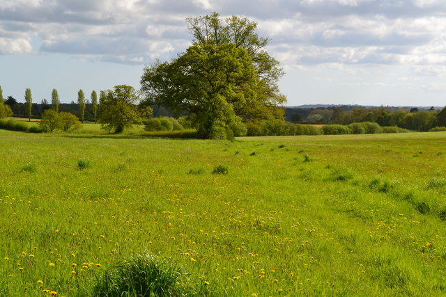
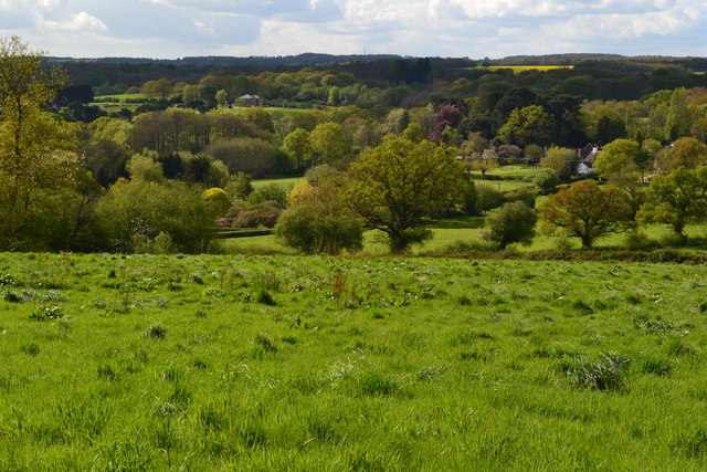
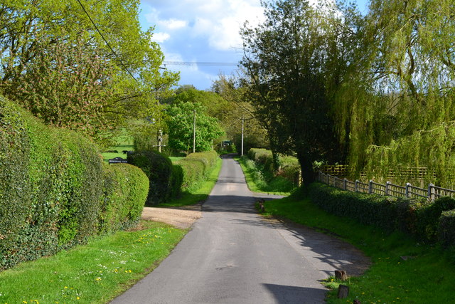
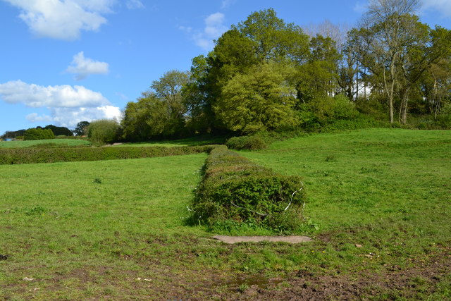
Kings Lake, situated in Hampshire, is a picturesque freshwater marsh that encompasses a pool, pond, and lake. Nestled amidst the stunning landscape of the English countryside, this natural marvel offers a serene and captivating experience for visitors.
The lake itself is a vast expanse of calm, crystal-clear water, reflecting the surrounding lush greenery and blue skies above. Its tranquil atmosphere is well-suited for a variety of recreational activities, such as fishing, boating, and kayaking. The abundant fish population attracts avid anglers, while the calm waters make it an ideal spot for beginners to try their hand at fishing.
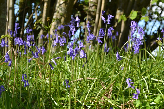
Adjacent to the lake lies a smaller, yet equally enchanting, pond. This secluded oasis is teeming with a diverse array of aquatic plants and wildlife, providing a peaceful habitat for birds, frogs, and other small creatures. Nature enthusiasts can explore the pond's edges, observing the delicate balance of life it sustains.
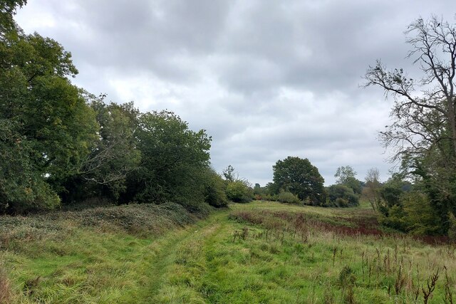
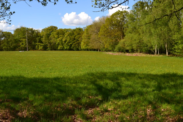
Surrounding the lake and pond is a sprawling freshwater marsh, which acts as an important ecological filter. This marshland is home to an array of plant species, such as reeds and sedges, which help purify the water and provide a haven for various bird species. The marshland also serves as an essential breeding ground for amphibians, adding to the overall biodiversity of the area.
Kings Lake is a haven for both nature lovers and those seeking a tranquil escape from the bustling city life. Its serene waters, diverse flora and fauna, and stunning landscape make it a must-visit destination for anyone exploring the Hampshire region.
If you have any feedback on the listing, please let us know in the comments section below.
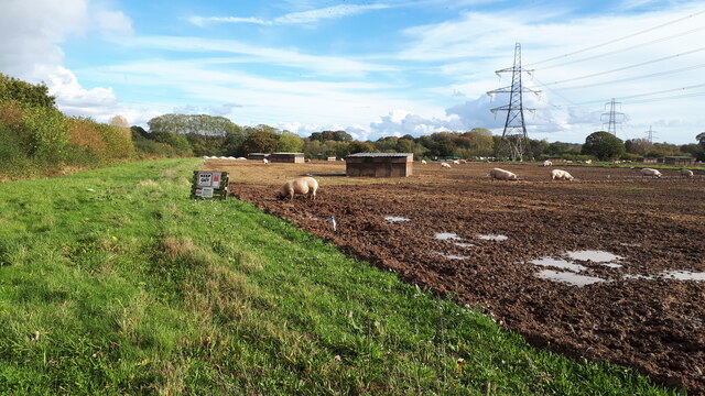
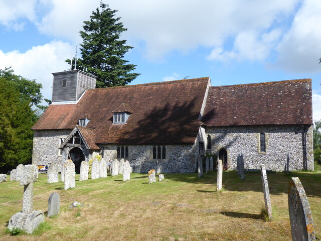
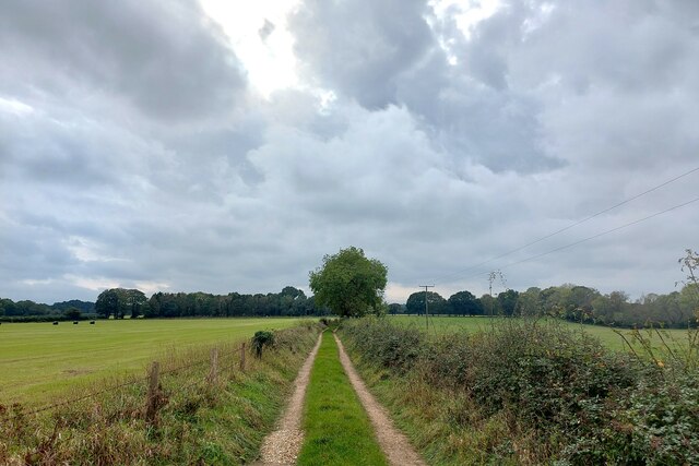
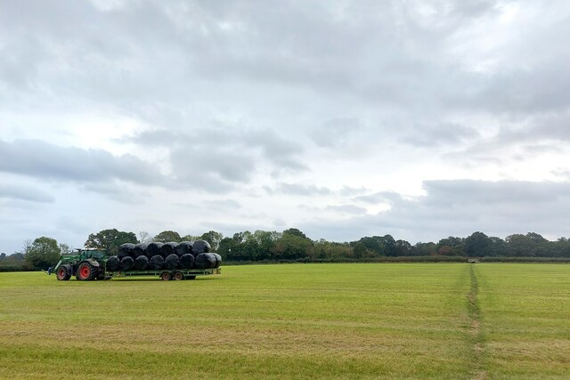
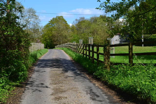
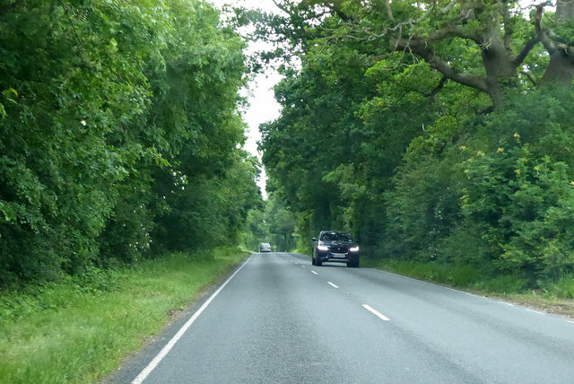
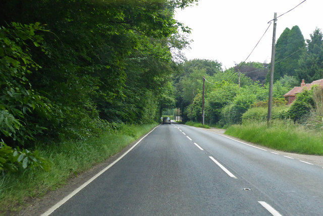
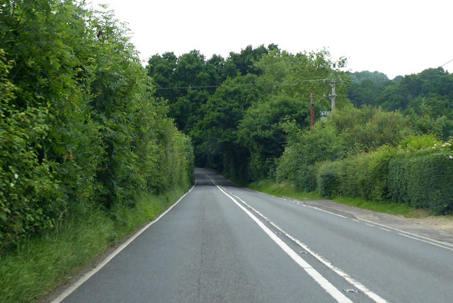
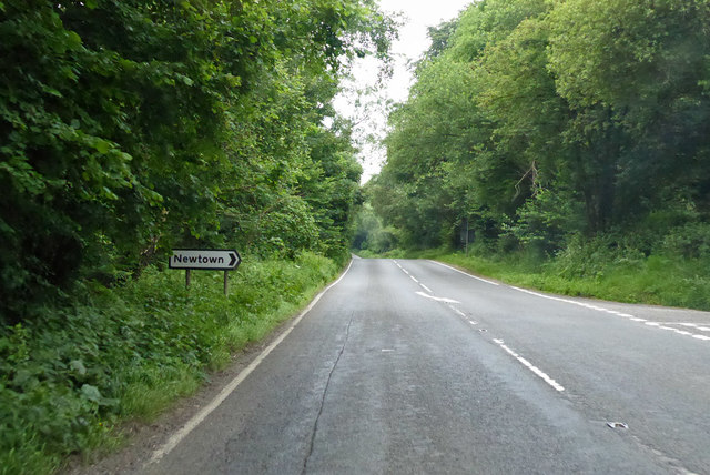
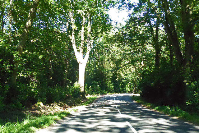
Kings Lake Images
Images are sourced within 2km of 50.99229/-1.5470055 or Grid Reference SU3121. Thanks to Geograph Open Source API. All images are credited.
Kings Lake is located at Grid Ref: SU3121 (Lat: 50.99229, Lng: -1.5470055)
Administrative County: Hampshire
District: Test Valley
Police Authority: Hampshire
What 3 Words
///dislodge.moats.slate. Near Romsey, Hampshire
Nearby Locations
Related Wikis

Embley, Hampshire
Embley is a small village in the Test Valley district of Hampshire, England in the United Kingdom. Its nearest town is Romsey, which lies approximately...
Shootash
Shootash was, before WWI, originally an area consisting of a few farmsteads, woodland and common land which subsequently developed during the 20th century...
Embley (school)
Embley School (formerly Hampshire Collegiate School) is an independent day and boarding school for both girls and boys aged 2 to 18 located in Embley Park...

Embley Park
Embley Park, in Wellow (near Romsey, Hampshire), was the family home of Florence Nightingale from 1825 until her death in 1910. It is also where Florence...
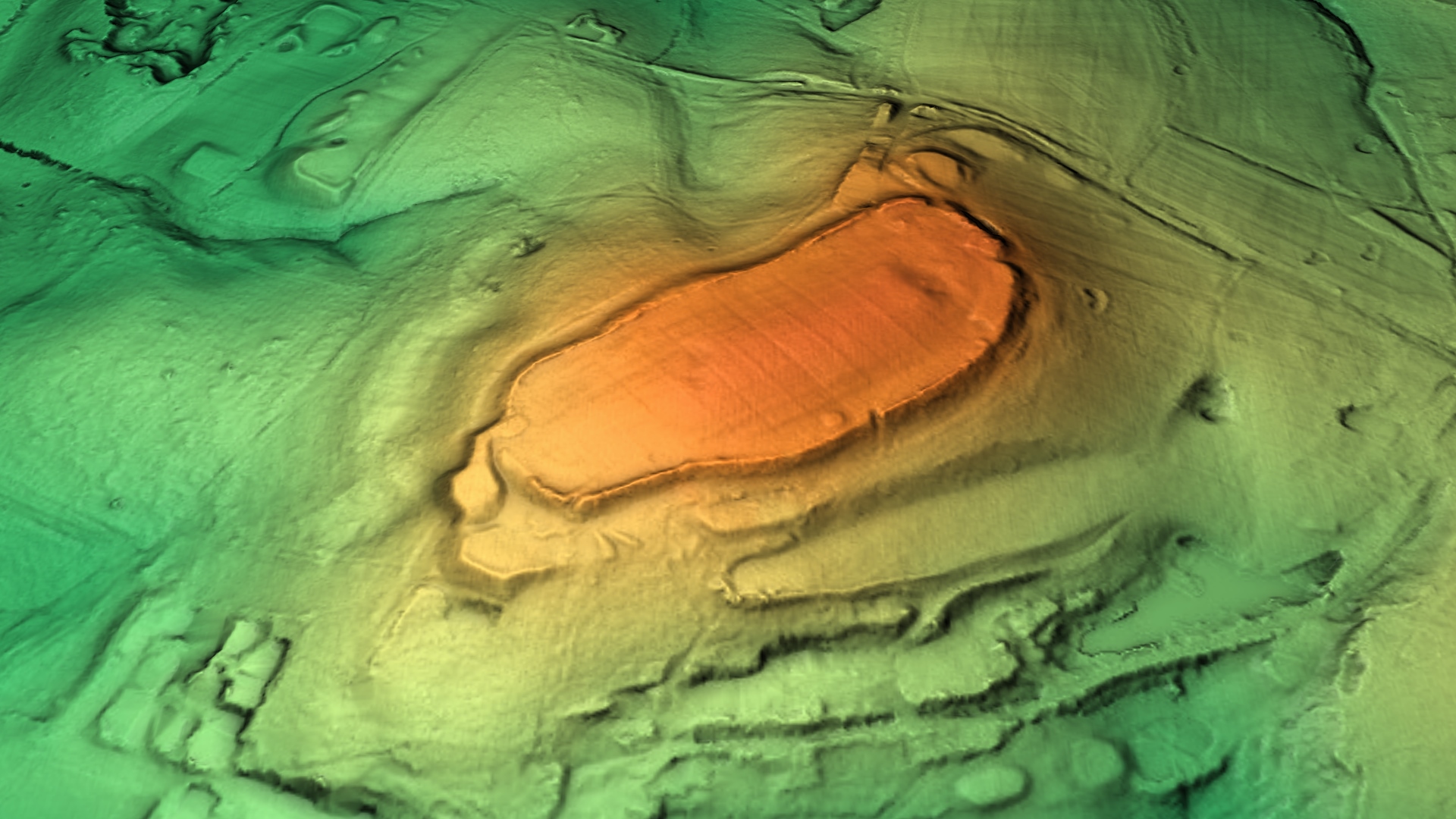
Dunwood Camp
Dunwood Camp is the site of an Iron Age hillfort located in Hampshire. It occupies the summit of a sandy hill. It has a single Rampart (fortification)...
Roke Manor Research
Roke Manor Research Limited is a British company based at Roke Manor near Romsey, Hampshire, which conducts research and development in the fields of communications...

Roke Manor
Roke Manor is a 17th-century manor house approximately 1.2 miles (2 km) north-west of Romsey in Hampshire, England. The house and 22-acre (8.9 ha) grounds...

Stanbridge Earls School
Stanbridge Earls School was a coeducational independent special school located near Romsey, Hampshire, England. Students ranged in age from 10–19. The...
Nearby Amenities
Located within 500m of 50.99229,-1.5470055Have you been to Kings Lake?
Leave your review of Kings Lake below (or comments, questions and feedback).